Dormston
Civil Parish in Worcestershire Wychavon
England
Dormston
Dormston is a civil parish located in the county of Worcestershire, England. Situated about 6 miles southeast of the town of Droitwich Spa, Dormston is a rural area with a population of around 400 residents. The parish covers an area of approximately 4.5 square miles and is surrounded by picturesque countryside.
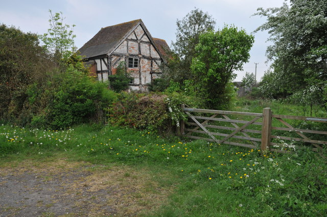
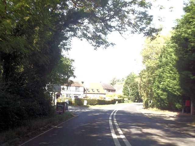
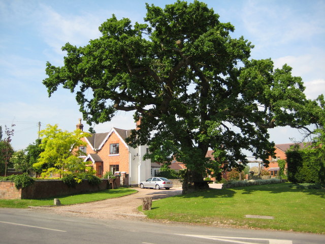
The village of Dormston itself is a small settlement with a charming and peaceful atmosphere. It is characterized by a mix of traditional and modern buildings, including a number of attractive cottages and farmhouses. The village is centered around St. Nicholas Church, a beautiful Grade II listed building dating back to the 12th century. The church serves as a focal point for the community and hosts regular services and events.
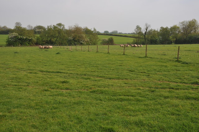
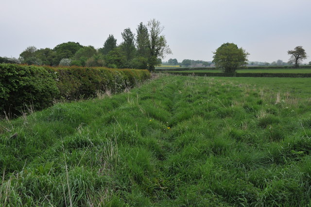
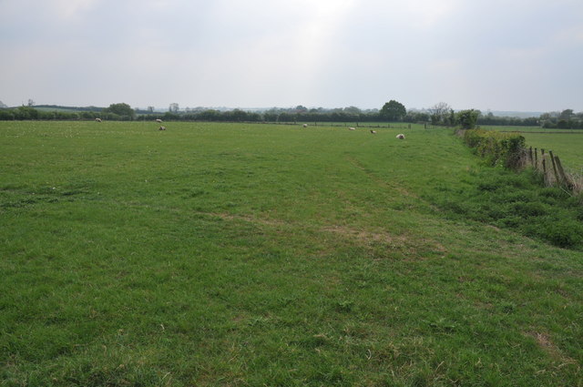
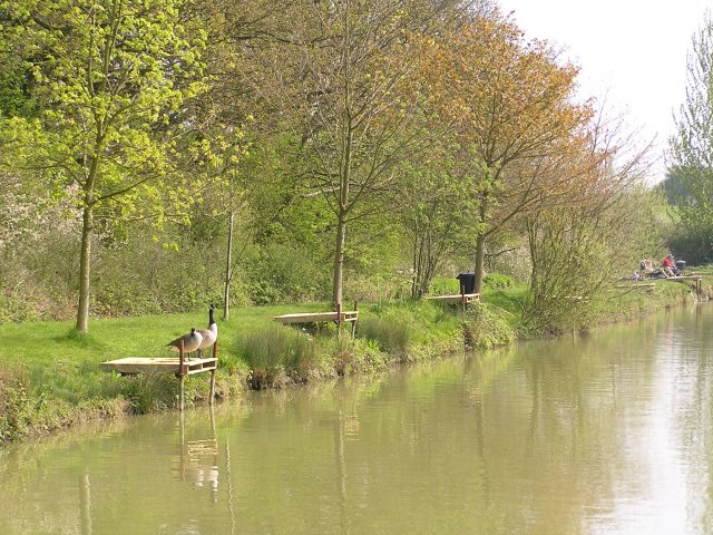
The surrounding countryside offers stunning views and ample opportunities for outdoor activities such as walking, cycling, and horse riding. The area is also known for its farming heritage, with several working farms located within the parish. Agriculture plays a significant role in the local economy, along with other sectors such as retail and services.
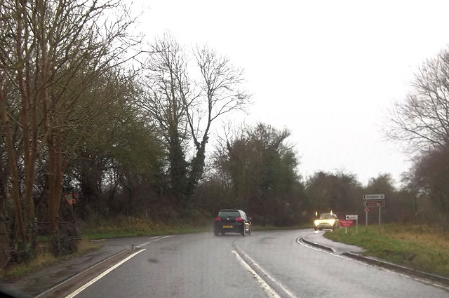
Despite its rural setting, Dormston benefits from good transport links. The nearby M5 motorway provides easy access to larger towns and cities, while the railway stations in Droitwich Spa and Worcester offer connections to major urban centers.
In summary, Dormston is a peaceful and picturesque civil parish in Worcestershire, offering a tranquil rural lifestyle while still being conveniently connected to nearby towns and cities.
If you have any feedback on the listing, please let us know in the comments section below.
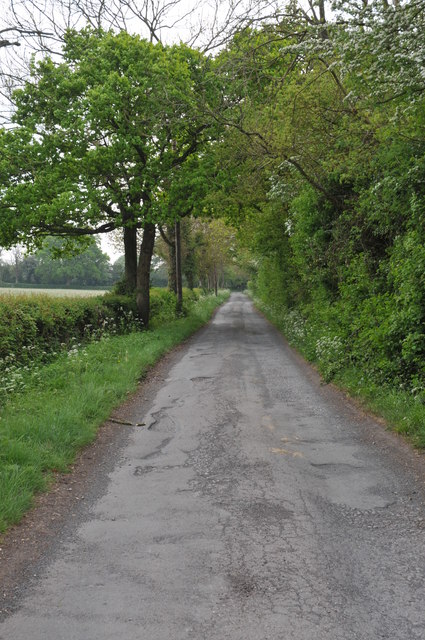
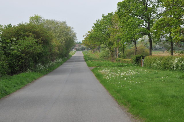
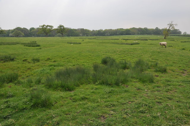
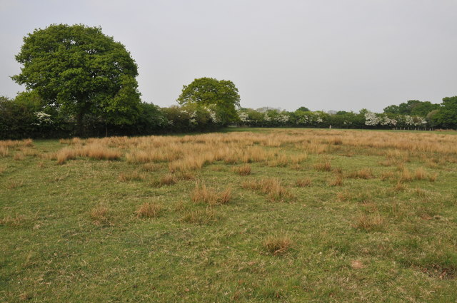
Dormston Images
Images are sourced within 2km of 52.210033/-2.015979 or Grid Reference SO9956. Thanks to Geograph Open Source API. All images are credited.


Dormston is located at Grid Ref: SO9956 (Lat: 52.210033, Lng: -2.015979)
Administrative County: Worcestershire
District: Wychavon
Police Authority: West Mercia
What 3 Words
///examine.underline.bonus. Near Kington, Worcestershire
Nearby Locations
Related Wikis

Dormston
Dormston is a village and civil parish in Worcestershire about 3 miles (4.8 km) south of Redditch. == Name == Dormston's toponym has evolved from Deormodesealdtune...

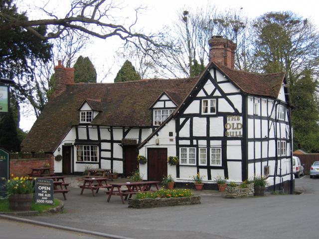
Kington, Worcestershire
Kington is a village in Worcestershire, England, situated near to Flyford Flavell. == History == The earliest known recording of Kington in the Domesday...

Little Inkberrow
Little Inkberrow is a village in Worcestershire, England. Ralph Ardern inherited the Worcestershire manor of Little Inkberrow between 1382 (the death...

Grafton Wood
Grafton Wood is a nature reserve near the village of Grafton Flyford, about 6 miles (9.7 km) east of Worcester, in Worcestershire, England. == Description... ==
Flyford Flavell
Flyford Flavell is a village in Worcestershire , it has a traditional pub in the centre of the village adjacent to the village green and a first school...
Inkberrow
Inkberrow is a village in Worcestershire, England, often thought to be the model for Ambridge, the setting of BBC Radio 4's long-running series The Archers...

Grafton Flyford
Grafton Flyford is a village about 6 miles (9.7 km) east of Worcester, in Worcestershire, England. It neighbours Stock Green, with the large farm house...

Sporting Club Inkberrow F.C.
Sporting Club Inkberrow Football Club is a football club based in Inkberrow, England. They are currently members of the Hellenic League Division One and...
Nearby Amenities
Located within 500m of 52.210033,-2.015979Have you been to Dormston?
Leave your review of Dormston below (or comments, questions and feedback).