Doddington

Civil Parish in Cambridgeshire Fenland

England

Doddington

Overgrown public byway off Dykemoor Drove Overgrown public byway off Dykemoor Drove
Overgrown public byway off Dykemoor Drove Credit: Shaun Ferguson

Doddington is a civil parish located in the county of Cambridgeshire, England. Situated in the Fenland district, it is part of the East Cambridgeshire administrative area. The village of Doddington is the main settlement within the parish and is approximately 4 miles east of the town of March.

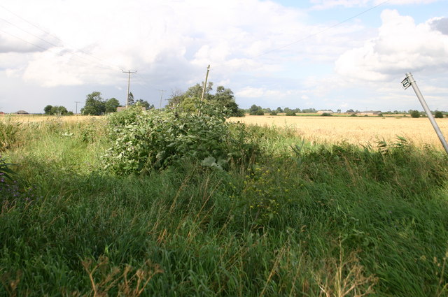
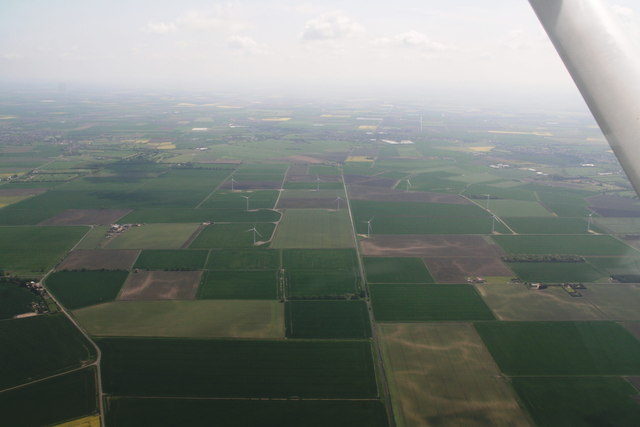
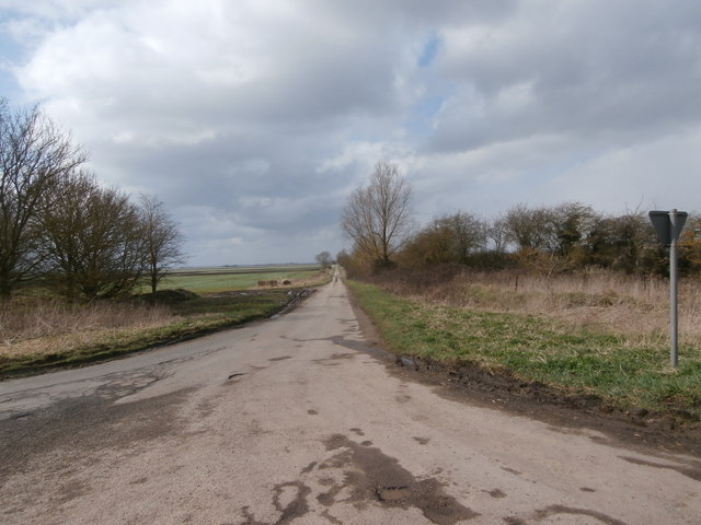
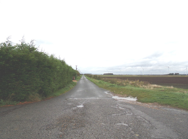
Doddington is a rural village with a population of around 1,500 residents. It is known for its picturesque countryside, charming cottages, and historic buildings. The village is surrounded by agricultural land, with farming being an important part of the local economy.

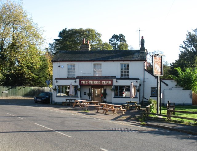
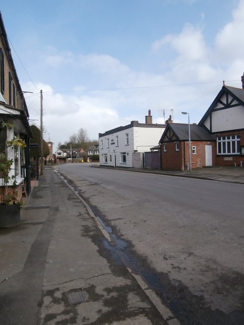
The center of Doddington features a range of amenities including a primary school, village hall, post office, and several shops and pubs. St. Mary's Church, a grade II listed building, is a prominent landmark in the village and dates back to the 13th century.

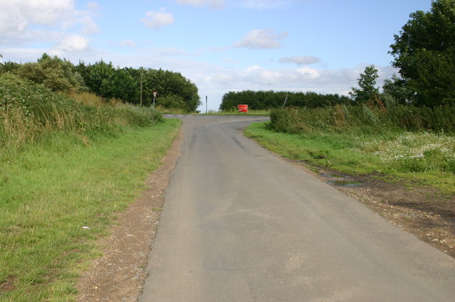
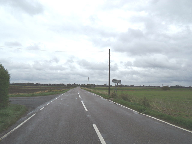
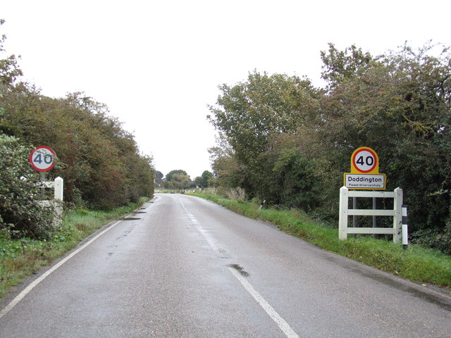
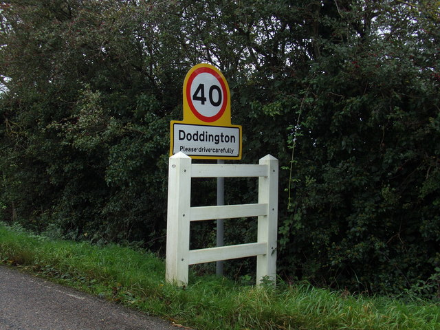
The village is well-connected to other towns and cities in the region. The A141 road runs through Doddington, providing easy access to nearby March and Chatteris. The nearest railway station is in March, offering regular services to Peterborough and Cambridge.

Doddington is also known for its annual events, such as the Doddington Carnival and the Doddington Music Festival, which attract visitors from the surrounding areas. The village has a strong sense of community, with various clubs and societies offering opportunities for residents to get involved in local activities.

Overall, Doddington offers a peaceful and idyllic setting for residents and visitors alike, with its rural charm and close-knit community.

If you have any feedback on the listing, please let us know in the comments section below.

Doddington Images

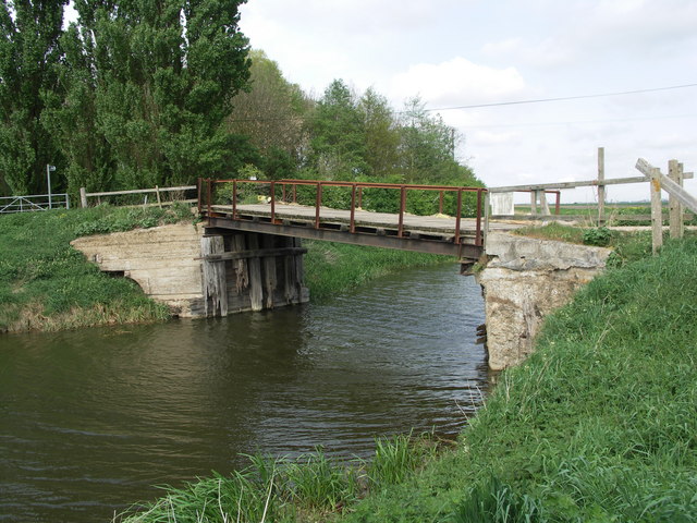
Images are sourced within 2km of 52.500745/0.038385 or Grid Reference TL3891. Thanks to Geograph Open Source API. All images are credited.

Overgrown public byway off Dykemoor Drove Overgrown public byway off Dykemoor Drove
Overgrown public byway off Dykemoor Drove
Dykemoor Drove junction with Primrose Hill Dykemoor Drove junction with Primrose Hill
Dykemoor Drove junction with Primrose Hill
Ransom Moor Windfarm and Flood's Drain: aerial 2016
The Three Tuns, Doddington
New Street, Doddington Looking towards the clock tower and the sturdily built shelter behind it.  Doddington has two pubs close to one another; the George <span class="nowrap"><a title="https://www.elgoods-brewery.co.uk/stores/the-george-inn/" rel="nofollow ugc noopener" href="https://www.elgoods-brewery.co.uk/stores/the-george-inn/">Link</a><img style="margin-left:2px;" alt="External link" title="External link - shift click to open in new window" src="https://s1.geograph.org.uk/img/external.png" width="10" height="10"/></span> can be seen on the right and the Three Tuns is behind the photographer.
New Street, Doddington
Looking towards the clock tower and the sturdily built shelter behind it. Doddington has two pubs close to one another; the George LinkExternal link can be seen on the right and the Three Tuns is behind the photographer.
J Everitt and Sons The firm of J Everitt and Sons holds a Royal Warrant from Queen Elizabeth II as 'Supplier of Hay, Straw, Horse Feeds & Bedding'. <span class="nowrap"><a title="https://www.royalwarrant.org/company/j-everitt-sons" rel="nofollow ugc noopener" href="https://www.royalwarrant.org/company/j-everitt-sons">Link</a><img style="margin-left:2px;" alt="External link" title="External link - shift click to open in new window" src="https://s1.geograph.org.uk/img/external.png" width="10" height="10"/></span> The Royal Arms are proudly displayed on the fence.  A wrought iron sign lists some of the products they deal in such as 'Picasso pots'.
J Everitt and Sons
The firm of J Everitt and Sons holds a Royal Warrant from Queen Elizabeth II as 'Supplier of Hay, Straw, Horse Feeds & Bedding'. LinkExternal link The Royal Arms are proudly displayed on the fence. A wrought iron sign lists some of the products they deal in such as 'Picasso pots'.
Dykemoor Drove We're in Fenland, and this means some largely featureless squares.  No wonder all the handful of pictures of this square so far are of Dykemoor Drove, whose junction with Primrose Hill (where this photograph was taken) is almost the only point of interest in it.
Dykemoor Drove
We're in Fenland, and this means some largely featureless squares. No wonder all the handful of pictures of this square so far are of Dykemoor Drove, whose junction with Primrose Hill (where this photograph was taken) is almost the only point of interest in it.
Fire damaged wind turbine on Ranson Moor west of March According to press reports the turbine was struck by lightning earlier in the day. The fire service allowed the fire to burn itself out as they had no way to fight the fire. It does beg the question what would happen if there was a fire in a turbine close to buildings such as these two turbines <a title="https://www.geograph.org.uk/photo/4612225" href="https://www.geograph.org.uk/photo/4612225">Link</a> and <a title="https://www.geograph.org.uk/photo/3220476" href="https://www.geograph.org.uk/photo/3220476">Link</a>
For a closer look at the damage see <a title="https://www.geograph.org.uk/photo/5792320" href="https://www.geograph.org.uk/photo/5792320">Link</a> and <a title="https://www.geograph.org.uk/photo/5792357" href="https://www.geograph.org.uk/photo/5792357">Link</a>
Fire damaged wind turbine on Ranson Moor west of March
According to press reports the turbine was struck by lightning earlier in the day. The fire service allowed the fire to burn itself out as they had no way to fight the fire. It does beg the question what would happen if there was a fire in a turbine close to buildings such as these two turbines Link and Link For a closer look at the damage see Link and Link
Burnt out wind turbine on Ranson Moor near March, Cambridgeshire See <a title="https://www.geograph.org.uk/photo/5792309" href="https://www.geograph.org.uk/photo/5792309">Link</a> for another view
For press report see <span class="nowrap"><a title="http://www.edp24.co.uk/news/fens-wind-turbine-fire-1-5539825" rel="nofollow ugc noopener" href="http://www.edp24.co.uk/news/fens-wind-turbine-fire-1-5539825">Link</a><img style="margin-left:2px;" alt="External link" title="External link - shift click to open in new window" src="https://s1.geograph.org.uk/img/external.png" width="10" height="10"/></span>
Burnt out wind turbine on Ranson Moor near March, Cambridgeshire
See Link for another view For press report see LinkExternal link
Burnt out wind turbine on Ranson Moor near March For a more distant view see <a title="https://www.geograph.org.uk/photo/5792309" href="https://www.geograph.org.uk/photo/5792309">Link</a>
For press report see <span class="nowrap"><a title="http://www.edp24.co.uk/news/fens-wind-turbine-fire-1-5539825" rel="nofollow ugc noopener" href="http://www.edp24.co.uk/news/fens-wind-turbine-fire-1-5539825">Link</a><img style="margin-left:2px;" alt="External link" title="External link - shift click to open in new window" src="https://s1.geograph.org.uk/img/external.png" width="10" height="10"/></span>
Burnt out wind turbine on Ranson Moor near March
For a more distant view see Link For press report see LinkExternal link
B1093 Benwick Road, Doddington At the junction with Dykemoor Drove
B1093 Benwick Road, Doddington
At the junction with Dykemoor Drove
Dykemoor Drove, Doddington At the junction with the B1093 Benwick Road
Dykemoor Drove, Doddington
At the junction with the B1093 Benwick Road
B1093 Benwick Road, Doddington At the junction with Parsons Land Drove
B1093 Benwick Road, Doddington
At the junction with Parsons Land Drove
Parsons Land Drove, Doddington At the junction with the B1093 Benwick Road
Parsons Land Drove, Doddington
At the junction with the B1093 Benwick Road
Roadsign on the B1093 Benwick Road At the junction with Parsons Land Drove
Roadsign on the B1093 Benwick Road
At the junction with Parsons Land Drove
Entering Doddington on the B1093 Benwick Road <span class="nowrap"><a title="https://en.wikipedia.org/wiki/Doddington,_Cambridgeshire" rel="nofollow ugc noopener" href="https://en.wikipedia.org/wiki/Doddington,_Cambridgeshire">Link</a><img style="margin-left:2px;" alt="External link" title="External link - shift click to open in new window" src="https://s1.geograph.org.uk/img/external.png" width="10" height="10"/></span>
Entering Doddington on the B1093 Benwick Road
Doddington Village Name sign On the B1093 Benwick Road
Doddington Village Name sign
On the B1093 Benwick Road
B1093 Benwick Road, Doddington <span class="nowrap"><a title="https://en.wikipedia.org/wiki/Doddington,_Cambridgeshire" rel="nofollow ugc noopener" href="https://en.wikipedia.org/wiki/Doddington,_Cambridgeshire">Link</a><img style="margin-left:2px;" alt="External link" title="External link - shift click to open in new window" src="https://s1.geograph.org.uk/img/external.png" width="10" height="10"/></span>
B1093 Benwick Road, Doddington
Show me another place!

Doddington is located at Grid Ref: TL3891 (Lat: 52.500745, Lng: 0.038385)

Division: Isle of Ely

Administrative County: Cambridgeshire

District: Fenland

Police Authority: Cambridgeshire

What 3 Words

///mixer.fears.baguette. Near Doddington, Cambridgeshire

Nearby Locations

Doddington

Related Wikis

Doddington, Cambridgeshire

Doddington is a village and civil parish lying just off the A141 in the Isle of Ely, Cambridgeshire, approximately half way (4 miles (6 km)) between Chatteris...

Swingbrow

Swingbrow (sometimes written Swing Brow) is a hamlet near to Chatteris , Cambridgeshire lying alongside the Forty Foot Drain built by Vermuyden. A Neolithic...

Wimblington

Wimblington is a village in the Isle of Ely, Cambridgeshire, England, with a population of 1700 as of the 2001 census, including Stonea and increasing...

Wimblington railway station

Wimblington railway station was a station in the village of Wimblington, Cambridgeshire. It was closed in 1967 as part of the Beeching Axe.The station...

Gault Wood

Gault Wood is a woodland in Cambridgeshire, England, near the town of March. It covers a total area of 6.51 hectares (16.09 acres). It is owned and managed...

Flood's Ferry

Flood's Ferry and Knight's End are hamlets between Benwick and March, Cambridgeshire, England. Flood's Ferry is the site of a large marina on the old course...

Forty Foot Drain

The Forty Foot or Forty Foot Drain is a name given to several of the principal channels in the drainage schemes of the Fens of Eastern England, the name...

Benwick

Benwick is a village and civil parish in the Fenland district of Cambridgeshire, England. It is approximately 15 miles (24 km) from Peterborough and 30...

Nearby Amenities

Located within 500m of 52.500745,0.038385
Power: pole
Lat/Long: 52.5000296/0.0322616
Power: pole
Lat/Long: 52.5002011/0.0447552
Power: pole
Lat/Long: 52.5000821/0.0434462
Power: pole
Lat/Long: 52.4999621/0.0409168
Power: pole
Lat/Long: 52.5000296/0.0421587
Power: pole
Lat/Long: 52.4999115/0.0335855
Power: pole
Lat/Long: 52.4999216/0.036324
Power: pole
Lat/Long: 52.4999227/0.0351382
Power: pole
Lat/Long: 52.4999362/0.037682
Power: pole
Lat/Long: 52.4999452/0.0392936
The data included in this document is from www.openstreetmap.org. The data is made available under ODbL.

Have you been to Doddington?

Leave your review of Doddington below (or comments, questions and feedback).