Disley
Civil Parish in Cheshire
England
Disley
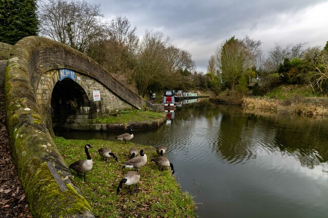
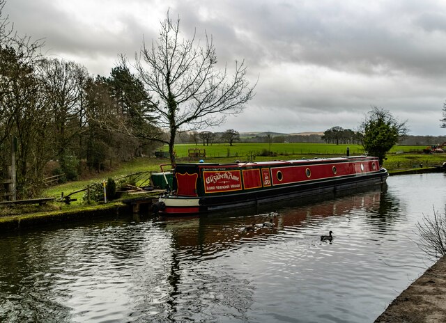
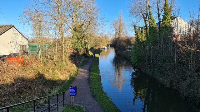
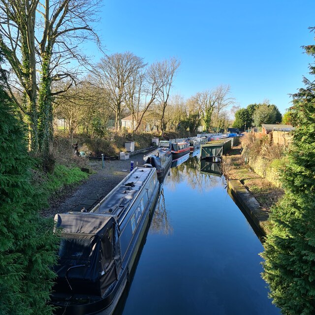
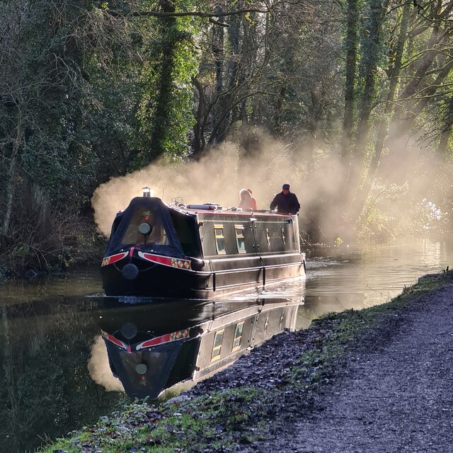
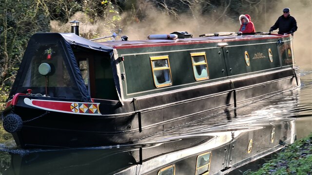
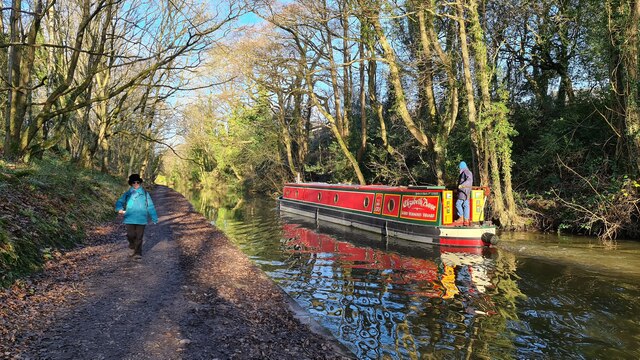
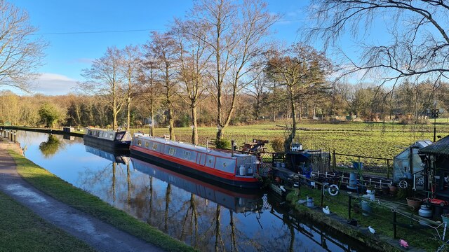
Disley is a civil parish located in the county of Cheshire, England. It lies on the edge of the Peak District National Park, approximately 10 miles southeast of Manchester. The village is situated on the banks of the River Goyt, which adds to its picturesque charm.
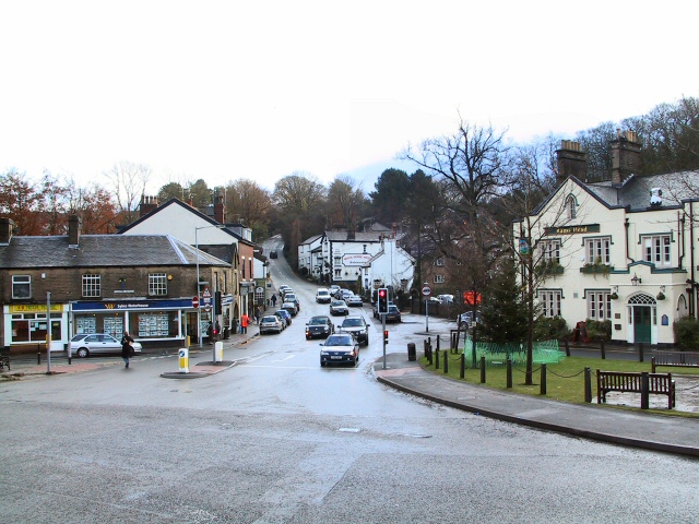
With a population of around 5,000 residents, Disley has a strong sense of community. It offers a range of amenities to cater to the needs of its residents, including shops, cafes, pubs, and a post office. The village also has a primary school, making it an attractive location for families.
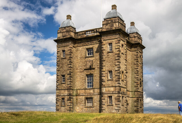
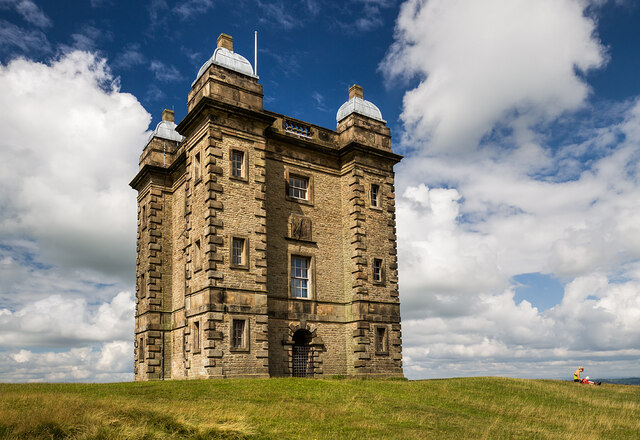
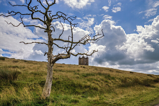
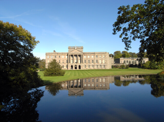
One of Disley's notable landmarks is the grand mansion, Lyme Park, which is located on the outskirts of the village. This magnificent stately home, surrounded by beautiful gardens and a deer park, attracts visitors from far and wide. It is also famous for its appearance in the BBC adaptation of "Pride and Prejudice."
The area surrounding Disley is renowned for its natural beauty, and the village serves as a gateway to the stunning Peak District National Park. This makes it a popular destination for outdoor enthusiasts who enjoy activities such as hiking, cycling, and horse riding.
In terms of transport links, Disley is well-connected. It has its own railway station, providing regular services to Manchester and Buxton. The village is also conveniently located near major road networks, including the A6 and the M60 motorway, allowing for easy access to nearby towns and cities.
Overall, Disley offers a tranquil and idyllic setting, combined with convenient amenities and access to stunning natural landscapes, making it an appealing place to live or visit.
If you have any feedback on the listing, please let us know in the comments section below.
Disley Images
Images are sourced within 2km of 53.354588/-2.054339 or Grid Reference SJ9684. Thanks to Geograph Open Source API. All images are credited.


Disley is located at Grid Ref: SJ9684 (Lat: 53.354588, Lng: -2.054339)
Unitary Authority: Cheshire East
Police Authority: Cheshire
What 3 Words
///contour.motored.reach. Near Disley, Cheshire
Nearby Locations
Related Wikis
Disley
Disley is a village and civil parish in Cheshire, England. It is located on the edge of the Peak District in the Goyt valley, south of Stockport and close...
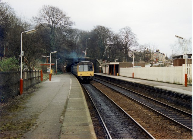
Disley railway station
Disley railway station serves the village of Disley in Cheshire, England. It is 12+1⁄3 miles (19.8 km) south east of Manchester Piccadilly on the Buxton...

St Mary's Church, Disley
St Mary's Church is an Anglican parish church in the diocese of Chester, the archdeaconry of Macclesfield and the deanery of Chadkirk. It is on a hill...

Wyberslegh Hall
Wyberslegh Hall (sometimes spelled Wybersley Hall) is a large house dating from the 16th century, on the edge of the village of High Lane in Greater Manchester...

Bollinhurst Reservoir
The Bollinhurst Reservoir was constructed in Lyme Park in 1872 for the Stockport District Waterworks Company. At the time of the First World War, it had...

High Lane, Greater Manchester
High Lane is a village in the Metropolitan Borough of Stockport, Greater Manchester, England, on the Macclesfield Canal, 5 miles (8 km) from Stockport...

Lyme Handley
Lyme Handley, sometimes known as Lyme, is a former civil parish, now in the parish of Kettleshulme and Lyme Handley, in between Disley and Stockport, in...

Lyme Park
Lyme Park is a large estate south of Disley, Cheshire, England, managed by the National Trust and consisting of a mansion house surrounded by formal gardens...
Nearby Amenities
Located within 500m of 53.354588,-2.054339Have you been to Disley?
Leave your review of Disley below (or comments, questions and feedback).