Dinckley
Civil Parish in Lancashire Ribble Valley
England
Dinckley
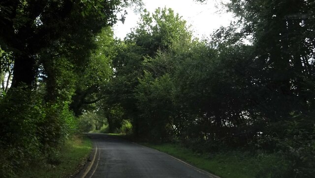
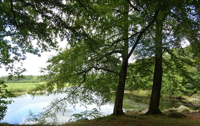
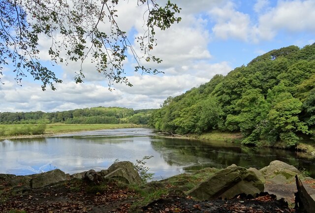
Dinckley is a civil parish located in the county of Lancashire in England. Situated on the southern bank of the River Ribble, it is a small and picturesque village surrounded by beautiful countryside and farmland.
The parish covers an area of approximately 4 square kilometers and is home to a population of around 200 residents. The village is primarily residential, consisting of a mix of traditional stone-built houses and more modern properties.
Dinckley is known for its tranquil and peaceful atmosphere, making it an ideal place for those looking to escape the hustle and bustle of city life. The surrounding countryside offers plenty of opportunities for outdoor activities such as walking, cycling, and fishing, with the River Ribble being particularly popular among anglers.
The village itself has limited amenities, with only a small number of local shops and services available. However, nearby towns such as Blackburn and Clitheroe provide a wider range of amenities including supermarkets, schools, and healthcare facilities.
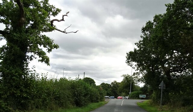
Dinckley is well-connected to the rest of Lancashire via road networks, with the A59 passing through the parish. This allows for easy access to nearby towns and cities such as Preston, Manchester, and Blackpool.
Overall, Dinckley is a charming and idyllic village, offering a peaceful and rural lifestyle to its residents. Its picturesque location and proximity to the River Ribble make it a popular choice for those seeking a tranquil retreat in the heart of Lancashire.
If you have any feedback on the listing, please let us know in the comments section below.
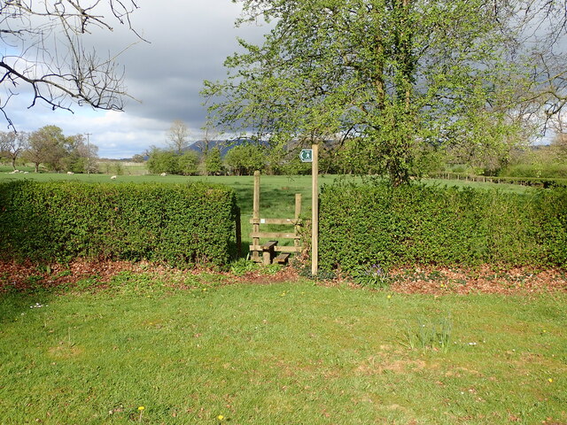
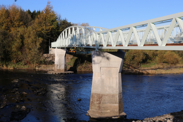
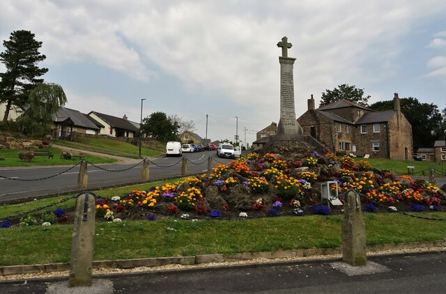
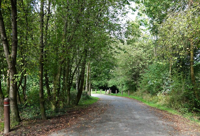
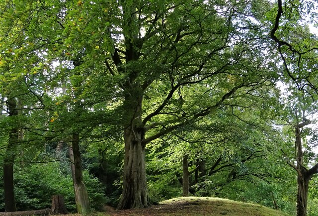
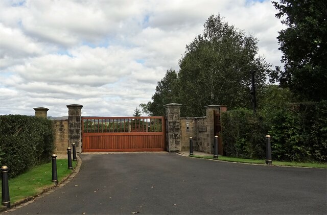
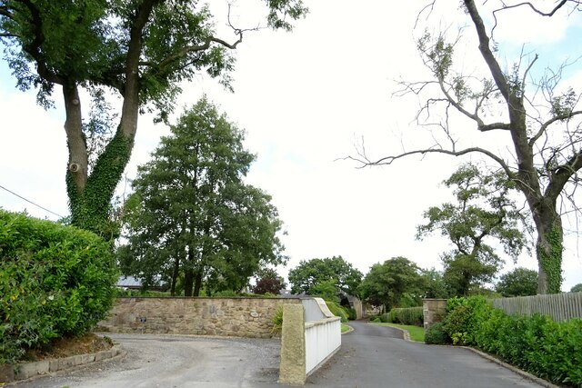
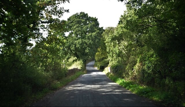
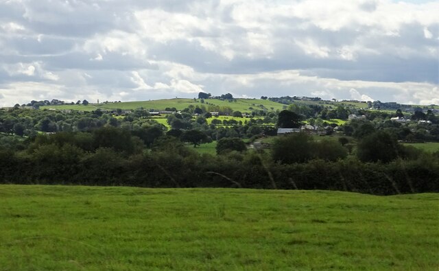
Dinckley Images
Images are sourced within 2km of 53.820237/-2.471576 or Grid Reference SD6936. Thanks to Geograph Open Source API. All images are credited.


Dinckley is located at Grid Ref: SD6936 (Lat: 53.820237, Lng: -2.471576)
Administrative County: Lancashire
District: Ribble Valley
Police Authority: Lancashire
What 3 Words
///chess.bikers.sandbags. Near Langho, Lancashire
Nearby Locations
Related Wikis

Dinckley
Dinckley is a small village and civil parish located in the Ribble Valley, in Lancashire, England. Owing to the limited extent of the population details...

Old St Leonard's Church, Langho
Old St Leonard's Church is a redundant Anglican church 1 mile (1.6 km) northwest of the village of Langho, Lancashire, England. It is recorded in the...

Dinckley Brook
Dinckley Brook is a minor river of Lancashire, England. The stream rises at the confluence of several minor watercourses at Wheatley Farm close to Copster...

Brockhall Village
Brockhall Village is a gated community in the Ribble Valley, Lancashire, England. The village is in the civil parish of Billington and Langho and is 7...
Related Videos

Tolkien Trail Circular Hike | Lancashire Walk
Today, me and my family explore the Tolkien Trail in Lancashire. People come from all over the world to walk the famous Tolkien ...

Walk 2 - Walking StonyHurst College via Dean Brook in Clitheroe - Footsteps of Tolkien all in 4K
This walk starts in the village of Hurst Green where you enter the first field via the road named "Smithy Row" with you entering the ...

The Tolkien Trail Hike | Forest of Bowland
Joined by my friend Vicki, we drove from Preston for about 30 minutes to the village of Hurst Green, near Clitheroe. Here there is a ...

HIKING in the Forest of Bowland - LANCASHIRE WALKS!
A nice and muddy 6 mile walk through the countryside of the Forest of Bowland. Hurst Green & Hobbit Hill Circular.
Nearby Amenities
Located within 500m of 53.820237,-2.471576Have you been to Dinckley?
Leave your review of Dinckley below (or comments, questions and feedback).