Denver
Civil Parish in Norfolk King's Lynn and West Norfolk
England
Denver
Denver is a civil parish located in the county of Norfolk, England. Situated approximately 10 miles south-west of the city of Downham Market, Denver is a small village with a population of around 500 people. The parish covers an area of approximately 6 square miles.
Denver is historically known as a farming community, with agriculture playing a significant role in its economy. The fertile soils and favorable climate have made it an ideal location for crop cultivation, particularly for cereal production. The flat and open landscape of the area is characteristic of the surrounding Norfolk countryside.
One of the notable features of Denver is the Denver Mill, a windmill dating back to the 19th century. The mill is a well-preserved example of the traditional wind-powered machinery and serves as a popular tourist attraction, offering visitors the opportunity to learn about the milling process and enjoy panoramic views of the surrounding countryside.
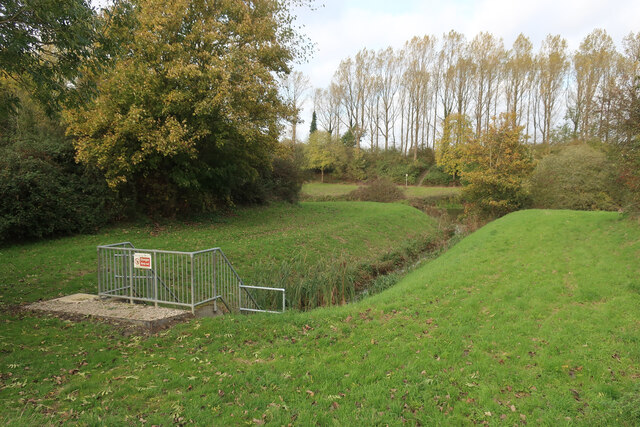
The village also benefits from its close proximity to the River Great Ouse, which runs alongside Denver. The river has historically been an important waterway for trade and transportation, and today it offers opportunities for recreational activities such as boating and fishing.
Denver is a quiet and picturesque village, attracting visitors seeking a peaceful retreat away from the hustle and bustle of larger towns and cities. The surrounding natural beauty, coupled with its rich agricultural heritage, makes Denver an appealing destination for those interested in rural life and history.
If you have any feedback on the listing, please let us know in the comments section below.
Denver Images
Images are sourced within 2km of 52.579789/0.350755 or Grid Reference TF5900. Thanks to Geograph Open Source API. All images are credited.


Denver is located at Grid Ref: TF5900 (Lat: 52.579789, Lng: 0.350755)
Administrative County: Norfolk
District: King's Lynn and West Norfolk
Police Authority: Norfolk
What 3 Words
///headsets.shift.trophy. Near Downham Market, Norfolk
Nearby Locations
Related Wikis

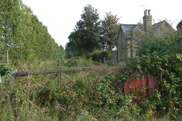
Denver railway station (England)
Denver railway station (originally opened as Denver Road Gate) was a station in Denver, Norfolk on the Great Eastern Railway route between King's Lynn...

Well Creek
Well Creek is a waterway in Norfolk, England that is a tributary to the River Great Ouse. Rising from the River Nene, the waterway in its current alignment...

Denver Windmill
Denver Windmill is a Grade II* listed tower mill at Denver, Norfolk, England. In March 2010, there were about 374,000 list entries of which 5.5% were Grade...

River Wissey
The River Wissey is a river in Norfolk, eastern England. It rises near Bradenham, and flows for nearly 31 miles (50 km) to join the River Great Ouse at...

Ouse Bridge railway station
Ouse Bridge railway station was a railway station in Norfolk, England. == History == The Lynn and Ely Railway (L&ER) had opened between King's Lynn and...

Denver, Norfolk
Denver is a village and civil parish in the English county of Norfolk. The village is situated on the River Great Ouse, approximately 1 mile (1.6 km) south...

Fordham, Norfolk
Fordham is a small village and civil parish in the English county of Norfolk. The village is located 2.2 miles (3.5 km) north of Downham Market and 39...
Ryston railway station
Ryston railway station was a railway station serving Fordham, Norfolk. It was on a branch line from Denver. == History == The Downham and Stoke Ferry Railway...
Related Videos

355 - A SEAL IN A FRESH WATER RIVER!? Last Narrowboat Cruise on The Great River Ouse
Today we cruise to The Ship Inn on the Great River Ouse, convoying with Roger, where we stay for a couple of nights. Then we ...

349 - 25 MILES OF TIDAL WATERS! In our Narrowboat! Salters Lode to Earith, New Bedford River
After spending the weekend at Salters Lode we decide to head up one of Britain's most boring Navigations, almost 20 miles in a ...
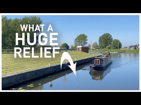
391 - What a Huge Relief!
After a couple of days trying to recover from The Wash crossing we are ready to start exploring again and so we set of along the ...
Day 002 || 16 Miles to Denver
We continue our journey towards Crick for the boat show traveling from Ely to Denver on the Great River Ouse. This video was ...
Nearby Amenities
Located within 500m of 52.579789,0.350755Have you been to Denver?
Leave your review of Denver below (or comments, questions and feedback).