Denton and Caldecote

Civil Parish in Huntingdonshire Huntingdonshire

England

Denton and Caldecote

Wheat field and Ringmoor Spinney
Wheat field and Ringmoor Spinney Credit: Jonathan Thacker

Denton and Caldecote is a civil parish located in the district of Huntingdonshire, in the county of Cambridgeshire, England. The parish is situated about 8 miles northwest of the town of Huntingdon, and covers an area of approximately 5 square miles.

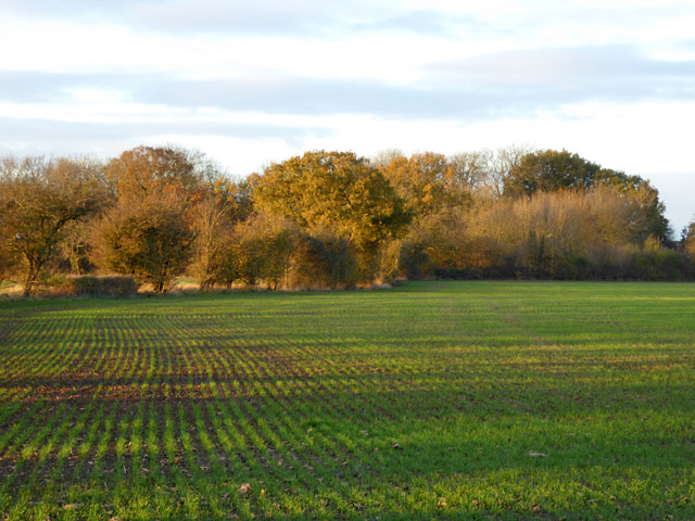
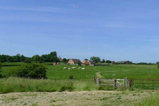
Denton and Caldecote is a rural area with a small population of around 250 residents. The parish is characterized by its picturesque countryside, with rolling hills and charming villages. The landscape is mainly agricultural, with farms and fields dominating the scenery.

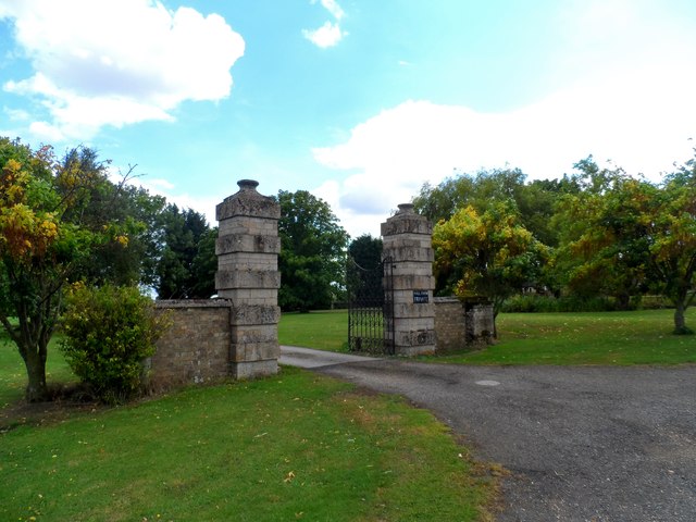
The village of Denton is the larger settlement within the civil parish, while Caldecote is a smaller hamlet located nearby. Both villages have a rich history, with evidence of settlement in the area dating back to the Roman period. The architecture in Denton and Caldecote reflects this history, with a mix of traditional thatched cottages and more modern houses.

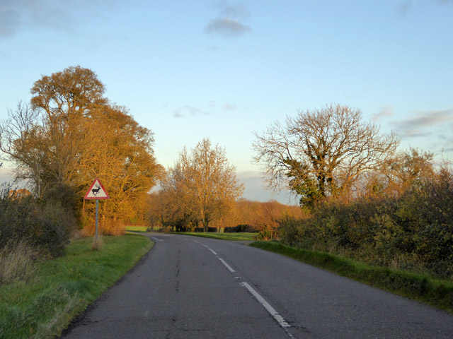
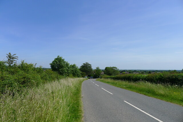
The parish is well-connected, with good road links to nearby towns and cities. The A141 road runs through the area, providing easy access to Huntingdon and the A1 motorway. There are also regular bus services, making it convenient for residents to travel to surrounding areas.

In terms of amenities, Denton and Caldecote have a few local businesses, including a village shop and a pub. The area is also known for its community spirit, with various social events and activities taking place throughout the year.

Overall, Denton and Caldecote offer a tranquil and idyllic living environment, combining rural charm with convenient access to nearby towns and cities.

If you have any feedback on the listing, please let us know in the comments section below.

Denton and Caldecote Images

Images are sourced within 2km of 52.476735/-0.318812 or Grid Reference TL1487. Thanks to Geograph Open Source API. All images are credited.

Wheat field and Ringmoor Spinney
Harvest time near to Lutton
Dead tree on a corner
Gates to Washingley Hall Farm A deserted medieval village and a mote and bailey castle are both marked on the map. Today, apart from this pair of gates, there isn't a lot happening here.
Gates to Washingley Hall Farm
A deserted medieval village and a mote and bailey castle are both marked on the map. Today, apart from this pair of gates, there isn't a lot happening here.
Beware of deer on Washingley Lane
A growing crop and a spinney Folksworth Spinney is across the field.
A growing crop and a spinney
Folksworth Spinney is across the field.
Washingley Lane at the end of Bullock Road
Bullock Road near Lutton
Field by High Haden Road, Glatton
Trees by High Haden Road, Glatton
Bullock Road at Moonshine Gap This location, 'Moonshine Gap', exists on 1880s maps, and seems to refer to the point where a track (the byway sign in this picture) led off Bullock Road. What does the name mean? Is it significant that this small section of Bullock Road is running along the Cambridgeshire-Northamptonshire boundary?
Bullock Road at Moonshine Gap
This location, 'Moonshine Gap', exists on 1880s maps, and seems to refer to the point where a track (the byway sign in this picture) led off Bullock Road. What does the name mean? Is it significant that this small section of Bullock Road is running along the Cambridgeshire-Northamptonshire boundary?
Redhill Road leading off Bullock Road Taking Cycle Route 12 to Caldecote
Redhill Road leading off Bullock Road
Taking Cycle Route 12 to Caldecote
Cycle Route 12 on Redhill Road
Kenny's Oak On Redhill Road, with a view down to Caldecote. The oak is marked on the OS 1887 map. But who was Kenny? An article in the Waterbeach Community Association's 'Beach News' of September 2012 suggests that the oak was "... reputed to have been used as a gallows by a young boy when he committed suicide." <span class="nowrap"><a title="http://www.waterbeach.org/Beach%20News/Publications/2012%20Spring.pdf" rel="nofollow ugc noopener" href="http://www.waterbeach.org/Beach%20News/Publications/2012%20Spring.pdf">Link</a><img style="margin-left:2px;" alt="External link" title="External link - shift click to open in new window" src="https://s1.geograph.org.uk/img/external.png" width="10" height="10"/></span>
Kenny's Oak
On Redhill Road, with a view down to Caldecote. The oak is marked on the OS 1887 map. But who was Kenny? An article in the Waterbeach Community Association's 'Beach News' of September 2012 suggests that the oak was "... reputed to have been used as a gallows by a young boy when he committed suicide." LinkExternal link
Entering Caldecote Caldecote: "a place name found in various counties, meaning ‘cold cottage(s)’, with reference to poor construction, exposed situation, or clay soil ..." [A Dictionary of British Place Names]. I don't know why clay soil would make somewhere cold, but this area's geology is dominated by the Oxford Clay mudstones.
Entering Caldecote
Caldecote: "a place name found in various counties, meaning ‘cold cottage(s)’, with reference to poor construction, exposed situation, or clay soil ..." [A Dictionary of British Place Names]. I don't know why clay soil would make somewhere cold, but this area's geology is dominated by the Oxford Clay mudstones.
Caldecote; area of deserted village Looking towards the former Church of St Mary Magdalene (bellcote on horizon); now a private house.
Caldecote; area of deserted village
Looking towards the former Church of St Mary Magdalene (bellcote on horizon); now a private house.
Partially mown verge, Caldecote Road It is estimated that roadside verges account for about 1,000 square miles of land in the UK, and that less frequent mowing would bring a range of environmental benefits [The Guardian, 26 May 2021]. The section on the left has been mown to improve visibility from the junction of Washingley Road just behind the camera.
Partially mown verge, Caldecote Road
It is estimated that roadside verges account for about 1,000 square miles of land in the UK, and that less frequent mowing would bring a range of environmental benefits [The Guardian, 26 May 2021]. The section on the left has been mown to improve visibility from the junction of Washingley Road just behind the camera.
Cycle Route 12 on Caldecote Road entering Stilton
Show me another place!

Denton and Caldecote is located at Grid Ref: TL1487 (Lat: 52.476735, Lng: -0.318812)

Administrative County: Cambridgeshire

District: Huntingdonshire

Police Authority: Cambridgeshire

What 3 Words

///adhesive.during.rots. Near Stilton, Cambridgeshire

Related Wikis

Denton and Caldecote

Denton and Caldecote – in Huntingdonshire (now part of Cambridgeshire), England – is a civil parish near Glatton south west of Yaxley. The parish was formed...

Caldecote, Huntingdonshire

Caldecote is a village and former civil parish, now in the parish of Denton and Caldecote, in Cambridgeshire, England. Caldecote lies approximately 7 miles...

Denton, Cambridgeshire

Denton is a hamlet and former civil parish, now in the parish of Denton and Caldecote, in Cambridgeshire, England. Denton lies approximately 11 miles...

Folksworth

Folksworth is a village and former civil parish, now in the parish of Folksworth and Washingley, in Cambridgeshire, England. Folksworth lies approximately...

Washingley

Washingley is a hamlet and former civil parish, now in the parish of Folksworth and Washingley, in Cambridgeshire, England. Washingley lies approximately...

Folksworth and Washingley

Folksworth and Washingley is a civil parish near Peterborough in Cambridgeshire, England, comprising the villages of Folksworth and Washingley.The parish...

Glatton

Glatton is a village and civil parish in Cambridgeshire, England, some 8 miles (13 km) south-west of Peterborough, near the villages of Conington, Yaxley...

Stilton

Stilton is a village and civil parish in Cambridgeshire, England, about 12 miles (19 km) north of Huntingdon in Huntingdonshire, which is a non-metropolitan...

Nearby Amenities

Located within 500m of 52.476735,-0.318812
Caldecote
Place: hamlet
Wikidata: Q931924
Lat/Long: 52.4802576/-0.315362
Power: pole
Lat/Long: 52.4810137/-0.3209653
Power: pole
Lat/Long: 52.4804951/-0.3200225
Power: pole
Lat/Long: 52.4777653/-0.3148191
Power: pole
Lat/Long: 52.4798351/-0.3189899
Power: pole
Lat/Long: 52.4771936/-0.3139123
Power: pole
Lat/Long: 52.476656/-0.3125015
Power: pole
Lat/Long: 52.478739/-0.3169031
Power: pole
Lat/Long: 52.4791816/-0.3179653
Power: pole
Lat/Long: 52.4794968/-0.3139792
Power: pole
Lat/Long: 52.4786636/-0.3128313
Power: pole
Lat/Long: 52.4782912/-0.3122197
Power: pole
Lat/Long: 52.4791178/-0.3134428
The data included in this document is from www.openstreetmap.org. The data is made available under ODbL.

Have you been to Denton and Caldecote?

Leave your review of Denton and Caldecote below (or comments, questions and feedback).