Denaby

Civil Parish in Yorkshire Doncaster

England

Denaby

Bank Coffee House, Swinton Formerly a Yorkshire Bank (?) branch. The Bank Coffee House closed down in August 2022 - it got good reviews. Fully licensed Coffee House opened September 2014, refurbished under new ownership 2 years ago. Just one of many that are going the same way.
Bank Coffee House, Swinton Credit: Chris Morgan

Denaby, a civil parish in Yorkshire, is situated in the Metropolitan Borough of Doncaster, England. It is a small village located approximately 6 miles southwest of Doncaster town center. With a population of around 4,000 residents, Denaby is known for its rich history and close-knit community.

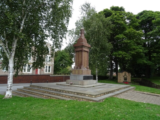
The village developed in the late 19th century, driven by the coal mining industry. Denaby Main Colliery was established in 1864 and played a significant role in the local economy until its closure in 1985. Its legacy can still be seen in the form of mining memorials and the preserved headgear, which serves as a reminder of Denaby's industrial past.

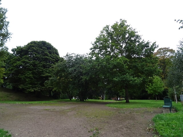
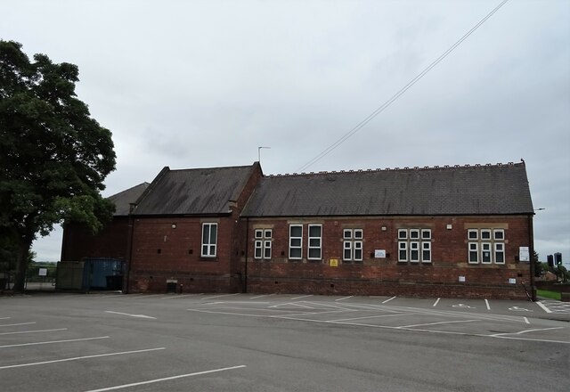
Today, Denaby has transformed into a residential area, offering a range of amenities to its residents. The village features several shops, including convenience stores and local businesses, along with a primary school, a community center, and a library. Additionally, Denaby offers recreational facilities such as parks, sports fields, and a leisure center, providing opportunities for fitness and leisure activities.

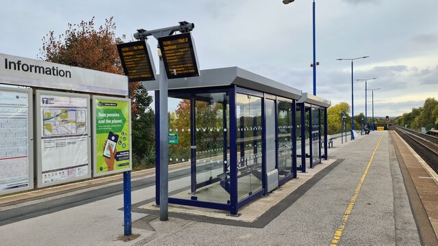
Denaby is well-connected to neighboring areas through road and rail networks. The village benefits from its proximity to the A630 and A6023, providing easy access to Doncaster and other nearby towns. Public transportation options include regular bus services, connecting Denaby to Doncaster and surrounding villages.

Overall, Denaby is a close-knit community with a rich history rooted in the coal mining industry. Despite the closure of the colliery, the village continues to flourish as a residential area, offering a range of amenities and a strong sense of community spirit.

If you have any feedback on the listing, please let us know in the comments section below.
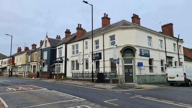
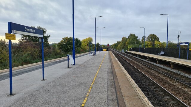
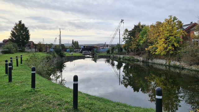
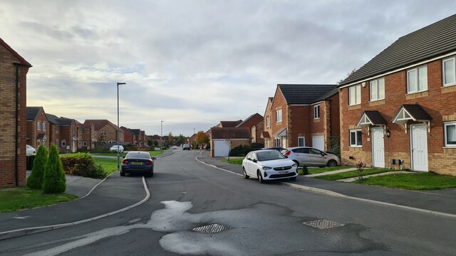
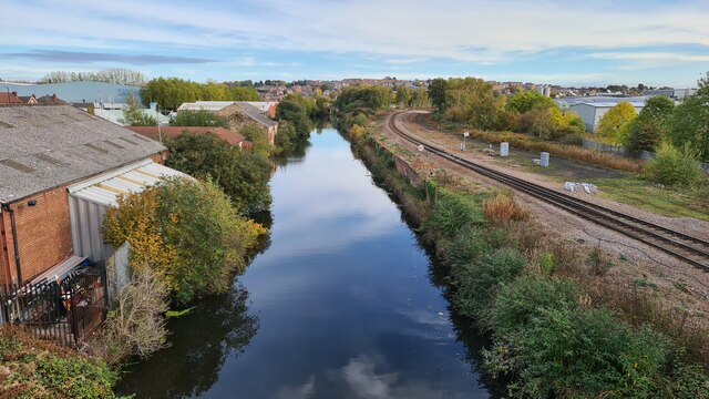
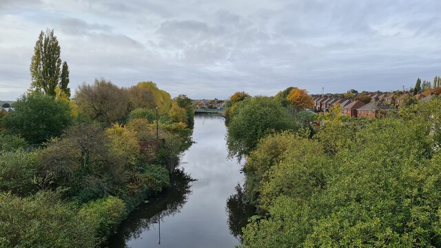
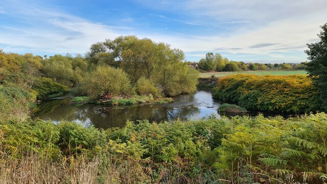
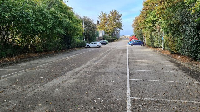
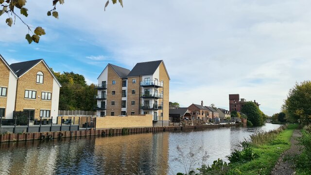
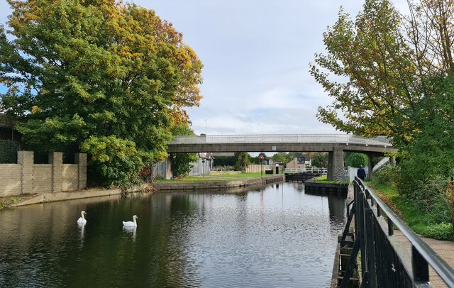
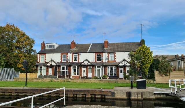
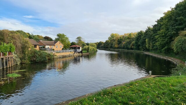
Denaby Images

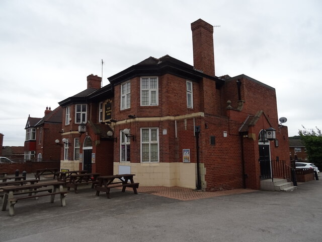
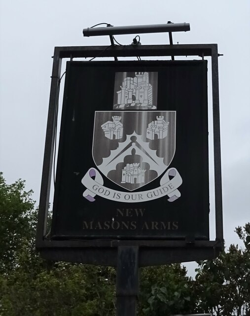
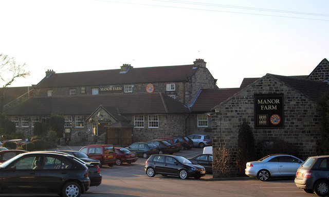
Images are sourced within 2km of 53.485083/-1.282351 or Grid Reference SK4798. Thanks to Geograph Open Source API. All images are credited.

Bank Coffee House, Swinton Formerly a Yorkshire Bank (?) branch. The Bank Coffee House closed down in August 2022 - it got good reviews. Fully licensed Coffee House opened September 2014, refurbished under new ownership 2 years ago. Just one of many that are going the same way.
Bank Coffee House, Swinton
Formerly a Yorkshire Bank (?) branch. The Bank Coffee House closed down in August 2022 - it got good reviews. Fully licensed Coffee House opened September 2014, refurbished under new ownership 2 years ago. Just one of many that are going the same way.
Swinton station Three platforms on the 1990 station after rail services restored following closure of the previous station in 1968.
Swinton station
Three platforms on the 1990 station after rail services restored following closure of the previous station in 1968.
Swinton Locks
Swinton Locks
Sanderson Way, Swinton
River Don Navigation at Swinton Looking towards Mexborough
River Don Navigation at Swinton
Looking towards Mexborough
River Don Navigation at Swinton Looking south towards Rotherham, no longer an industrial waste land as nature reclaims its own.
River Don Navigation at Swinton
Looking south towards Rotherham, no longer an industrial waste land as nature reclaims its own.
Island in the River Don
Mexborough station car park Every picture tells a story.

1990s investment in the Don Valley as the run down of coal mining came to an end. 

Restoration of rail links that had been savagely cut in the 1960s brought a large park and ride car park. 

More recent cut backs in services through the Don Valley due to Covid have ensured there's plenty of free parking space today.
Mexborough station car park
Every picture tells a story. 1990s investment in the Don Valley as the run down of coal mining came to an end. Restoration of rail links that had been savagely cut in the 1960s brought a large park and ride car park. More recent cut backs in services through the Don Valley due to Covid have ensured there's plenty of free parking space today.
River Don Navigation, Mexborough
Don Valley Navigation At Mexborough Top Lock
Don Valley Navigation
At Mexborough Top Lock
Cottages by Mexborough Top Lock
Sheffield and South Yorkshire Navigation At Old Denaby
Sheffield and South Yorkshire Navigation
At Old Denaby
Swinton station New shelters on 1990 station
Swinton station
New shelters on 1990 station
Castle Hills Park
Castle Hills Park
War Memorial, Castle Hills Park
New Pastures Primary School
The New Masons Arms
The New Masons Arms
Sign for the New Masons Arms
Show me another place!

Denaby is located at Grid Ref: SK4798 (Lat: 53.485083, Lng: -1.282351)

Division: West Riding

Administrative County: South Yorkshire

District: Doncaster

Police Authority: South Yorkshire

What 3 Words

///waddled.captions.puzzled. Near Mexborough, South Yorkshire

Related Wikis

Denaby

Denaby is a civil parish in the Metropolitan Borough of Doncaster in South Yorkshire, England. It had a population in 2001 of 326, increasing slightly...

Mexborough (Ferry Boat) Halt railway station

Mexborough (Ferry Boat) Halt was a small railway station on the South Yorkshire Railway's line between Barnsley and Doncaster in South Yorkshire, England...

Mexborough railway station

Mexborough railway station serves the former mining town of Mexborough, South Yorkshire, England. It is a station on the Sheffield to Doncaster Line 7...

St John's Church, Mexborough

St John's Church is the parish church of Mexborough, a town between Rotherham and Doncaster in South Yorkshire, in England. The church was built in the...

Nearby Amenities

Located within 500m of 53.485083,-1.282351
Old Denaby
Place: village
Lat/Long: 53.4864294/-1.275451
Denaby Lane/Manor Farm
Naptan AtcoCode: 370046295
Naptan Bearing: N
Naptan BusStopType: CUS
Naptan CommonName: Denaby Lane/Manor Farm
Naptan Indicator: 46295
Naptan Landmark: MANOR FARM
Naptan PlusbusZoneRef: ROTHCEN
Naptan Street: Denaby Lane
Naptan Verified: no
Source: naptan_import
Lat/Long: 53.4845893/-1.2789966
Denaby Lane/Manor Farm
Naptan AtcoCode: 370046296
Naptan Bearing: S
Naptan BusStopType: CUS
Naptan CommonName: Denaby Lane/Manor Farm
Naptan Indicator: 46296
Naptan Landmark: MANOR FARM
Naptan PlusbusZoneRef: ROTHCEN
Naptan Street: Denaby Lane
Naptan Verified: no
Source: naptan_import
Lat/Long: 53.4845884/-1.2788459
Power: pole
Lat/Long: 53.4816271/-1.2824251
Power: pole
Lat/Long: 53.4830838/-1.2824943
Power: pole
Lat/Long: 53.4843505/-1.2825545
Power: pole
Lat/Long: 53.4857707/-1.2826588
Power: pole
Lat/Long: 53.4865374/-1.2809307
Power: pole
Lat/Long: 53.4873309/-1.279237
Power: pole
Lat/Long: 53.4881411/-1.277547
Bench
Backrest: yes
Lat/Long: 53.4867195/-1.2754282
The data included in this document is from www.openstreetmap.org. The data is made available under ODbL.

Have you been to Denaby?

Leave your review of Denaby below (or comments, questions and feedback).