Deeping St James

Civil Parish in Lincolnshire South Kesteven

England

Deeping St James

The Priory Church of Deeping St James Larger than your average Parish Church because it was a priory until the reformation. Norman arches, a graveside shelter and 12th C font to be found inside.
The Priory Church of Deeping St James Credit: Chris Stafford

Deeping St James is a civil parish located in the county of Lincolnshire, England. It is situated on the banks of the River Welland, approximately 8 miles north of the city of Peterborough. With a population of around 6,000 people, it is a relatively small but vibrant community.

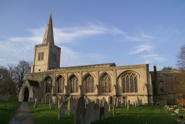
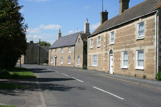
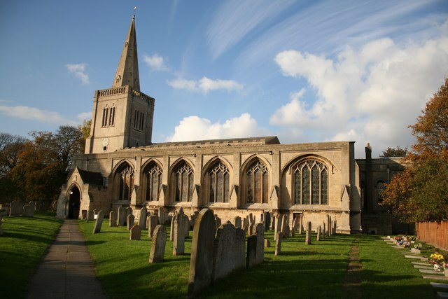
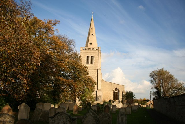
The village has a rich history, with evidence of human settlement dating back to the Iron Age. The parish church, dedicated to St James, is a prominent feature and dates back to the 14th century. It is known for its impressive architecture and stained glass windows.

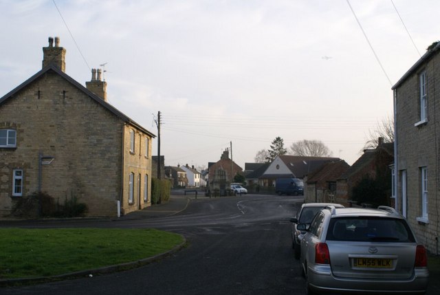
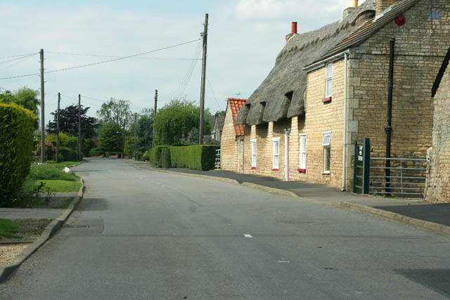
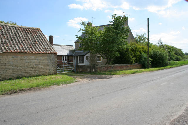
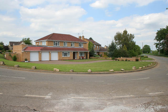
Deeping St James is well-served by amenities and services, including several shops, pubs, and restaurants. There is also a primary school, a medical center, and a library, providing essential facilities for the local residents.

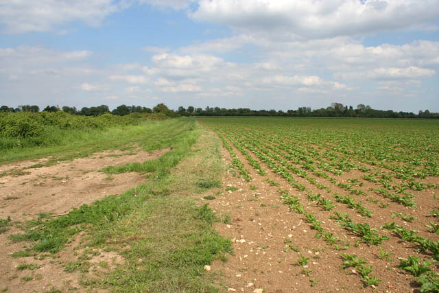
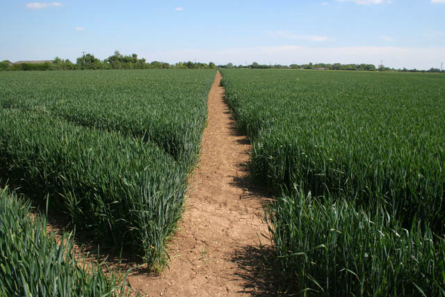
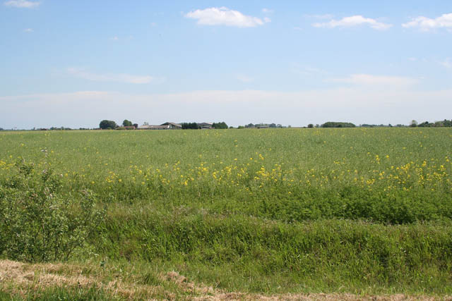
The local economy is diverse, with a mix of agriculture, small businesses, and services. The village benefits from its proximity to Peterborough, which provides employment opportunities for many residents.

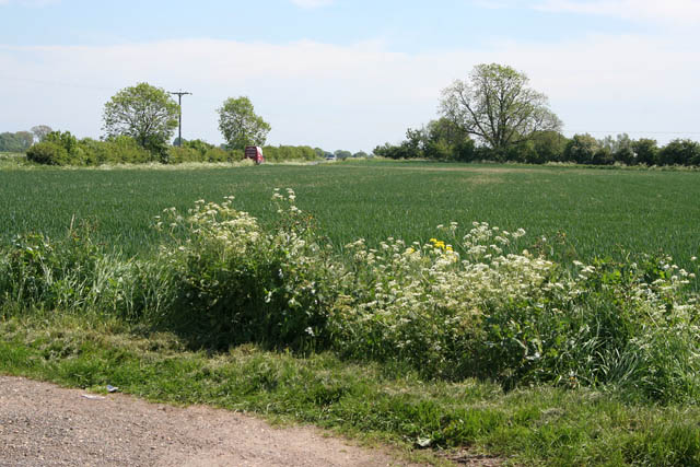
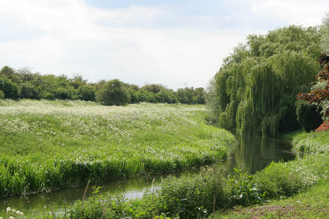
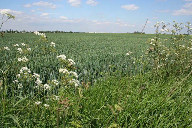
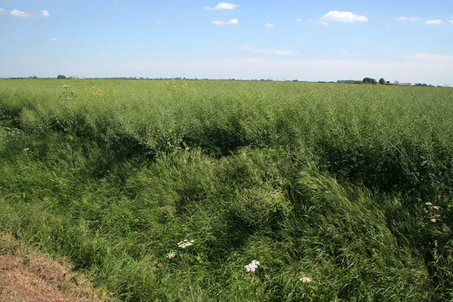
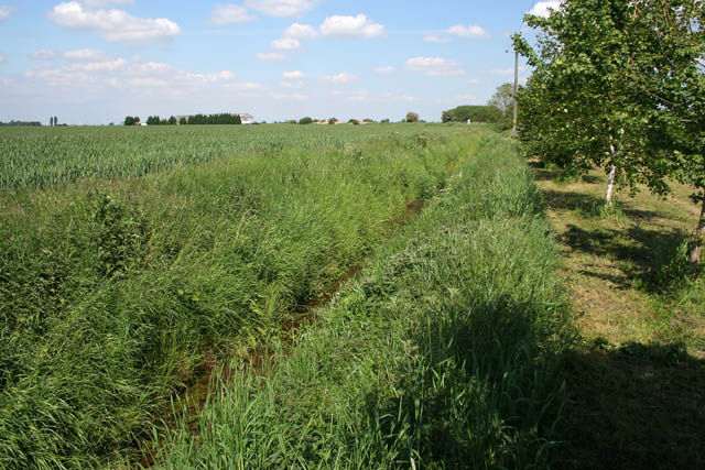
The area is also known for its natural beauty, with the River Welland offering picturesque views and opportunities for boating and fishing. The nearby Deeping Lakes Nature Reserve is a haven for wildlife enthusiasts, with a variety of bird species and walking trails.

Overall, Deeping St James is a charming and historic village with a strong sense of community. It offers a peaceful and picturesque setting, combined with easy access to larger towns and cities for those seeking a balance between rural and urban living.

If you have any feedback on the listing, please let us know in the comments section below.

Deeping St James Images

Images are sourced within 2km of 52.674759/-0.265587 or Grid Reference TF1709. Thanks to Geograph Open Source API. All images are credited.

The Priory Church of Deeping St James Larger than your average Parish Church because it was a priory until the reformation. Norman arches, a graveside shelter and 12th C font to be found inside.
The Priory Church of Deeping St James
Larger than your average Parish Church because it was a priory until the reformation. Norman arches, a graveside shelter and 12th C font to be found inside.
Deeping St James village In the middle of the road area stands the old lock up. Notice the faint outline of an AWAC plane in the sky.
Deeping St James village
In the middle of the road area stands the old lock up. Notice the faint outline of an AWAC plane in the sky.
North Fen Looking towards Peakirk Road from Rippon's Drove.
North Fen
Looking towards Peakirk Road from Rippon's Drove.
Cottages on Eastgate, Deeping St James The main street through Deeping St James follows the contours of the River Welland. The houses on the right are mainly post war and back onto the river. When these stone cottages were built they would have had a clear view of the water.
Cottages on Eastgate, Deeping St James
The main street through Deeping St James follows the contours of the River Welland. The houses on the right are mainly post war and back onto the river. When these stone cottages were built they would have had a clear view of the water.
Giddeon's Drove One of many tracks that go nowhere in particular. The trees on the horizon follow the River Welland in Deeping St James.
Giddeon's Drove
One of many tracks that go nowhere in particular. The trees on the horizon follow the River Welland in Deeping St James.
Cottage on Station Road This cottage is halfway between Deeping St James and the Lakeside Caravan Park. It looks idyllic but there is a sewage treatment works directly opposite.
Cottage on Station Road
This cottage is halfway between Deeping St James and the Lakeside Caravan Park. It looks idyllic but there is a sewage treatment works directly opposite.
House on a bend This is the last house as you leave Deeping St James. Station Road to the right and Eastgate to the left. The bend is really sharp, almost a hairpin bend.
House on a bend
This is the last house as you leave Deeping St James. Station Road to the right and Eastgate to the left. The bend is really sharp, almost a hairpin bend.
River Welland The gardens on the southwest side of the main street through Deeping St James go right down to the river. The Welland isquite narrow at this point. In <a href="https://www.geograph.org.uk/gridref/TF1707">TF1707</a> the Maxey Cut, the Fally River Drain and the South Drain flow into the river making it much wider.
River Welland
The gardens on the southwest side of the main street through Deeping St James go right down to the river. The Welland isquite narrow at this point. In TF1707 the Maxey Cut, the Fally River Drain and the South Drain flow into the river making it much wider.
Eastgate, Deeping St James Deeping St. James is a village lying next to Market Deeping, along the banks of the River Welland. The village grew up around a Benedictine Priory and stones from the ruined Priory were used in several 17th century buildings. These cottages look younger than that, probably early 19th Century. They show some fine detailing in the stonework. Originally they would have faced the river but 20th century development has taken place between the road and the Welland.
Eastgate, Deeping St James
Deeping St. James is a village lying next to Market Deeping, along the banks of the River Welland. The village grew up around a Benedictine Priory and stones from the ruined Priory were used in several 17th century buildings. These cottages look younger than that, probably early 19th Century. They show some fine detailing in the stonework. Originally they would have faced the river but 20th century development has taken place between the road and the Welland.
Prior's Meadow, Deeping St James Off Stowgate Road, this large field must have originally attached to the Benedictine Priory. The Priory was founded at Deeping St James in 1139 by Baldwin Fitzgilbert, a junior member of the Clare family, much favoured by King Henry I.
See <span class="nowrap"><a title="http://www.users.zetnet.co.uk/mwarrick/history/index.htm" rel="nofollow ugc noopener" href="http://www.users.zetnet.co.uk/mwarrick/history/index.htm">Link</a><img style="margin-left:2px;" alt="External link" title="External link - shift click to open in new window" src="https://s1.geograph.org.uk/img/external.png" width="10" height="10"/></span> for information about the Priory and church.
Prior's Meadow, Deeping St James
Off Stowgate Road, this large field must have originally attached to the Benedictine Priory. The Priory was founded at Deeping St James in 1139 by Baldwin Fitzgilbert, a junior member of the Clare family, much favoured by King Henry I. See LinkExternal link for information about the Priory and church.
Public footpath off Stowgate Road Well maintained footpaths on this farmland next to Priors Meadow Riding School.
Public footpath off Stowgate Road
Well maintained footpaths on this farmland next to Priors Meadow Riding School.
Farmland off Cranmore Drove The crop is oilseed rape: this field was a sea of yellow two weeks ago but now the all important seedpods are forming. The buildings in the distance are in <a href="https://www.geograph.org.uk/gridref/TF1809">TF1809</a>.
Farmland off Cranmore Drove
The crop is oilseed rape: this field was a sea of yellow two weeks ago but now the all important seedpods are forming. The buildings in the distance are in TF1809.
Cranmore Looking diagonally across the square.
Typical Fens landscape near Market Deeping: flat farmland with dykes and drains instead of hedges giving the impression of an endless field. The Peterborough to Spalding railway crosses the picture on the horizon, the track being on an embankment above the surrounding land which is about 3 metres above sea level.
Cranmore
Looking diagonally across the square. Typical Fens landscape near Market Deeping: flat farmland with dykes and drains instead of hedges giving the impression of an endless field. The Peterborough to Spalding railway crosses the picture on the horizon, the track being on an embankment above the surrounding land which is about 3 metres above sea level.
Farmland off Station Road Between Deeping Common and Cranmore. The Peterborough to Spalding railway runs just in front of the trees far centre left and the farm towards the left is Cranmore Farm.
Farmland off Station Road
Between Deeping Common and Cranmore. The Peterborough to Spalding railway runs just in front of the trees far centre left and the farm towards the left is Cranmore Farm.
Local business on Station Road This is the home of Anne Kennedy Pet Supplies, developers of wild bird seed mixes. It is also a dog boarding kennels.
Local business on Station Road
This is the home of Anne Kennedy Pet Supplies, developers of wild bird seed mixes. It is also a dog boarding kennels.
Whichcote Road, near Deeping St James Leading to Cranmore Lodge this is a farm road with permissive access.
Whichcote Road, near Deeping St James
Leading to Cranmore Lodge this is a farm road with permissive access.
Priory church of Deeping St.James Originally founded in 1139 as part of a Benedictine Priory
Priory church of Deeping St.James
Originally founded in 1139 as part of a Benedictine Priory
Priory church of Deeping St.James West tower of the Priory church, though it looks medieval, it's actually c1730
Priory church of Deeping St.James
West tower of the Priory church, though it looks medieval, it's actually c1730
Show me another place!

Deeping St James is located at Grid Ref: TF1709 (Lat: 52.674759, Lng: -0.265587)

Administrative County: Lincolnshire

District: South Kesteven

Police Authority: Lincolnshire

What 3 Words

///intersect.landings.short. Near Northborough, Cambridgeshire

Related Wikis

Frognall

Frognall is a small village in the South Kesteven district of Lincolnshire, England. It is situated just north-east of Deeping St James , to which it is...

St James Deeping railway station

St James Deeping is a former railway station which served the village of Deeping St James and town of Market Deeping in Lincolnshire, England. It was on...

Deeping St James Priory

Deeping St James Priory was a priory in Deeping St James, Lincolnshire, England. It was a dependency of Thorney Abbey. == History == In 1139 Baldwin Fitz...

Stowgate

Stowgate is a small settlement in the South Kesteven district of Lincolnshire, England. It is situated approximately 2 miles (3 km) north-east from Deeping...

Nearby Amenities

Located within 500m of 52.674759,-0.265587
Fairways
Place: isolated_dwelling
Lat/Long: 52.6733945/-0.2616493
The data included in this document is from www.openstreetmap.org. The data is made available under ODbL.

Have you been to Deeping St James?

Leave your review of Deeping St James below (or comments, questions and feedback).