Darley Dale
Civil Parish in Derbyshire Derbyshire Dales
England
Darley Dale

Darley Dale is a civil parish located in the county of Derbyshire, England. It is situated in the picturesque Peak District National Park, just north of the town of Matlock. With a population of around 6,000 residents, it is a small but vibrant community.
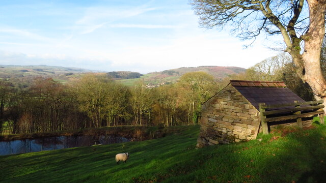
The parish is known for its natural beauty, with rolling hills, lush green valleys, and charming villages. The landscape is a mix of open moorland, woodlands, and meadows, providing ample opportunities for outdoor activities such as hiking, cycling, and horse riding. One of the notable landmarks in Darley Dale is the imposing Stanton Moor, which offers stunning panoramic views of the surrounding countryside.
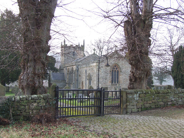
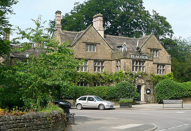
The village itself has a rich history dating back to the medieval period. It features a number of historic buildings, including the 17th-century Whitworth Institute and the old church of St. Helen's, which dates back to the 12th century. The village also has a variety of amenities, including shops, pubs, and restaurants, catering to both residents and visitors.
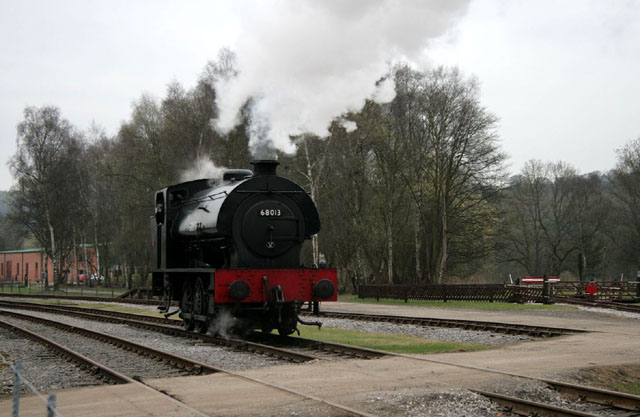
Darley Dale is well-connected to neighboring towns and cities. It has good transport links, with regular bus services to Matlock, Bakewell, and Chesterfield. The nearby Matlock train station provides further connections to major cities such as Derby and Sheffield.
Overall, Darley Dale offers a tranquil and picturesque setting, making it an attractive place to live or visit for those seeking a rural escape in the heart of Derbyshire.
If you have any feedback on the listing, please let us know in the comments section below.
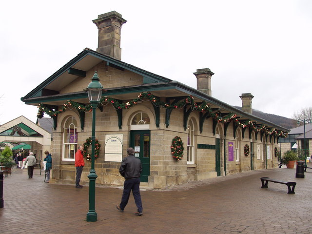
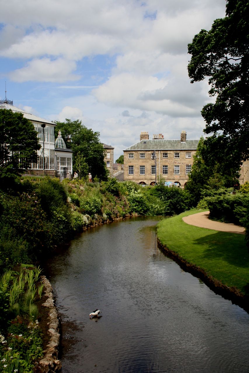
Darley Dale Images
Images are sourced within 2km of 53.191641/-1.581398 or Grid Reference SK2866. Thanks to Geograph Open Source API. All images are credited.


Darley Dale is located at Grid Ref: SK2866 (Lat: 53.191641, Lng: -1.581398)
Administrative County: Derbyshire
District: Derbyshire Dales
Police Authority: Derbyshire
What 3 Words
///skips.grad.approach. Near Matlock, Derbyshire
Nearby Locations
Related Wikis
Northwood and Tinkersley
Northwood and Tinkersley is a civil parish within the Derbyshire Dales district, in the county of Derbyshire, England. Named for its main settlements,...
Beeley
Beeley is a village and civil parish in northern Derbyshire, England. Located near Bakewell in the Derbyshire Dales, it is situated on the B6012 road,...
Rowsley
Rowsley () is a village on the A6 road in the English county of Derbyshire. The population as at the 2011 census was 507.It is at the point where the River...
Rowsley railway station
The original Rowsley railway station was opened in 1849 by the Manchester, Buxton, Matlock and Midlands Junction Railway to serve the village of Rowsley...
River Wye, Derbyshire
The River Wye is a limestone river in the Peak District of Derbyshire, England. It is 22 miles long (widely but incorrectly attributed as 15 miles/24...

Derbyshire
Derbyshire ( DAR-bee-sheer, -shər) is a ceremonial county in the East Midlands of England. It borders Greater Manchester, West Yorkshire, and South Yorkshire...

Beeley Moor
Beeley Moor is a small gritstone upland area in the Derbyshire Peak District of central and northern England, near the villages of Beeley and Baslow. Its...

Stancliffe Hall
Stancliffe Hall is a grade II Listed building on Whitworth Road in the settlement of Darley Dale, near Matlock, Derbyshire. == Early history == In 1817...
Nearby Amenities
Located within 500m of 53.191641,-1.581398Have you been to Darley Dale?
Leave your review of Darley Dale below (or comments, questions and feedback).