Cumwhitton

Civil Parish in Cumberland Carlisle

England

Cumwhitton

Cairn Beck, downstream of Carlatton Mill The stream is very close to the road at this point.
The view may be compared with one taken in the autumn, from the same spot <a href="https://www.geograph.org.uk/photo/4235221">NY5251 : Cairn Beck at Hallfield</a> .
Cairn Beck, downstream of Carlatton Mill Credit: Rose and Trev Clough

Cumwhitton is a civil parish located in the district of Carlisle, in the county of Cumberland, England. Nestled in the picturesque countryside of North West England, Cumwhitton covers an area of approximately 2.5 square miles. The parish is situated around 10 miles east of Carlisle and is surrounded by the stunning landscapes of the North Pennines Area of Outstanding Natural Beauty.

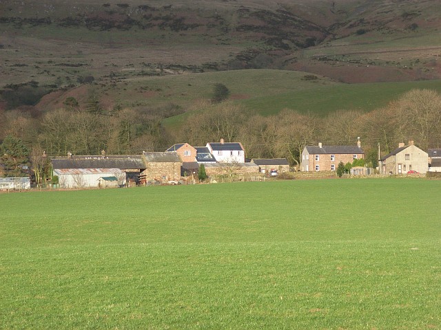
The small village of Cumwhitton is the main settlement within the civil parish. It is home to a close-knit community of around 200 residents. The village features a charming mix of traditional stone-built houses, some of which date back several centuries. The local economy is primarily based on agriculture and small-scale businesses.

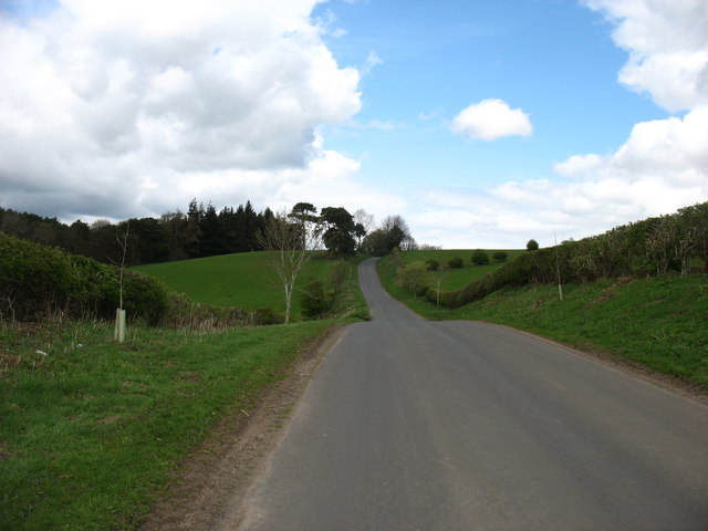
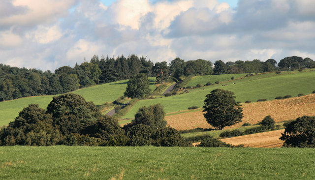
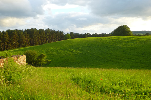
Cumwhitton is known for its tranquil and idyllic setting, with rolling hills, green meadows, and wooded areas defining the landscape. The parish offers a range of outdoor activities such as hiking, cycling, and fishing, making it popular among nature enthusiasts and visitors seeking a peaceful retreat.

The village is served by a primary school, providing education to local children. Additionally, Cumwhitton has a community hall that hosts various social events and activities throughout the year, fostering a strong sense of community spirit.

Overall, Cumwhitton, Cumberland, is a rural haven that embraces the beauty of its surroundings and offers a peaceful and tight-knit community for its residents.

If you have any feedback on the listing, please let us know in the comments section below.
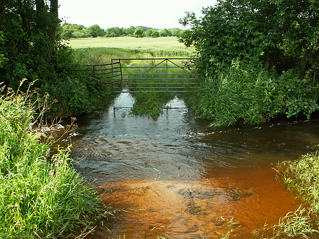
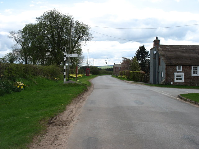
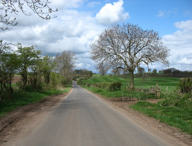
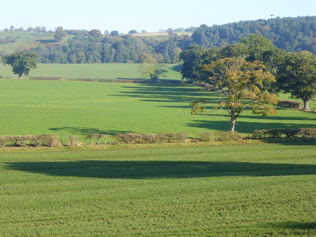
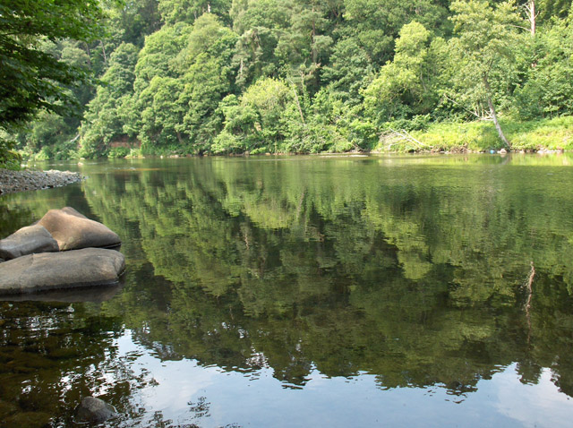
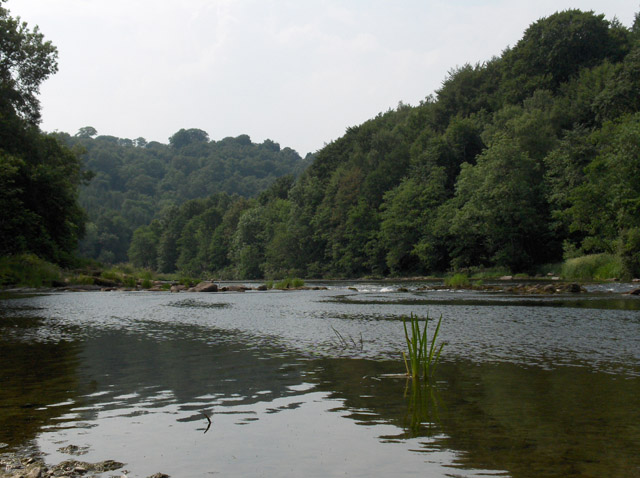
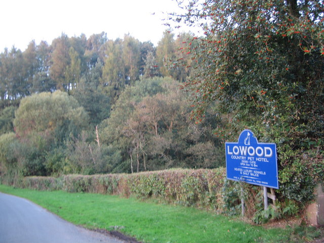
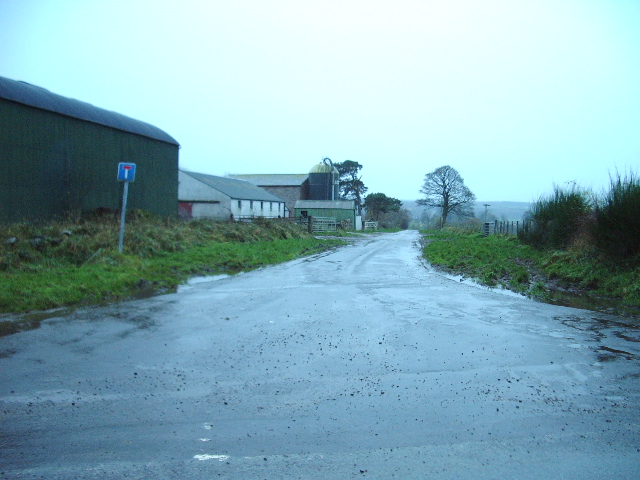
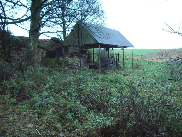
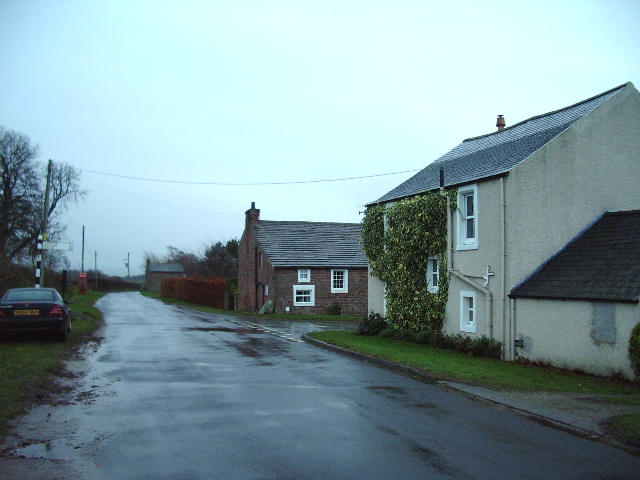
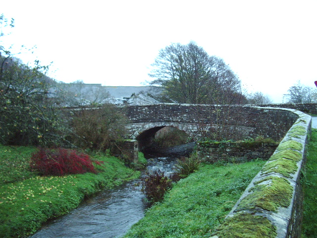
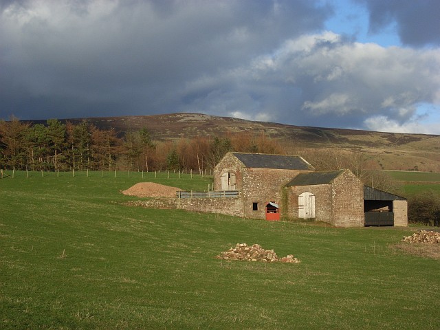
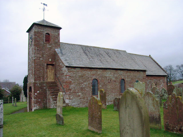
Cumwhitton Images

Images are sourced within 2km of 54.846198/-2.748693 or Grid Reference NY5250. Thanks to Geograph Open Source API. All images are credited.

Cairn Beck, downstream of Carlatton Mill The stream is very close to the road at this point.
The view may be compared with one taken in the autumn, from the same spot <a href="https://www.geograph.org.uk/photo/4235221">NY5251 : Cairn Beck at Hallfield</a> .
Cairn Beck, downstream of Carlatton Mill
The stream is very close to the road at this point. The view may be compared with one taken in the autumn, from the same spot NY5251 : Cairn Beck at Hallfield .
Road junction at Hornsby Gate The road ahead goes to Armathwaite, and that to the right to Carlisle (by a rather convoluted route). This is a T-junction, not a cross-roads.
Road junction at Hornsby Gate
The road ahead goes to Armathwaite, and that to the right to Carlisle (by a rather convoluted route). This is a T-junction, not a cross-roads.
The road to Castle Carrock
Low House Farm The floor of the Eden valley beyond.
Low House Farm
The floor of the Eden valley beyond.
Fields in the floor of the Eden valley
Heading for Far Hornsby Gate
Deep Gill Road from Armathwaite to Castle Carrock near Deep Gill.
Deep Gill
Road from Armathwaite to Castle Carrock near Deep Gill.
Lowhouse Farm in the Eden Valley Lowhouse Farm has a herd of pedigree Holstein dairy cattle and some are just visible in  the cattle sheds. The distant line of trees marks the course of the River Eden.
Lowhouse Farm in the Eden Valley
Lowhouse Farm has a herd of pedigree Holstein dairy cattle and some are just visible in the cattle sheds. The distant line of trees marks the course of the River Eden.
Mud Clasts These mud clasts are in a long sandstone cliff on the path along the Eden
Mud Clasts
These mud clasts are in a long sandstone cliff on the path along the Eden
Pasture and woodland, Cumwhitton Looking across the top of Deep Gill at Far Hornsby Gate.
Pasture and woodland, Cumwhitton
Looking across the top of Deep Gill at Far Hornsby Gate.
River Eden South of Hawkcliff Scar, where the river turns west.
River Eden
South of Hawkcliff Scar, where the river turns west.
River Eden Below Wallace Field.
River Eden
Below Wallace Field.
Lowood
Lowood
The Road to Moorthwaite
Old barn near Scarrowhill
Cross roads at Hornsby Gate The road on the right goes to Cumwhitton and road straight on, goes to Armathwaite
Cross roads at Hornsby Gate
The road on the right goes to Cumwhitton and road straight on, goes to Armathwaite
Stone Bridge Small stone bridge carrying the Hornsby Gate to Hayton road over Cairn Beck at Carlatton Mill.
Stone Bridge
Small stone bridge carrying the Hornsby Gate to Hayton road over Cairn Beck at Carlatton Mill.
Barn and copse, Saughtreegate Above Gillfoot Bridge. Cumrew Fell in the background.
Barn and copse, Saughtreegate
Above Gillfoot Bridge. Cumrew Fell in the background.
Show me another place!

Cumwhitton is located at Grid Ref: NY5250 (Lat: 54.846198, Lng: -2.748693)

Administrative County: Cumbria

District: Carlisle

Police Authority: Cumbria

What 3 Words

///propose.laminate.jogged. Near Wetheral, Cumbria

Nearby Locations

Hornsby Gate Cumwhitton

Related Wikis

Nearby Amenities

Located within 500m of 54.846198,-2.748693
Telephone
Booth: K6
Covered: booth
Lat/Long: 54.8452512/-2.7456926
Post Box
Post Box Type: wall
Postal Code: CA8
Ref: CA8 279
Lat/Long: 54.8456142/-2.7460967
Hornsby Road End
Local Ref: AT
Naptan AtcoCode: 090033141584
Naptan Bearing: W
Naptan BusStopType: CUS
Naptan CommonName: Hornsby Road End
Naptan Indicator: at
Naptan Landmark: junction with road to Hornsby
Naptan NaptanCode: cumaptat
Naptan Street: No name
Naptan Verified: no
Source: naptan_import
Lat/Long: 54.8454219/-2.7543564
Hornsby Gate
Naptan AtcoCode: 090033142328
Naptan Bearing: W
Naptan BusStopType: CUS
Naptan CommonName: Hornsby Gate
Naptan Indicator: o/s
Naptan Landmark: High Intack
Naptan NaptanCode: cumaptda
Naptan Street: No name
Naptan Verified: no
Source: naptan_import
Lat/Long: 54.8456/-2.7458878
Information: guidepost
Tourism: information
Lat/Long: 54.8456962/-2.7457106
Advertising: board
Lat/Long: 54.8456673/-2.7457072
Power: pole
Lat/Long: 54.8441746/-2.7547574
Power: pole
Lat/Long: 54.8442178/-2.7535932
Power: pole
Lat/Long: 54.8442638/-2.7516352
Power: pole
Lat/Long: 54.8442986/-2.7505171
Power: pole
Lat/Long: 54.844353/-2.7490383
Power: pole
Lat/Long: 54.8443906/-2.747436
Power: pole
Lat/Long: 54.844438/-2.7457854
Power: pole
Lat/Long: 54.844484/-2.7442388
Power: pole
Lat/Long: 54.8434248/-2.7440936
Power: pole
Lat/Long: 54.8453006/-2.7438153
The data included in this document is from www.openstreetmap.org. The data is made available under ODbL.

Have you been to Cumwhitton?

Leave your review of Cumwhitton below (or comments, questions and feedback).