Broadgreen Wood
Settlement in Hertfordshire East Hertfordshire
England
Broadgreen Wood
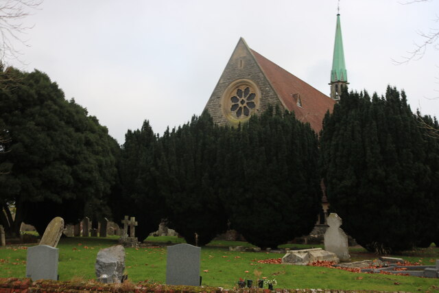
Broadgreen Wood is a scenic woodland located in Hertfordshire, England. Situated near the village of Essendon, it covers an area of approximately 50 acres and is a designated nature reserve. The wood is managed by the Herts and Middlesex Wildlife Trust, ensuring the preservation and protection of its diverse flora and fauna.
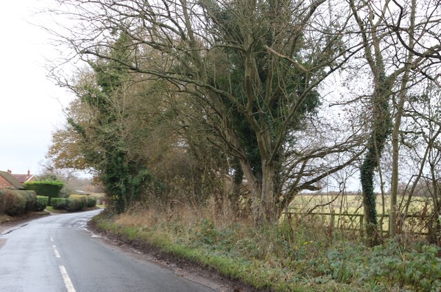
The wood is characterized by a mix of deciduous and coniferous trees, creating a rich and varied habitat. Species such as oak, beech, and birch dominate the landscape, providing a haven for numerous bird species, small mammals, and insects. Bluebells carpet the forest floor in spring, creating a breathtaking display of vibrant colors.
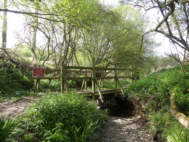
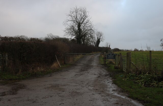
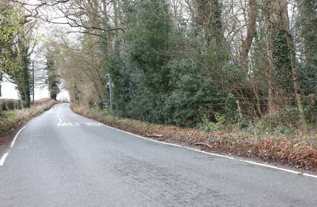
There are several well-maintained footpaths and trails throughout the wood, allowing visitors to explore its beauty and tranquility. These paths wind through the woodland, providing an opportunity for nature enthusiasts and walkers to immerse themselves in the peaceful surroundings. The wood also offers picnic areas and benches, enabling visitors to relax and enjoy a leisurely day out in nature.
Broadgreen Wood is not only a natural haven but also holds historical significance. It is believed to have been in existence since medieval times and was once part of the larger Broxbourne Woods. Today, it serves as an important ecological site, contributing to the conservation efforts in the region.
Overall, Broadgreen Wood in Hertfordshire is a cherished natural gem, offering a peaceful retreat for visitors to immerse themselves in the beauty of the woodland and connect with nature.
If you have any feedback on the listing, please let us know in the comments section below.
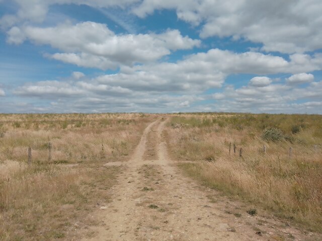
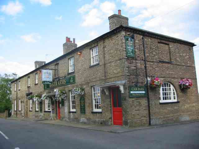
Broadgreen Wood Images
Images are sourced within 2km of 51.764364/-0.1031123 or Grid Reference TL3109. Thanks to Geograph Open Source API. All images are credited.


Broadgreen Wood is located at Grid Ref: TL3109 (Lat: 51.764364, Lng: -0.1031123)
Administrative County: Hertfordshire
District: East Hertfordshire
Police Authority: Hertfordshire
What 3 Words
///verbs.remit.taken. Near Hertford, Hertfordshire
Nearby Locations
Related Wikis

Bayford, Hertfordshire
Bayford is a village and civil parish in the East Hertfordshire district of Hertfordshire, England. According to the 2001 census it had a population of...
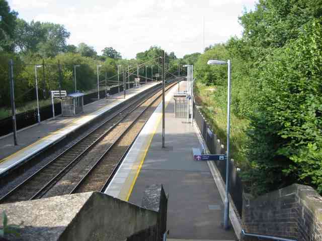
Bayford railway station
Bayford railway station serves the villages of Bayford and Brickendon in Hertfordshire, England. The station is on the Hertford Loop Line, 16 miles 56...

Bayfordbury Observatory
Bayfordbury Observatory is the University of Hertfordshire's astronomical and atmospheric physics remote sensing observatory, and one of the largest teaching...
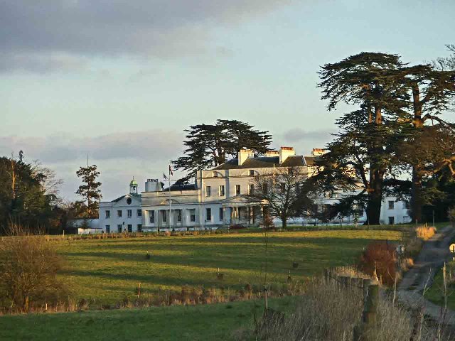
Bayfordbury
Bayfordbury, Hertfordshire, is a large Grade II* listed country house with surrounding parkland, and the location of a University of Hertfordshire campus...
Related Videos

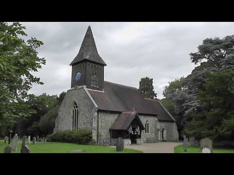
Walk to Hertford
Created with the #GoPro App on my iPhone.
NHRG e-walks, e-walk 76, Letty Green Circular. 13/8/21
Save for the first section of road walking, another very decent 10.4 miler from North Herts Ramblers, on a partly sunny, though ...
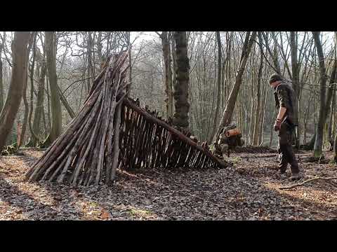
#Bushcraft #Woodland #Hertfordshire Ultimate Bushcraft Solo Overnight Natural Shelter Part 1
In this Part 1, Graham shows you how to make a natural one man thermal shelter with a raised bed to get you off the floor, ...
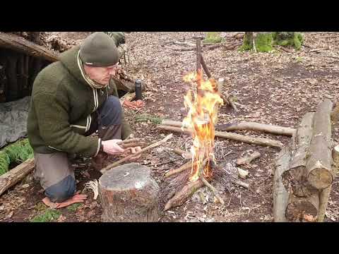
#Bushcraft #Survival #Campcraft Part 2 Ultimate Bushcraft Solo Natural Shelter
Having already built the one man thermal kennel shelter and bed in Part 1, in this video Graham demonstrates how to make a pot ...
Nearby Amenities
Located within 500m of 51.764364,-0.1031123Have you been to Broadgreen Wood?
Leave your review of Broadgreen Wood below (or comments, questions and feedback).