Crowborough

Civil Parish in Sussex Wealden

England

Crowborough

Crowborough Railway Station, Sussex Train seen departing for Uckfield, from Crowborough Railway Station. This station was formerly known as Jarvis Brook, and is nearly a mile from the town itself.
Crowborough Railway Station, Sussex Credit: Peter Trimming

Crowborough is a civil parish located in the Wealden district of the county of East Sussex, England. Situated about 40 miles south of London, it lies approximately 7 miles southwest of Royal Tunbridge Wells and 16 miles northwest of Eastbourne. The town is nestled within the High Weald Area of Outstanding Natural Beauty, making it a scenic and picturesque place to live or visit.

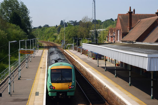
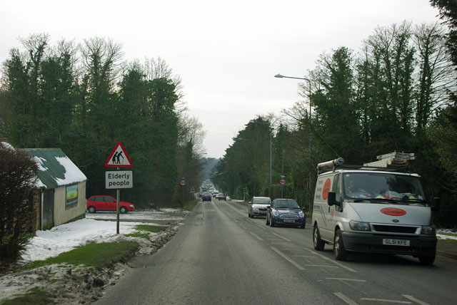
With a population of around 23,000, Crowborough is the largest town in the Wealden district. The area is well-served by transportation links, including the A26 road and the Crowborough railway station, which provides connections to London and other major towns in the region. The town's economy is diverse, encompassing a range of industries such as retail, healthcare, and leisure.

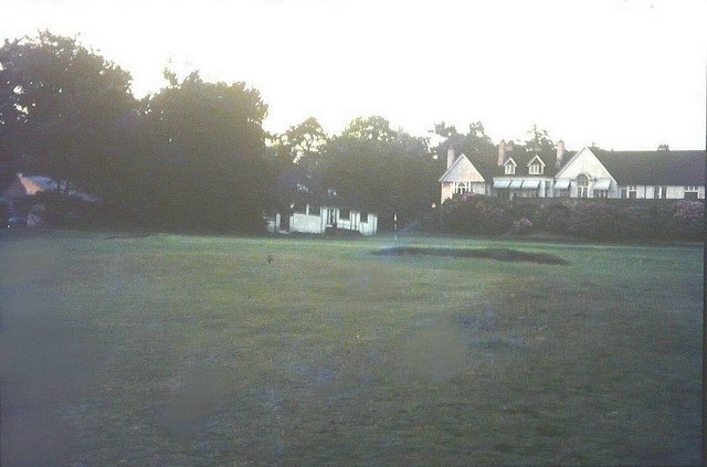
Crowborough is renowned for its stunning natural surroundings, boasting an array of woodlands, heathlands, and parks. Ashdown Forest, which inspired A.A. Milne's Winnie-the-Pooh stories, is located nearby and offers ample opportunities for outdoor activities such as walking, cycling, and horse riding. The town also has a number of recreational facilities, including a leisure center, sports clubs, and golf courses.

In terms of education, Crowborough is home to several primary and secondary schools, as well as a college. The town has a strong community spirit and hosts various events throughout the year, including a summer fair and a Christmas market. Crowborough also benefits from a range of amenities, including shops, restaurants, and medical facilities, ensuring residents have access to essential services.

Overall, Crowborough is a thriving town with a rich natural landscape, providing a high quality of life for its residents and attracting visitors seeking relaxation and outdoor pursuits.

If you have any feedback on the listing, please let us know in the comments section below.
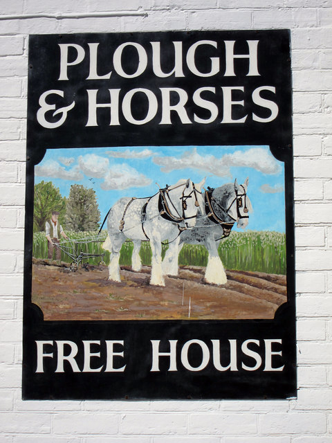
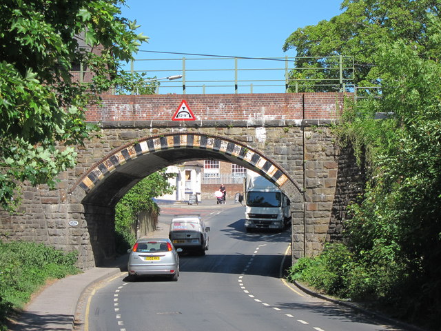
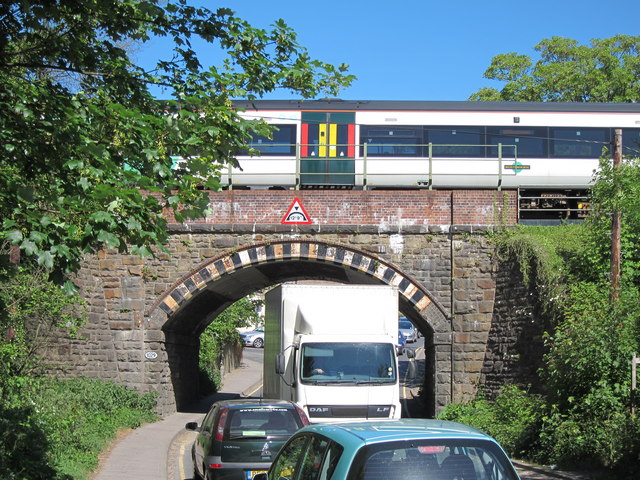
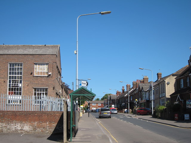
Crowborough Images

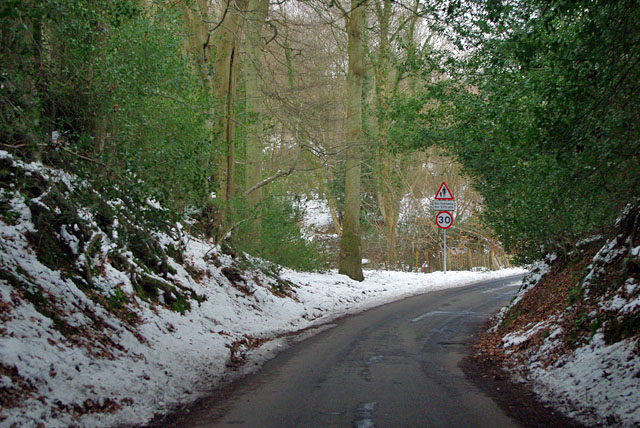
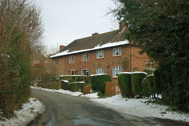
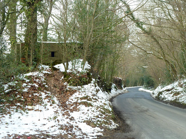
Images are sourced within 2km of 51.049986/0.160941 or Grid Reference TQ5130. Thanks to Geograph Open Source API. All images are credited.

Crowborough Railway Station, Sussex Train seen departing for Uckfield, from Crowborough Railway Station. This station was formerly known as Jarvis Brook, and is nearly a mile from the town itself.
Crowborough Railway Station, Sussex
Train seen departing for Uckfield, from Crowborough Railway Station. This station was formerly known as Jarvis Brook, and is nearly a mile from the town itself.
Welcome Stranger, Jarvis Brook, Sussex Public house, just outside Crowborough Railway Station.
Welcome Stranger, Jarvis Brook, Sussex
Public house, just outside Crowborough Railway Station.
Welcome Stranger, Jarvis Brook A Shepherd Neame pub at Farningham Road and Rotherfield Road junction.
Welcome Stranger, Jarvis Brook
A Shepherd Neame pub at Farningham Road and Rotherfield Road junction.
Welcome Stranger sign Sign for <a href="https://www.geograph.org.uk/photo/2426473">TQ5329 : Welcome Stranger, Jarvis Brook</a>, a Shepherd Neame pub at Farningham Road and Rotherfield Road junction.
Welcome Stranger sign
Sign for TQ5329 : Welcome Stranger, Jarvis Brook, a Shepherd Neame pub at Farningham Road and Rotherfield Road junction.
Railway Bridge over Crowborough Hill Stone and bridge arched bridge carrying the Oxted Line over the main road. Crowborough Station is just out of sight to the left of the bridge.
Railway Bridge over Crowborough Hill
Stone and bridge arched bridge carrying the Oxted Line over the main road. Crowborough Station is just out of sight to the left of the bridge.
Railway Bridge over Crowborough Hill Stone and bridge arched bridge carrying the Oxted Line over the B2100 main road towards Crowborough centre. Crowborough Station is just out of sight to the left of the bridge.
Railway Bridge over Crowborough Hill
Stone and bridge arched bridge carrying the Oxted Line over the B2100 main road towards Crowborough centre. Crowborough Station is just out of sight to the left of the bridge.
B2100 Crowborough Hill
Crowborough Beacon Golf Club in 1967
View from Crowborough Beacon Golf Club in 1967 A rather hazy view of the distant South Downs across part of the golf course.
View from Crowborough Beacon Golf Club in 1967
A rather hazy view of the distant South Downs across part of the golf course.
Jarvis Brook Old photograph taken in 1954. These buildings are in Western Road and still exist today.
Jarvis Brook
Old photograph taken in 1954. These buildings are in Western Road and still exist today.
Queen's Road, Crowborough Carlton Terrace on the right, part of a succession of houses using quite a lot of the local stone as well as brick.
Queen's Road, Crowborough
Carlton Terrace on the right, part of a succession of houses using quite a lot of the local stone as well as brick.
Stone Cross Road - 30 limit ahead Also a warning that there is no footway for 270 yards (247 m for those puzzled by that).
Stone Cross Road - 30 limit ahead
Also a warning that there is no footway for 270 yards (247 m for those puzzled by that).
Houses on Stone Cross Road At the edge of the Alderbrook district of Crowborough.
Houses on Stone Cross Road
At the edge of the Alderbrook district of Crowborough.
Stone Cross Road meets Walshes Road Walshes Road is Fermor Road to the left of this junction. At the immediate right is the residential Alderbrook Close. This is a very odd name as it is a through road, looping back to Stone Cross Road.
Stone Cross Road meets Walshes Road
Walshes Road is Fermor Road to the left of this junction. At the immediate right is the residential Alderbrook Close. This is a very odd name as it is a through road, looping back to Stone Cross Road.
Pillbox by Hadlow Down Road Perched on a bank with views over both the road and the valley to the left. The entrance is on the far side.
Pillbox by Hadlow Down Road
Perched on a bank with views over both the road and the valley to the left. The entrance is on the far side.
A26 - beware elderly people There must be a home somewhere around here, but it was not obvious.
A26 - beware elderly people
There must be a home somewhere around here, but it was not obvious.
Crowborough station building Crowborough station used to be called Crowborough and Jarvis Brook, as although it is within the built up area of Crowborough it is on the eastern edge in Jarvis Brook.
Crowborough station building
Crowborough station used to be called Crowborough and Jarvis Brook, as although it is within the built up area of Crowborough it is on the eastern edge in Jarvis Brook.
Show me another place!

Crowborough is located at Grid Ref: TQ5130 (Lat: 51.049986, Lng: 0.160941)

Administrative County: East Sussex

District: Wealden

Police Authority: Sussex

What 3 Words

///outnumber.plotting.sediment. Near Crowborough, East Sussex

Nearby Locations

Crowborough

Related Wikis

A26 road

The A26 road is a primary route in the southeast of England, going from Maidstone to Newhaven through the counties of Kent and East Sussex. The road is...

Crowborough Athletic F.C.

Crowborough Athletic Football Club is a football club based in Crowborough, East Sussex, England. Affiliated to the Sussex County Football Association...

Beacon Academy

Beacon Academy (formerly Beacon Community College) is a coeducational secondary school and sixth form located in Crowborough in the English county of East...

Pratt's Mill, Crowborough

Pratt's Mill is a tower mill at Crowborough, Sussex, England which has been truncated and converted to residential accommodation. == History == Pratt...

Nearby Amenities

Located within 500m of 51.049986,0.160941
Turning Circle
Lat/Long: 51.0468127/0.161095
Fuel
BP
Addr City: Crowborough
Addr Postcode: TN6 1HA
Addr Street: Croft Road
Brand: BP
Brand Wikidata: Q152057
Brand Wikipedia: en:BP
Fhrs Id: 171649
Operator: BP
Self Service: no
Source Addr: FHRS Open Data
Lat/Long: 51.0537795/0.1608876
Turning Circle
Lat/Long: 51.0514744/0.1620196
Turning Circle
Lat/Long: 51.0522421/0.1660901
Turning Circle
Lat/Long: 51.0513385/0.1603011
Turning Circle
Lat/Long: 51.050279/0.1623308
Turning Circle
Lat/Long: 51.0515702/0.1631854
Turning Circle
Lat/Long: 51.0495017/0.1590907
Turning Circle
Lat/Long: 51.0476165/0.1570146
Turning Circle
Lat/Long: 51.0478272/0.1580423
Turning Circle
Lat/Long: 51.0486704/0.1580902
Turning Circle
Lat/Long: 51.0458846/0.1616043
Turning Circle
Lat/Long: 51.0461274/0.1611537
Place Of Worship
St. Thomas’ Chapel
Addr City: Crowborough
Addr Postcode: TN6 2NT
Addr Street: Herne Road
Religion: christian
Source: OS_OpenData_StreetView
Lat/Long: 51.047034/0.1653059
Post Box
Operator: Royal Mail
Operator Wikidata: Q638098
Post Box Type: pillar
Ref: TN6 66D
Royal Cypher: GR
Royal Cypher Wikidata: Q33102273
Lat/Long: 51.0494183/0.1615155
Post Box
Operator: Royal Mail
Operator Wikidata: Q638098
Post Box Type: lamp
Ref: TN6 153
Royal Cypher: EIIR
Royal Cypher Wikidata: Q33102113
Lat/Long: 51.0503355/0.1645672
Post Box
Collection Times: Mo-Fr 09:00; Sa 07:00
Drive Through: no
Operator: Royal Mail
Operator Wikidata: Q638098
Post Box Type: lamp
Ref: TN6 333D
Royal Cypher: EIIR
Royal Cypher Wikidata: Q33102113
Lat/Long: 51.0496045/0.1577245
Post Box
Operator: Royal Mail
Operator Wikidata: Q638098
Post Box Type: lamp
Ref: TN6 42D
Royal Cypher: EIIR
Royal Cypher Wikidata: Q33102113
Lat/Long: 51.0509465/0.1573587
Post Box
Drive Through: no
Operator: Royal Mail
Operator Wikidata: Q638098
Ref: TN6 334D
Royal Cypher: EIIR
Royal Cypher Wikidata: Q33102113
Lat/Long: 51.0484932/0.1595976
Post Box
Operator: Royal Mail
Operator Wikidata: Q638098
Post Box Type: lamp
Ref: TN6 170D
Royal Cypher: EIIR
Royal Cypher Wikidata: Q33102113
Lat/Long: 51.0526567/0.1611726
Generator Method: photovoltaic
Generator Orientation: 160
Generator Output Electricity: yes
Generator Solar Modules: 10
Generator Source: solar
Generator Type: solar_photovoltaic_panel
Location: roof
Power: generator
Lat/Long: 51.0516437/0.1559062
Bus Stop
Crowborough The Marletts
Bus: yes
Public Transport: platform
Lat/Long: 51.0525206/0.1664289
Social Facility
York Lodge Rest Home
Social Facility: group_home
Social Facility For: senior
Lat/Long: 51.0539866/0.1637339
Public Footpath
Information: guidepost
Tourism: information
Lat/Long: 51.050971/0.15767
M&S Simply Food
Addr City: Crowborough
Addr Housename: Croft Road Service Station
Addr Postcode: TN6 1HA
Addr Street: Croft Road
Brand: M&S Simply Food
Brand Wikidata: Q714491
Brand Wikipedia: en:Marks & Spencer
Contact Website: https://www.marksandspencer.com/stores/croft-road-bp-1218
Fhrs Id: 171649
Shop: convenience
Source Addr: FHRS Open Data
Lat/Long: 51.0539675/0.1609442
Bus Stop
United Church
Bench: yes
Bus: yes
Naptan AtcoCode: 1400WE0038
Naptan NaptanCode: esuawaga
Public Transport: platform
Shelter: yes
Lat/Long: 51.0527156/0.1607793
Car Wash
Lat/Long: 51.053811/0.160578
Addr Housename: Cringleford
Addr Street: South View Road
Building: house
Lat/Long: 51.0529735/0.1595678
Addr Housename: Dormers
Addr Street: South View Road
Building: house
Lat/Long: 51.0527608/0.1595322
Addr Housename: Oakwood
Addr Street: South View Road
Building: house
Lat/Long: 51.0531772/0.159331
Bus Stop
United Church
Bus: yes
Public Transport: platform
Lat/Long: 51.0529287/0.1609909
Bus Stop
Bricklayers Arms
Bus: yes
Naptan AtcoCode: 1400WE0034
Naptan NaptanCode: esuawadm
Public Transport: platform
Lat/Long: 51.0491011/0.1617378
Whitehill News & Convenience
Brand: Premier
Brand Wikidata: Q7240340
Brand Wikipedia: en:Premier Stores
Operator: Premier
Shop: convenience
Lat/Long: 51.0494512/0.1614292
Generator Method: photovoltaic
Generator Output Electricity: yes
Generator Source: solar
Generator Type: solar_photovoltaic_panel
Power: generator
Lat/Long: 51.04973/0.1575252
Generator Method: photovoltaic
Generator Output Electricity: yes
Generator Source: solar
Generator Type: solar_photovoltaic_panel
Location: roof
Power: generator
Lat/Long: 51.0537085/0.1574913
Generator Method: photovoltaic
Generator Output Electricity: yes
Generator Source: solar
Generator Type: solar_photovoltaic_panel
Location: roof
Power: generator
Lat/Long: 51.0507469/0.15728
Generator Method: photovoltaic
Generator Output Electricity: yes
Generator Source: solar
Generator Type: solar_photovoltaic_panel
Location: roof
Power: generator
Lat/Long: 51.0501639/0.1556667
Generator Method: photovoltaic
Generator Output Electricity: yes
Generator Source: solar
Generator Type: solar_photovoltaic_panel
Location: roof
Power: generator
Lat/Long: 51.0519188/0.1626572
Generator Method: photovoltaic
Generator Output Electricity: yes
Generator Source: solar
Generator Type: solar_photovoltaic_panel
Location: roof
Power: generator
Lat/Long: 51.0523057/0.1631065
Generator Method: photovoltaic
Generator Output Electricity: yes
Generator Source: solar
Generator Type: solar_photovoltaic_panel
Location: roof
Power: generator
Lat/Long: 51.0524389/0.1614194
Generator Method: photovoltaic
Generator Output Electricity: yes
Generator Source: solar
Generator Type: solar_photovoltaic_panel
Location: roof
Power: generator
Lat/Long: 51.0534269/0.1613174
Generator Method: photovoltaic
Generator Output Electricity: yes
Generator Source: solar
Generator Type: solar_photovoltaic_panel
Location: roof
Power: generator
Lat/Long: 51.0520798/0.1660529
Generator Method: photovoltaic
Generator Output Electricity: yes
Generator Source: solar
Generator Type: solar_photovoltaic_panel
Location: roof
Power: generator
Lat/Long: 51.0519946/0.1668911
Generator Method: photovoltaic
Generator Output Electricity: yes
Generator Source: solar
Generator Type: solar_photovoltaic_panel
Location: roof
Power: generator
Lat/Long: 51.0491687/0.1548573
Waste Basket
Lat/Long: 51.0528814/0.1650148
Waste Basket
Lat/Long: 51.051004/0.1620025
Barrier: cycle_barrier
Bicycle: no
Foot: yes
Horse: no
Motor Vehicle: no
Lat/Long: 51.0509573/0.1620883
Barrier: bollard
Lat/Long: 51.0512172/0.1610648
Waste Basket
Lat/Long: 51.0523701/0.1606335
Bench
Lat/Long: 51.0523226/0.160622
Addr City: Crowborough
Addr Street: Sandridge
Lat/Long: 51.0516044/0.1604986
Addr City: Crowborough
Addr Postcode: TN6 1JD
Addr Street: Windlesham Close
Lat/Long: 51.0508177/0.162304
Generator Method: photovoltaic
Generator Output Electricity: yes
Generator Source: solar
Generator Type: solar_photovoltaic_panel
Location: roof
Power: generator
Lat/Long: 51.0516954/0.1648566
Generator Method: photovoltaic
Generator Output Electricity: yes
Generator Source: solar
Generator Type: solar_photovoltaic_panel
Location: roof
Power: generator
Lat/Long: 51.0515672/0.1654252
Bus Stop
Bricklayers Arms
Bus: yes
Public Transport: platform
Lat/Long: 51.0487349/0.1616839
The data included in this document is from www.openstreetmap.org. The data is made available under ODbL.

Have you been to Crowborough?

Leave your review of Crowborough below (or comments, questions and feedback).