Crostwick
Civil Parish in Norfolk Broadland
England
Crostwick
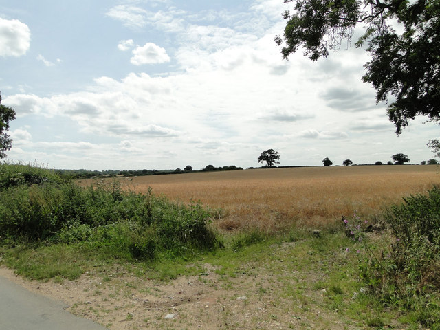
Crostwick is a civil parish located in the county of Norfolk, England. It is situated approximately 7 miles northeast of Norwich, the county town. The parish covers an area of about 4 square miles and is primarily a rural area with a small population.
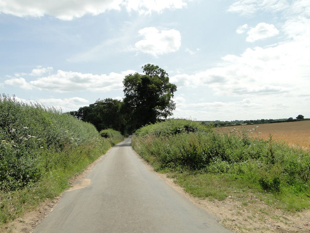
The village of Crostwick is the main settlement within the parish. It is a quiet and picturesque village with a mix of residential, agricultural, and woodland areas. The village is surrounded by open countryside, offering stunning views and a peaceful atmosphere.
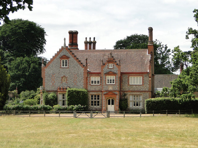
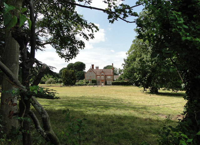
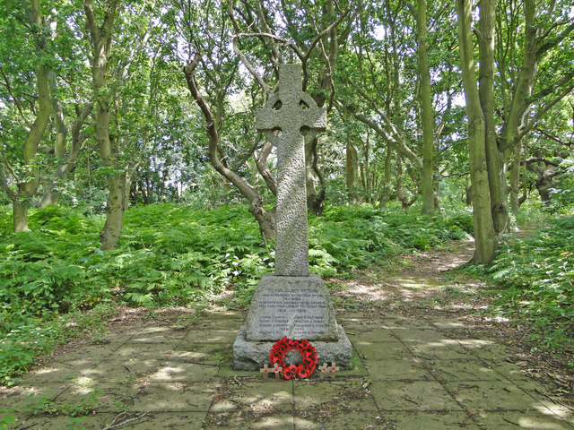
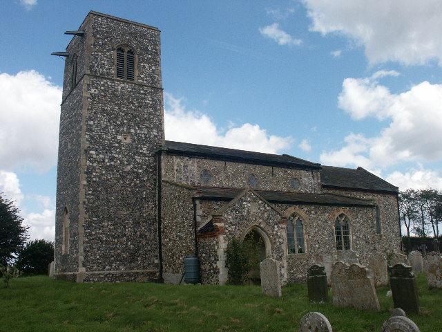
Crostwick has a rich history, with evidence of human settlement dating back to the Roman period. The village flourished during the medieval era and was mentioned in the Domesday Book of 1086. Today, remnants of the past can still be seen in the form of historic buildings and structures, including the 14th-century Church of St. Peter.
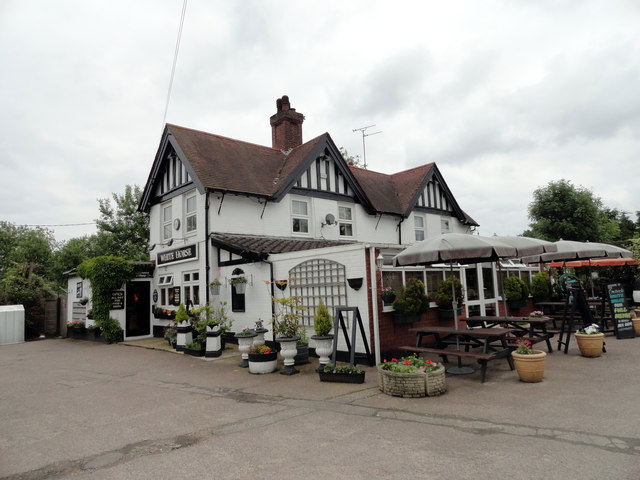
The village has limited amenities, with a small number of local businesses and services. However, residents have easy access to nearby towns and cities for a wider range of facilities. The area is well-connected by road, with the A140 running through the parish, providing convenient transportation links.
Crostwick offers a peaceful and idyllic countryside living, attracting those seeking a quiet and rural lifestyle. Its close proximity to Norwich allows residents to enjoy the benefits of both rural and urban living. Overall, Crostwick is a charming civil parish with a rich history and a tranquil environment.
If you have any feedback on the listing, please let us know in the comments section below.
Crostwick Images
Images are sourced within 2km of 52.700272/1.345038 or Grid Reference TG2616. Thanks to Geograph Open Source API. All images are credited.


Crostwick is located at Grid Ref: TG2616 (Lat: 52.700272, Lng: 1.345038)
Administrative County: Norfolk
District: Broadland
Police Authority: Norfolk
What 3 Words
///hoped.feasted.mammoth. Near Spixworth, Norfolk
Nearby Locations
Related Wikis
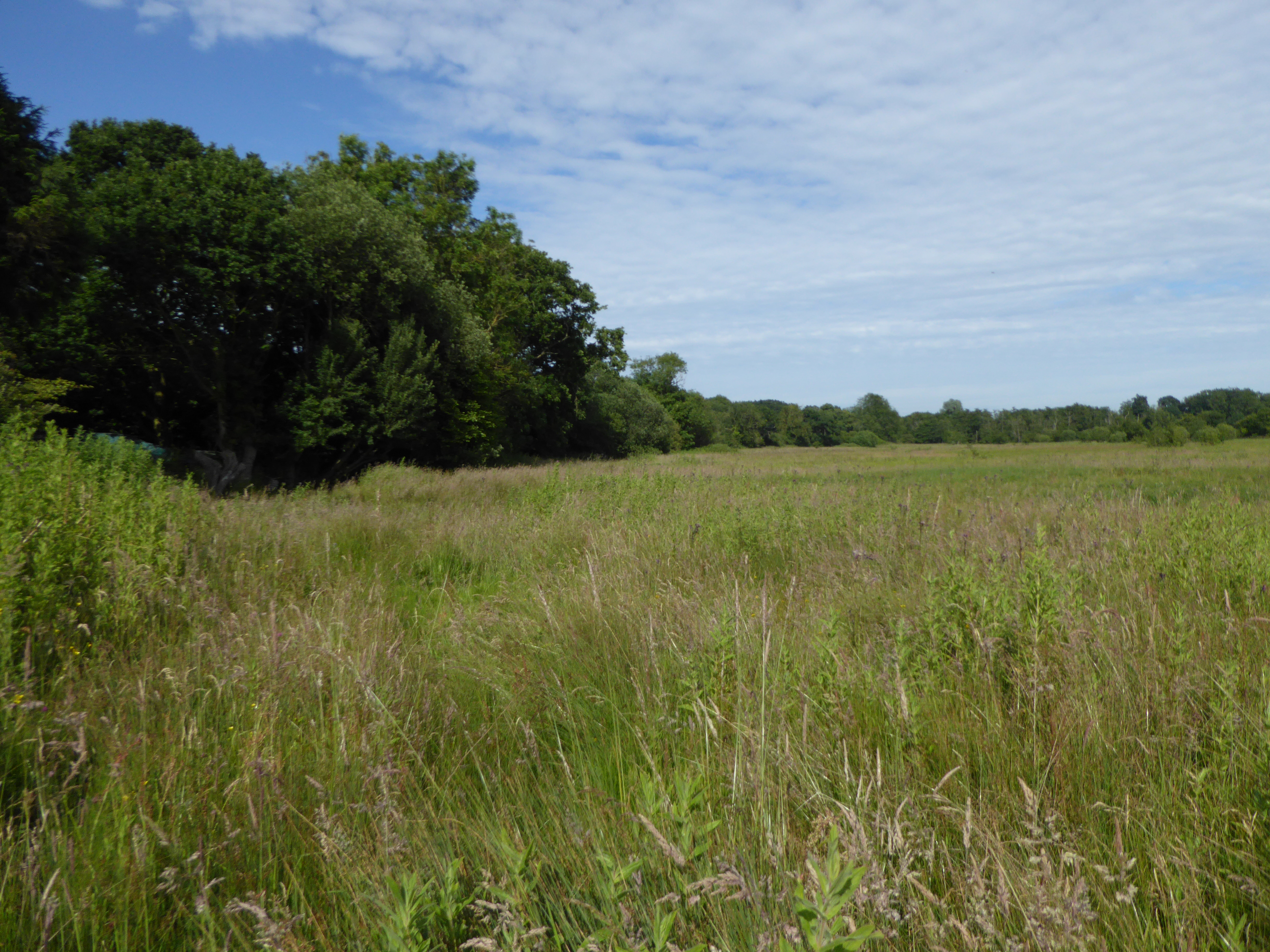
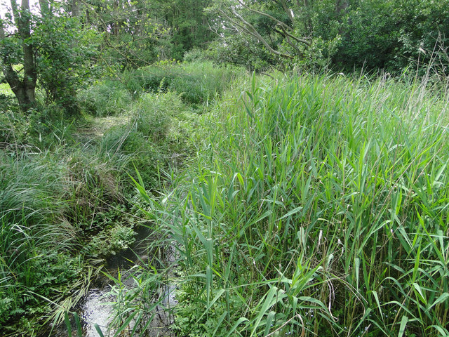
Crostwick Marsh
Crostwick Marsh is an 11.6-hectare (29-acre) biological Site of Special Scientific Interest in Crostwick, north of Norwich in Norfolk. It is part of the...

Crostwick
Crostwick is a village in the English county of Norfolk. The village is part of the civil parish of Horstead with Stanninghall. Crostwick is located 2...

Hillside Animal Sanctuary
Hillside Animal Sanctuary, based in Frettenham, Norwich, and with a site at West Runton, North Norfolk, is the United Kingdom's largest home for different...

Frettenham
Frettenham is a village and civil parish in the English county of Norfolk. It is located 3.2 miles (5.1 km) west of Wroxham, and 5.7 miles (9.2 km) north...

Spixworth
Spixworth is a village and civil parish in the English county of Norfolk. The village lies close to the B1150 road and is 5 miles (8.0 km) north of Norwich...

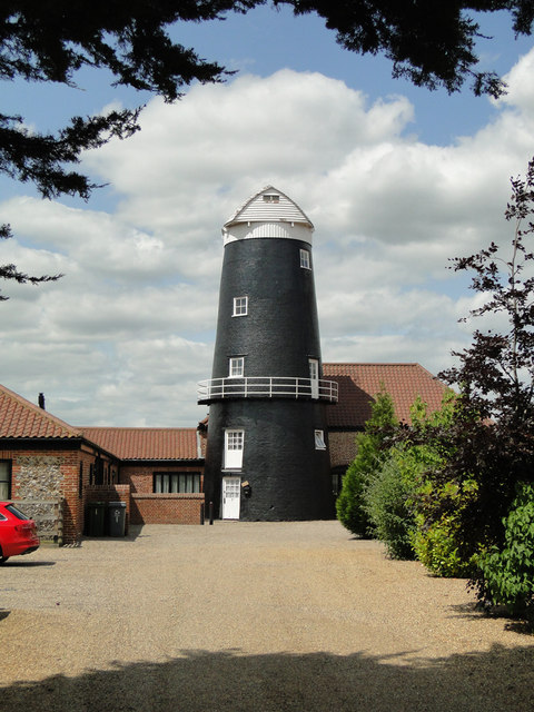
Frettenham Windmill
Frettenham Mill is a Grade II listed tower mill at Frettenham, Norfolk, England which has been converted to residential accommodation. == History == Frettenham...

River Hor
The River Hor is a short river in the county of Norfolk, England. It runs 13.3 kilometres (8.3 mi) east from its source near Felthorpe to its confluence...
Beeston St Andrew
Beeston St Andrew is a civil parish north of Norwich in the Broadland district of Norfolk, England. It contains Beeston Park and according to the 2001...
Nearby Amenities
Located within 500m of 52.700272,1.345038Have you been to Crostwick?
Leave your review of Crostwick below (or comments, questions and feedback).