Cronton
Civil Parish in Lancashire Knowsley
England
Cronton

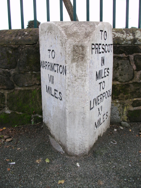
Cronton is a civil parish located in the county of Lancashire, England. Situated approximately 8 miles east of Liverpool and 10 miles west of Warrington, it falls within the borough of Halton. The parish covers an area of around 5 square miles and has a population of approximately 2,000 residents.
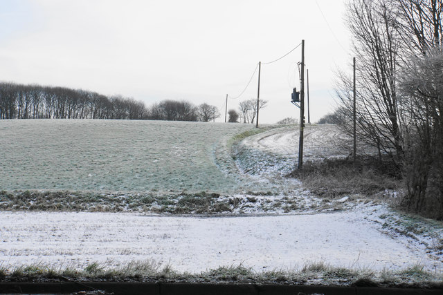
The village of Cronton is known for its picturesque countryside and rural charm. It is surrounded by fields and farmland, offering a peaceful and idyllic setting for its residents. The village itself is small, with a handful of local amenities, including a primary school, a village hall, and a church. The community is close-knit, and there is a strong sense of community spirit.
Cronton is well-connected to the surrounding areas by road. The M62 motorway runs to the south of the parish, providing easy access to Liverpool, Manchester, and other major cities in the region. There are also regular bus services that connect the village to nearby towns and cities.
The parish is rich in history, with evidence of human settlement dating back to the Roman period. The nearby archaeological site of Castle Hill is an important historical landmark and attracts visitors interested in the area's past. Additionally, the surrounding countryside offers opportunities for outdoor activities such as walking, cycling, and horse riding.
Overall, Cronton is a charming rural parish with a strong sense of community and a rich historical heritage. It is an ideal place for those seeking a peaceful and picturesque lifestyle, while still being within easy reach of larger urban centers.
If you have any feedback on the listing, please let us know in the comments section below.
Cronton Images
Images are sourced within 2km of 53.391997/-2.766302 or Grid Reference SJ4988. Thanks to Geograph Open Source API. All images are credited.


Cronton is located at Grid Ref: SJ4988 (Lat: 53.391997, Lng: -2.766302)
Administrative County: Merseyside
District: Knowsley
Police Authority: Merseyside
What 3 Words
///wizard.outer.unable. Near Whiston, Merseyside
Related Wikis

Cronton
Cronton is a village and civil parish within the Metropolitan Borough of Knowsley, Merseyside, in England. The village is surrounded by green belt land...

Tower College
Tower College is an English independent non-denominational Christian school for boys and girls aged 3–16. == History == The school is named after the main...

St Bartholomew's Church, Rainhill
St Bartholomew's Church is a Roman Catholic parish church in Rainhill, Merseyside. It was built in 1838-40 in the style of the Church of San Bartolomeo...

Rainhill High School
Rainhill High School is a coeducational secondary school and sixth form located in Rainhill, Merseyside, England. The school is the official Liverpool...
Rainhill Hall
Rainhill Hall or Loyola Hall is a Grade II listed country house built in the 19th century in Rainhill, Merseyside, England, by Bartholomew Bretherton....
Ormiston Chadwick Academy
Ormiston Chadwick Academy (from 2014, prior to which it was called The Bankfield School) is a coeducational secondary school with academy status, located...
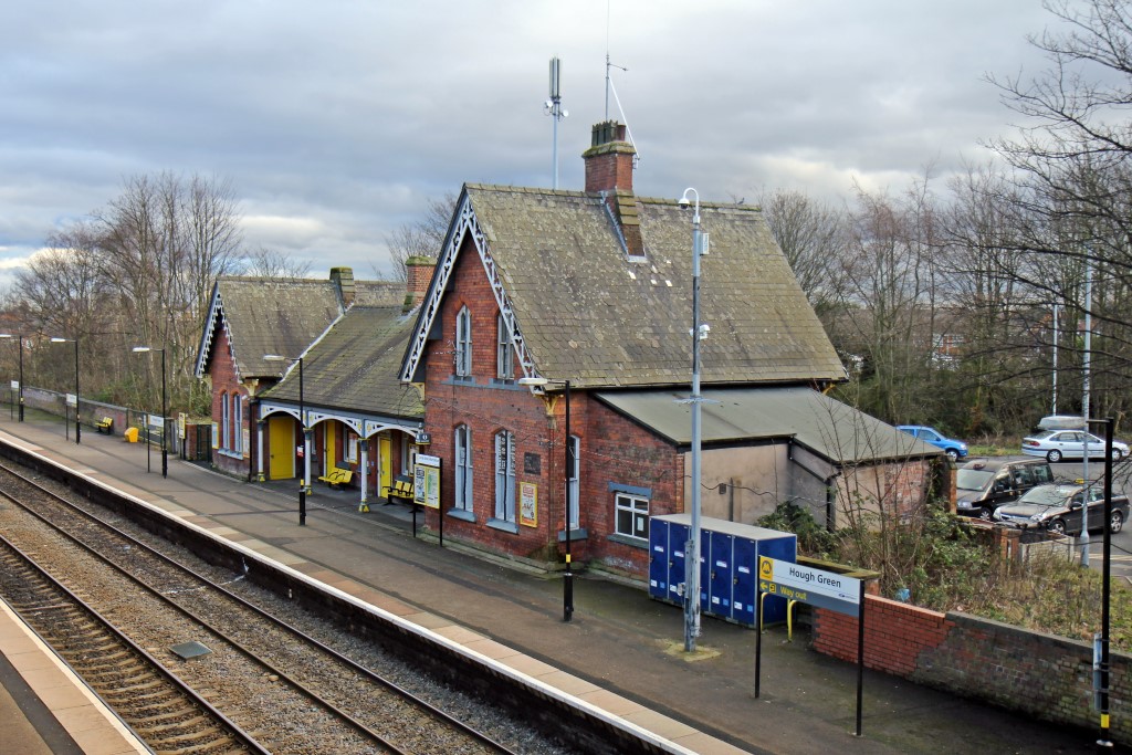
Hough Green railway station
Hough Green railway station is a railway station to the west of Widnes in Halton, Cheshire, England. It is recorded in the National Heritage List for England...
Hough Green
Hough Green is a residential area of the town of Widnes, within the borough of Halton, in the ceremonial county of Cheshire, England. Within the boundaries...
Nearby Amenities
Located within 500m of 53.391997,-2.766302Have you been to Cronton?
Leave your review of Cronton below (or comments, questions and feedback).