Cromford
Civil Parish in Derbyshire Derbyshire Dales
England
Cromford
Cromford is a small civil parish located in Derbyshire, England. It is situated in the Derwent Valley Mills World Heritage Site, approximately 17 miles north of Derby and 3 miles south of Matlock. The parish covers an area of around 1.5 square miles and has a population of approximately 1,500 people.
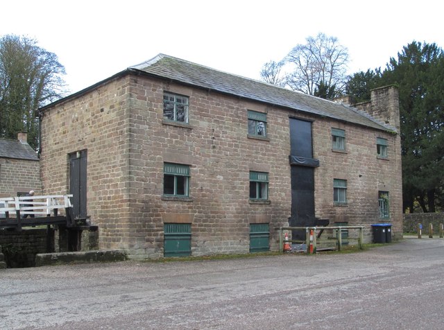
Cromford is historically significant as it was home to the world's first successful water-powered cotton spinning mill, built by Sir Richard Arkwright in 1771. The mill, known as Cromford Mill, played a crucial role in the Industrial Revolution and is now a popular tourist attraction. The village of Cromford developed around the mill to accommodate the workers and their families.
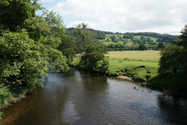
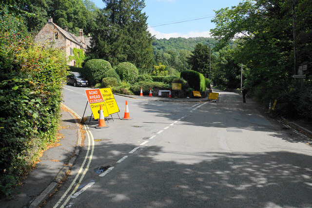
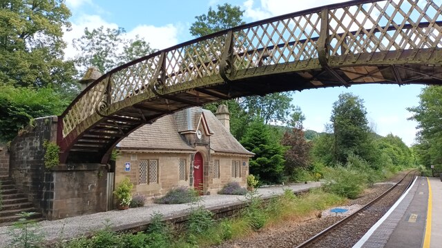
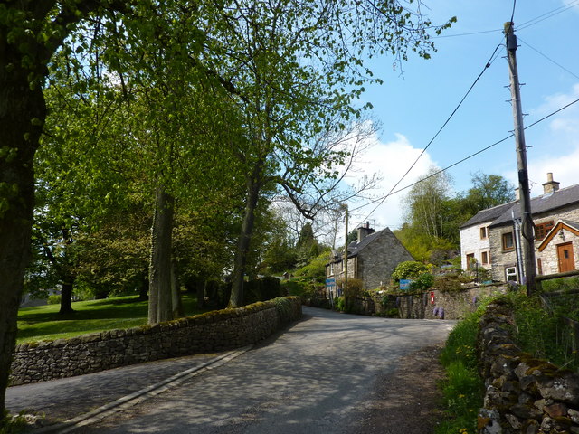
Today, Cromford retains much of its historic charm and is known for its well-preserved architecture from the Industrial Revolution era. The village has narrow streets lined with stone cottages and historic buildings, creating a picturesque setting. Visitors can explore the Cromford Canal, which runs through the village, offering scenic walks and boat trips.
Cromford offers a range of amenities, including local shops, pubs, and restaurants, making it a convenient place to live and visit. The parish also has a primary school, providing education for the local community. The surrounding countryside provides opportunities for outdoor activities such as hiking, cycling, and exploring the nearby Peak District National Park.
Overall, Cromford is a fascinating and historically significant village in Derbyshire, known for its industrial heritage, picturesque surroundings, and community spirit.
If you have any feedback on the listing, please let us know in the comments section below.
Cromford Images
Images are sourced within 2km of 53.112957/-1.578382 or Grid Reference SK2857. Thanks to Geograph Open Source API. All images are credited.


Cromford is located at Grid Ref: SK2857 (Lat: 53.112957, Lng: -1.578382)
Administrative County: Derbyshire
District: Derbyshire Dales
Police Authority: Derbyshire
What 3 Words
///meanest.exam.entrusted. Near Cromford, Derbyshire
Nearby Locations
Related Wikis
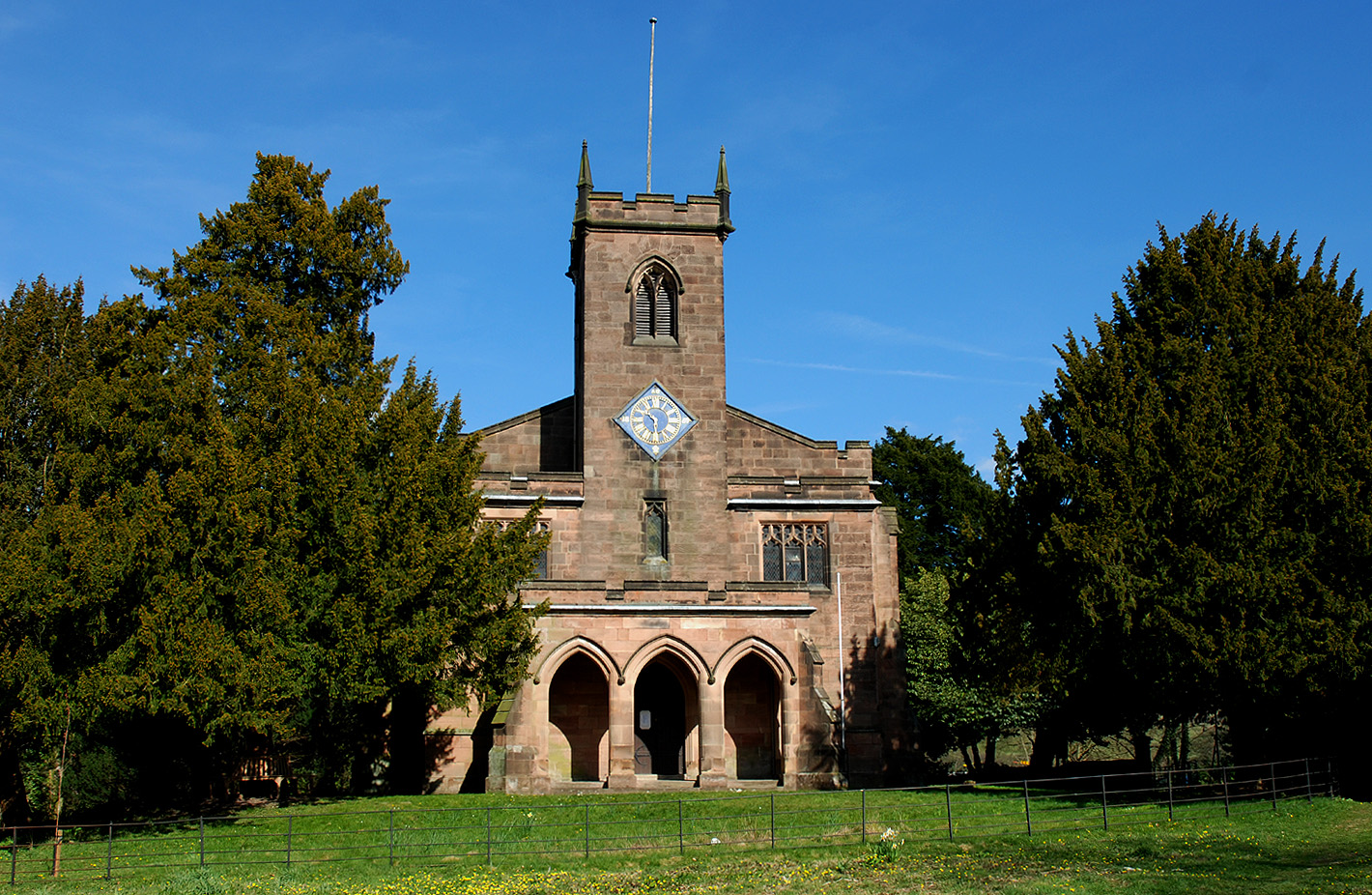
St James the Apostle's Church, Bonsall
St James the Apostle's Church, Bonsall is a Grade II* listed parish church in the Church of England: 101 in Bonsall, Derbyshire. == History == The church...
Slaley, Derbyshire
Slaley is a hamlet in the civil parish of Bonsall, in the Derbyshire Dales district, in the county of Derbyshire, England. The hamlet is located to the...

Bonsall, Derbyshire
Bonsall is a village and civil parish in the Derbyshire Dales on the edge of the Peak District. The civil parish population, including Brightgate and Horse...

Gulliver's Kingdom
Gulliver's Kingdom (also known as Gulliver's Matlock Bath) is a theme park aimed at children aged 3-13 in the Derbyshire town of Matlock Bath, England...

Masson Mill
Sir Richard Arkwright's Masson Mill is a water-powered cotton spinning mill situated on the west bank of the River Derwent in Matlock Bath, Derbyshire...
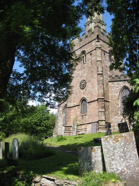
St Mary's Church, Cromford
St Mary's Church, Cromford, is a Grade I listed parish church in the Church of England in Cromford, Derbyshire. == History == The current building replaced...

Holy Trinity Church, Matlock Bath
Holy Trinity Church, Matlock Bath is a Grade II listed parish church in the Church of England in Matlock Bath, Derbyshire. == History == The foundation...

Peak District Lead Mining Museum
The Peak District Lead Mining Museum is located at Matlock Bath, Derbyshire, England. The museum has a mockup of a lead mine in which children may safely...
Nearby Amenities
Located within 500m of 53.112957,-1.578382Have you been to Cromford?
Leave your review of Cromford below (or comments, questions and feedback).