Croft
Civil Parish in Leicestershire Blaby
England
Croft
Croft is a civil parish located in Leicestershire, England. It is situated approximately 9 miles southwest of Leicester city center. The parish covers an area of about 1.8 square miles and is bordered by the villages of Whetstone, Blaby, and Glen Parva.
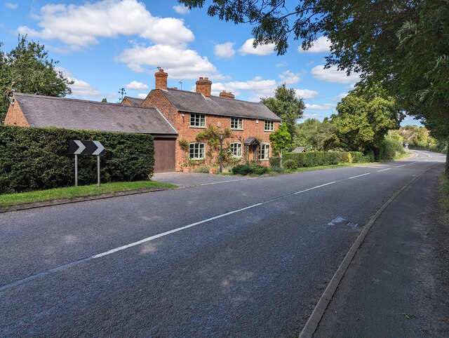
Croft is a small and peaceful rural village with a population of around 1,200 residents. The village is known for its picturesque countryside and charming architecture, with many traditional cottages and historic buildings still standing. The parish is predominantly residential, with a few small businesses and amenities serving the local community.
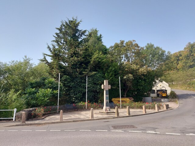
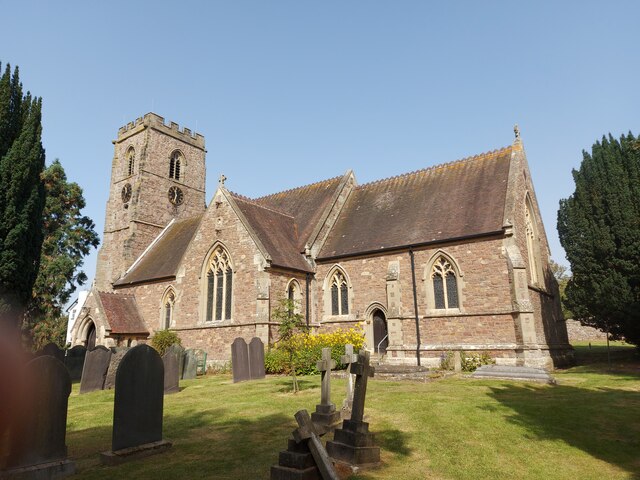
One of the notable landmarks in Croft is the St. Michael and All Angels Church, which dates back to the 13th century. The church is known for its beautiful stained glass windows and architectural features, attracting visitors interested in historical and religious sites.
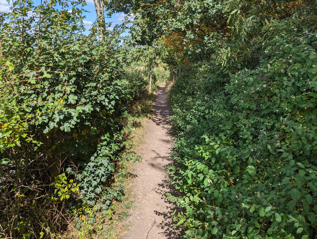
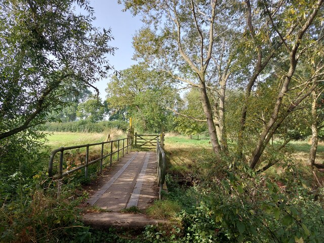
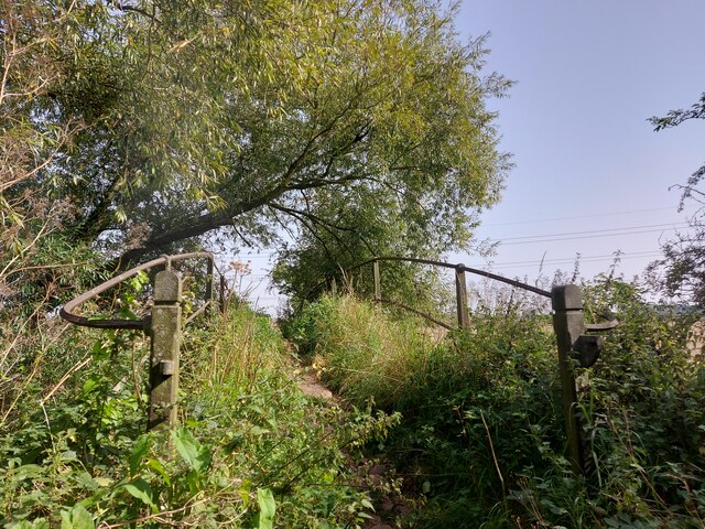
Croft is also home to several recreational areas, including open fields, parks, and footpaths, making it an ideal location for outdoor activities such as walking, cycling, and picnicking. The village is surrounded by farmland, offering stunning views of the Leicestershire countryside.
Although small in size, Croft benefits from its proximity to nearby towns and cities. Leicester is easily accessible, providing residents with a range of amenities, shopping centers, and entertainment options. The village also has good transport links, with regular bus services connecting to neighboring areas.
Overall, Croft offers a peaceful and rural lifestyle, with its scenic surroundings and close-knit community making it an attractive place to live.
If you have any feedback on the listing, please let us know in the comments section below.
Croft Images
Images are sourced within 2km of 52.556351/-1.242272 or Grid Reference SP5195. Thanks to Geograph Open Source API. All images are credited.


Croft is located at Grid Ref: SP5195 (Lat: 52.556351, Lng: -1.242272)
Administrative County: Leicestershire
District: Blaby
Police Authority: Leicestershire
What 3 Words
///cove.intersect.tonic. Near Croft, Leicestershire
Related Wikis

Croft, Leicestershire
Croft is a village and civil parish in the Blaby district of Leicestershire, off the Fosse Way, straddling the River Soar. The population of the civil...
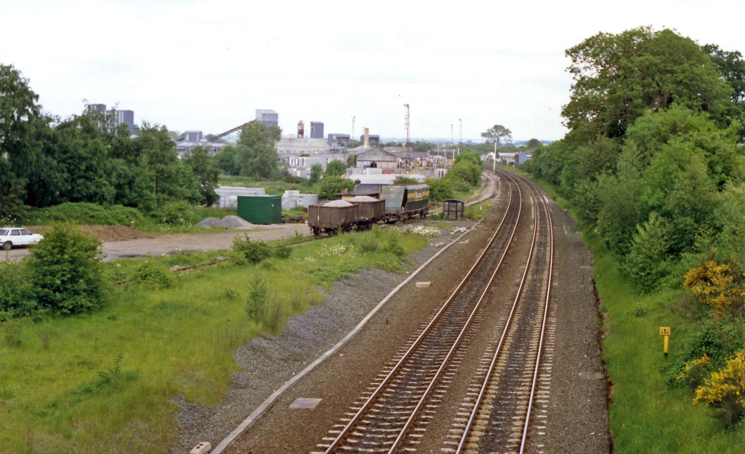
Croft railway station, Leicester
Croft railway station was a railway station serving the village of Croft in Leicestershire. It was on the Birmingham to Peterborough Line about 9 miles...
Croft Pasture
Croft Pasture is a 6.2-hectare (15-acre) biological Site of Special Scientific Interest on the outskirts of Croft in Leicestershire. Most of the site,...

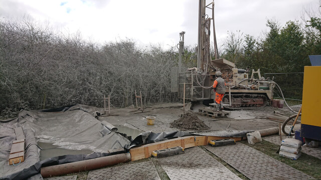
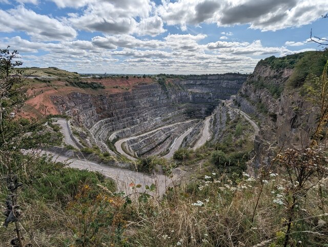
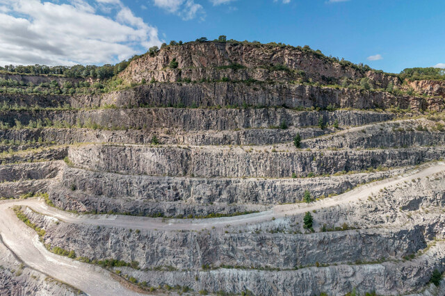
Croft and Huncote Quarry
Croft and Huncote Quarry is a 35.3-hectare (87-acre) geological Site of Special Scientific Interest north of Croft in Leicestershire. It is a Geological...

Croft Hill
Croft Hill is a 2-hectare (4.9-acre) biological Site of Special Scientific Interest north of Croft in Leicestershire, England.This site has short, tussocky...

Potters Marston
Potters Marston is a village and civil parish in the district of Blaby in Leicestershire, England. It has a population of around 40, and is roughly between...

Sutton in the Elms
Sutton in the Elms is a settlement in the northwest of Broughton Astley (where the population is listed), Leicestershire. Its name is sometimes abbreviated...

Huncote
Huncote is a village and civil parish in the district of Blaby in the county of Leicestershire, England. It is just west of Narborough, and is on the...
Nearby Amenities
Located within 500m of 52.556351,-1.242272Have you been to Croft?
Leave your review of Croft below (or comments, questions and feedback).