Cratfield

Civil Parish in Suffolk East Suffolk

England

Cratfield

Avian Influenza (Bird Flu) Sign Avian influenza (bird flu) sign on a minor road between Swan Green and Cratfield Suffolk. This is the entrance to the 10 kilometre surveillance zone more info see <span class="nowrap"><a title="http://www.bbc.co.uk/suffolk/content/articles/2007/02/05/bird_flu_holton_reaction_feature.shtml" rel="nofollow ugc noopener" href="http://www.bbc.co.uk/suffolk/content/articles/2007/02/05/bird_flu_holton_reaction_feature.shtml">Link</a><img style="margin-left:2px;" alt="External link" title="External link - shift click to open in new window" src="https://s1.geograph.org.uk/img/external.png" width="10" height="10"/></span> for close up of sign see <a title="https://www.geograph.org.uk/photo/339930" href="https://www.geograph.org.uk/photo/339930">Link</a>
Avian Influenza (Bird Flu) Sign Credit: Keith Evans

Cratfield is a small civil parish located in the county of Suffolk, England. It is situated approximately 4 miles southwest of the town of Halesworth and covers an area of about 11 square kilometers. The parish is home to a population of around 200 residents.

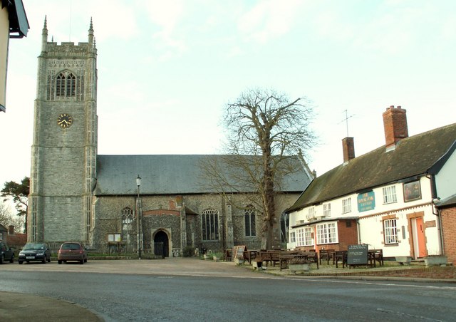
Cratfield is known for its picturesque rural setting, characterized by rolling hills, open fields, and charming countryside views. The village itself is a quintessential English village, with a mix of traditional thatched cottages, Georgian houses, and other historic buildings. The local church, St. Mary's, is a prominent feature in the village, dating back to the 14th century and showcasing beautiful architectural details.

The village has a strong sense of community, with various local events and activities taking place throughout the year. The Cratfield Village Hall serves as a hub for community gatherings, hosting events such as fairs, concerts, and social gatherings.

Cratfield is surrounded by farmland, and agriculture plays a significant role in the local economy. The fertile soil and favorable climate make it an ideal location for farming, and the fields are primarily used for arable crops and grazing livestock.

The village is well-connected by road, with the A144 passing through the nearby town of Halesworth, providing easy access to larger towns and cities in the region. Additionally, the coastal town of Southwold is within a short driving distance, offering beautiful beaches and recreational activities.

Overall, Cratfield is a charming and tranquil village, offering a peaceful countryside retreat for residents and visitors alike.

If you have any feedback on the listing, please let us know in the comments section below.
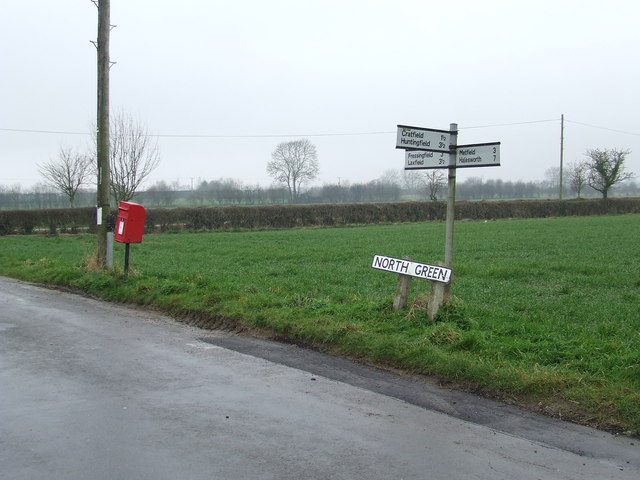
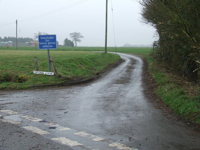
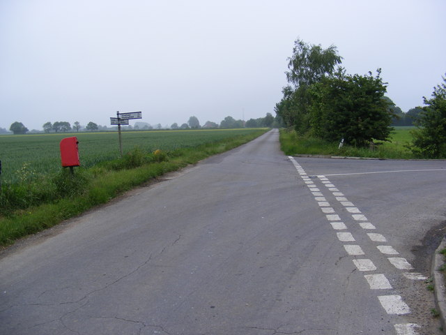
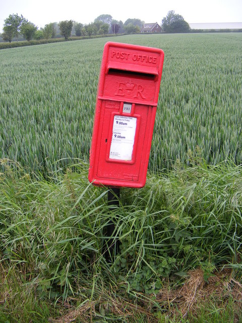
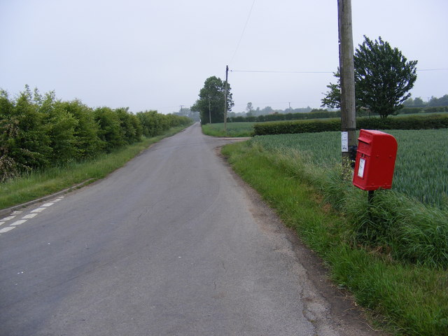
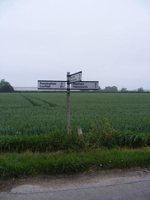
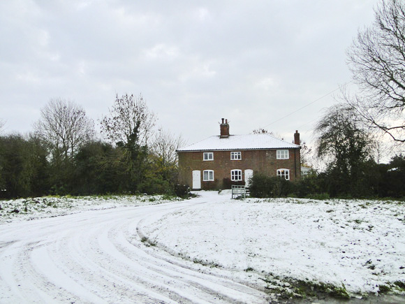
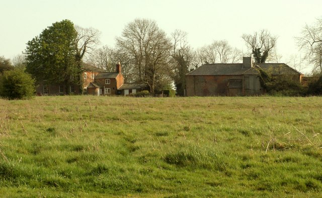
Cratfield Images

Images are sourced within 2km of 52.327225/1.37913 or Grid Reference TM3075. Thanks to Geograph Open Source API. All images are credited.

Avian Influenza (Bird Flu) Sign Avian influenza (bird flu) sign on a minor road between Swan Green and Cratfield Suffolk. This is the entrance to the 10 kilometre surveillance zone more info see <span class="nowrap"><a title="http://www.bbc.co.uk/suffolk/content/articles/2007/02/05/bird_flu_holton_reaction_feature.shtml" rel="nofollow ugc noopener" href="http://www.bbc.co.uk/suffolk/content/articles/2007/02/05/bird_flu_holton_reaction_feature.shtml">Link</a><img style="margin-left:2px;" alt="External link" title="External link - shift click to open in new window" src="https://s1.geograph.org.uk/img/external.png" width="10" height="10"/></span> for close up of sign see <a title="https://www.geograph.org.uk/photo/339930" href="https://www.geograph.org.uk/photo/339930">Link</a>
Avian Influenza (Bird Flu) Sign
Avian influenza (bird flu) sign on a minor road between Swan Green and Cratfield Suffolk. This is the entrance to the 10 kilometre surveillance zone more info see LinkExternal link for close up of sign see Link
Avian Influenza (Bird Flu) Sign Close up of an avian influenza (bird flu) sign on a minor road between Swan Green and Cratfield Suffolk. This is the entrance to the 10 kilometre surveillance zone more info see <span class="nowrap"><a title="http://www.bbc.co.uk/suffolk/content/articles/2007/02/05/bird_flu_holton_reaction_feature.shtml" rel="nofollow ugc noopener" href="http://www.bbc.co.uk/suffolk/content/articles/2007/02/05/bird_flu_holton_reaction_feature.shtml">Link</a><img style="margin-left:2px;" alt="External link" title="External link - shift click to open in new window" src="https://s1.geograph.org.uk/img/external.png" width="10" height="10"/></span> for view of the rural location see <a title="https://www.geograph.org.uk/photo/339925" href="https://www.geograph.org.uk/photo/339925">Link</a>
Avian Influenza (Bird Flu) Sign
Close up of an avian influenza (bird flu) sign on a minor road between Swan Green and Cratfield Suffolk. This is the entrance to the 10 kilometre surveillance zone more info see LinkExternal link for view of the rural location see Link
Part of Grove Farm
Part of Grove Farm
Looking across to Hall Cottage
A view of Elm Lodge across Chippenhall Green Chippenhall Green is quite a large green with many houses of various styles standing around its edge. Elm Lodge is probably the largest.
A view of Elm Lodge across Chippenhall Green
Chippenhall Green is quite a large green with many houses of various styles standing around its edge. Elm Lodge is probably the largest.
Road junction Road junction North Green Suffolk.
Road junction
Road junction North Green Suffolk.
Spong lane Spong lane near to Little Whittingham Green Suffolk.
Spong lane
Spong lane near to Little Whittingham Green Suffolk.
Green track Looking north west along Tongs Lane near to Cratfield Suffolk.
Green track
Looking north west along Tongs Lane near to Cratfield Suffolk.
North Green Road & Cratfield Hall Postbox Looking towards Littletown Farm near Cratfield Hall
Postbox No.IP19 5513
North Green Road & Cratfield Hall Postbox
Looking towards Littletown Farm near Cratfield Hall Postbox No.IP19 5513
Cratfield Hall Postbox On North Green Road
Postbox No.IP19 5513
Cratfield Hall Postbox
On North Green Road Postbox No.IP19 5513
North Green Road & Cratfield Hall Postbox Looking towards Silverley's Green near Cratfield Hall
Postbox No.IP19 5513
North Green Road & Cratfield Hall Postbox
Looking towards Silverley's Green near Cratfield Hall Postbox No.IP19 5513
Roadsign on North Green Road Near Cratfield Hall
Roadsign on North Green Road
Near Cratfield Hall
Cottages on The Common At Chippenhall Green, Suffolk
Cottages on The Common
At Chippenhall Green, Suffolk
Looking across The Common at Chippenhall Green Near Fressingfield, Suffolk.
Looking across The Common at Chippenhall Green
Near Fressingfield, Suffolk.
Pond formed after much rain and now frozen On The Common, Chippingham Green, a sure sign of a clay soil.
Pond formed after much rain and now frozen
On The Common, Chippingham Green, a sure sign of a clay soil.
Cottages at the north end of The Common Chippenham Green, near Fressingfield
Cottages at the north end of The Common
Chippenham Green, near Fressingfield
Jolly Farmer, Cratfield Road Probably once a public house.
Jolly Farmer, Cratfield Road
Probably once a public house.
Poplar Farm on Silverley's Green West of Cratfield
Poplar Farm on Silverley's Green
West of Cratfield
Show me another place!

Cratfield is located at Grid Ref: TM3075 (Lat: 52.327225, Lng: 1.37913)

Administrative County: Suffolk

District: East Suffolk

Police Authority: Suffolk

What 3 Words

///underline.energetic.fact. Near Cookley, Suffolk

Nearby Locations

Cratfield

Related Wikis

Cratfield

Cratfield is a village in northern Suffolk, England. "It has a population of 292 according to the 2011 census." Neighbouring villages include Laxfield...

Chippenhall Green

Chippenhall Green is a 16.3-hectare (40-acre) biological Site of Special Scientific Interest west of Halesworth in Suffolk, England.This unimproved grassland...

Linstead Magna

Linstead Magna is a civil parish in the East Suffolk district of Suffolk in eastern England. == Population and civil parish == In 2005 its population was...

Laxfield

Laxfield is a small ancient village in northern Suffolk, England. It is located at a distinct bend in today's B1117 road. == History == Laxfield arose...

Have you been to Cratfield?

Leave your review of Cratfield below (or comments, questions and feedback).