Cranwell, Brauncewell and Byard's Leap

Civil Parish in Lincolnshire North Kesteven

England

Cranwell, Brauncewell and Byard's Leap

A15 heading North
A15 heading North Credit: Steve Fareham

The requested URL returned error: 429 Too Many Requests

If you have any feedback on the listing, please let us know in the comments section below.

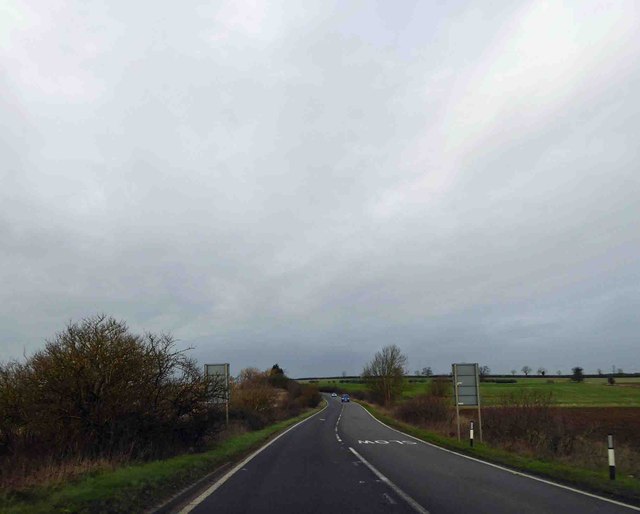
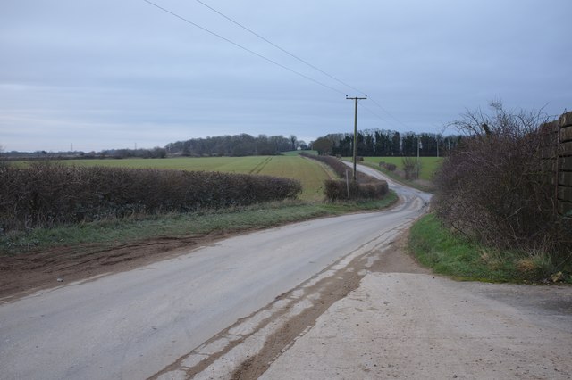
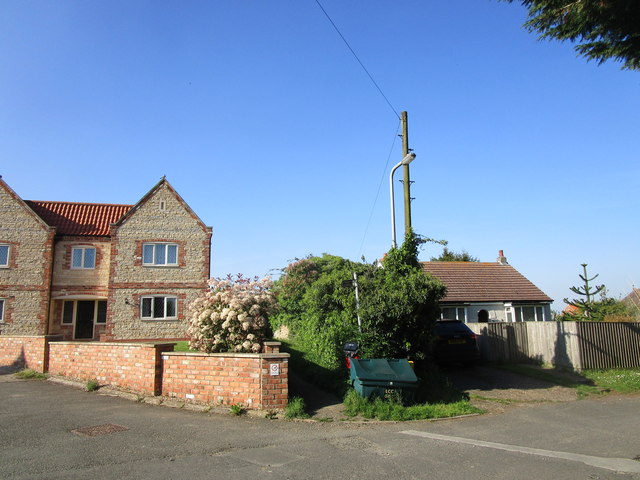
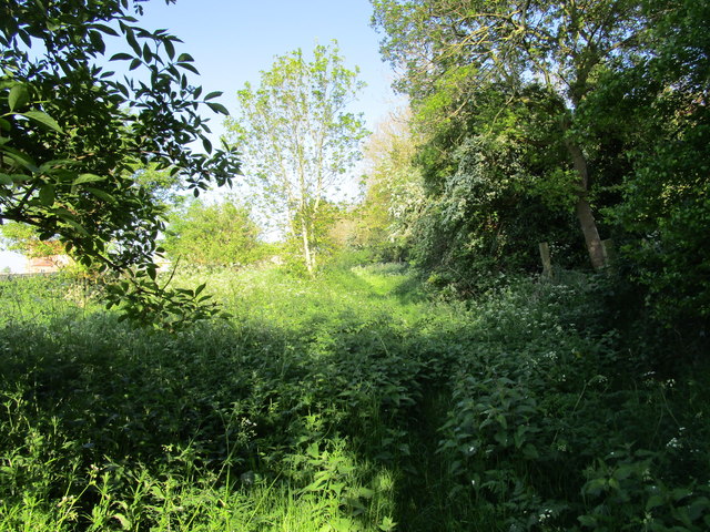
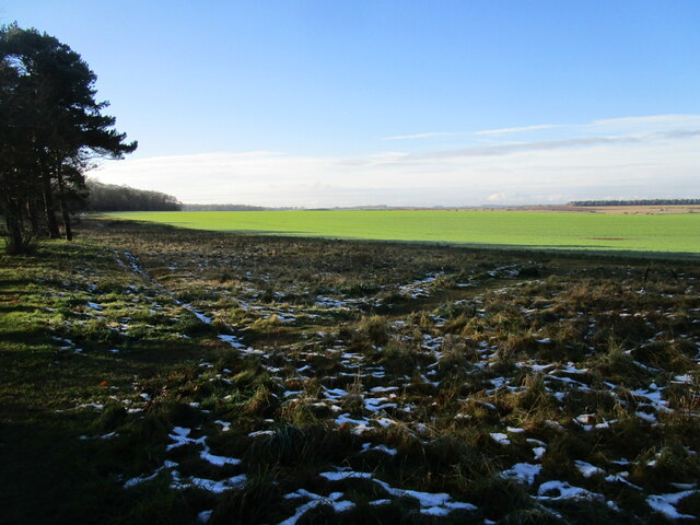
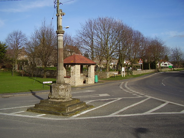
Cranwell, Brauncewell and Byard's Leap Images

Images are sourced within 2km of 53.045036/-0.477359 or Grid Reference TF0250. Thanks to Geograph Open Source API. All images are credited.

A15 heading North
A15 heading North
Oxenford Farm, Willow Lane, Cranwell
Beet Harvest Washed and waiting to be uplifted by the lorry to the Beet Factory
Beet Harvest
Washed and waiting to be uplifted by the lorry to the Beet Factory
Farmland near Brauncewell
A minor road
A minor road
Looking toward Moor Wood
Looking toward Leadenham
Permissive path off Willow Lane Not marked on OS.
Permissive path off Willow Lane
Not marked on OS.
Disputed footpath Marked as a footpath on older OS maps but not on more recent ones. Nonetheless it is waymarked from the western end and stiles are in place. However it is little used (four stiles in a very short distance is not encouraging) and the landowner is seeking to have it formally closed. An alternative permissive path a little to the north is available.
Disputed footpath
Marked as a footpath on older OS maps but not on more recent ones. Nonetheless it is waymarked from the western end and stiles are in place. However it is little used (four stiles in a very short distance is not encouraging) and the landowner is seeking to have it formally closed. An alternative permissive path a little to the north is available.
The A15, Dunsby
The A15, Dunsby
Autumn sown crop near Brauncewell
Sugar beet loading area Waiting for the call to the Newark sugar factory.
Sugar beet loading area
Waiting for the call to the Newark sugar factory.
Snow by the path under the trees Snow fell on 4th December and most quickly disappeared but some still lingers here 48 hours after it fell.
Snow by the path under the trees
Snow fell on 4th December and most quickly disappeared but some still lingers here 48 hours after it fell.
Autumn sown crop Lord Bristol's Plantation on the left. A little snow lingering from two days ago.
Autumn sown crop
Lord Bristol's Plantation on the left. A little snow lingering from two days ago.
Brauncewell trig looking east
Dunsby DMV Sheep grazing in what was once the medieval village of Dunsby
Dunsby DMV
Sheep grazing in what was once the medieval village of Dunsby
Old School? The 1940s OS map shows a school being located here.  The chimneys in the trees could be part of this?
Old School?
The 1940s OS map shows a school being located here. The chimneys in the trees could be part of this?
Bridleway to Cranwell This surfaced bridleway leads to RAF Cranwell which is just beyond the trees on the horizon.
Bridleway to Cranwell
This surfaced bridleway leads to RAF Cranwell which is just beyond the trees on the horizon.
Show me another place!

Cranwell, Brauncewell and Byard's Leap is located at Grid Ref: TF0250 (Lat: 53.045036, Lng: -0.477359)

Administrative County: Lincolnshire

District: North Kesteven

Police Authority: Lincolnshire

What 3 Words

///lushly.embers.flicks. Near Cranwell, Lincolnshire

Related Wikis

Cranwell

Cranwell is a village in the civil parish of Cranwell, Brauncewell and Byard's Leap, in the North Kesteven district of Lincolnshire, England. It is situated...

Brauncewell

Brauncewell is a hamlet and former civil parish in the North Kesteven district of Lincolnshire, England. From the census 2011 the population is included...

Sleaford and North Hykeham (UK Parliament constituency)

Sleaford and North Hykeham is a parliamentary constituency in Lincolnshire, England which elects a single Member of Parliament (MP) to the House of Commons...

RAF Cranwell

Royal Air Force Cranwell or more simply RAF Cranwell (ICAO: EGYD) is a Royal Air Force station in Lincolnshire, England, close to the village of Cranwell...

Nearby Amenities

Located within 500m of 53.045036,-0.477359
Ele: 37.0000000
Lat/Long: 53.0445703/-0.4706769
Ele: 40.0000000
Lat/Long: 53.0470953/-0.4711543
The data included in this document is from www.openstreetmap.org. The data is made available under ODbL.

Have you been to Cranwell, Brauncewell and Byard's Leap?

Leave your review of Cranwell, Brauncewell and Byard's Leap below (or comments, questions and feedback).