Cranleigh

Civil Parish in Surrey Waverley

England

Cranleigh

Cranleigh Bowling Club: late August 2021 That great bowls exponent Francis Drake is joined this month on the great green in the sky by: August 15th, my first footballing hero, Gerd Muller; August 20th, Peter Corby, inventor of the legendary Trouser Press; 21st, Don Everly, one half of the famous brothers; 24th, Charlie Watts, the most sensible Rolling Stone; and on the 29th Reggae’s Lee "Scratch" Perry
Cranleigh Bowling Club: late August 2021 Credit: Basher Eyre

Cranleigh is a civil parish located in the district of Waverley in Surrey, England. Situated about 8 miles southeast of Guildford, it is the largest village in the county. Covering an area of approximately 8.5 square miles, Cranleigh is surrounded by picturesque countryside, including the Surrey Hills Area of Outstanding Natural Beauty.

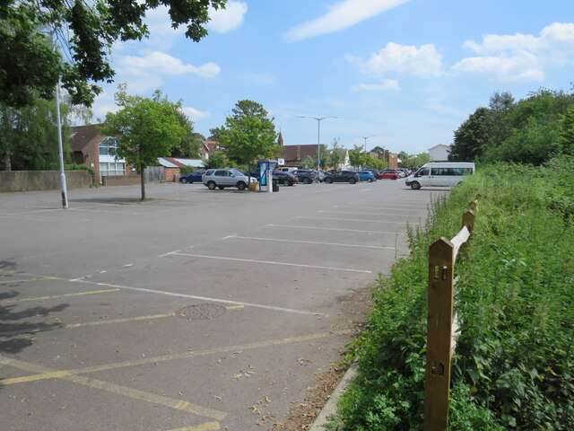
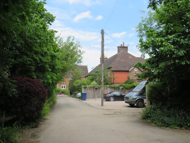
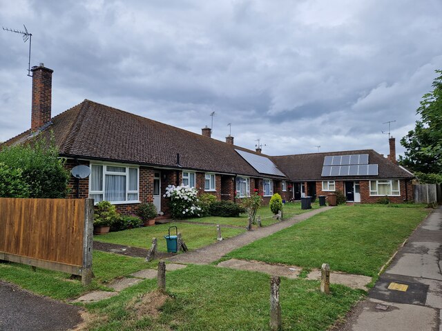
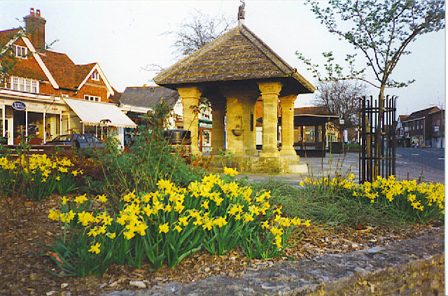
The village has a population of around 12,000 people, making it a thriving community with a range of amenities and services. It has a bustling high street, lined with a variety of independent shops, cafes, and restaurants, as well as a supermarket and other essential services. The vibrant community is further enhanced by several local clubs, societies, and organizations that cater to various interests and age groups.

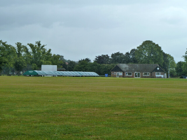
Cranleigh boasts excellent educational facilities, including a primary school, a secondary school, and a private boarding school. It also has a medical center, a library, and a leisure center with various sports facilities and a swimming pool.

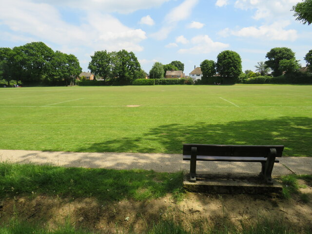
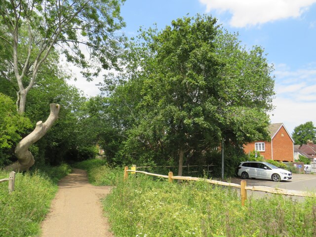
The surrounding countryside offers numerous opportunities for outdoor activities, such as walking, cycling, and horse riding. There are several parks, nature reserves, and recreational areas nearby, providing ample green spaces for the residents to enjoy.

Transport links in Cranleigh are well-developed, with regular bus services connecting the village to nearby towns and villages. The A281 road runs through the parish, providing convenient access to Guildford and Horsham.

Overall, Cranleigh is a vibrant and picturesque village that offers a high quality of life, combining the charm of rural living with easy access to essential amenities and services.

If you have any feedback on the listing, please let us know in the comments section below.
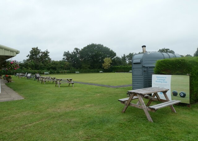
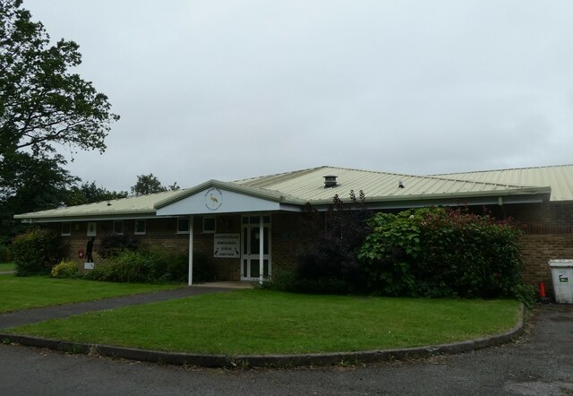
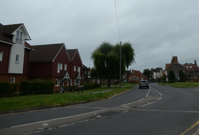
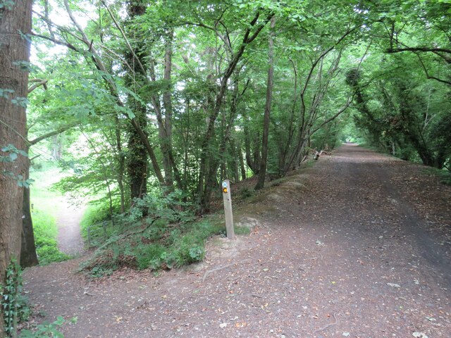
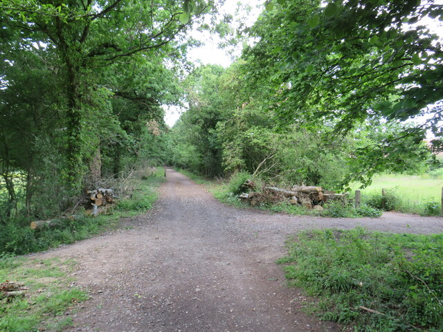
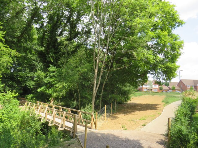
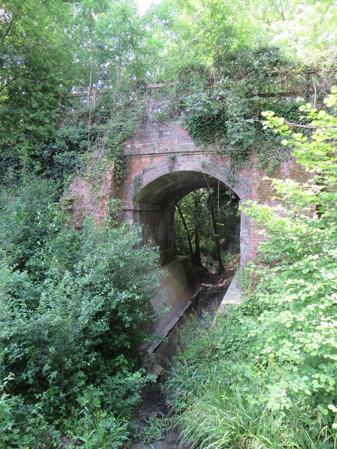
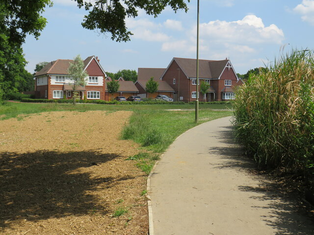
Cranleigh Images

Images are sourced within 2km of 51.136396/-0.484858 or Grid Reference TQ0638. Thanks to Geograph Open Source API. All images are credited.

Cranleigh Bowling Club: late August 2021 That great bowls exponent Francis Drake is joined this month on the great green in the sky by: August 15th, my first footballing hero, Gerd Muller; August 20th, Peter Corby, inventor of the legendary Trouser Press; 21st, Don Everly, one half of the famous brothers; 24th, Charlie Watts, the most sensible Rolling Stone; and on the 29th Reggae’s Lee "Scratch" Perry
Cranleigh Bowling Club: late August 2021
That great bowls exponent Francis Drake is joined this month on the great green in the sky by: August 15th, my first footballing hero, Gerd Muller; August 20th, Peter Corby, inventor of the legendary Trouser Press; 21st, Don Everly, one half of the famous brothers; 24th, Charlie Watts, the most sensible Rolling Stone; and on the 29th Reggae’s Lee "Scratch" Perry
Cranleigh Sports & Social Club: late August 2021 The news here in Cranleigh is that sport is back. Elsewhere: August 4th 2020 Belarusian sprinter Krystsina Tsimanouskaya is given political asylum in Poland after claims her Olympic Committee wanted to repatriate her against her will; August 9th, the Intergovernmental Panel on Climate Change releases the first part of its Sixth Assessment Report, which concludes that the effects of human-caused climate change are now "widespread, rapid, and intensifying";  14th, a 7.2-magnitude earthquake strikes Haiti, killing more than 2,100 people; 15th to 30th, 2021 the Taliban capture Kabul and the Afghan government surrenders;  30 the USA withdraws its last remaining troops ending 20 years of operations in Afghanistan; August 31st, Dame Sarah Storey equals the all time Paralympic medal haul!
Cranleigh Sports & Social Club: late August 2021
The news here in Cranleigh is that sport is back. Elsewhere: August 4th 2020 Belarusian sprinter Krystsina Tsimanouskaya is given political asylum in Poland after claims her Olympic Committee wanted to repatriate her against her will; August 9th, the Intergovernmental Panel on Climate Change releases the first part of its Sixth Assessment Report, which concludes that the effects of human-caused climate change are now "widespread, rapid, and intensifying"; 14th, a 7.2-magnitude earthquake strikes Haiti, killing more than 2,100 people; 15th to 30th, 2021 the Taliban capture Kabul and the Afghan government surrenders; 30 the USA withdraws its last remaining troops ending 20 years of operations in Afghanistan; August 31st, Dame Sarah Storey equals the all time Paralympic medal haul!
Another dull August day in 2021 Elsewhere, there were record temperatures but here in the UK it was pretty mild. That night Meridian Weather announced the monthly average temperature was 20.6, rainfall 51.6mm, cloud cover 67% and hours of sunshine 136.7. The Met Office summaries for August 2021 and Summer 2021 can be found here <span class="nowrap"><a title="https://www.metoffice.gov.uk/binaries/content/assets/metofficegovuk/pdf/weather/learn-about/uk-past-events/summaries/uk_monthly_climate_summary_202108.pdf" rel="nofollow ugc noopener" href="https://www.metoffice.gov.uk/binaries/content/assets/metofficegovuk/pdf/weather/learn-about/uk-past-events/summaries/uk_monthly_climate_summary_202108.pdf">Link</a><img style="margin-left:2px;" alt="External link" title="External link - shift click to open in new window" src="https://s1.geograph.org.uk/img/external.png" width="10" height="10"/></span> and here <span class="nowrap"><a title="https://www.metoffice.gov.uk/binaries/content/assets/metofficegovuk/pdf/weather/learn-about/uk-past-events/summaries/uk_monthly_climate_summary_summer_2021.pdf" rel="nofollow ugc noopener" href="https://www.metoffice.gov.uk/binaries/content/assets/metofficegovuk/pdf/weather/learn-about/uk-past-events/summaries/uk_monthly_climate_summary_summer_2021.pdf">Link</a><img style="margin-left:2px;" alt="External link" title="External link - shift click to open in new window" src="https://s1.geograph.org.uk/img/external.png" width="10" height="10"/></span>
Another dull August day in 2021
Elsewhere, there were record temperatures but here in the UK it was pretty mild. That night Meridian Weather announced the monthly average temperature was 20.6, rainfall 51.6mm, cloud cover 67% and hours of sunshine 136.7. The Met Office summaries for August 2021 and Summer 2021 can be found here LinkExternal link and here LinkExternal link
Downs Link near Cranleigh The Downs Link path follows a dismantled railway line for most of its length.  It also forms part of route 223 of the National Cycle Network.  Here, the former railway line ran along an embankment.  A footpath descends to the left.
Downs Link near Cranleigh
The Downs Link path follows a dismantled railway line for most of its length. It also forms part of route 223 of the National Cycle Network. Here, the former railway line ran along an embankment. A footpath descends to the left.
Downs Link near Cranleigh The Downs Link path follows a dismantled railway line for most of its length.  It also forms part of route 223 of the National Cycle Network.
Downs Link near Cranleigh
The Downs Link path follows a dismantled railway line for most of its length. It also forms part of route 223 of the National Cycle Network.
Path to Dapples Lane, Cranleigh A path leading into a new housing development in Cranleigh, in Surrey.  The wooden bridge to the left takes another path across a stream.
Path to Dapples Lane, Cranleigh
A path leading into a new housing development in Cranleigh, in Surrey. The wooden bridge to the left takes another path across a stream.
Bridge over a stream, Cranleigh The bridge was built to carry a railway line across a stream on the outskirts of Cranleigh.  The railway closed in 1965 and was dismantled, but the Downs Link path now follows the railway alignment, crossing the bridge.  Downs Link also forms part of route 223 of the National Cycle Network.
Bridge over a stream, Cranleigh
The bridge was built to carry a railway line across a stream on the outskirts of Cranleigh. The railway closed in 1965 and was dismantled, but the Downs Link path now follows the railway alignment, crossing the bridge. Downs Link also forms part of route 223 of the National Cycle Network.
Footpath to Dapples Lane, Cranleigh A path leading into a new housing development on the outskirts of Cranleigh, in Surrey.
Footpath to Dapples Lane, Cranleigh
A path leading into a new housing development on the outskirts of Cranleigh, in Surrey.
Recreation ground in Cranleigh A bench seat looking out across a recreation ground in Cranleigh, in Surrey.
Recreation ground in Cranleigh
A bench seat looking out across a recreation ground in Cranleigh, in Surrey.
Downs Link, Cranleigh The Downs Link path follows a dismantled railway line for most of its length.  It also forms part of route 223 of the National Cycle Network.

In this view, the path is passing through the town of Cranleigh.  The building to the right is a sports pavilion.
Downs Link, Cranleigh
The Downs Link path follows a dismantled railway line for most of its length. It also forms part of route 223 of the National Cycle Network. In this view, the path is passing through the town of Cranleigh. The building to the right is a sports pavilion.
Downs Link, Cranleigh The Downs Link path follows a dismantled railway line for most of its length.  It also forms part of route 223 of the National Cycle Network.

Here in Cranleigh a very short section of the route is also an access road to a car park.
Downs Link, Cranleigh
The Downs Link path follows a dismantled railway line for most of its length. It also forms part of route 223 of the National Cycle Network. Here in Cranleigh a very short section of the route is also an access road to a car park.
Downs Link, Cranleigh The Downs Link path follows a dismantled railway line for most of its length.  It also forms part of route 223 of the National Cycle Network.
Downs Link, Cranleigh
The Downs Link path follows a dismantled railway line for most of its length. It also forms part of route 223 of the National Cycle Network.
Downs Link, Cranleigh The Downs Link path follows a dismantled railway line for most of its length.  It also forms part of route 223 of the National Cycle Network.

Here in Cranleigh, a supermarket and car park occupy the site of the town's railway station.  The path skirts the site then rejoins the former railway alignment.
Downs Link, Cranleigh
The Downs Link path follows a dismantled railway line for most of its length. It also forms part of route 223 of the National Cycle Network. Here in Cranleigh, a supermarket and car park occupy the site of the town's railway station. The path skirts the site then rejoins the former railway alignment.
Supermarket car park, Cranleigh A supermarket car park now occupies the site of Cranleigh station's goods yard.  The station and the railway line which passed through it closed in 1965.
Supermarket car park, Cranleigh
A supermarket car park now occupies the site of Cranleigh station's goods yard. The station and the railway line which passed through it closed in 1965.
The Common, Cranleigh Houses along a lane on Cranleigh Common.
The Common, Cranleigh
Houses along a lane on Cranleigh Common.
Downs Link, near Cranleigh The Downs Link path follows a dismantled railway line for most of its length.  It also forms part of route 223 of the National Cycle Network.

Here, a bridge carries a 'B' road over the former railway line.
Downs Link, near Cranleigh
The Downs Link path follows a dismantled railway line for most of its length. It also forms part of route 223 of the National Cycle Network. Here, a bridge carries a 'B' road over the former railway line.
Bungalows at the top of Church Lane
Cricket field, Cranleigh Common land.
Cricket field, Cranleigh
Common land.
Show me another place!

Cranleigh is located at Grid Ref: TQ0638 (Lat: 51.136396, Lng: -0.484858)

Administrative County: Surrey

District: Waverley

Police Authority: Surrey

What 3 Words

///torn.garlic.campfires. Near Cranleigh, Surrey

Nearby Locations

Cranleigh

Related Wikis

Cranleigh

Cranleigh is a village and civil parish, about 8 miles (13 km) southeast of Guildford in Surrey, England. It lies on a minor road east of the A281, which...

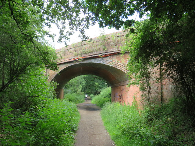
Cranleigh railway station

Cranleigh was a railway station on the Cranleigh Line between Guildford and Horsham. It served the village of Cranleigh, Surrey in southern England....

Glebelands School

Glebelands School is a county-funded and charity-supported secondary school in Cranleigh, Surrey, England. It is co-educational and takes students aged...

Cranleigh School

Cranleigh School is a public school (English fee-charging boarding and day school) in the village of Cranleigh, Surrey. == History == It was opened on...

Longhurst Lodge

Longhurst Lodge is a Grade II listed building in Cranleigh, Surrey, England. It is located on the former Baynards Park estate, about a quarter of a mile...

Sayer's Croft LNR

Sayer's Croft is a 10.9-hectare (27-acre) Local Nature Reserve west of Ewhurst in Surrey. It is owned by the Sayer's Croft Environmental Education Trust...

Sayers Croft

Sayers Croft is a large outdoor 'learning camp' located in the village of Ewhurst, Surrey. It is one of the few remaining 'Camp schools' built by the National...

Baynards Park

Baynards Park is a 2,000 acres (810 ha) estate and site of a demolished country house with extant outbuildings, privately owned, in the south of the parishes...

Nearby Amenities

Located within 500m of 51.136396,-0.484858
Oaklands
Building: yes
Source: npe
Lat/Long: 51.135893/-0.4891661
Post Box
Post Box Type: lamp
Postal Code: GU6
Ref: GU6 280
Lat/Long: 51.1386063/-0.4795079
Telephone
Phone: +44 1483 272723
Lat/Long: 51.1349125/-0.4803621
Post Box
Postal Code: GU6
Ref: GU6 92
Lat/Long: 51.1348611/-0.4803031
Post Box
Postal Code: GU6
Ref: GU6 291
Lat/Long: 51.1356946/-0.4848292
Bus Stop
Avenue Road
Bus: yes
Naptan AtcoCode: 40004411035A
Naptan Bearing: S
Naptan CommonName: Avenue Road
Naptan Indicator: Just Before
Naptan Landmark: Avenue Road
Naptan NaptanCode: surdtgpj
Naptan Street: Horsham Road
Naptan Verified: no
Public Transport: platform
Source: naptan_import
Lat/Long: 51.1351339/-0.4804455
Bus Stop
Avenue Road
Bus: yes
Naptan AtcoCode: 40004411035B
Naptan Bearing: N
Naptan CommonName: Avenue Road
Naptan Indicator: Opp
Naptan Landmark: Avenue Road
Naptan NaptanCode: surdtgpm
Naptan Street: Horsham Road
Naptan Verified: no
Public Transport: platform
Source: naptan_import
Lat/Long: 51.1348184/-0.480546
Bus Stop
Hitherwood
Bus: yes
Naptan AtcoCode: 40004411036A
Naptan Bearing: SE
Naptan CommonName: Hitherwood
Naptan Indicator: Just after
Naptan Landmark: Hitherwood
Naptan NaptanCode: surdtgpt
Naptan Street: Horsham Road
Naptan Verified: no
Public Transport: platform
Source: naptan_import
Lat/Long: 51.1381556/-0.4812774
Bus Stop
Hitherwood
Bus: yes
Naptan AtcoCode: 40004411036B
Naptan Bearing: N
Naptan CommonName: Hitherwood
Naptan Indicator: Just Before
Naptan Landmark: Hitherwood
Naptan NaptanCode: surdtgpw
Naptan Street: Horsham Road
Naptan Verified: no
Public Transport: platform
Shelter: yes
Source: naptan_import
Lat/Long: 51.137998/-0.4813606
Bus Stop
Cranleigh Hospital
Bus: yes
Naptan AtcoCode: 40004411037A
Naptan Bearing: E
Naptan CommonName: Cranleigh Hospital
Naptan Indicator: Opp
Naptan Landmark: Cranleigh Hospital
Naptan NaptanCode: surdtgta
Naptan Street: High Street
Naptan Verified: no
Public Transport: platform
Source: naptan_import
Lat/Long: 51.1407805/-0.4858341
Bus Stop
Cranleigh Hospital
Bus: yes
Naptan AtcoCode: 40004411065A
Naptan Bearing: W
Naptan CommonName: Cranleigh Hospital
Naptan Indicator: adj
Naptan Landmark: Cranleigh Hospital
Naptan NaptanCode: surdtjpd
Naptan Street: High Street
Naptan Verified: no
Public Transport: platform
Source: naptan_import
Lat/Long: 51.1406919/-0.4868891
Veterinary
Yew Tree Veterinary Centre
Lat/Long: 51.1406337/-0.4848296
Smithy - Cranleigh Blacksmiths
Shop: hardware
Lat/Long: 51.140458/-0.483455
Cranleigh Fiotball Club and Playing Fields
Sport: soccer
Lat/Long: 51.1378622/-0.489901
Noexit: yes
Lat/Long: 51.1399246/-0.4867712
Crossing
Crossing: traffic_signals
Crossing Ref: pelican
Lat/Long: 51.1407444/-0.4863836
Fire Hydrant
Emergency: fire_hydrant
Lat/Long: 51.1347841/-0.4802611
Barrier: bollard
Bicycle: yes
Foot: yes
Lat/Long: 51.140565/-0.4867361
Mini Roundabout
Direction: clockwise
Lat/Long: 51.140695/-0.4853945
Fuel
Shell
Addr City: Cranleigh
Addr County: Surrey
Addr Housenumber: 2
Addr Postcode: GU6 8AE
Addr Street: High Street
Brand: Shell
Brand Wikidata: Q110716465
Fhrs Id: 221518
Old Name: Esso
Source: survey
Source Addr: FHRS Open Data
Website: https://find.shell.com/gb/fuel/12769643-little-manor-service-station
Lat/Long: 51.1405583/-0.485457
Historic: monument
Landmark: obelisk
Lat/Long: 51.1407052/-0.4851834
Citizens Advice Bureau
Information: office
Lat/Long: 51.1393704/-0.4883801
Toilets
Fee: no
Lat/Long: 51.139885/-0.4881915
Parking
Fee: yes
Motorcycle: designated
Vehicle: no
Lat/Long: 51.1402263/-0.4878064
Bicycle Parking
Bicycle Parking: stands
Capacity: 8
Covered: no
Lat/Long: 51.1402355/-0.4879161
Recycling
Recycling containers
Addr City: Cranleigh
Addr Postcode: GU6 8AF
Addr Street: Village Way
Recycling Cans: yes
Recycling Cardboard: yes
Recycling Cartons: yes
Recycling Clothes: yes
Recycling Foil: yes
Recycling Glass: yes
Recycling Paper: yes
Recycling Plastic Bottles: yes
Recycling Plastic Packaging: yes
Recycling Small Appliances: yes
Recycling Type: container
Lat/Long: 51.1401112/-0.4868662
Historic: memorial
Lat/Long: 51.1380789/-0.485817
Defibrillator
Colour: yellow and green
Defibrillator Location: Outdoor.
Emergency: defibrillator
Indoor: no
Opening Hours: 24/7
Source: survey
Survey Point: 2022-09-22
Lat/Long: 51.1406106/-0.4866067
Little Manor
Addr City: Cranleigh
Addr Street: High Street
Description: This is the shop at the Shell petrol station.
Shop: yes
Source: survey
Survey Date: 2022-09-22
Lat/Long: 51.1405126/-0.4855299
Addr Housename: Craneswood
Lat/Long: 51.1331837/-0.4888052
Addr Housename: Redhurst
Lat/Long: 51.1332036/-0.4886191
Barrier: stile
Bicycle: no
Foot: yes
Horse: no
Material: wood
Motor Vehicle: no
Stile: squeezer
Lat/Long: 51.1381552/-0.4907543
Barrier: height_restrictor
Maxheight: 2.1
Lat/Long: 51.13821/-0.4912178
The data included in this document is from www.openstreetmap.org. The data is made available under ODbL.

Have you been to Cranleigh?

Leave your review of Cranleigh below (or comments, questions and feedback).