Cranborne
Civil Parish in Dorset East Dorset
England
Cranborne
Cranborne is a civil parish located in the county of Dorset, England. It is situated in the Cranborne Chase Area of Outstanding Natural Beauty, making it a picturesque and sought-after area for both residents and tourists. The parish covers an area of approximately 30 square kilometers and is home to a population of around 800 people.
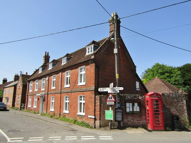
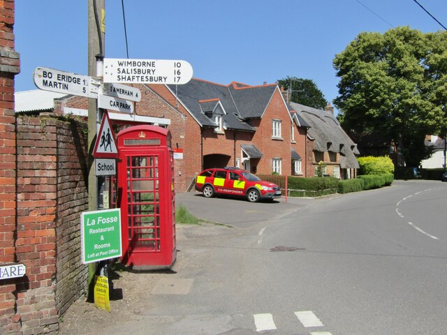
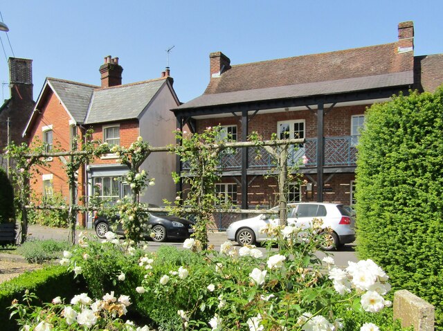
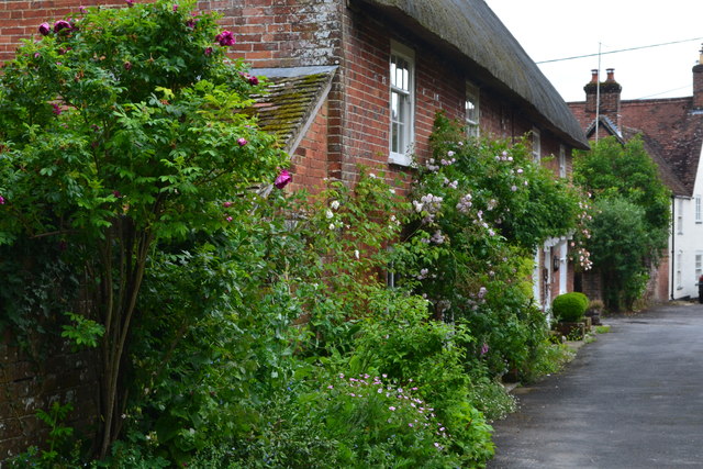
The village of Cranborne, which gives the parish its name, is a charming and historic settlement with a rich heritage. It dates back to the Saxon era and was once an important market town. Today, it retains much of its medieval character with its narrow streets, thatched cottages, and historic buildings, including the Cranborne Manor, which has been occupied by the same family for over 400 years.
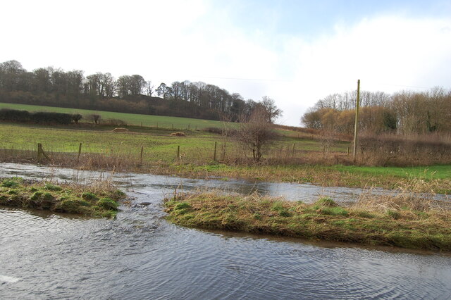
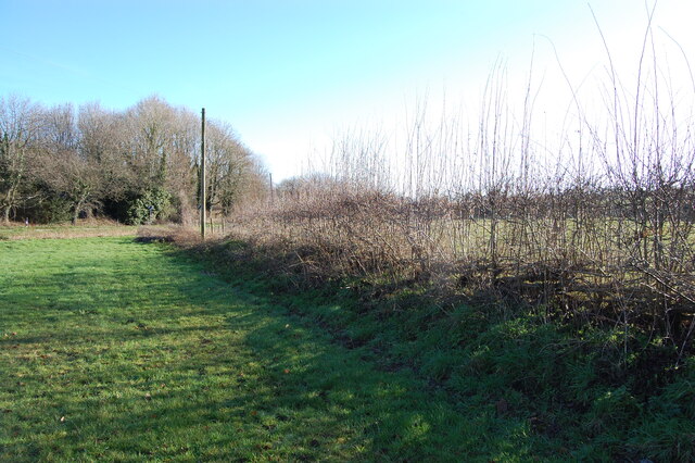
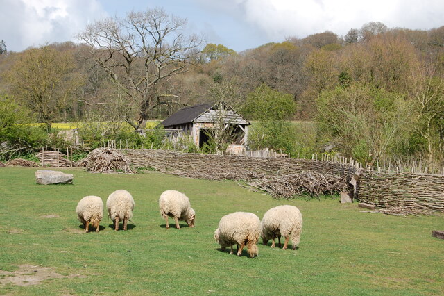
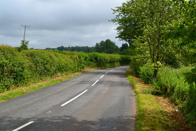
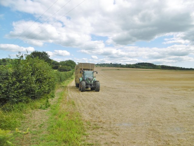
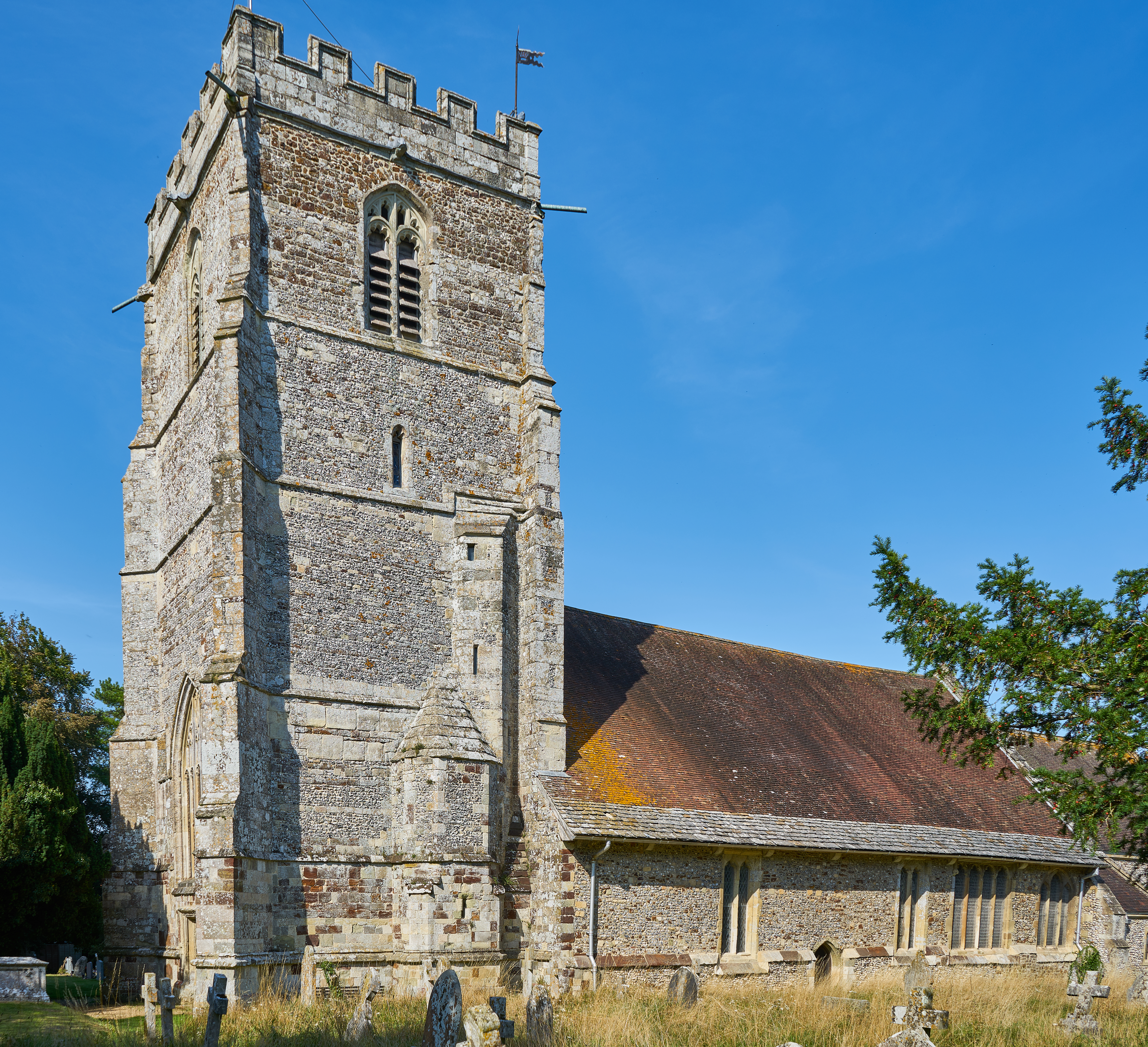
The surrounding countryside of Cranborne is renowned for its natural beauty and offers a range of outdoor activities for visitors to enjoy. The Cranborne Chase is an area of rolling hills, ancient woodlands, and open heathland, providing ample opportunities for walking, cycling, and wildlife spotting. The parish is also home to a number of historic sites, such as the Iron Age hill fort of Dudsbury Camp and the Norman Church of St. Mary and St. Bartholomew.
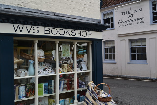
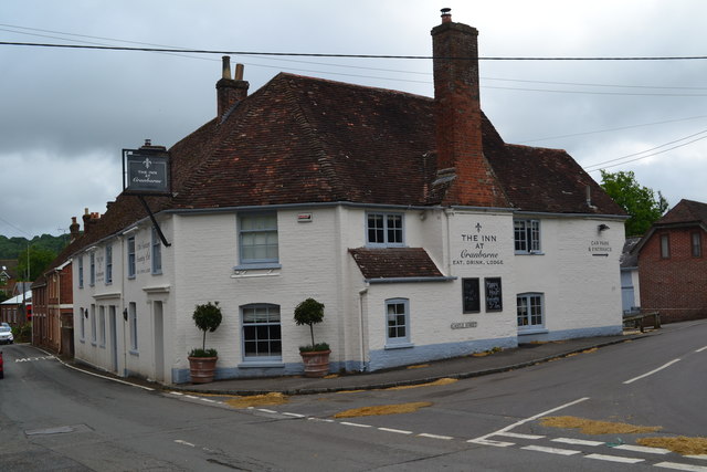
Cranborne is well-served by local amenities, including a village shop, pub, and primary school. It is also within easy reach of larger towns such as Bournemouth, Salisbury, and Southampton, offering a wider range of services and amenities. Overall, Cranborne is a charming and idyllic parish, offering a mix of history, natural beauty, and rural tranquility.
If you have any feedback on the listing, please let us know in the comments section below.
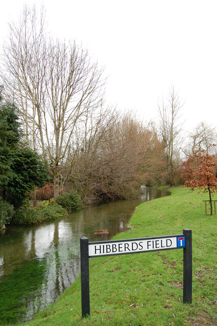
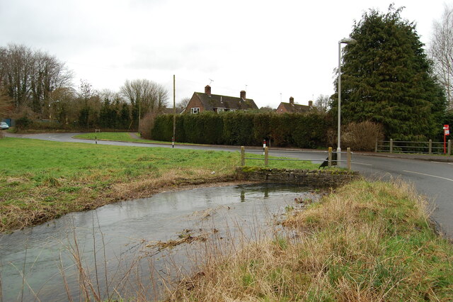
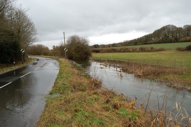
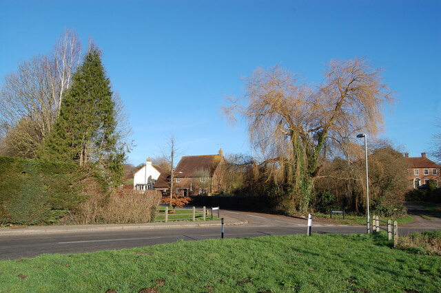
Cranborne Images
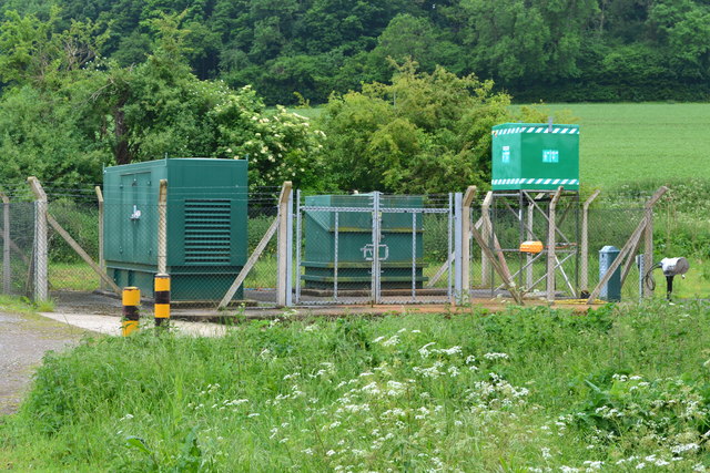
Images are sourced within 2km of 50.931822/-1.91843 or Grid Reference SU0514. Thanks to Geograph Open Source API. All images are credited.

Cranborne is located at Grid Ref: SU0514 (Lat: 50.931822, Lng: -1.91843)
Administrative County: Dorset
District: East Dorset
Police Authority: Dorset
What 3 Words
///narrates.dude.oxidation. Near Alderholt, Dorset
Nearby Locations
Related Wikis

St Aldhelm's Church, Boveridge
St Aldhelm's Church is a former Church of England church in Boveridge, Dorset, England. It was built at the expense of Richard Brouncker in 1838 and became...

Boveridge
Boveridge is a hamlet in Dorset, England about 1 mile (1.6 km) north of Cranborne, 12 miles (19 km) south-west of Salisbury, Wiltshire, and 10 miles (16...

Cranborne Hundred
Cranborne Hundred was a hundred in the county of Dorset, England, containing the following parishes: Ashmore Belchalwell (divided between Okeford Fitzpaine...
Cranborne
Cranborne is a village in East Dorset, England. At the 2011 census, the parish had a population of 779, remaining unchanged from 2001. The appropriate...
Nearby Amenities
Located within 500m of 50.931822,-1.91843Have you been to Cranborne?
Leave your review of Cranborne below (or comments, questions and feedback).