Cotton

Civil Parish in Staffordshire Staffordshire Moorlands

England

Cotton

View from Ellastone Road at Windy Harbour Looking north east with the low buildings of Moorend Farm in the centre ahead. A plume of smoke is coming from the cement works at Cauldon with its enormous limestone quarry eating up Cauldon Low - the high area to the right of the shot. On the left emerging from behind a tree is the row of cottages on Stony Lane, Moorend which are also seen in <a href="https://www.geograph.org.uk/photo/2966784">SK0648 : Terraced houses at Stony Lane, Moorend</a> and <a href="https://www.geograph.org.uk/photo/4458833">SK0648 : Terraced houses on Stony Lane</a>
View from Ellastone Road at Windy Harbour Credit: Trevor Harris

Cotton is a civil parish located in the county of Staffordshire, England. It is situated approximately 7 miles east of Stafford, the county town, and lies within the Staffordshire Moorlands district. The parish covers an area of around 2 square miles and is predominantly rural in nature.

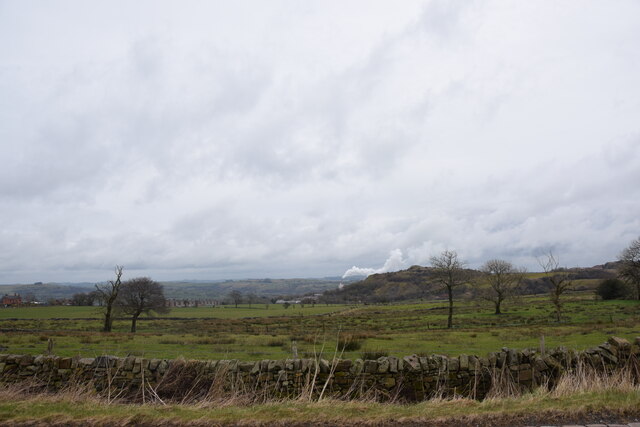
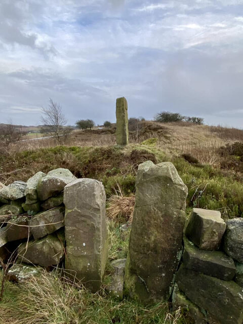
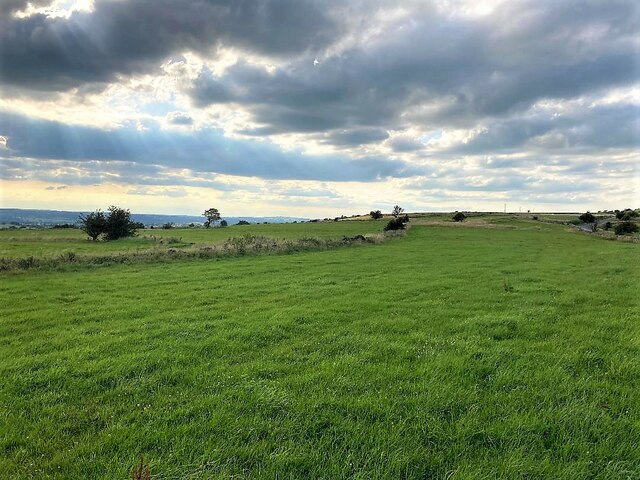
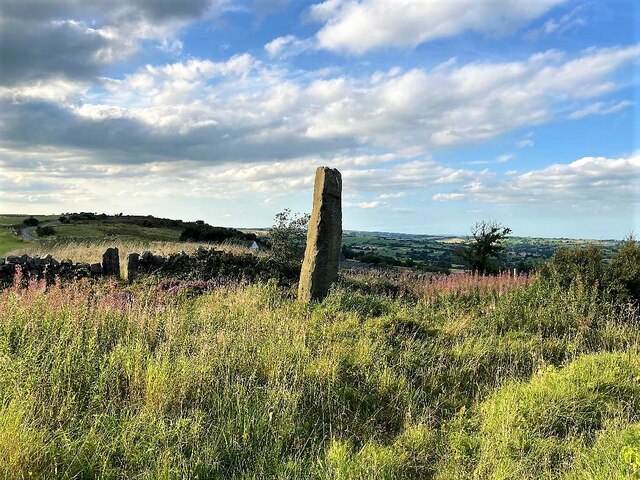
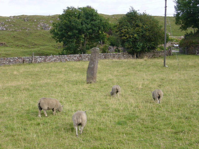
Cotton is a small village with a population of around 200 residents. It is surrounded by picturesque countryside, with rolling hills and farmland that contribute to the area's scenic beauty. The village is characterized by its charming historic buildings, many of which date back several centuries.

The centerpiece of Cotton is the Church of St. John the Baptist, a Grade II listed building that dates back to the 13th century. This beautiful church is an important landmark in the area and attracts visitors from both near and far.

Despite its small size, Cotton has a strong sense of community, with various activities and events organized throughout the year. The village hall serves as a hub for community gatherings, hosting everything from local meetings to social events.

Cotton is well connected to the surrounding areas by road, with the A518 running nearby, providing easy access to Stafford and other nearby towns and villages. While it may lack some of the amenities found in larger settlements, Cotton offers a peaceful and close-knit community environment for its residents.

If you have any feedback on the listing, please let us know in the comments section below.
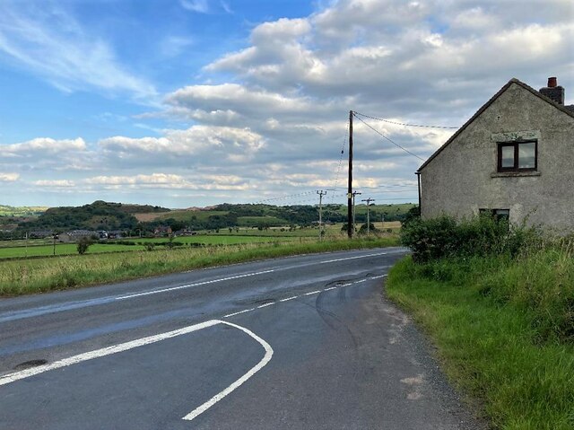
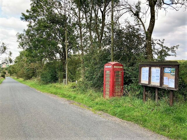
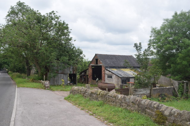
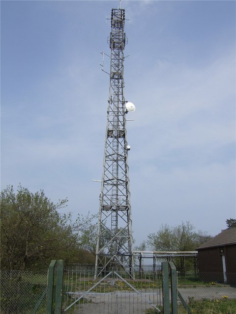
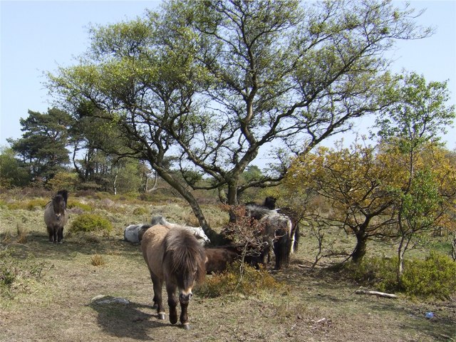
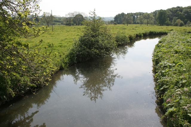
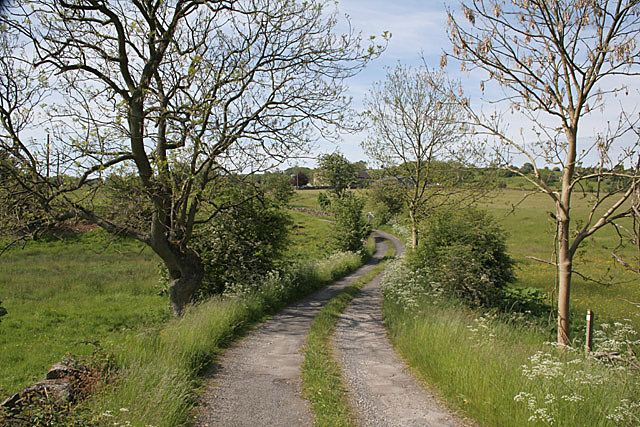
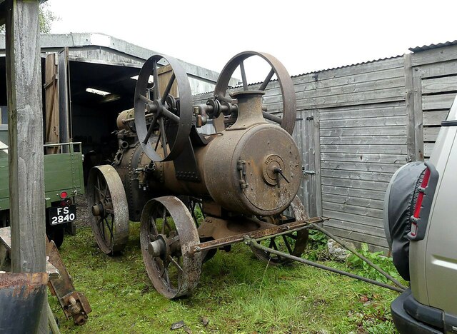
Cotton Images

Images are sourced within 2km of 53.03784/-1.914616 or Grid Reference SK0548. Thanks to Geograph Open Source API. All images are credited.

View from Ellastone Road at Windy Harbour Looking north east with the low buildings of Moorend Farm in the centre ahead. A plume of smoke is coming from the cement works at Cauldon with its enormous limestone quarry eating up Cauldon Low - the high area to the right of the shot. On the left emerging from behind a tree is the row of cottages on Stony Lane, Moorend which are also seen in <a href="https://www.geograph.org.uk/photo/2966784">SK0648 : Terraced houses at Stony Lane, Moorend</a> and <a href="https://www.geograph.org.uk/photo/4458833">SK0648 : Terraced houses on Stony Lane</a>
View from Ellastone Road at Windy Harbour
Looking north east with the low buildings of Moorend Farm in the centre ahead. A plume of smoke is coming from the cement works at Cauldon with its enormous limestone quarry eating up Cauldon Low - the high area to the right of the shot. On the left emerging from behind a tree is the row of cottages on Stony Lane, Moorend which are also seen in SK0648 : Terraced houses at Stony Lane, Moorend and SK0648 : Terraced houses on Stony Lane
Waymarker Stone and Stile at Windyway Cross On Staffordshire footpath Cotton 32 looking SE, the view NW is <a href="https://www.geograph.org.uk/photo/2966886">SK0548 : Footpath junction near the standing / guide stone</a>. The Stone was used as a guide to the packhorse route over dryer ground, explained in <span class="nowrap"><a title="https://churnet-valley.guide/heritage/windyway-cross?fbclid=IwAR0E02aCH-ARG-sH6i2Y7BAZwZqp3X6NmC6uE-vPdJT660MHIvJJ8O8xUjE" rel="nofollow ugc noopener" href="https://churnet-valley.guide/heritage/windyway-cross?fbclid=IwAR0E02aCH-ARG-sH6i2Y7BAZwZqp3X6NmC6uE-vPdJT660MHIvJJ8O8xUjE">Link</a><img style="margin-left:2px;" alt="External link" title="External link - shift click to open in new window" src="https://s1.geograph.org.uk/img/external.png" width="10" height="10"/></span> .
Copper was transported from Ecton to the smelting works at Whiston <span class="nowrap"><a title="https://maps.nls.uk/geo/explore/#zoom=17.0&lat=53.02201&lon=-1.94133&layers=168&b=1&marker=53.022080313486065,-1.941266188458469" rel="nofollow ugc noopener" href="https://maps.nls.uk/geo/explore/#zoom=17.0&lat=53.02201&lon=-1.94133&layers=168&b=1&marker=53.022080313486065,-1.941266188458469">Link</a><img style="margin-left:2px;" alt="External link" title="External link - shift click to open in new window" src="https://s1.geograph.org.uk/img/external.png" width="10" height="10"/></span> which became disused around 1880/98.

Milestone Society National ID: ST_XIPS
Waymarker Stone and Stile at Windyway Cross
On Staffordshire footpath Cotton 32 looking SE, the view NW is SK0548 : Footpath junction near the standing / guide stone. The Stone was used as a guide to the packhorse route over dryer ground, explained in LinkExternal link . Copper was transported from Ecton to the smelting works at Whiston LinkExternal link which became disused around 1880/98. Milestone Society National ID: ST_XIPS
Grazing Land on Ipstones Edge Looking towards Black Heath from a spot close to the old copper route waymarker stone. The views from Ipstones Edge are outstanding and the Welsh mountains can be discerned on a good day.
Grazing Land on Ipstones Edge
Looking towards Black Heath from a spot close to the old copper route waymarker stone. The views from Ipstones Edge are outstanding and the Welsh mountains can be discerned on a good day.
Waymarker Stone at Windywaycross This impressive stone stands at 8 feet high and was originally used to guide pack horse trains over drier ground from the copper mines at Ecton to the smelting works at Whiston.  It was more cost effective to bring the copper ore to Whiston, where coal for smelting was available from the Foxt and Kingsley coalfields than to transport coal to the Ecton Copper Mine, as it took about four tons of coal to smelt one ton of copper ore. The white gable end of Windywaycross House can be deciphered in the distance to the left of the stone.
Waymarker Stone at Windywaycross
This impressive stone stands at 8 feet high and was originally used to guide pack horse trains over drier ground from the copper mines at Ecton to the smelting works at Whiston. It was more cost effective to bring the copper ore to Whiston, where coal for smelting was available from the Foxt and Kingsley coalfields than to transport coal to the Ecton Copper Mine, as it took about four tons of coal to smelt one ton of copper ore. The white gable end of Windywaycross House can be deciphered in the distance to the left of the stone.
Road Junction Overlooking Cauldon The Casey is seen joining Ellastone Road here with Cauldon Low on the horizon. The dwelling on the right is Moorland Cottage.
Road Junction Overlooking Cauldon
The Casey is seen joining Ellastone Road here with Cauldon Low on the horizon. The dwelling on the right is Moorland Cottage.
Telephone Box and Notice Board at Moorend Located on Stoney Lane at the western edge of the grid square.
Telephone Box and Notice Board at Moorend
Located on Stoney Lane at the western edge of the grid square.
Farm buildings  At Papermill Farm on the A523 near Winkhill.
Farm buildings
At Papermill Farm on the A523 near Winkhill.
Mast This is one of four masts on Ipstones Edge which don't exactly beautify the place.
Mast
This is one of four masts on Ipstones Edge which don't exactly beautify the place.
Mineral Railway This branch of the North Staffordshire Railway was built in the early 1900s to serve the limestone quarries at Caldon Low. Although it is currently disused, the track has not been removed and the line is technically only "mothballed". A passenger service also ran down a branch to Waterhouses, where it linked with the Manifold Light Railway. The house, to the left, is called Station House and is at the location of Winkhill Halt. The white tower in the background is the cement works at Cauldon Lowe.
Mineral Railway
This branch of the North Staffordshire Railway was built in the early 1900s to serve the limestone quarries at Caldon Low. Although it is currently disused, the track has not been removed and the line is technically only "mothballed". A passenger service also ran down a branch to Waterhouses, where it linked with the Manifold Light Railway. The house, to the left, is called Station House and is at the location of Winkhill Halt. The white tower in the background is the cement works at Cauldon Lowe.
Swineholes Wood Swineholes Wood is an area of upland heath on Ipstones Edge. The woods are stunted by the exposed position and the land is grazed by ponies, which are quite friendly. The site is a site of special scientific interest and is managed by the Staffordshire Wildlife Trust.
Swineholes Wood
Swineholes Wood is an area of upland heath on Ipstones Edge. The woods are stunted by the exposed position and the land is grazed by ponies, which are quite friendly. The site is a site of special scientific interest and is managed by the Staffordshire Wildlife Trust.
River Hamps near Winkhill
The lane to Broomyshaw
Old railway cutting near Winkhill Station The former  Leek to Waterhouses branch of the North Staffordshire Railway. This had lost its passenger service before Beeching, but contued to serve the quarrying industries until the 1990s. All the track is still in situ, but nature is taking over.
Old railway cutting near Winkhill Station
The former Leek to Waterhouses branch of the North Staffordshire Railway. This had lost its passenger service before Beeching, but contued to serve the quarrying industries until the 1990s. All the track is still in situ, but nature is taking over.
Winkhill Station crossroads Roads meet on the bridge over the disused railway to Waterhouses. The modern signpost is informative, but much less attractive than its traditional forebears.
Winkhill Station crossroads
Roads meet on the bridge over the disused railway to Waterhouses. The modern signpost is informative, but much less attractive than its traditional forebears.
Class 37 on the reopened Cauldon Lowe Branch In 2010, the Cauldon Lowe Branch Line was restored and reopened. A series of gala events were held to celebrate, including a diesel gala. The train in the picture is just passing through the site of Winkhill Station. Cauldon Cement Works is in the background.
Class 37 on the reopened Cauldon Lowe Branch
In 2010, the Cauldon Lowe Branch Line was restored and reopened. A series of gala events were held to celebrate, including a diesel gala. The train in the picture is just passing through the site of Winkhill Station. Cauldon Cement Works is in the background.
Path at the Entrance to Swineholes Wood Superb managed area of heath and (mainly)  oak woodland and heath land which at this time of year supports heather and an abundance of bilberries.  Along with Black Heath,  Swineholes Wood is one of the last surviving areas of upland heath which would have previously covered most of Ipstone Edge.
Path at the Entrance to Swineholes Wood
Superb managed area of heath and (mainly) oak woodland and heath land which at this time of year supports heather and an abundance of bilberries. Along with Black Heath, Swineholes Wood is one of the last surviving areas of upland heath which would have previously covered most of Ipstone Edge.
Back to Claymills -1, the start of the journey This Ruston-Proctor portable engine originally worked at Claymills Pumping Station. The Trust which now runs the engines at Claymills celebrated 30 years of work in October 2023, and as part of the celebrations the owner loaned the engine for display at the October 2023 steam weekend. Here it is seen coming out of storage ready for the journey to Claymills.
Back to Claymills -1, the start of the journey
This Ruston-Proctor portable engine originally worked at Claymills Pumping Station. The Trust which now runs the engines at Claymills celebrated 30 years of work in October 2023, and as part of the celebrations the owner loaned the engine for display at the October 2023 steam weekend. Here it is seen coming out of storage ready for the journey to Claymills.
Standing stone and sheep opposite The Cross public house at Hoften's Cross near Cauldon. Not marked on the map but the stone may well be Bronze Age or thereabouts.
Standing stone and sheep
opposite The Cross public house at Hoften's Cross near Cauldon. Not marked on the map but the stone may well be Bronze Age or thereabouts.
Show me another place!

Cotton is located at Grid Ref: SK0548 (Lat: 53.03784, Lng: -1.914616)

Administrative County: Staffordshire

District: Staffordshire Moorlands

Police Authority: Staffordshire

What 3 Words

///hours.minder.easily. Near Cheadle, Staffordshire

Nearby Locations

Cotton

Related Wikis

Broomyshaw

Broomyshaw is a village in Staffordshire, England. Population details for the 2011 census can be found under Waterhouses, Staffordshire

Caldon Low Halt railway station

Caldon Low Halt railway station was a railway station near the hamlet of Cauldon, Staffordshire. It was opened by the North Staffordshire Railway (NSR...

Winkhill railway station

Winkhill railway station was a railway station that served the hamlet of Winkhill, Staffordshire. It was opened by the North Staffordshire Railway (NSR...

Cauldon

Cauldon or Caldon is a village and former civil parish, 19 miles (31 km) north east of Stafford, now in the parish of Waterhouses, in the Staffordshire...

Cotton College

Cotton College was a Roman Catholic boarding school in Cotton, Staffordshire, United Kingdom. It was also known as Saint Wilfrid's College. The school...

Harston Wood

Harston Wood is a nature reserve of the Staffordshire Wildlife Trust. It is an ancient woodland, adjacent to the village of Froghall, near Cheadle, Staffordshire...

Peak Wildlife Park

Peak Wildlife Park is a zoo in central England. The nearest towns are Leek, Ashbourne and Stoke-on-Trent. The zoo was originally known as Blackbrook Zoological...

Back o'th' Brook

Back o'th' Brook is a village in Staffordshire, England. The population for the 2011 census can be found under Waterhouses

Nearby Amenities

Located within 500m of 53.03784,-1.914616
Power: pole
Lat/Long: 53.0357781/-1.9084159
Power: pole
Lat/Long: 53.0354942/-1.909132
Power: pole
Lat/Long: 53.03442/-1.9118518
Power: pole
Lat/Long: 53.0338636/-1.9132492
Power: pole
Lat/Long: 53.035841/-1.9085151
Power: pole
Lat/Long: 53.0355652/-1.9091857
Power: pole
Lat/Long: 53.0350039/-1.9105858
Power: pole
Lat/Long: 53.0344861/-1.9119403
Power: pole
Lat/Long: 53.0339345/-1.9133323
Power: pole
Lat/Long: 53.0359168/-1.9085848
Power: pole
Lat/Long: 53.0356506/-1.9092715
Power: pole
Lat/Long: 53.0345636/-1.9119859
Power: pole
Lat/Long: 53.0340087/-1.9134396
The data included in this document is from www.openstreetmap.org. The data is made available under ODbL.

Have you been to Cotton?

Leave your review of Cotton below (or comments, questions and feedback).