Cottenham

Civil Parish in Cambridgeshire South Cambridgeshire

England

Cottenham

On Smithy Fen Looking towards Cottenham from the junction of Lockspit Hall Drove and Smithy Fen Engine Drove (right). Cottenham church's Jacobean tower shows on the skyline to the left.
On Smithy Fen Credit: John Sutton

Cottenham is a civil parish located in the county of Cambridgeshire, England. Situated approximately 7 miles north of Cambridge, it is a rural village with a population of around 4,000 people. The village is surrounded by picturesque countryside, offering a tranquil setting for its residents.

Historically, Cottenham has been an agricultural community, with farming playing a significant role in its economy. However, over the years, the village has seen some development and now includes a range of amenities to cater to the needs of its population. These amenities include a primary school, a village hall, a community center, a post office, several shops, and a number of pubs and restaurants.

Cottenham has a strong sense of community and boasts various organizations and clubs that bring residents together. These include sports clubs, such as cricket and football teams, as well as social groups for various interests.

The village is well-connected to neighboring towns and cities through road links, with the A10 being the main route passing through the area. Additionally, there are regular bus services that provide transportation to Cambridge and other nearby locations.

Cottenham is also known for its beautiful historic buildings, with St. Andrew's Church being a prominent feature. Dating back to the 13th century, the church is a popular attraction for both locals and visitors.

Overall, Cottenham offers a peaceful and friendly environment for its residents, combining the charm of a rural village with the convenience of nearby amenities and transport connections.

If you have any feedback on the listing, please let us know in the comments section below.

Cottenham Images

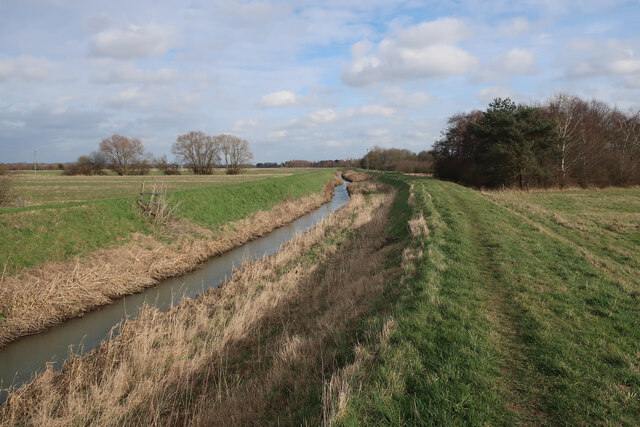
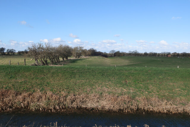
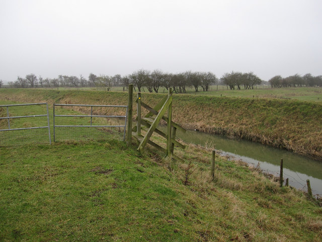
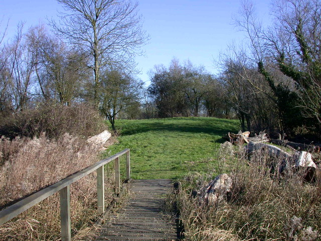
Images are sourced within 2km of 52.298742/0.137774 or Grid Reference TL4568. Thanks to Geograph Open Source API. All images are credited.

On Smithy Fen Looking towards Cottenham from the junction of Lockspit Hall Drove and Smithy Fen Engine Drove (right). Cottenham church's Jacobean tower shows on the skyline to the left.
On Smithy Fen
Looking towards Cottenham from the junction of Lockspit Hall Drove and Smithy Fen Engine Drove (right). Cottenham church's Jacobean tower shows on the skyline to the left.
Fen End Farm, Oxholme Drove A zoom view across the fields from Smithy Fen Engine Drain. The sun had not quite broken through the haze on what was later to be the hottest day to date of 2013.
Fen End Farm, Oxholme Drove
A zoom view across the fields from Smithy Fen Engine Drain. The sun had not quite broken through the haze on what was later to be the hottest day to date of 2013.
Smithy Fen in July On the morning of what later proved to be the hottest day for seven years.
Smithy Fen in July
On the morning of what later proved to be the hottest day for seven years.
Lockspit Hall Drove Smithy Fen Farm is well signposted.
Lockspit Hall Drove
Smithy Fen Farm is well signposted.
Oxholme Drove Looking towards Fen End Farm from the corner of Lockspit Hall Drove.
Oxholme Drove
Looking towards Fen End Farm from the corner of Lockspit Hall Drove.
Setchel Fen
Setchel Fen
Path by Cottenham Lode
Field by Cottenham Lode
Earthworks by Cottenham Lode Marked as an old settlement on the map.
Earthworks by Cottenham Lode
Marked as an old settlement on the map.
Footpath by Cottenham Lode
Setchell Drove, Cottenham, Cambs – view SW in Setchell Fen.
Setchell Drove, Cottenham, Cambs
– view SW in Setchell Fen.
Setchell Fen, Cottenham, Cambs – view WNW from Setchell Drove.
Setchell Fen, Cottenham, Cambs
– view WNW from Setchell Drove.
Stile by Cottenham Lode Unusual but effect design.
Stile by Cottenham Lode
Unusual but effect design.
Setchel Fen Looking across Cottenham Lode.
Setchel Fen
Looking across Cottenham Lode.
Smallholding by Cottenham Lode Behind Napoleon Farm.
Smallholding by Cottenham Lode
Behind Napoleon Farm.
Lockspit Hall Drove Narrow road across Smithy Fen.
Lockspit Hall Drove
Narrow road across Smithy Fen.
Lockspit Hall Farm On Smithy Fen.
Lockspit Hall Farm
On Smithy Fen.
Lockspit Hall Farm By Lockspit Hall drove.
Lockspit Hall Farm
By Lockspit Hall drove.
Show me another place!

Cottenham is located at Grid Ref: TL4568 (Lat: 52.298742, Lng: 0.137774)

Administrative County: Cambridgeshire

District: South Cambridgeshire

Police Authority: Cambridgeshire

What 3 Words

///repay.latitudes.bulb. Near Cottenham, Cambridgeshire

Nearby Locations

Cottenham

Related Wikis

Fen Edge

Fen Edge is an area and collection of villages in the South Cambridgeshire district of Cambridgeshire, England. The five villages in Fen Edge are Cottenham...

Cottenham

Cottenham is a village in Cambridgeshire, England. Cottenham is one of the larger villages surrounding the city of Cambridge, located around five miles...

Cottenham Village College

Cottenham Village College is an academy school located in Cottenham, Cambridgeshire, England. The school offers secondary education to pupils from the...

Rampton Castle

Rampton Castle, known locally as Giant's Hill, is the earthwork remains of a motte and bailey castle in Rampton, Cambridgeshire. It is believed that the...

Nearby Amenities

Located within 500m of 52.298742,0.137774
Mini Roundabout
Direction: clockwise
Lat/Long: 52.2963726/0.1319693
Post Box
Collection Times: Mo-Fr 16:15; Sa 09:45
Fixme: Is this CB24 285 in a new location?
Operator: Royal Mail
Post Box Type: lamp
Royal Cypher: EIIR
Royal Cypher Wikidata: Q33102113
Lat/Long: 52.3000543/0.1383689
Bus Stop
Brookfield Business Centre
Naptan AtcoCode: 0500SCOTT015
Naptan Bearing: W
Naptan BusStopType: CUS
Naptan CommonName: Brookfield Business Centre
Naptan Indicator: opp
Naptan Landmark: Brookfield Business Centre
Naptan NaptanCode: cmbdwamt
Naptan ShortCommonName: Brookfield Bsns Ctr
Naptan Street: Twenty Pence Road
Naptan Verified: no
Source: naptan_import
Lat/Long: 52.3000564/0.1383199
Bus Stop
Brookfield Business Centre
Naptan AtcoCode: 0500SCOTT016
Naptan Bearing: E
Naptan CommonName: Brookfield Business Centre
Naptan Indicator: near
Naptan Landmark: Brookfield Business Centre
Naptan NaptanCode: cmbdwamw
Naptan ShortCommonName: Brookfield Bsns Ctr
Naptan Street: Twenty Pence Road
Naptan Verified: no
Source: naptan_import
Lat/Long: 52.300133/0.1385583
Power: pole
Source: bing
Lat/Long: 52.2950631/0.1348709
Power: pole
Source: bing
Lat/Long: 52.2943738/0.1363555
Power: pole
Source: bing
Lat/Long: 52.2953165/0.1343331
Barrier: debris
Lat/Long: 52.2999446/0.1444387
Turning Loop
Lat/Long: 52.3023147/0.1362795
The data included in this document is from www.openstreetmap.org. The data is made available under ODbL.

Have you been to Cottenham?

Leave your review of Cottenham below (or comments, questions and feedback).