Coton

Civil Parish in Cambridgeshire South Cambridgeshire

England

Coton

Madingley Road out of Cambridge
Madingley Road out of Cambridge Credit: Hugh Venables

Coton is a civil parish located in the county of Cambridgeshire, England. It is situated approximately three miles west of the city of Cambridge, on the western bank of the River Cam. The area covers an approximate area of 1.7 square miles.

Coton is a predominantly rural village with a population of around 700 residents. It is known for its picturesque countryside, charming thatched-roof cottages, and scenic views of the surrounding farmland. The village has a strong sense of community and offers a peaceful and tranquil environment away from the hustle and bustle of city life.

The village is home to the Coton Countryside Reserve, an area of natural beauty and a popular destination for walkers, nature enthusiasts, and birdwatchers. The reserve boasts a diverse range of habitats, including woodlands, meadows, and wetlands, providing a habitat for a wide variety of flora and fauna.

Coton is well-connected to the city of Cambridge and neighboring villages through a network of roads and public transport. It offers easy access to the amenities and facilities of the city while retaining its rural charm. The village has a primary school, a community hall, and a local pub, providing essential services to its residents.

Overall, Coton is a peaceful and scenic village that offers a close-knit community, beautiful countryside, and convenient access to nearby urban amenities.

If you have any feedback on the listing, please let us know in the comments section below.
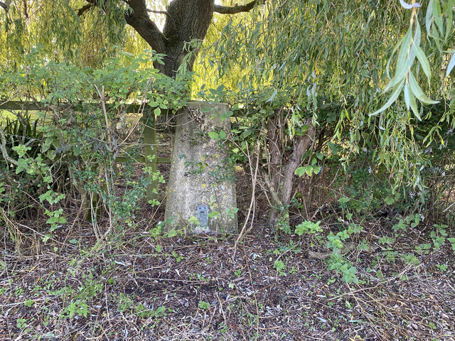
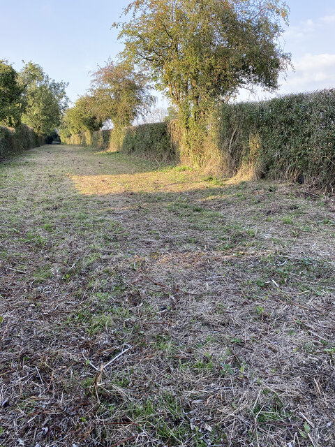
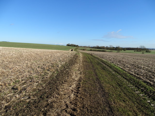
Coton Images

Images are sourced within 2km of 52.204515/0.066597 or Grid Reference TL4158. Thanks to Geograph Open Source API. All images are credited.

Madingley Road out of Cambridge
Whitwell Way, Coton, Cambs  – view to the N from near the centre of the square; with an oilseed rape crop sown into cereal stubble.
Whitwell Way, Coton, Cambs
– view to the N from near the centre of the square; with an oilseed rape crop sown into cereal stubble.
Whitwell Way, Coton, Cambs  – view to the E from near the centre of the square.
Whitwell Way, Coton, Cambs
– view to the E from near the centre of the square.
Whitwell Way, Coton, Cambs  – view to the S across the Bin Brook valley from near the centre of the square.
Whitwell Way, Coton, Cambs
– view to the S across the Bin Brook valley from near the centre of the square.
Whitwell Way, Coton, Cambs  – view to the W from near the centre of the square.
Whitwell Way, Coton, Cambs
– view to the W from near the centre of the square.
Bridleway west of Coton Through the fields of rape, easily rideable in these dry conditions.
Bridleway west of Coton
Through the fields of rape, easily rideable in these dry conditions.
Ripening wheat field
Coton Trig Point Flush Bracket S5074
Track near Coton Trig Point
Whitwell Way: November sunlight Looking towards Coton on the track from Hardwick.
Whitwell Way: November sunlight
Looking towards Coton on the track from Hardwick.
Towards Coton in November The spire of St Peter's Church is in the centre of this view across fields from Whitwell Way bridle path.
Towards Coton in November
The spire of St Peter's Church is in the centre of this view across fields from Whitwell Way bridle path.
Along Whitwell Way Due west from Cambridge early on a November afternoon. The trees on the skyline to the right mark Long Road, which links Comberton and Madingley.
Along Whitwell Way
Due west from Cambridge early on a November afternoon. The trees on the skyline to the right mark Long Road, which links Comberton and Madingley.
Entrance to Crome Lea Business Park Off the A1303 St.Neots Road
Entrance to Crome Lea Business Park
Off the A1303 St.Neots Road
Crome Lea Business Park sign At the entrance of Crome Lea Business Park off the A1303 St Neots Road
Crome Lea Business Park sign
At the entrance of Crome Lea Business Park off the A1303 St Neots Road
A1303 St.Neots Road, Madingley At the entrance to Crome Lea Business Park
A1303 St.Neots Road, Madingley
At the entrance to Crome Lea Business Park
Whitwell Way
Whitwell Way
A1303 The A1303 follows the original line of the A14 between west of Cambridge (Madingley) and west of Newmarket. It is 16 miles long.
<span class="nowrap"><a title="http://www.sabre-roads.org.uk/wiki/index.php?title=A1303" rel="nofollow ugc noopener" href="http://www.sabre-roads.org.uk/wiki/index.php?title=A1303">Link</a><img style="margin-left:2px;" alt="External link" title="External link - shift click to open in new window" src="https://s1.geograph.org.uk/img/external.png" width="10" height="10"/></span>
A1303
The A1303 follows the original line of the A14 between west of Cambridge (Madingley) and west of Newmarket. It is 16 miles long. LinkExternal link
Fallow field
Fallow field
Show me another place!

Coton is located at Grid Ref: TL4158 (Lat: 52.204515, Lng: 0.066597)

Administrative County: Cambridgeshire

District: South Cambridgeshire

Police Authority: Cambridgeshire

What 3 Words

///chose.estate.medium. Near Girton, Cambridgeshire

Nearby Locations

Coton

Related Wikis

Coton, Cambridgeshire

Coton is a small village and civil parish about three miles (about 5 km) west of Cambridge in Cambridgeshire, England and about the same distance east...

University of Cambridge Sports Centre

The University of Cambridge Sports Centre is the University of Cambridge's main sporting facility. == History == The University of Cambridge Sports Centre...

Department of Chemical Engineering and Biotechnology, University of Cambridge

The Department of Chemical Engineering and Biotechnology (CEB) is one of the teaching and research departments at the University of Cambridge. The department...

Institute for Manufacturing

The Institute for Manufacturing (IfM) is part of the Department of Engineering of the University of Cambridge. The IfM integrates research and education...

Nearby Amenities

Located within 500m of 52.204515,0.066597
Power: pole
Source: Yahoo
Lat/Long: 52.2053849/0.0642188
Covered: no
Leisure: picnic_table
Lat/Long: 52.2084781/0.0692844
Power: pole
Lat/Long: 52.204599/0.0622377
Power: pole
Lat/Long: 52.204007/0.0607518
Material: wood
Power: pole
Lat/Long: 52.20663/0.0672616
Material: wood
Power: pole
Lat/Long: 52.2076127/0.0713902
Power: pole
Lat/Long: 52.2071525/0.0692901
Barrier: kissing_gate
Material: wood
Note: this is a kissing gate but the actual swinging part is currently missing
Wheelchair: no
Lat/Long: 52.2074222/0.0662408
Power: pole
Lat/Long: 52.2057535/0.0651195
Barrier: kissing_gate
Kissing Gate: circular_profile
Lat/Long: 52.2051489/0.0678974
Barrier: kissing_gate
Lat/Long: 52.2014301/0.0713789
Beehives
Lat/Long: 52.2060276/0.063028
Barrier: kissing_gate
Lat/Long: 52.2075513/0.0648202
Historic: wayside_cross
Source: gps survey
Wikidata: Q26456170
Lat/Long: 52.2074904/0.0655918
Communication Mobile Phone: yes
Man Made: mast
Tower Type: communication
Lat/Long: 52.2051715/0.0634168
Waste Basket
Waste: dog_excrement
Lat/Long: 52.200667/0.0693283
Barrier: bollard
Bollard: removable
Lat/Long: 52.2003109/0.0671384
Barrier: height_restrictor
Maxheight: 2.1
Source Maxheight: survey
Lat/Long: 52.2003781/0.0667253
Bench
Lat/Long: 52.2010591/0.0693981
Bench
Lat/Long: 52.2002663/0.0678948
Board Type: nature
Information: board
Tourism: information
Lat/Long: 52.2002075/0.0678891
Information: route_marker
Tourism: information
Lat/Long: 52.200942/0.0707057
Information: board
Tourism: information
Lat/Long: 52.2003795/0.0671623
Watering Place
Lat/Long: 52.2021008/0.0704713
Bench
Lat/Long: 52.2063221/0.0604181
Bench
Inscription: What ever hope is yours, was my life also
Note: this bench has just been move to this position, it was to the south near the hedge (9th March 2024)
Lat/Long: 52.2052381/0.06196
Abandoned Barrier: gate
Access: no
Note: this gate is now sealed shut with a wooden bar
Lat/Long: 52.2049453/0.0609761
Information: guidepost
Tourism: information
Lat/Long: 52.2050394/0.0655857
Information: route_marker
Tourism: information
Lat/Long: 52.2013615/0.0714339
Information: route_marker
Tourism: information
Lat/Long: 52.2024724/0.0703262
Information: guidepost
Tourism: information
Lat/Long: 52.2075021/0.0656689
Watering Place
Lat/Long: 52.2067528/0.0604644
Watering Place
Lat/Long: 52.2067525/0.0604103
Board Type: history
Information: board
Note: this board explains that the permissive access agreement with Natural England expired on 1st January 2018, the grass field edges are now wildlife habitats
Tourism: information
Lat/Long: 52.2049398/0.0609795
Information: map
Tourism: information
Lat/Long: 52.2050135/0.0636696
Information: map
Tourism: information
Lat/Long: 52.2050386/0.0655767
Man Made: pumping_station
Lat/Long: 52.2072909/0.0653812
Information: guidepost
Tourism: information
Lat/Long: 52.2073342/0.0649597
Abandoned Barrier: style
Note: this gate is currently off its hinges and resting to the east side of the path up against the fence
Lat/Long: 52.2080211/0.0643589
Information: guidepost
Tourism: information
Lat/Long: 52.2073644/0.0656209
Information: route_marker
Tourism: information
Lat/Long: 52.2010788/0.0702866
The data included in this document is from www.openstreetmap.org. The data is made available under ODbL.

Have you been to Coton?

Leave your review of Coton below (or comments, questions and feedback).