Corton
Civil Parish in Suffolk East Suffolk
England
Corton
Corton is a civil parish located in the county of Suffolk, England. Situated on the eastern coast of the country, it lies approximately 3 miles north of the town of Lowestoft. The parish covers an area of about 3 square miles and has a population of around 1,500 people.
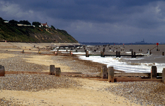
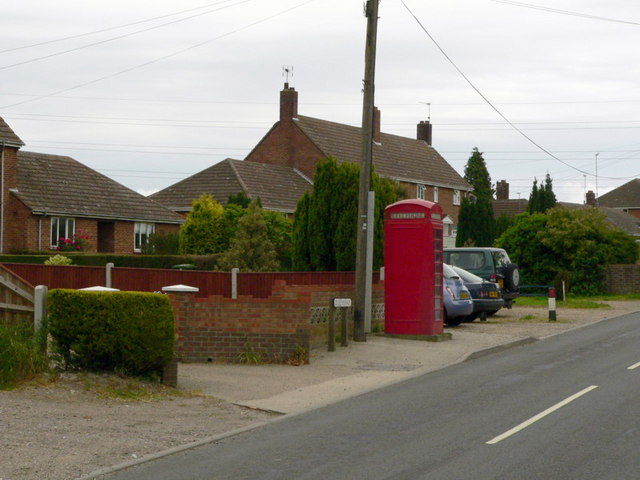
Corton is known for its scenic beauty, with stunning views of the North Sea and the Suffolk countryside. The village itself is a mix of traditional and modern architecture. It has a small but vibrant community, with a primary school, a village hall, and a handful of shops and local businesses.
The parish is also home to Corton Wood, a designated Site of Special Scientific Interest (SSSI). The woodland is characterized by its diverse range of plant and animal species, making it a popular spot for nature enthusiasts and wildlife lovers.
Corton has a rich history, with evidence of human settlement dating back to the Neolithic and Roman periods. The village was mentioned in the Domesday Book of 1086 and has since played a role in various historical events.
The area is well-connected, with good transportation links to nearby towns and cities. The coastal location also makes Corton a popular destination for tourists, with several holiday parks and resorts offering accommodation and entertainment options.
Overall, Corton is a charming and picturesque civil parish in Suffolk, offering a mix of natural beauty, historical significance, and modern amenities.
If you have any feedback on the listing, please let us know in the comments section below.
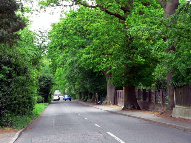
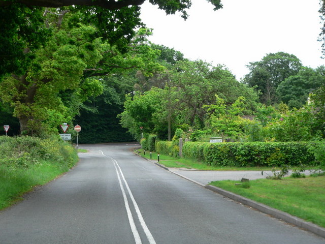
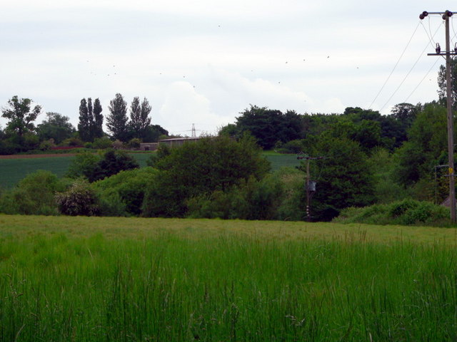
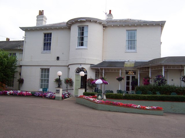
Corton Images
Images are sourced within 2km of 52.517191/1.736579 or Grid Reference TM5397. Thanks to Geograph Open Source API. All images are credited.


Corton is located at Grid Ref: TM5397 (Lat: 52.517191, Lng: 1.736579)
Administrative County: Suffolk
District: East Suffolk
Police Authority: Suffolk
What 3 Words
///grudging.growl.fruity. Near Hopton on Sea, Norfolk
Nearby Locations
Related Wikis
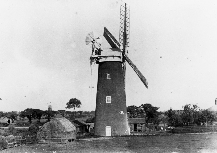
Corton Windmill
Corton Mill is a Grade II listed tower mill at Corton, Suffolk, England, which has been converted to residential accommodation. == History == Corton Mill...
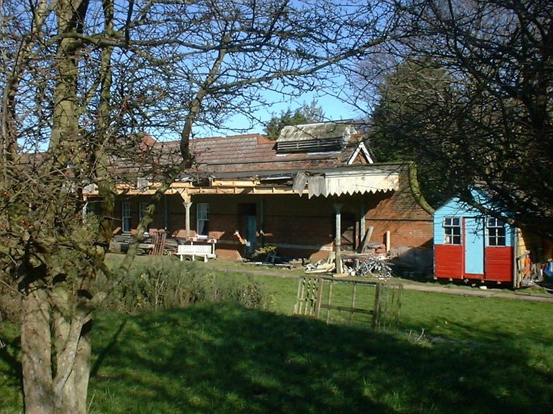
Corton railway station
Corton railway station was a railway station serving the village of Corton, Suffolk on the Norfolk and Suffolk Joint Railway line between Great Yarmouth...
Corton, Suffolk
Corton is a village and civil parish in the north of the English county of Suffolk. It is 3 miles (4.8 km) north of the centre of Lowestoft in the East...
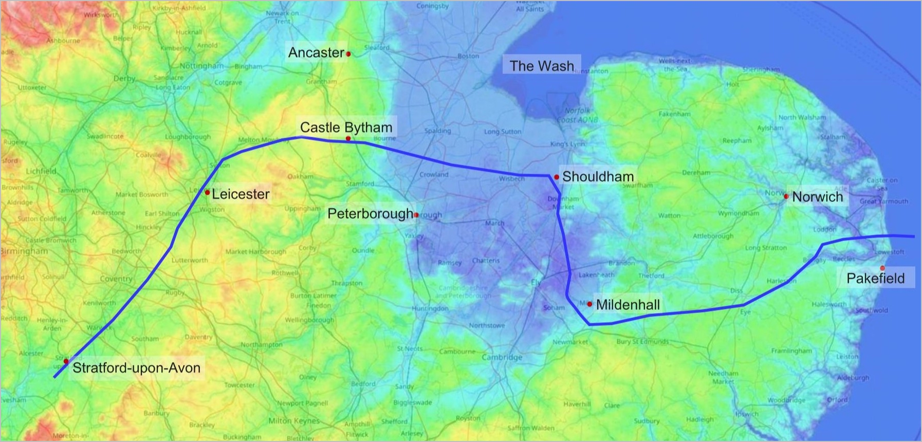
Bytham River
The Bytham River is said to have been one of the great Pleistocene rivers of central and eastern England until it was destroyed by the advancing ice sheets...
Nearby Amenities
Located within 500m of 52.517191,1.736579Have you been to Corton?
Leave your review of Corton below (or comments, questions and feedback).