Corsley
Civil Parish in Wiltshire
England
Corsley

Corsley is a civil parish located in the county of Wiltshire, England. It is situated approximately 7 miles southeast of the town of Frome and 12 miles southwest of the city of Bath. The parish covers an area of about 5 square miles and is part of the Longleat Estate.
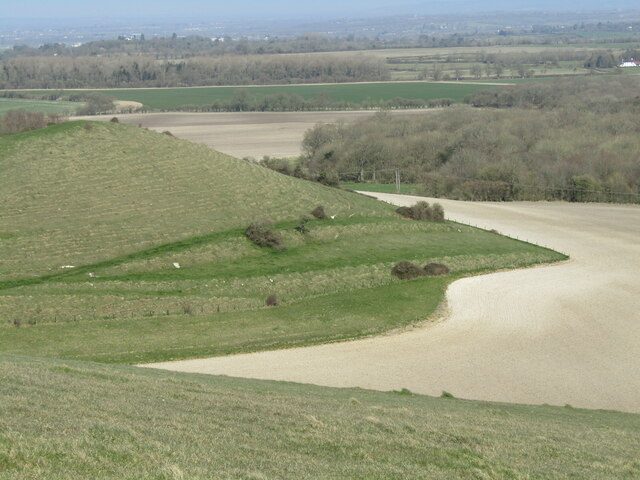
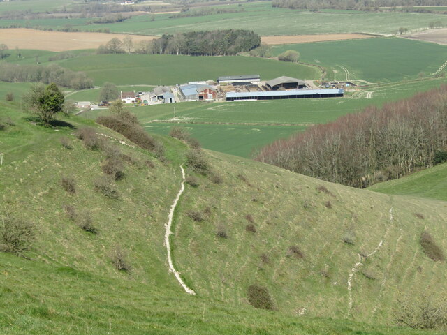
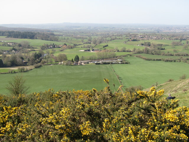
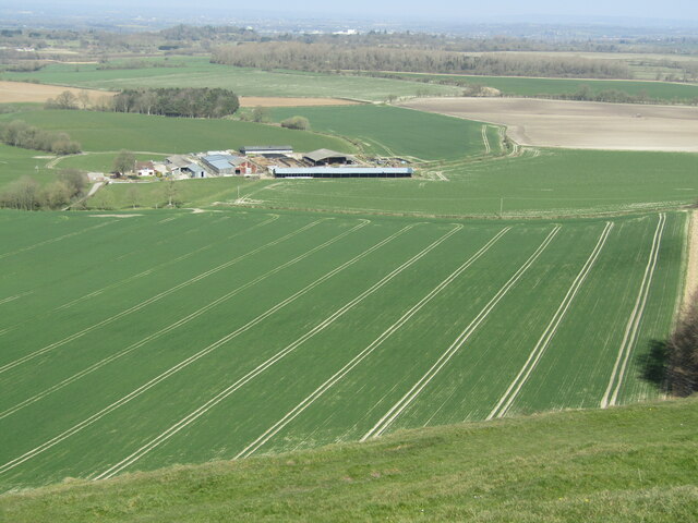
Corsley is a predominantly rural area, characterized by rolling hills, farmlands, and charming countryside scenery. The parish includes several hamlets, including Corsley Heath, Corsley Heathfield, Corsley Green, and Upper Corsley, as well as the main village of Corsley itself.
The village of Corsley is home to a close-knit community and offers a range of amenities for its residents. These include a village hall, a primary school, a church, a post office, and a local pub. The village also has a cricket club and a football club, providing recreational opportunities for sports enthusiasts.
Historically, Corsley has been an agricultural area, with farming playing a significant role in the local economy. Many of the buildings in the parish reflect its agricultural heritage, with traditional thatched cottages and farmhouses dotting the landscape.
Corsley is well-connected to surrounding areas by road, with the A36 passing through the parish, providing easy access to larger towns and cities in the region. The nearby Longleat Safari Park, a popular tourist attraction, also contributes to the local economy by attracting visitors to the area.
Overall, Corsley offers a tranquil and picturesque setting, ideal for those seeking a peaceful countryside lifestyle.
If you have any feedback on the listing, please let us know in the comments section below.
Corsley Images
Images are sourced within 2km of 51.205204/-2.2444 or Grid Reference ST8345. Thanks to Geograph Open Source API. All images are credited.


Corsley is located at Grid Ref: ST8345 (Lat: 51.205204, Lng: -2.2444)
Unitary Authority: Wiltshire
Police Authority: Wiltshire
What 3 Words
///clearing.affirming.signal. Near Corsley, Wiltshire
Nearby Locations
Related Wikis

St Mary's Church, Temple, Corsley
The Church of St Mary at Temple, Corsley, Wiltshire, England is a chapel-of-ease dating from the very early 20th century. It was commissioned and paid...
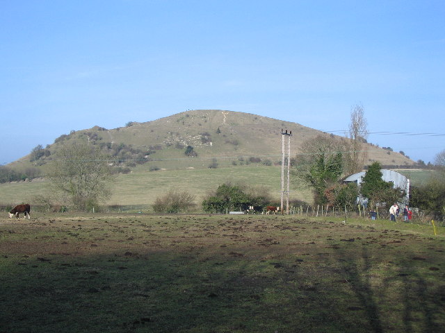
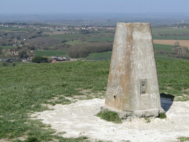
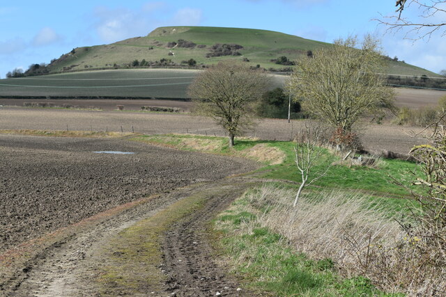
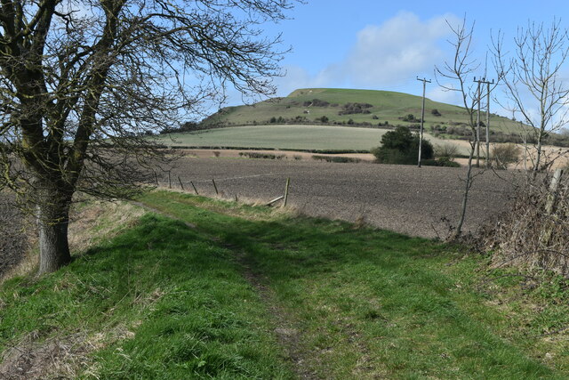
Cley Hill
Cley Hill (grid reference ST838449) is a prominent hill to the west of Warminster in Wiltshire, England. Its summit has a commanding view of the Wiltshire...

Corsley
Corsley is a hamlet and civil parish 3 miles (5 km) west of Warminster in Wiltshire, England. The parish is on the county border with Somerset; the Somerset...
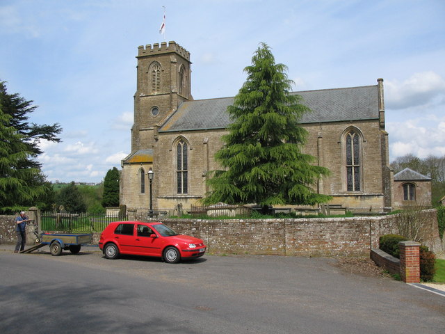
St Margaret's, Corsley
St Margaret's, Corsley, is the Church of England parish church of Corsley in Wiltshire, England. In 1968 the church was designated as Grade II listed.The...
Nearby Amenities
Located within 500m of 51.205204,-2.2444Have you been to Corsley?
Leave your review of Corsley below (or comments, questions and feedback).