Consall
Civil Parish in Staffordshire Staffordshire Moorlands
England
Consall
Consall is a civil parish located in the county of Staffordshire, England. It is situated within the Staffordshire Moorlands district, near the town of Wetley Rocks. The parish covers an area of approximately 4.6 square miles and has a population of around 200 people.
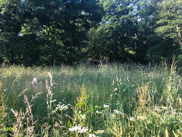
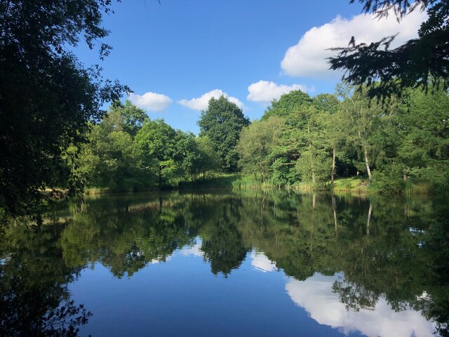
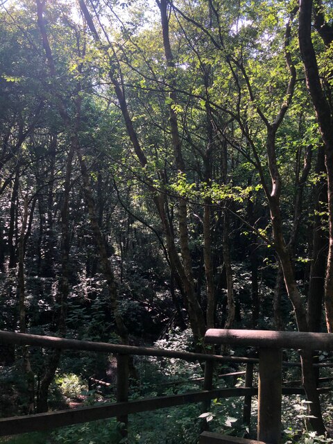
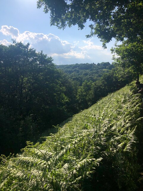
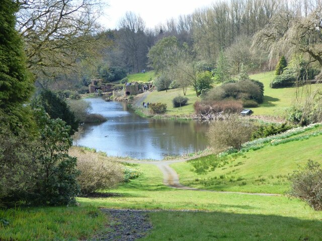
Consall is a picturesque village surrounded by beautiful countryside, offering stunning views of the Staffordshire Moorlands. The area is known for its tranquil atmosphere and natural beauty, attracting visitors who seek a peaceful retreat away from the hustle and bustle of urban life.
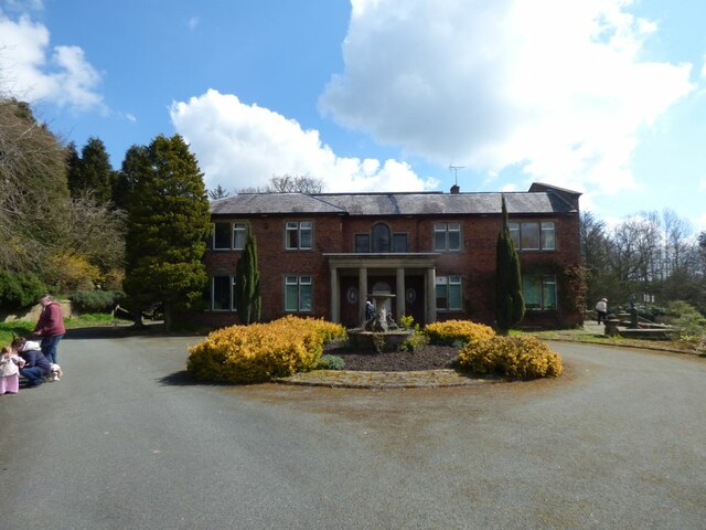
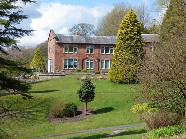
The village is home to several historic buildings, including Consall Hall, a Grade II listed country house dating back to the 19th century. The hall is set within extensive grounds, which feature manicured gardens and a lake, making it a popular venue for weddings and other special events.
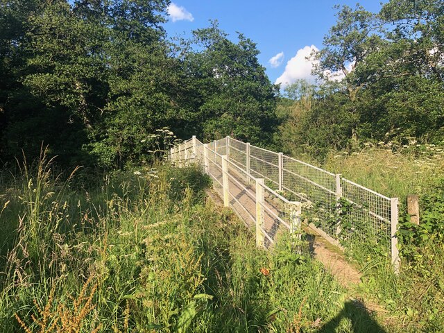
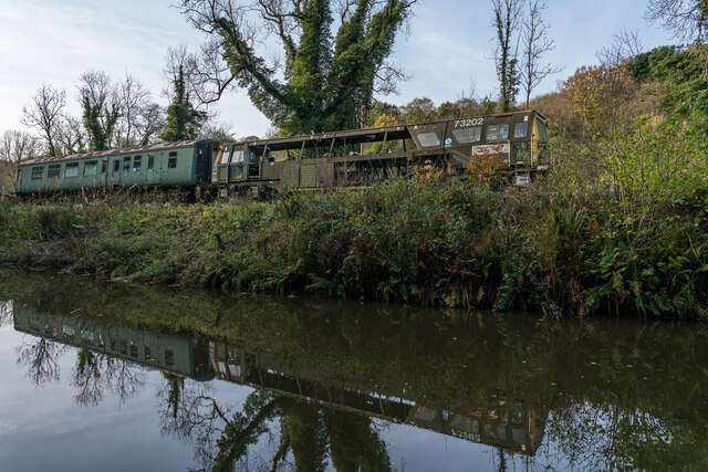
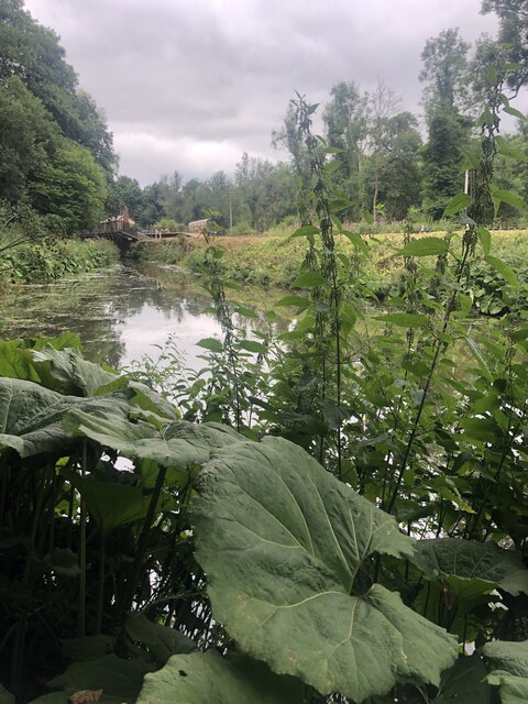
Consall is also famous for its canal system, with the Caldon Canal passing through the village. The canal provides scenic walks and opportunities for boating, attracting tourists and locals alike. The nearby Consall Forge Pottery is another popular attraction, offering visitors the chance to witness traditional pottery-making techniques and purchase unique handmade pieces.
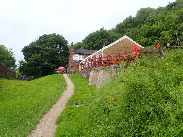
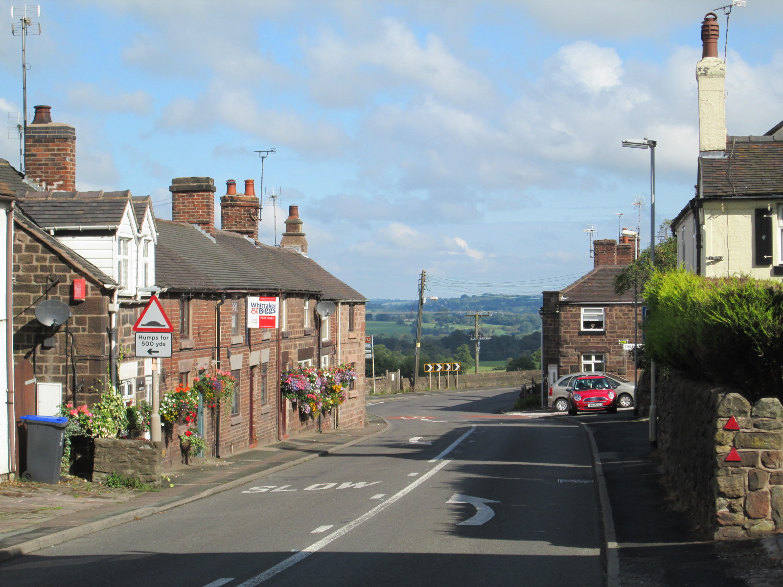
The village offers limited amenities, with a small shop and a pub providing the basic necessities for residents and visitors. However, the nearby town of Wetley Rocks offers more extensive facilities, including shops, restaurants, and schools.
Overall, Consall is a charming and idyllic village, offering a peaceful and picturesque setting for both residents and visitors to enjoy.
If you have any feedback on the listing, please let us know in the comments section below.
Consall Images
Images are sourced within 2km of 53.036051/-2.029958 or Grid Reference SJ9848. Thanks to Geograph Open Source API. All images are credited.
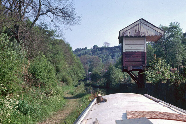

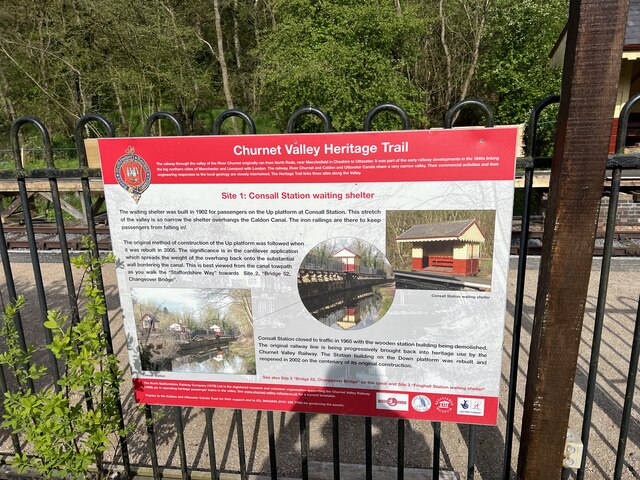
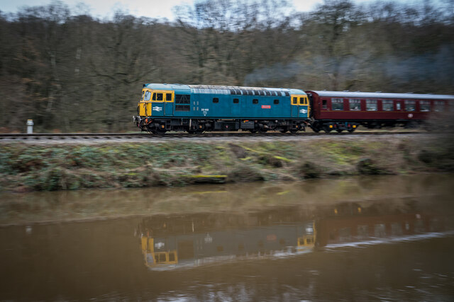
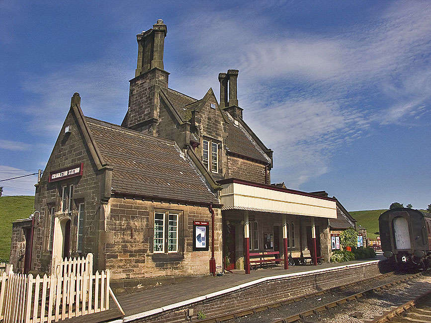
![Consall Station from the Caldon Canal towpath A preserved railway line near Leek in Staffordshire, running from Froghall up the valley to Cheddleton with one intermediate stop at Consall, and (since 2011) on an extension to a former quarry at Cauldon Low, where as of 2012 there is no station. The society has plans to connect to the national network at Stoke-on-Trent.
The lines were originally constructed by the North Staffordshire Railway (the &quot;Knotty&quot;). According to one writer, &quot;the buildings on the Churnet Valley line are of local stone, straightforwardly neo-Tudor, and effective&quot; [Lloyd &amp; Insall, &quot;Railway Station Architecture&quot;, David &amp; Charles 1978, p.17].](https://s1.geograph.org.uk/geophotos/07/51/43/7514373_0f9ef3fb.jpg)
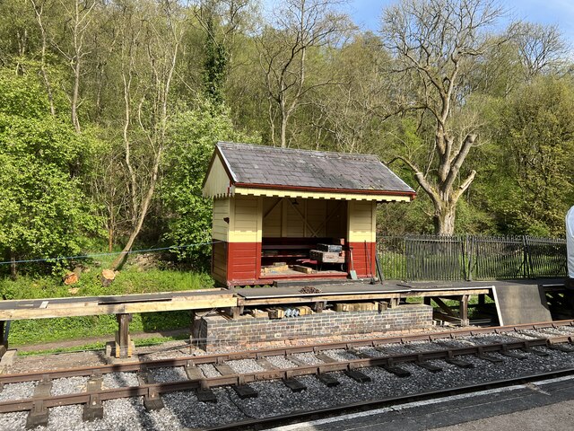
![Consall Station A preserved railway line near Leek in Staffordshire, running from Froghall up the valley to Cheddleton with one intermediate stop at Consall, and (since 2011) on an extension to a former quarry at Cauldon Low, where as of 2012 there is no station. The society has plans to connect to the national network at Stoke-on-Trent.
The lines were originally constructed by the North Staffordshire Railway (the &quot;Knotty&quot;). According to one writer, &quot;the buildings on the Churnet Valley line are of local stone, straightforwardly neo-Tudor, and effective&quot; [Lloyd &amp; Insall, &quot;Railway Station Architecture&quot;, David &amp; Charles 1978, p.17].](https://s0.geograph.org.uk/geophotos/07/66/70/7667004_978b380e.jpg)
Consall is located at Grid Ref: SJ9848 (Lat: 53.036051, Lng: -2.029958)
Administrative County: Staffordshire
District: Staffordshire Moorlands
Police Authority: Staffordshire
What 3 Words
///grudging.date.fighters. Near Cheddleton, Staffordshire
Nearby Locations
Related Wikis

Consall
Consall is a small village situated in the Staffordshire Moorlands, Staffordshire, England. It is approximately 6 miles south of the market town of Leek...
Wetley Rocks
Wetley Rocks is a village in Staffordshire, England, about 2 miles (3.2 km) south of Cheddleton and 6 miles (9.7 km) south of Leek. For population details...

Consall railway station
Consall railway station is a former passenger railway station of the North Staffordshire Railway (NSR) and is now a preserved station on the Churnet Valley...

Ashcombe Park, Staffordshire
Ashcombe Park is a country house and estate near Cheddleton, in Staffordshire, England. The house is a Grade II* listed building, listed on 2 May 1953...

Moorside High School, Werrington
Moorside High School is a coeducational secondary school located in Werrington, Staffordshire. == History == The school was opened in 1939 under the name...

Churnet Valley Railway
The Churnet Valley Railway is a preserved standard gauge heritage railway in the Staffordshire Moorlands of Staffordshire, England. It operates on part...

Cheddleton
Cheddleton is an ancient parish and village in the Staffordshire Moorlands, near to the town of Leek, England. == History == The village is divided into...
Cheddleton railway station
Cheddleton railway station is a former passenger railway station of the North Staffordshire Railway (NSR) and is now a preserved station on the Churnet...
Nearby Amenities
Located within 500m of 53.036051,-2.029958Have you been to Consall?
Leave your review of Consall below (or comments, questions and feedback).