Conington
Civil Parish in Huntingdonshire Huntingdonshire
England
Conington

Conington is a civil parish located in the district of Huntingdonshire in Cambridgeshire, England. It is situated approximately 8 miles south-east of the town of Huntingdon and covers an area of about 5.7 square miles. The parish is predominantly rural, with a small population of around 300 residents.
The village of Conington itself is charming and picturesque, with a mix of historic buildings and modern houses. The centerpiece of the village is the 13th-century St. Mary's Church, which is known for its beautiful architecture and stained glass windows. The church is still active and holds regular services for the local community.
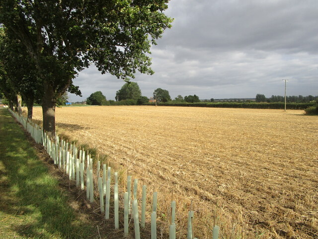
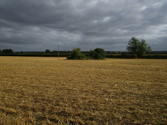
The surrounding countryside is characterized by rolling fields and farmland, making it an idyllic place for outdoor activities such as walking and cycling. There are also several nature reserves nearby, providing opportunities for birdwatching and wildlife spotting.
Despite its small size, Conington has a strong sense of community. Residents often come together for various events and activities, including village fairs, charity fundraisers, and social gatherings. The village also has a primary school, which serves the local children.
In terms of amenities, Conington has limited facilities, with no shops or pubs within the parish. However, the nearby towns of Huntingdon and St Neots offer a wider range of services and amenities, including shops, supermarkets, and leisure facilities.
Overall, Conington offers a peaceful and rural lifestyle, with a close-knit community and plenty of natural beauty to explore.
If you have any feedback on the listing, please let us know in the comments section below.
Conington Images
Images are sourced within 2km of 52.458218/-0.255815 or Grid Reference TL1885. Thanks to Geograph Open Source API. All images are credited.


Conington is located at Grid Ref: TL1885 (Lat: 52.458218, Lng: -0.255815)
Administrative County: Cambridgeshire
District: Huntingdonshire
Police Authority: Cambridgeshire
What 3 Words
///vandalism.intent.winners. Near Sawtry, Cambridgeshire
Nearby Locations
Related Wikis

All Saints Church, Conington
All Saints Church is a redundant Anglican church in the village of Conington in the Huntingdonshire district of Cambridgeshire, England. It is recorded...

Conington Castle
Conington Castle was a 16th-century house in Conington, Huntingdonshire, England, built for Sir Robert Cotton. It was demolished in 1956 by the then owner...

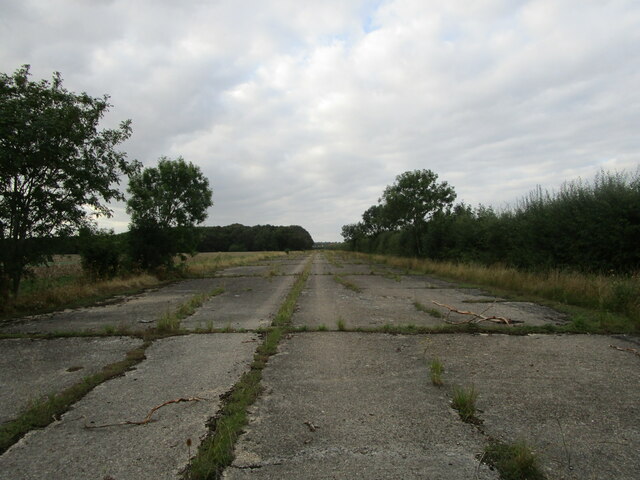
RAF Glatton
Royal Air Force Glatton or more simply RAF Glatton is a former Royal Air Force station located 10 miles (16 km) north of Huntingdon, Cambridgeshire, England...
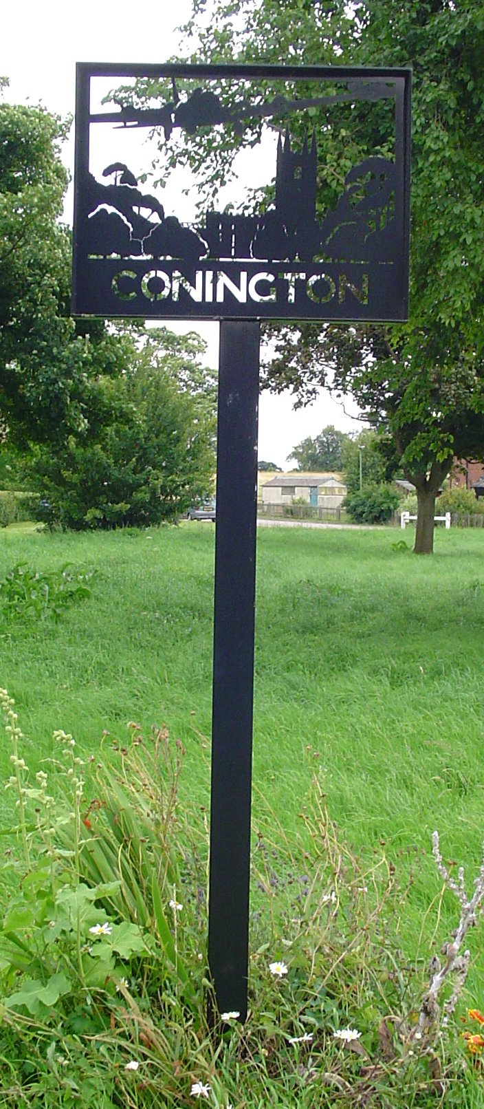
Conington, Huntingdonshire
Conington (Conington All Saints, or "Conington-juxta-Petriburg") is an English village and civil parish in the Cambridgeshire district of Huntingdonshire...
Nearby Amenities
Located within 500m of 52.458218,-0.255815Have you been to Conington?
Leave your review of Conington below (or comments, questions and feedback).