Congham

Civil Parish in Norfolk King's Lynn and West Norfolk

England

Congham

Church Interior, Congham Very nice church in Congham - small and quaint!
Church Interior, Congham Credit: Carl Bramham

Congham is a small civil parish located in the county of Norfolk, in the eastern part of England. It is nestled in the heart of the picturesque countryside, about 6 miles east of King's Lynn, a historic market town.

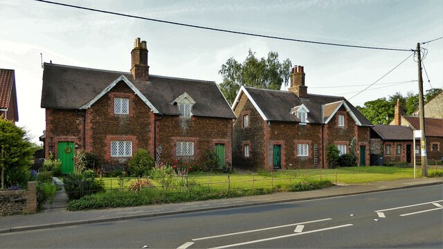
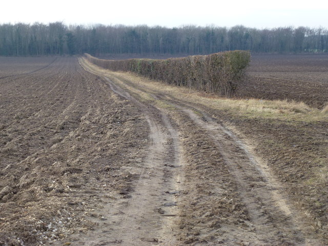
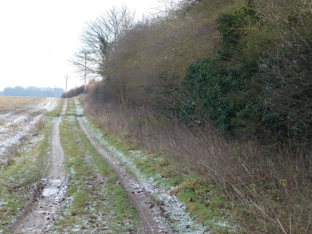
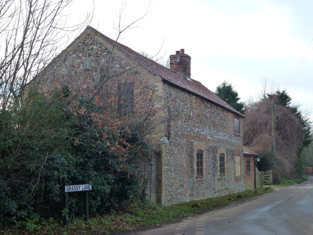
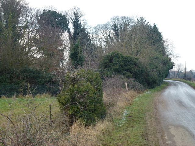
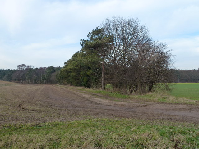
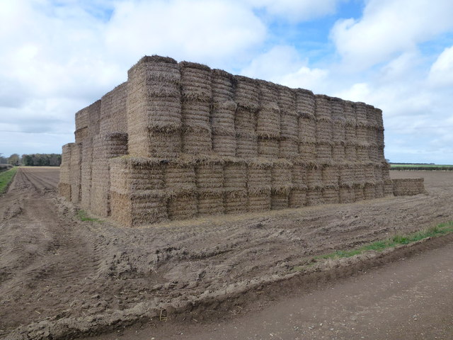
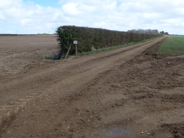
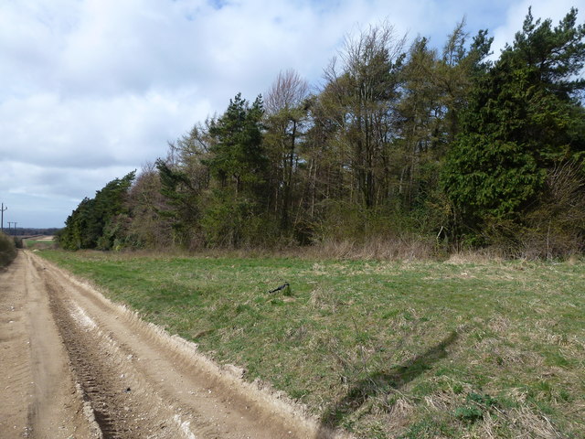
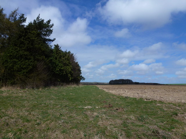
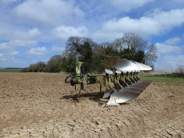
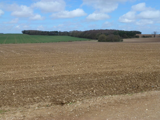
The village of Congham is known for its quaint and peaceful atmosphere, attracting visitors seeking a tranquil retreat. The area is characterized by its rolling green hills, scenic landscapes, and charming rural cottages. The village is surrounded by farmlands, providing a glimpse into the agricultural heritage of the region.

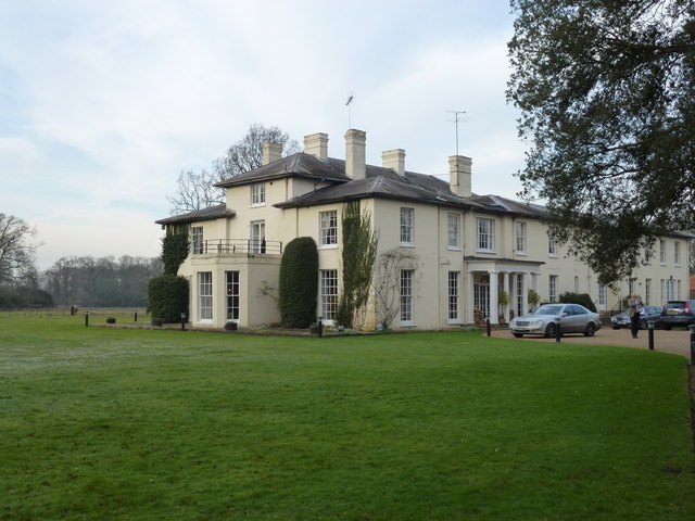
Congham is home to the Congham Hall Hotel, a renowned country house hotel that dates back to the 18th century. The hotel is set in extensive grounds, featuring beautiful gardens and a walled garden with a variety of plants and flowers. It offers luxurious accommodation and fine dining, making it a popular destination for weddings, conferences, and other special occasions.

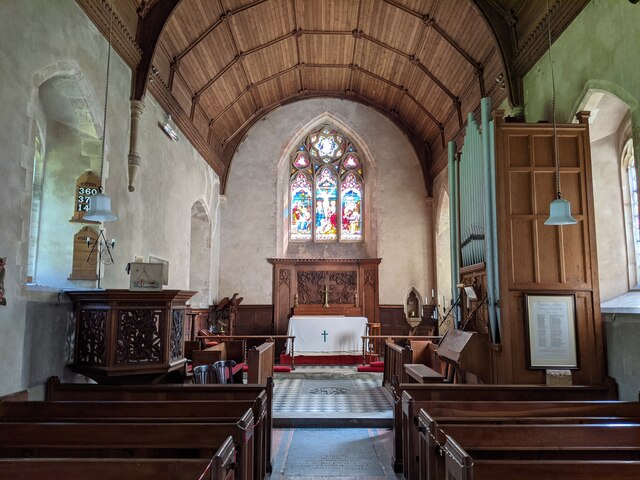
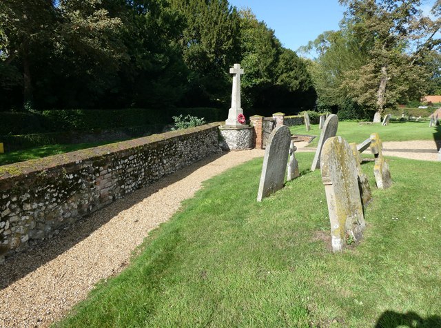
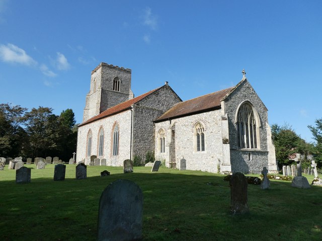
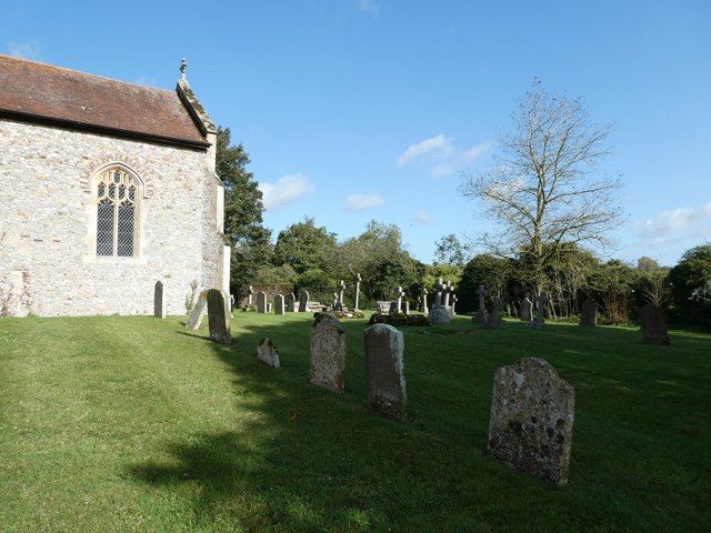
The village also boasts a small church, St. Andrew's Church, which dates back to the 14th century. The church is known for its distinctive tower and beautiful stained glass windows. It serves as a place of worship for the local community and hosts regular services and events.

The surrounding area offers plenty of opportunities for outdoor activities, such as hiking, cycling, and birdwatching. The nearby Sandringham Estate, a royal residence and country park, is a popular attraction for visitors, offering stunning gardens, woodland walks, and a museum.

In summary, Congham is a charming and idyllic village in Norfolk, offering a peaceful retreat and a glimpse into the rural beauty of the English countryside.

If you have any feedback on the listing, please let us know in the comments section below.

Congham Images

Images are sourced within 2km of 52.78353/0.55532 or Grid Reference TF7223. Thanks to Geograph Open Source API. All images are credited.

Church Interior, Congham Very nice church in Congham - small and quaint!
Church Interior, Congham
Very nice church in Congham - small and quaint!
11-15 Lynn Road Pairs of historic cottages on the main road
11-15 Lynn Road
Pairs of historic cottages on the main road
St Mary, Hillington: churchyard (1)
St Mary, Hillington: churchyard (2)
St Mary, Hillington: churchyard (3)
Gate house, Hillington Hall, King's Lynn
Track to Southern's Plantation near Hillington, Norfolk
Frosty track in Congham, Norfolk
House at the end of Grassy Lane, Congham, Norfolk
Congham Hall Hotel Upmarket establishment east of King's Lynn, Norfolk
Congham Hall Hotel
Upmarket establishment east of King's Lynn, Norfolk
Massingham Road near the Old Rectory, Grimston
Tree belt near Grimston Carr Looking north from Massingham Road
Tree belt near Grimston Carr
Looking north from Massingham Road
Large straw stack east of Congham In the autumn, British carrot farmers start putting their crop “to bed” for the winter months by covering them with a thick layer of straw to protect them from the frost. This eco-friendly method of storage, takes place across large swathes of land in Nottinghamshire, Yorkshire, Lincolnshire, Norfolk, Suffolk and Scotland. The earth becomes nature’s larder, keeping the crop fresh and ready for harvest throughout the winter, allowing farmers to provide the UK with an 11-month supply of carrots. Before farmers adopted this practice in the 1990s, carrots were predominantly a summer vegetable.   <a title="https://www.geograph.org.uk/photo/3419185" href="https://www.geograph.org.uk/photo/3419185">Link</a>
Large straw stack east of Congham
In the autumn, British carrot farmers start putting their crop “to bed” for the winter months by covering them with a thick layer of straw to protect them from the frost. This eco-friendly method of storage, takes place across large swathes of land in Nottinghamshire, Yorkshire, Lincolnshire, Norfolk, Suffolk and Scotland. The earth becomes nature’s larder, keeping the crop fresh and ready for harvest throughout the winter, allowing farmers to provide the UK with an 11-month supply of carrots. Before farmers adopted this practice in the 1990s, carrots were predominantly a summer vegetable. Link
Private farm road north of Congham Heath
Rutted bridleway and plantation north of Congham Heath
Plantation and farmland near Congham
Large plough near Beech Plantation North of Congham Heath
Large plough near Beech Plantation
North of Congham Heath
Forty Acre Plantation and Belmont Ring Looking over typical flint covered farmland from a bridleway east of Manor Farm, Congham.
Forty Acre Plantation and Belmont Ring
Looking over typical flint covered farmland from a bridleway east of Manor Farm, Congham.
Show me another place!

Congham is located at Grid Ref: TF7223 (Lat: 52.78353, Lng: 0.55532)

Administrative County: Norfolk

District: King's Lynn and West Norfolk

Police Authority: Norfolk

What 3 Words

///funnels.effort.ultra. Near Grimston, Norfolk

Nearby Locations

Congham

Related Wikis

Congham

Congham is a village and civil parish in the English county of Norfolk. It is situated some 6 miles (10 km) east of the town of King's Lynn and 34 miles...

Grimston, Norfolk

Grimston is a village and civil parish in the English county of Norfolk, approximately 6 miles north-east of King's Lynn. It covers an area of 18.08 km2...

Hillington railway station

Hillington railway station was a station in Hillington, Norfolk on the now closed Midland and Great Northern Joint Railway line between South Lynn and...

Hillington, Norfolk

Hillington is a village and civil parish in the English county of Norfolk. It covers an area of 10.27 km2 (3.97 sq mi) and had a population of 287 in 123...

Roydon, King's Lynn and West Norfolk

Roydon is a small village, civil parish and electoral ward east of King's Lynn in the English county of Norfolk. It covers an area of 4.62 km2 (1.78 sq...

Grimston Road railway station

Grimston Road railway station was a railway station in North Norfolk. It was on the Midland and Great Northern Joint Railway main line, carrying traffic...

River Cong (Norfolk)

The River Cong is a stream in the west of the county of Norfolk, only 1.5 miles (2.4 km) in length. It is a tributary of the River Babingley. The spring...

Pott Row

Pott Row is an expanding village near King's Lynn, Norfolk. It is the western part of the civil and ecclesiastical Parish of Grimston. Pott Row and neighbouring...

Nearby Amenities

Located within 500m of 52.78353,0.55532
Manor Farm
Place: farm
Source: OS 1:25k
Lat/Long: 52.7840773/0.5488448
Congham
Colour: white;black
Direction: SSW
Inscription: Welcome to / Please drive carefully
Material: metal
Traffic Sign: city_limit
Lat/Long: 52.7855062/0.5512395
Power: pole
Lat/Long: 52.7854705/0.5608875
Power: pole
Lat/Long: 52.7853765/0.5594364
Power: pole
Lat/Long: 52.7853424/0.5580389
Power: pole
Lat/Long: 52.785297/0.5566871
Power: pole
Lat/Long: 52.7857479/0.5501372
Power: pole
Lat/Long: 52.785284/0.5553433
Power: pole
Lat/Long: 52.7852613/0.5539969
Power: pole
Lat/Long: 52.7853911/0.5526799
Power: pole
Lat/Long: 52.7855208/0.5513146
The data included in this document is from www.openstreetmap.org. The data is made available under ODbL.

Have you been to Congham?

Leave your review of Congham below (or comments, questions and feedback).