Broad Street Green
Settlement in Essex Maldon
England
Broad Street Green

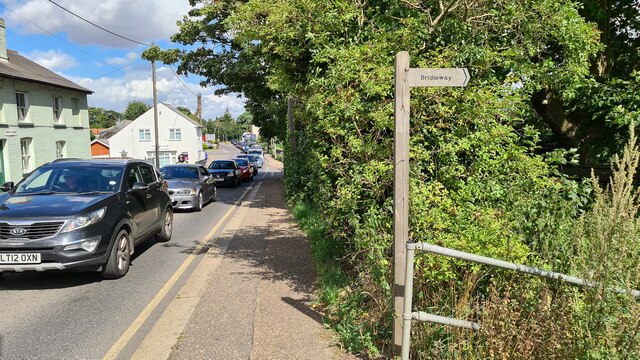
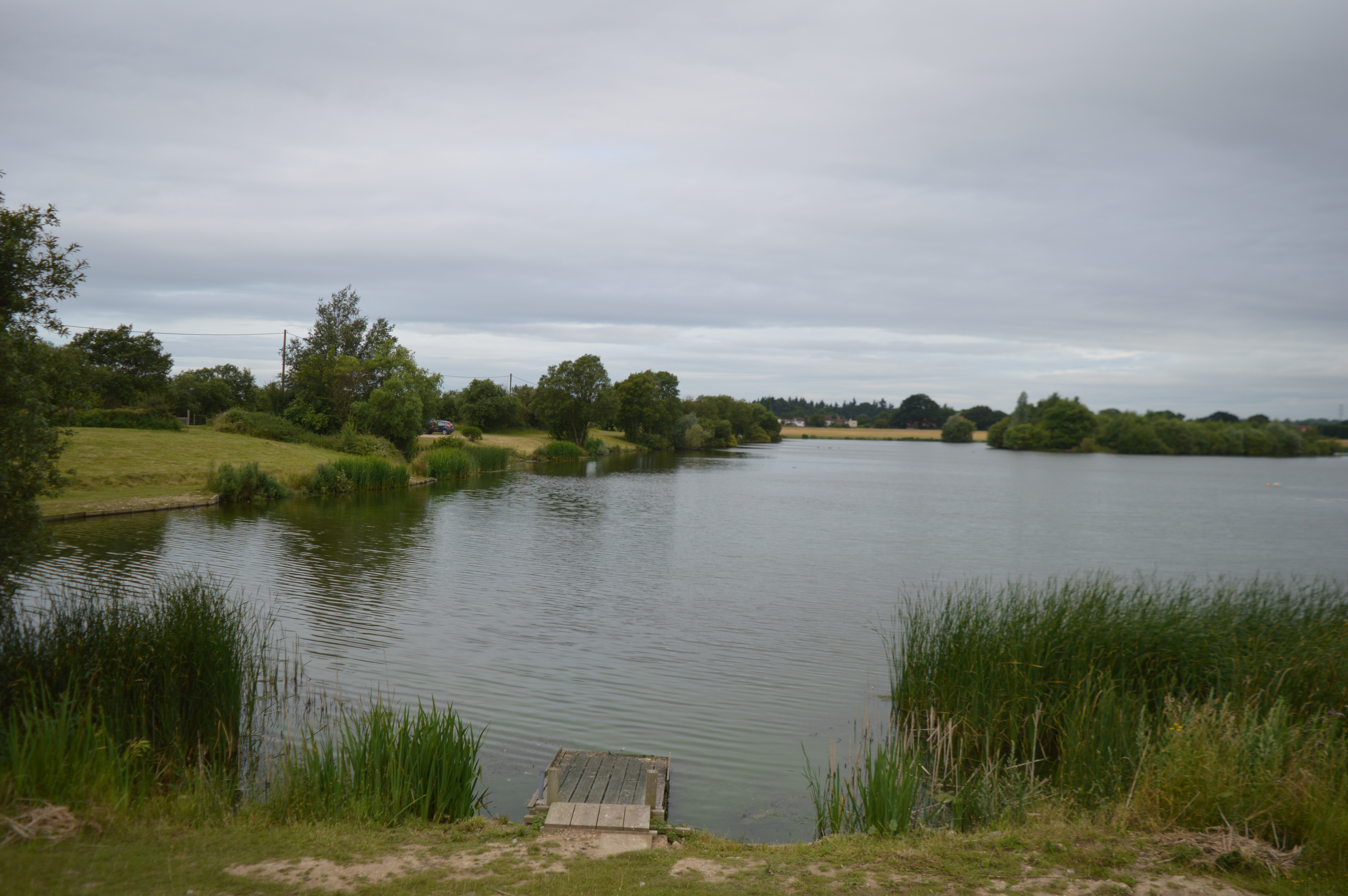
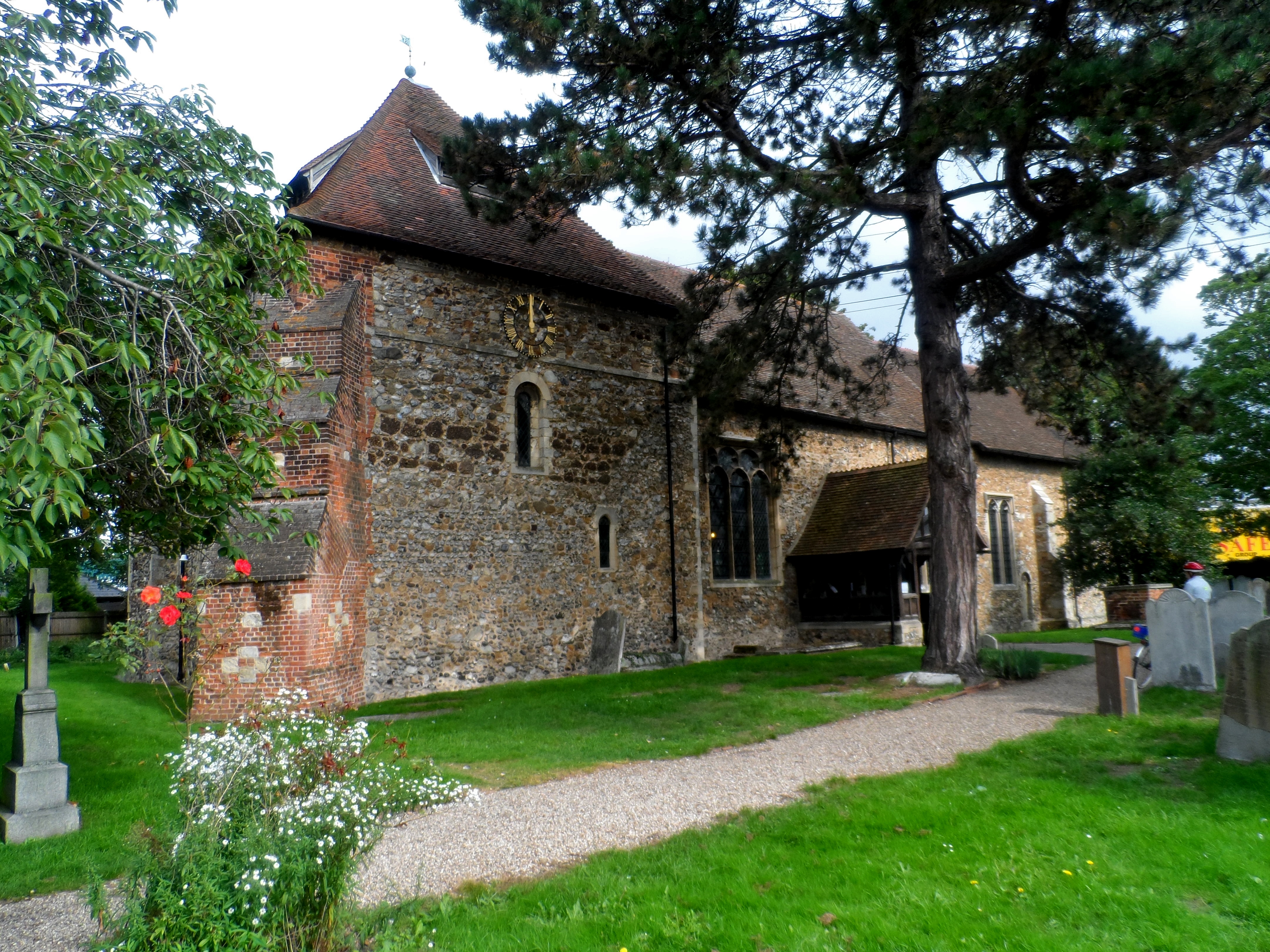
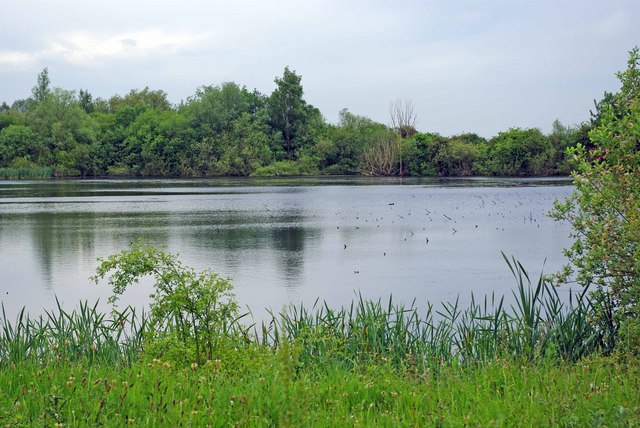
Broad Street Green is a charming village green located in the county of Essex, England. Situated in the heart of the village of Great Totham, it serves as a focal point for the community, offering a peaceful and picturesque gathering place for residents and visitors alike.
The green itself is an expansive grassy area, encompassing approximately 2.5 acres, with well-manicured lawns and mature trees providing shade on hot summer days. It is bordered by beautifully preserved historic cottages, enhancing its traditional and quintessentially English feel.
At the center of Broad Street Green stands an elegant war memorial, a poignant reminder of the village's history and its residents' sacrifices. The memorial is surrounded by a small garden, meticulously maintained with colorful flowers, offering a tranquil space for reflection.
The green is a popular spot for various recreational activities, such as cricket matches and village fairs. It also provides a safe place for children to play, with a well-equipped playground featuring swings, slides, and climbing frames.
Throughout the year, Broad Street Green hosts several community events, including summer picnics, carol singing during the festive season, and occasional outdoor concerts. These events foster a sense of togetherness and create a vibrant atmosphere within the village.
Overall, Broad Street Green is a cherished and cherished community space in Essex, offering a picturesque setting, historical significance, and a range of recreational activities for residents and visitors to enjoy.
If you have any feedback on the listing, please let us know in the comments section below.
Broad Street Green Images
Images are sourced within 2km of 51.750536/0.694227 or Grid Reference TL8609. Thanks to Geograph Open Source API. All images are credited.


Broad Street Green is located at Grid Ref: TL8609 (Lat: 51.750536, Lng: 0.694227)
Administrative County: Essex
District: Maldon
Police Authority: Essex
What 3 Words
///gearing.cobras.boards. Near Maldon, Essex
Nearby Locations
Related Wikis
Lofts Farm Pit
Lofts Farm Pit is a 4.5-hectare (11-acre) geological Site of Special Scientific Interest in Heybridge, a suburb of Maldon in Essex. It is a Geological...

Dunmow Town F.C.
Dunmow Town Football Club is a football club based in Great Dunmow, England. They are currently members of the Eastern Counties League Division One South...
Heybridge Swifts F.C.
Heybridge Swifts Football Club is a football club based in Heybridge, near Maldon, Essex, England. They are currently members of the Isthmian League North...
Heybridge, Maldon
Heybridge is a large village and civil parish in the Maldon district of Essex, England. It is adjacent to the town of Maldon, near the River Blackwater...
Chigborough Lakes
Chigborough Lakes is an 18.6-hectare (46-acre) nature reserve in Maldon in Essex. It is managed by the Essex Wildlife Trust.This area of former gravel...
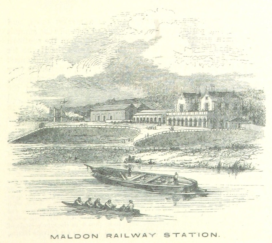
Maldon East and Heybridge railway station
Maldon East and Heybridge railway station served the town of Maldon and village of Heybridge in Essex, England. It was opened in 1848 by the Maldon, Witham...
Combined Military Services Museum
The Combined Military Services Museum in Maldon, Essex, was opened on 5 July 2004. It was set up by Richard Wooldridge to house a personal collection he...
Langford and Ulting railway station
Langford and Ulting railway station served the village of Langford, Essex. It was opened in 1848 by the Maldon, Witham & Braintree Railway (MWBR) on a...
Nearby Amenities
Located within 500m of 51.750536,0.694227Have you been to Broad Street Green?
Leave your review of Broad Street Green below (or comments, questions and feedback).