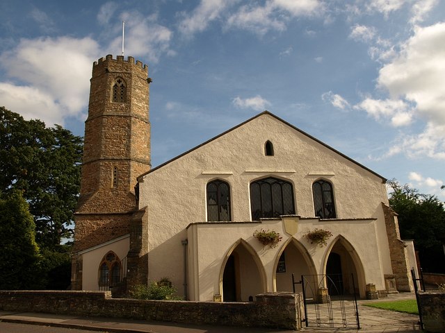
Comeytrowe
Civil Parish in Somerset Somerset West and Taunton
England
Comeytrowe
Comeytrowe is a civil parish located in the county of Somerset, England. Situated just to the south of the town of Taunton, it forms part of the Taunton Deane district. The parish covers an area of approximately 4.27 square kilometers and is bordered by the River Tone to the east and the B3170 road to the west.
Comeytrowe is primarily a residential area, comprising of a mix of housing developments, including both detached and semi-detached houses, as well as some apartment buildings. The parish is home to a diverse community, with a population of around 5,000 people.
The area benefits from a range of amenities, including several schools, such as the popular Comeytrowe Primary School, as well as a community center and a local library. There are also a number of small shops and businesses serving the needs of the local residents.
The nearby countryside offers opportunities for outdoor activities, with the Quantock Hills Area of Outstanding Natural Beauty located just a short distance to the west. This makes Comeytrowe an attractive location for those who enjoy walking, cycling, or simply exploring the picturesque Somerset landscape.
Overall, Comeytrowe is a pleasant and well-connected area, offering a peaceful residential environment with easy access to the amenities of Taunton. Its proximity to both urban and rural attractions makes it an appealing place to live for a variety of residents.
If you have any feedback on the listing, please let us know in the comments section below.
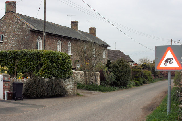
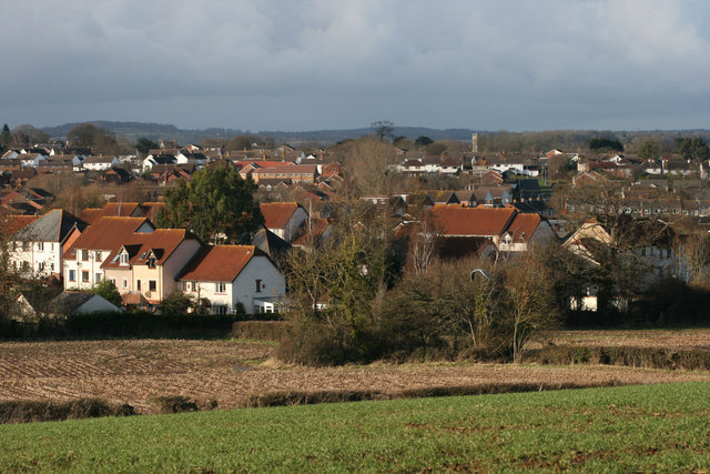
Comeytrowe Images
Images are sourced within 2km of 51.005026/-3.126125 or Grid Reference ST2123. Thanks to Geograph Open Source API. All images are credited.


Comeytrowe is located at Grid Ref: ST2123 (Lat: 51.005026, Lng: -3.126125)
Administrative County: Somerset
District: Somerset West and Taunton
Police Authority: Avon and Somerset
What 3 Words
///renew.paints.humid. Near Taunton, Somerset
Nearby Locations
Related Wikis
Comeytrowe
Comeytrowe is a south western suburb of Taunton and former civil parish, now in the parish of Taunton in the county of Somerset, England. In 2011 the parish...
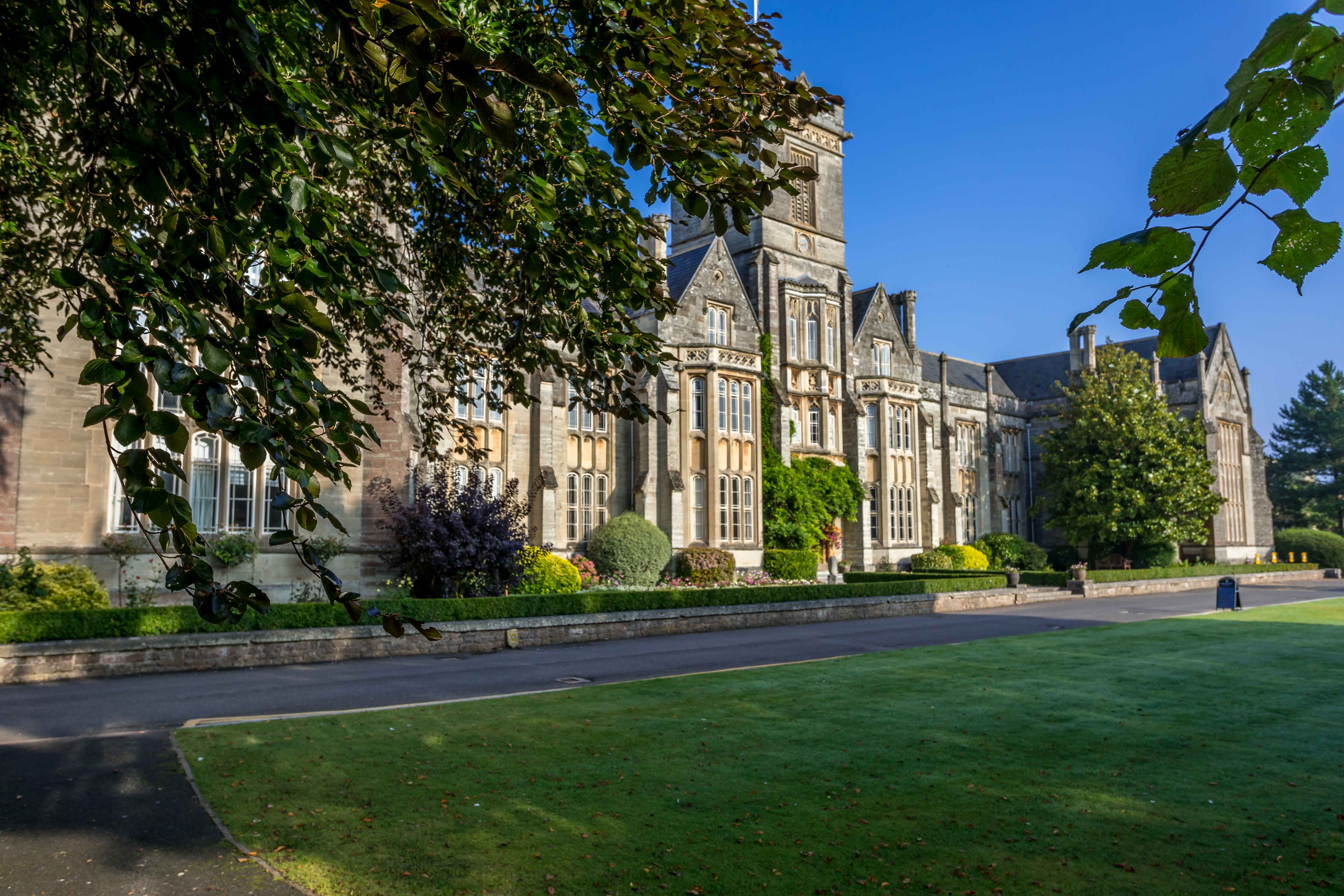
Queen's College, Taunton
Queen's College is a co-educational independent school located in Taunton, the county town of Somerset, England. It is a day/boarding school for pupils...
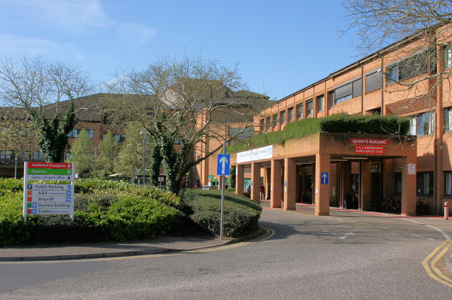
Musgrove Park Hospital
Musgrove Park Hospital is a large NHS hospital located in Taunton, Somerset, England, run by Somerset NHS Foundation Trust. Originally a US Army General...
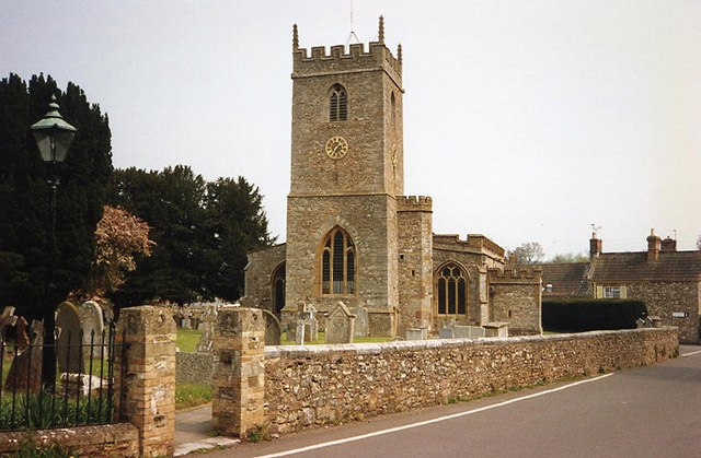
Trull
Trull is a village, electoral ward and civil parish in Somerset, England, situated near Taunton. The parish, which includes Dipford, has a population of...

1890 Norton Fitzwarren rail crash
The Norton Fitzwarren rail crash occurred on 11 November 1890, at Norton Fitzwarren station on the Great Western Railway, approximately two miles south...
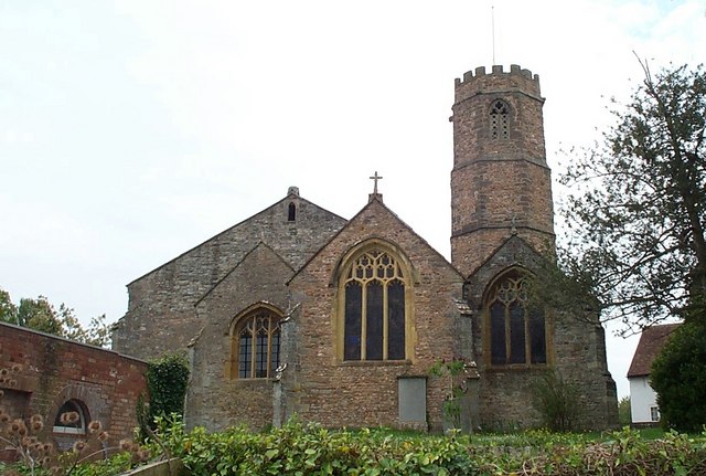
Church of St Peter and St Paul, Bishop's Hull
The Church of St Peter and St Paul in Bishop's Hull, Somerset, England was built in the 13th century. It is a Grade II* listed building. == History... ==
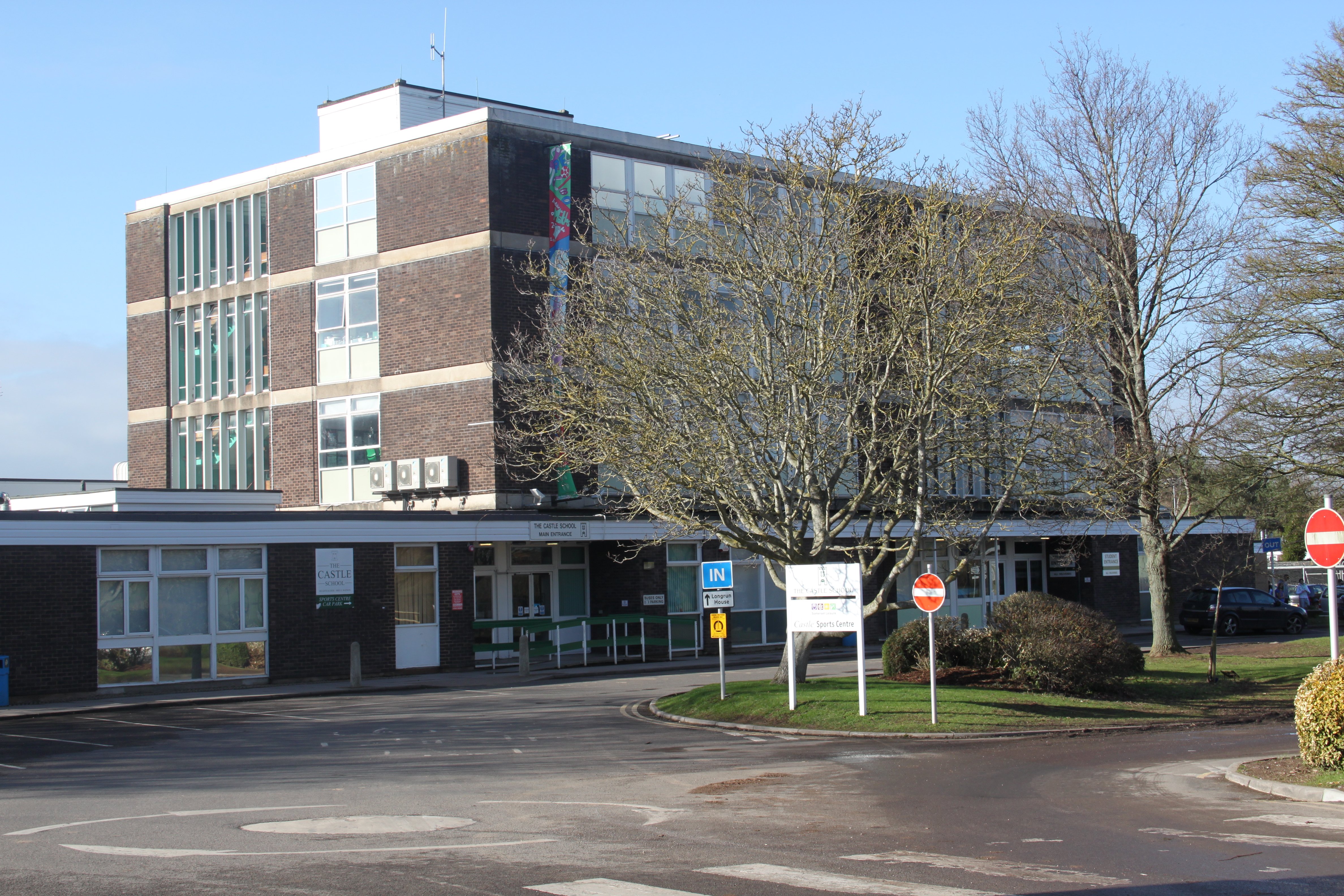
The Castle School, Taunton
The Castle School is a co-educational secondary school in Taunton, Somerset, England. It had 1,189 pupils aged 11 to 16 in 2017, and has had specialist...
Bishop's Hull
Bishop's Hull is a village and civil parish in Somerset, England, in the western suburbs of Taunton. It includes the areas of Rumwell, Rumwell Park, Roughmoor...
Nearby Amenities
Located within 500m of 51.005026,-3.126125Have you been to Comeytrowe?
Leave your review of Comeytrowe below (or comments, questions and feedback).