Coltishall
Civil Parish in Norfolk Broadland
England
Coltishall

Coltishall is a civil parish located in the county of Norfolk, England. Situated on the River Bure, it is approximately 9 miles north-east of the city of Norwich. The parish covers an area of about 10 square kilometers and has a population of around 1,200 residents.
Coltishall has a rich history, with evidence of human habitation dating back to the Roman era. In medieval times, it was an important market town and a center for the weaving industry. Today, it is known for its picturesque setting and charming character.
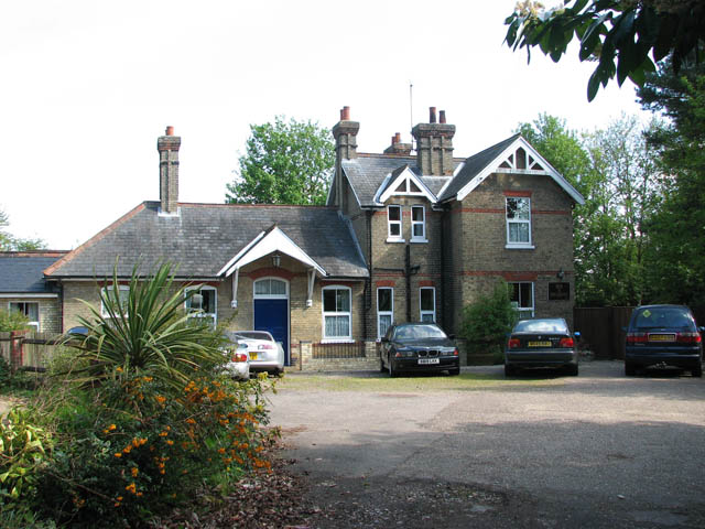
The village itself features a mix of traditional thatched cottages, Georgian houses, and modern developments. The parish also comprises several hamlets, including Hautbois and Horstead. The area is surrounded by beautiful countryside, with the River Bure flowing through, providing opportunities for boating and fishing.
Coltishall is well-served by amenities and facilities. It has a primary school, a village hall, a medical practice, and several shops, pubs, and restaurants. The village is also home to RAF Coltishall, a former Royal Air Force station that closed in 2006. The site is now being redeveloped for commercial and residential purposes.
The parish is popular with tourists and visitors due to its attractive location and proximity to the Norfolk Broads. It offers opportunities for walking, cycling, and exploring the surrounding natural beauty. Coltishall is also a starting point for boat trips along the River Bure, allowing visitors to experience the tranquil charm of the Norfolk Broads.
If you have any feedback on the listing, please let us know in the comments section below.
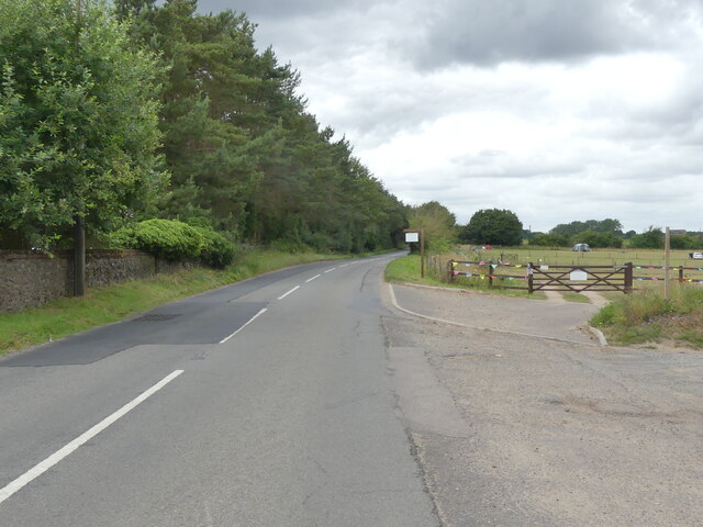
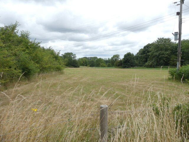
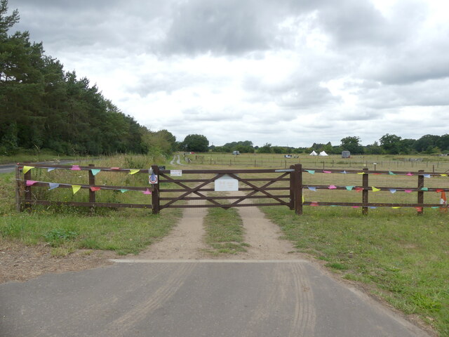
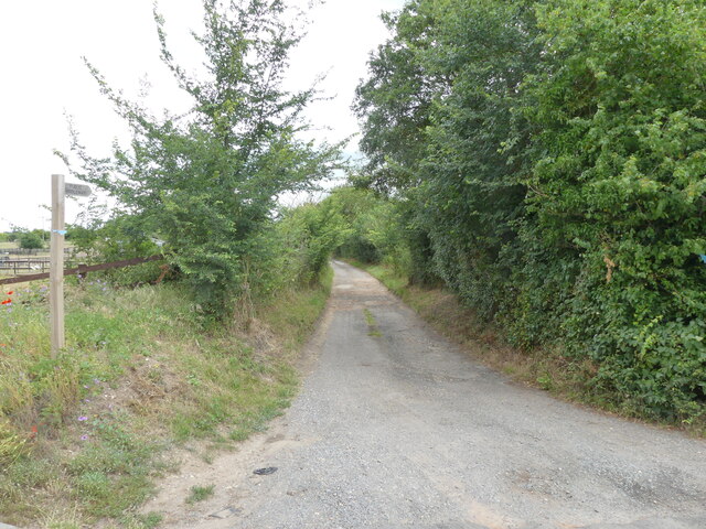
Coltishall Images
Images are sourced within 2km of 52.725437/1.36249 or Grid Reference TG2719. Thanks to Geograph Open Source API. All images are credited.


Coltishall is located at Grid Ref: TG2719 (Lat: 52.725437, Lng: 1.36249)
Administrative County: Norfolk
District: Broadland
Police Authority: Norfolk
What 3 Words
///skews.coolest.eradicate. Near Coltishall, Norfolk
Nearby Locations
Related Wikis

Coltishall
Coltishall is a village on the River Bure, west of Wroxham, in the English county of Norfolk. The village is located within the Norfolk Broads. == Etymology... ==
Coltishall railway station
Coltishall railway station serves the village of Coltishall in Norfolk, and is currently operated by the Bure Valley Railway. == Standard gauge operation... ==

Horstead with Stanninghall
Horstead with Stanninghall is a civil parish in the English county of Norfolk which is also known as 'The Gateway of The Broads' consisting of the former...

St Theobald's Church, Great Hautbois
St Theobald's Church is a former church at Great Hautbois, near Coltishall in Norfolk, England. During the medieval period it was a place of pilgrimage...

Belaugh
Belaugh is a small village (population 105) increasing to 134 at the 2011 Census, that occupies a bend in the River Bure in Norfolk, England - within The...

Horstead Hall
Horstead Hall was a country house in Norfolk that was demolished in the 1950s. The village of Horstead in the county of Norfolk is not short of country...

River Hor
The River Hor is a short river in the county of Norfolk, England. It runs 13.3 kilometres (8.3 mi) east from its source near Felthorpe to its confluence...

Frettenham Windmill
Frettenham Mill is a Grade II listed tower mill at Frettenham, Norfolk, England which has been converted to residential accommodation. == History == Frettenham...
Nearby Amenities
Located within 500m of 52.725437,1.36249Have you been to Coltishall?
Leave your review of Coltishall below (or comments, questions and feedback).