Colney
Civil Parish in Norfolk South Norfolk
England
Colney
Colney is a civil parish located in the county of Norfolk, England. Situated approximately 5 miles west of the city of Norwich, it covers an area of about 6.5 square miles and has a population of around 1,200 people.
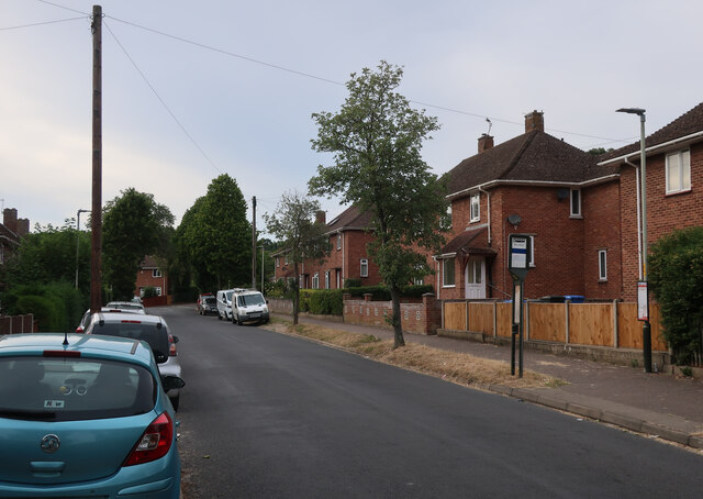
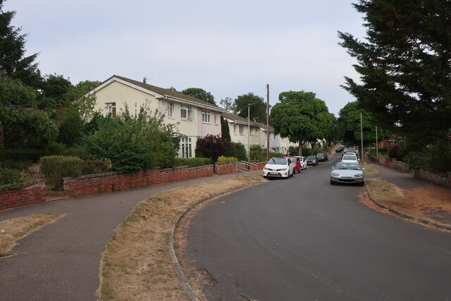
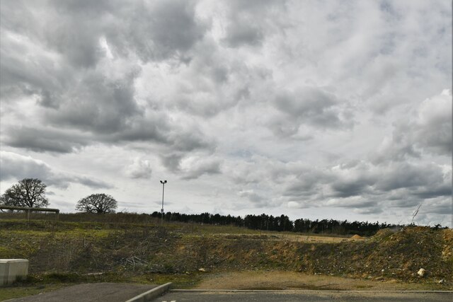
The village of Colney is known for its picturesque setting, surrounded by open countryside and farmland. It is primarily a residential area, with a mix of traditional and modern housing. The village is well-connected to nearby towns and cities, with good transport links including a railway station and regular bus services.
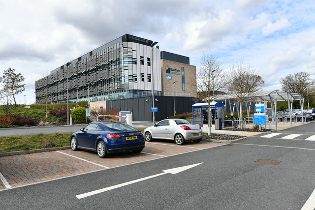
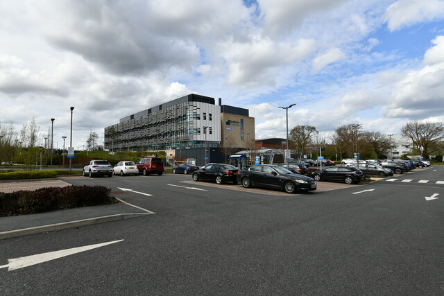
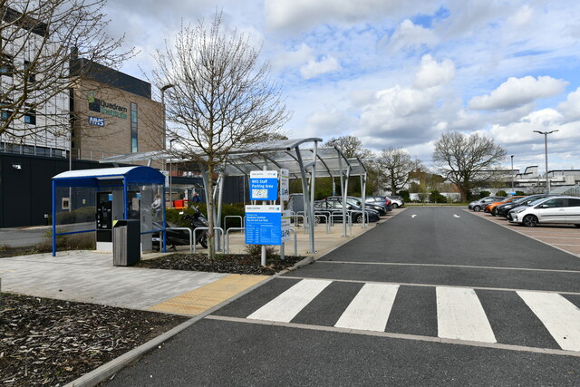
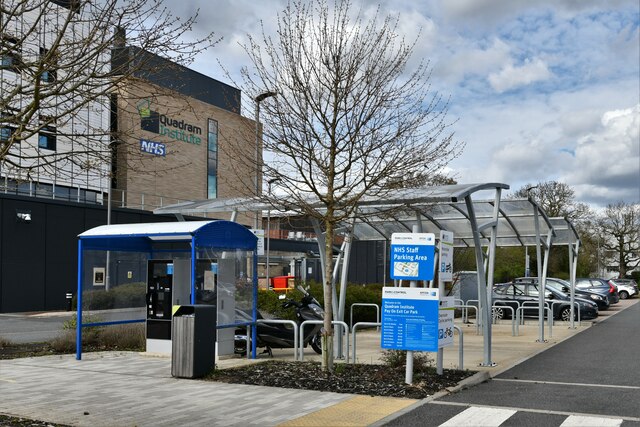
Colney is home to several notable landmarks and amenities. One such landmark is the Norfolk and Norwich University Hospital, which is located within the parish. This renowned teaching hospital serves not only the local community but also attracts patients from across the region.
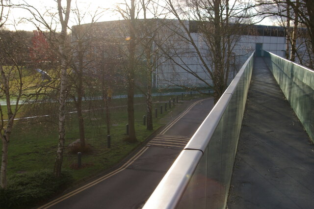
The parish also includes the Colney Wood, a small but beautiful woodland area that provides opportunities for walking and nature-watching. It is a popular spot for locals and visitors alike, offering a peaceful escape from the bustling city nearby.
Colney has a strong community spirit, with various local groups and societies actively involved in organizing events and activities for residents. The village also has a primary school, providing education for children within the area.
Overall, Colney offers a charming rural setting with convenient access to nearby amenities and transport links. Its mix of residential areas, natural beauty, and community spirit make it an attractive place to live or visit in Norfolk.
If you have any feedback on the listing, please let us know in the comments section below.
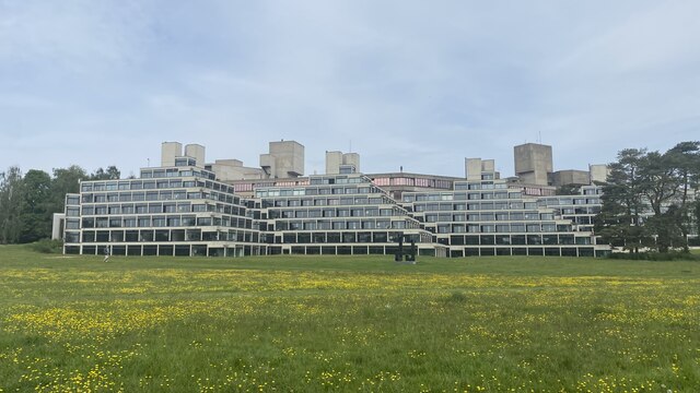
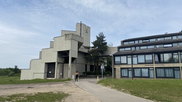
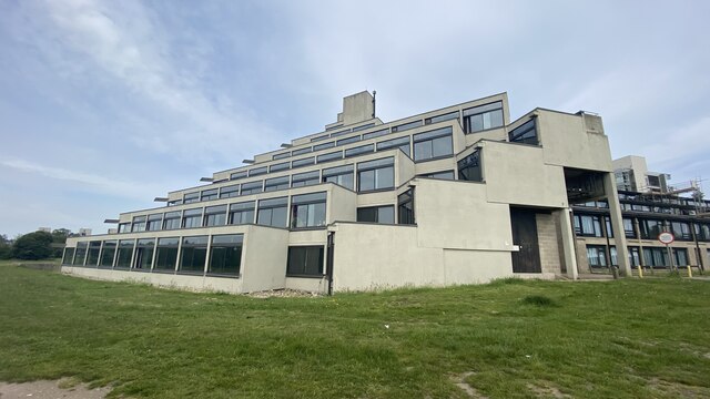
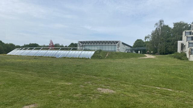
Colney Images
Images are sourced within 2km of 52.622426/1.215043 or Grid Reference TG1707. Thanks to Geograph Open Source API. All images are credited.


Colney is located at Grid Ref: TG1707 (Lat: 52.622426, Lng: 1.215043)
Administrative County: Norfolk
District: South Norfolk
Police Authority: Norfolk
What 3 Words
///stuck.gazed.lots. Near Bowthorpe, Norfolk
Nearby Locations
Related Wikis
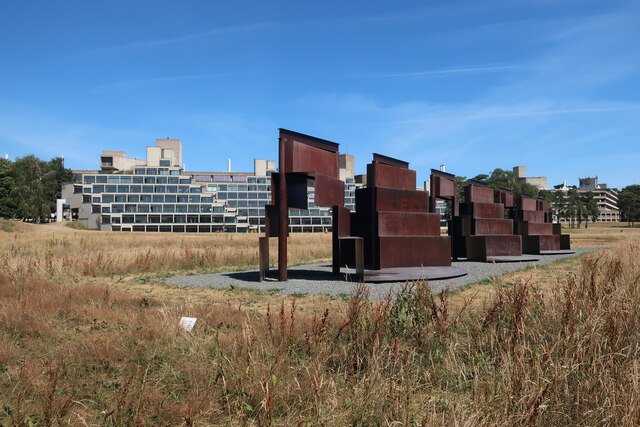
Quadram Institute
The Quadram Institute is a centre for food and health research, combining Quadram Institute Bioscience (formerly the Institute of Food Research), the Norfolk...

Colney
Colney () is a village in the western outskirts of Norwich in the English county of Norfolk. == History == Colney's name is of Anglo-Saxon origin and derives...
Earlham Institute
Earlham Institute (EI, formerly The Genome Analysis Centre (TGAC)) is a life science research institute located at the Norwich Research Park (NRP), Norwich...

Norwich Radiology Academy
The Norwich Radiology Academy, opened in November 2005, is part of the Norfolk and Norwich University Hospital NHS Trust and is one of only three training...
Nearby Amenities
Located within 500m of 52.622426,1.215043Have you been to Colney?
Leave your review of Colney below (or comments, questions and feedback).