Colmworth
Civil Parish in Bedfordshire
England
Colmworth
Colmworth is a civil parish located in the county of Bedfordshire, England. Situated approximately 10 miles northwest of the town of Bedford, it covers an area of around 1,800 acres. The parish is part of the Borough of Bedford and falls within the electoral ward of Great Barford.
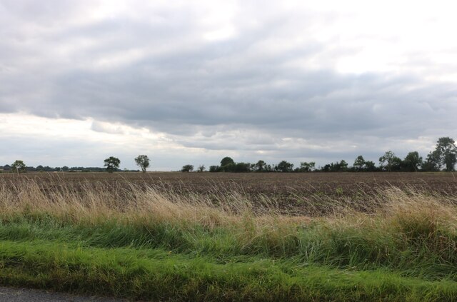
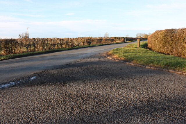
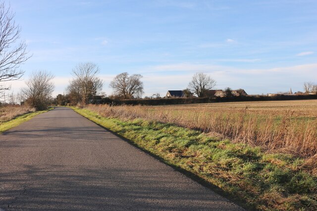
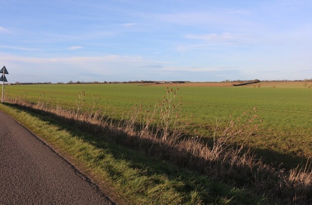
Colmworth is a rural area with a small, close-knit community. The village itself consists of a scattering of houses, some dating back to the 17th century, and a few local amenities. The parish is surrounded by picturesque farmland, providing beautiful countryside views and a peaceful atmosphere.
The local economy is predominantly agricultural, with farming playing a significant role in the area. The fertile land is used for arable farming, and there are several farms and agricultural businesses operating within the parish.
The village is also known for its natural beauty, with several walking trails and public footpaths in the area. Colmworth also boasts a golf club, which attracts visitors from both the local area and beyond.
The parish has a strong sense of community, with various activities and events organized throughout the year. These include a village fete, where locals come together to celebrate and showcase the best of Colmworth.
Overall, Colmworth is a peaceful and picturesque civil parish, offering a rural lifestyle with proximity to larger towns and amenities in the surrounding area.
If you have any feedback on the listing, please let us know in the comments section below.
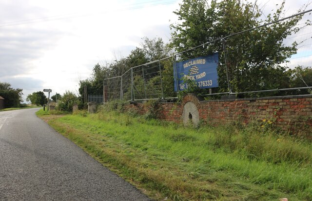
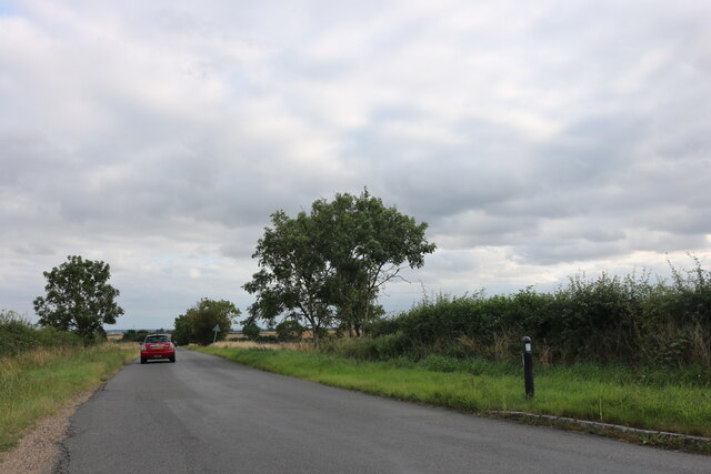
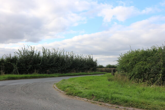
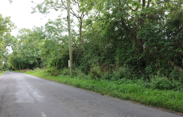
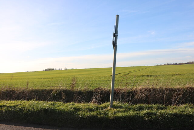
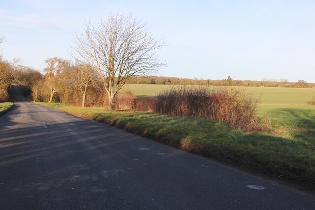
Colmworth Images
Images are sourced within 2km of 52.207077/-0.38126 or Grid Reference TL1057. Thanks to Geograph Open Source API. All images are credited.


Colmworth is located at Grid Ref: TL1057 (Lat: 52.207077, Lng: -0.38126)
Unitary Authority: Bedford
Police Authority: Bedfordshire
What 3 Words
///gagging.linguists.wedge. Near Colmworth, Bedfordshire
Nearby Locations
Related Wikis

Colmworth
Colmworth is a village and civil parish in the Borough of Bedford in the county of Bedfordshire, England about 6.5 miles (10 km) north-east of Bedford...

Church of St Denys, Colmworth
Church of St Denys is a Grade I listed church in Colmworth, Bedfordshire, England. It became a listed building on 13 July 1964.The four stage west tower...

Duck's Cross
Duck's Cross is a hamlet located in the Borough of Bedford in Bedfordshire, England. The settlement forms part of Colmworth civil parish, though Duck's...
Begwary
Begwary is a small hamlet in the parish of Staploe in the Borough of Bedford, Bedfordshire, England. == References ==
Nearby Amenities
Located within 500m of 52.207077,-0.38126Have you been to Colmworth?
Leave your review of Colmworth below (or comments, questions and feedback).