Coldwaltham
Civil Parish in Sussex Horsham
England
Coldwaltham
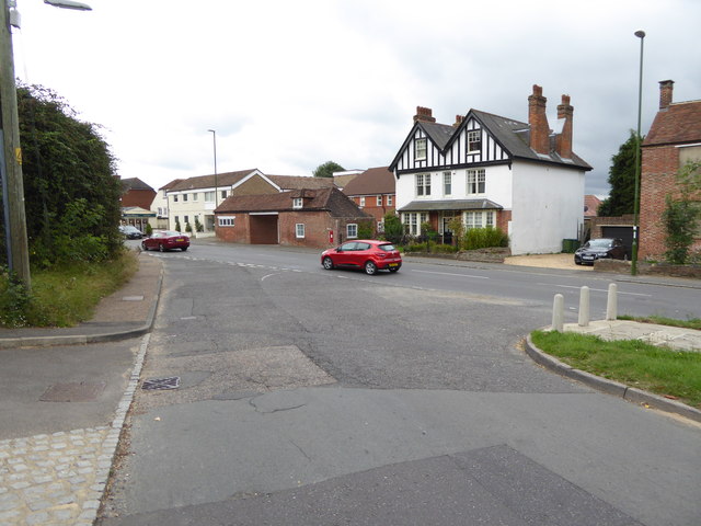
Coldwaltham is a civil parish located in the district of Horsham, West Sussex, England. Situated approximately 50 miles south of London, the village is nestled in the beautiful South Downs National Park.
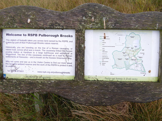
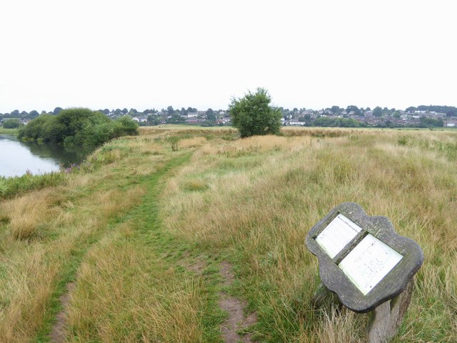
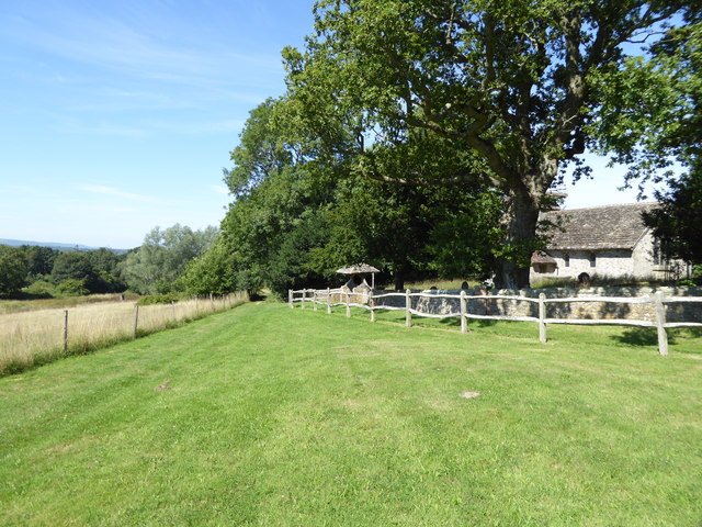
Coldwaltham covers an area of about 6 square miles and is home to a population of around 600 residents. The parish comprises of a charming mix of agricultural land, wooded areas, and small hamlets, including the main settlement of Coldwaltham itself. The village is surrounded by picturesque countryside, offering stunning views and ample opportunities for outdoor activities such as walking, cycling, and horse riding.
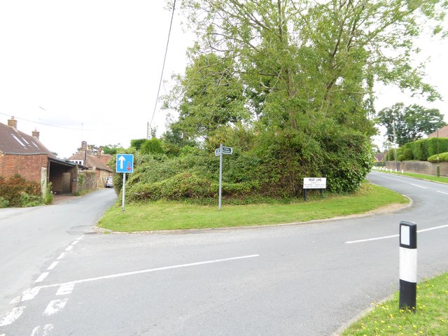
The village is well-connected to nearby towns and cities, with the A29 road passing through it. The historic market town of Pulborough is just a short drive away, providing residents with access to a range of amenities and services. The nearby Pulborough railway station connects Coldwaltham to London and other major cities, making it an attractive location for commuters.
Despite its small size, Coldwaltham has a strong sense of community, with various local events and activities that bring residents together. The village boasts a primary school, a community hall, and a pub, providing essential facilities for its residents.
In summary, Coldwaltham is a peaceful and idyllic civil parish in Sussex, offering a rural lifestyle while being conveniently located near major transport links and amenities.
If you have any feedback on the listing, please let us know in the comments section below.
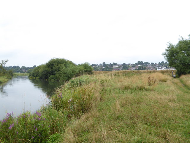
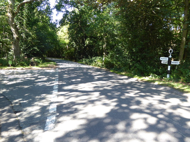
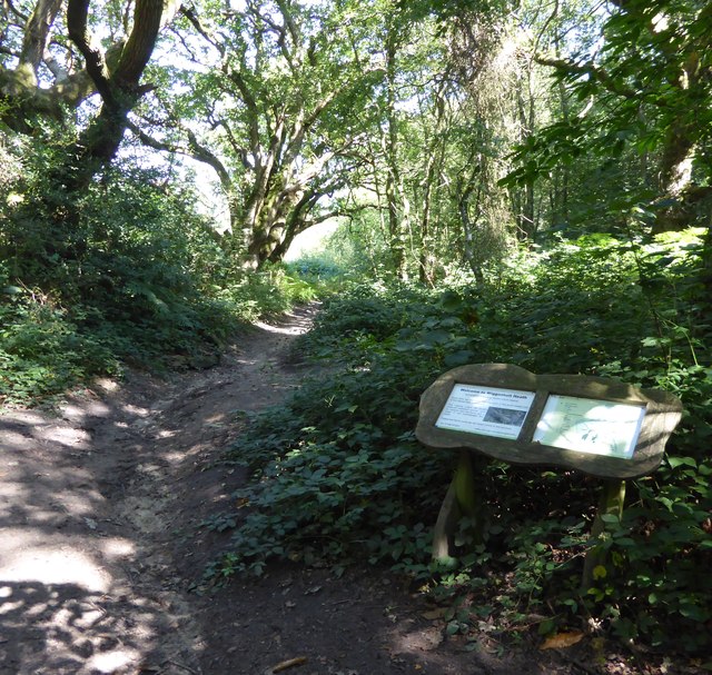
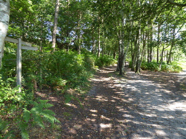
Coldwaltham Images
Images are sourced within 2km of 50.945735/-0.518554 or Grid Reference TQ0417. Thanks to Geograph Open Source API. All images are credited.


Coldwaltham is located at Grid Ref: TQ0417 (Lat: 50.945735, Lng: -0.518554)
Administrative County: West Sussex
District: Horsham
Police Authority: Sussex
What 3 Words
///acre.geese.tastier. Near Pulborough, West Sussex
Nearby Locations
Related Wikis
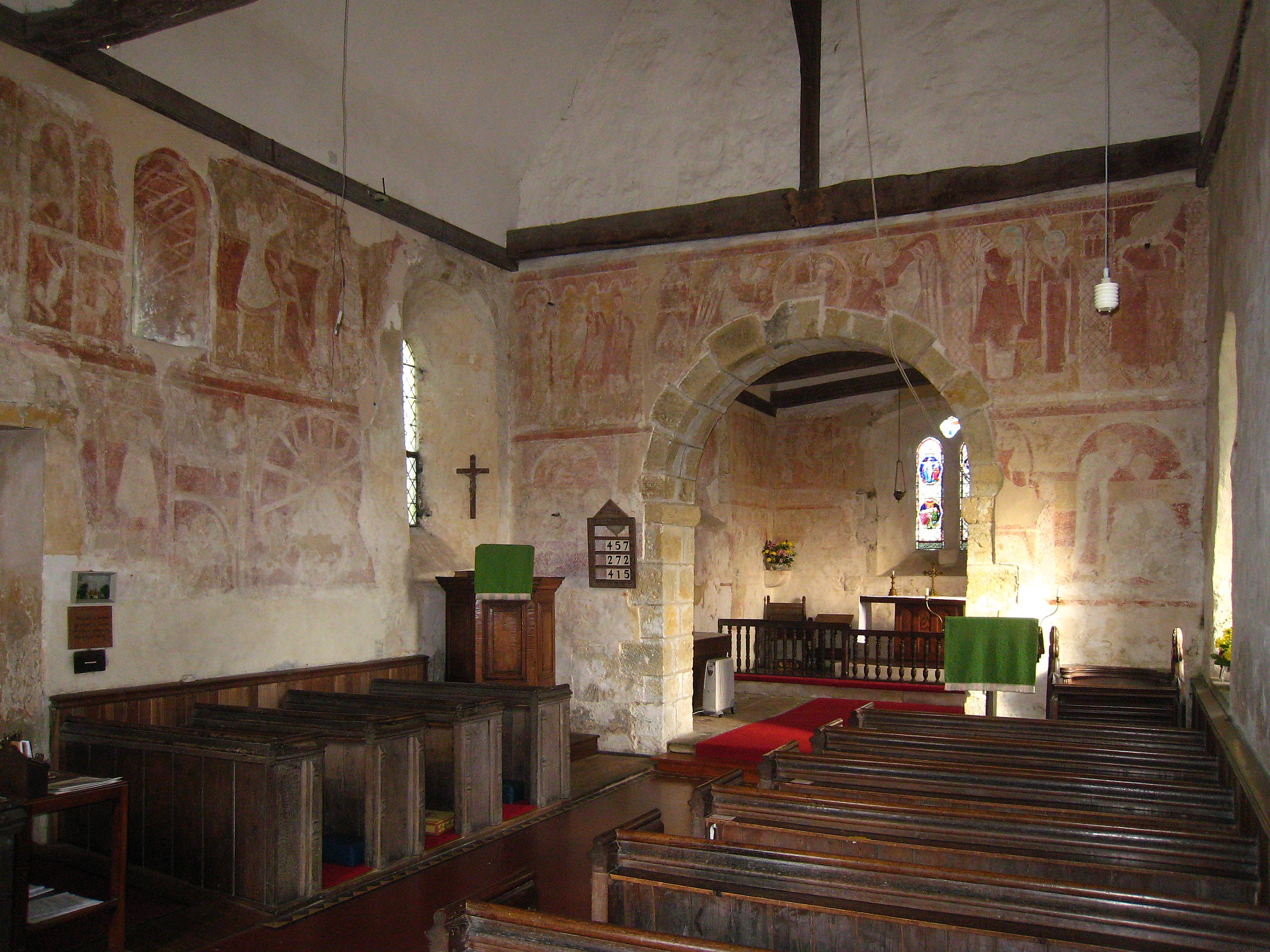
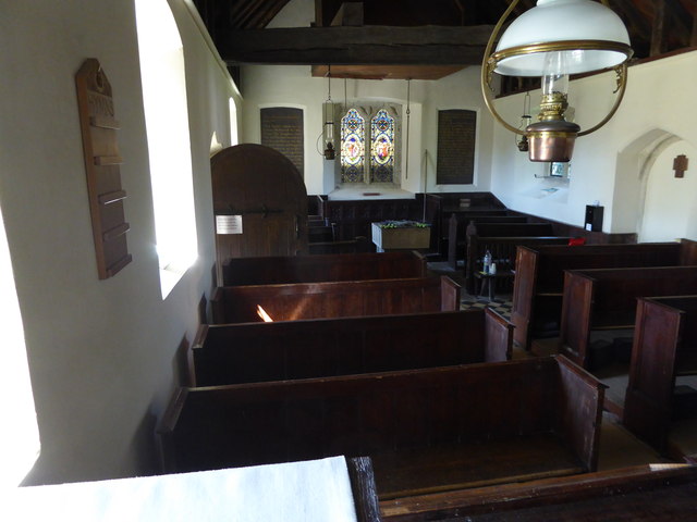
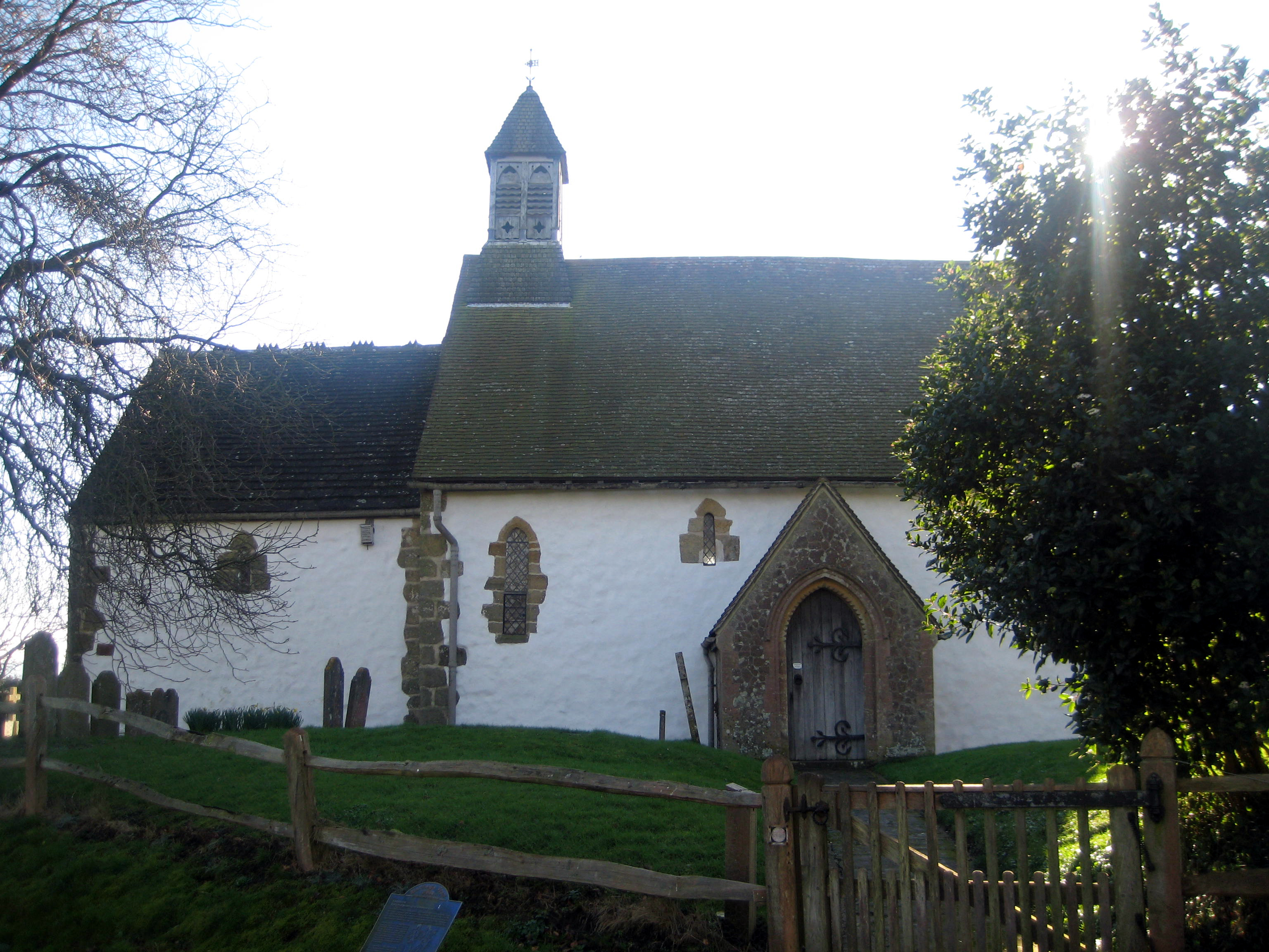
St Botolph's Church, Hardham
St Botolph's Church is the Church of England parish church of Hardham, West Sussex. It is in Horsham District and is a Grade I listed building. It contains...
Hardham
Hardham is a small village and former civil parish, now in the parish of Coldwaltham, in the Horsham district of West Sussex, England. It is on the A29...

Hardham Priory
Hardham Priory was an Augustinian priory in Hardham, West Sussex, England. It was founded around 1248 by Sir William Dawtrey as a priory of Black Canons...

River Rother, West Sussex
The River Rother flows from Empshott in Hampshire, England, to Stopham in West Sussex, where it joins the River Arun. At 52 kilometres (32 mi) long, most...
Nearby Amenities
Located within 500m of 50.945735,-0.518554Have you been to Coldwaltham?
Leave your review of Coldwaltham below (or comments, questions and feedback).