Clifton and Compton

Civil Parish in Derbyshire Derbyshire Dales

England

Clifton and Compton

Mayfield, St. John the Baptist Church: Southern aspect
Mayfield, St. John the Baptist Church: Southern aspect Credit: Michael Garlick

Clifton and Compton is a civil parish located in the district of Derbyshire, England. It is situated approximately 5 miles south of Ashbourne and covers an area of around 10 square miles. The parish encompasses the villages of Clifton and Compton, as well as several smaller hamlets and scattered dwellings.

Clifton, the larger of the two villages, is known for its picturesque setting, nestled amidst rolling countryside and surrounded by scenic views. It is a quintessential English village, with charming stone cottages, a parish church, and a village green. The village has a close-knit community, and residents often participate in various community events and activities.

Compton, on the other hand, is a smaller village with a more rural character. It is dotted with traditional farmhouses and agricultural buildings, reflecting its agricultural heritage. The village offers a peaceful and tranquil atmosphere, making it an ideal place for those seeking a quiet and idyllic countryside lifestyle.

The civil parish is well-connected, with good access to nearby towns and cities. It benefits from several major roadways, including the A515 and A52, providing easy transportation links to nearby areas. The parish also enjoys a close proximity to the Peak District National Park, offering residents and visitors opportunities for outdoor activities such as hiking, cycling, and exploring the natural beauty of the region.

Overall, Clifton and Compton in Derbyshire is a beautiful rural area, known for its picturesque villages, close-knit communities, and access to stunning countryside landscapes. It is an appealing destination for those seeking a peaceful and scenic place to call home.

If you have any feedback on the listing, please let us know in the comments section below.

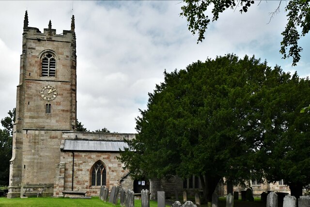
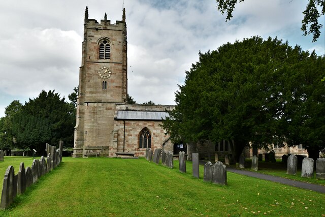
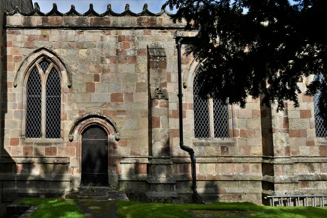
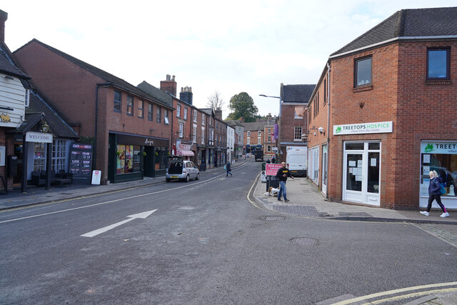
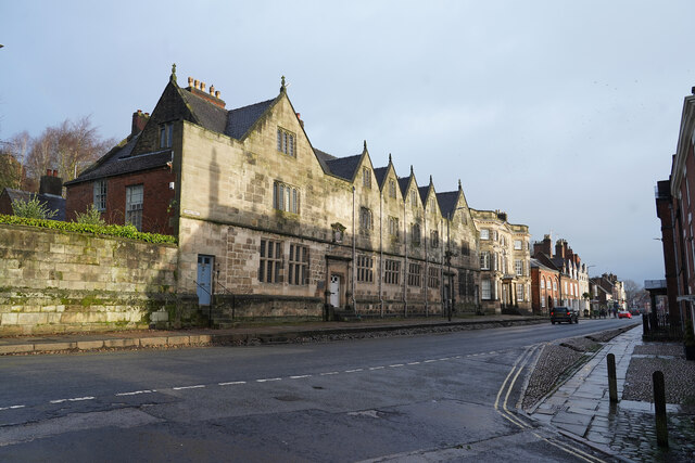
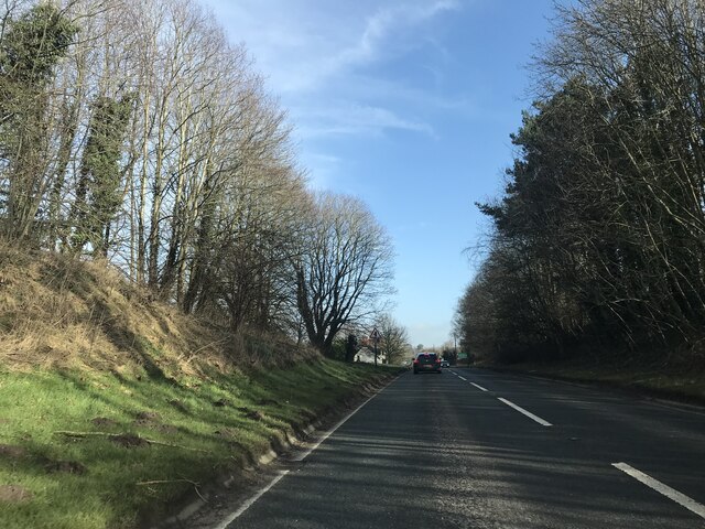
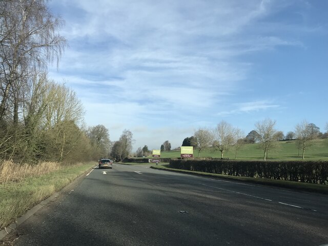
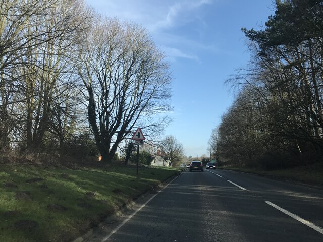
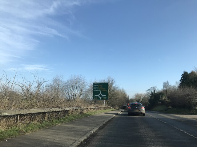
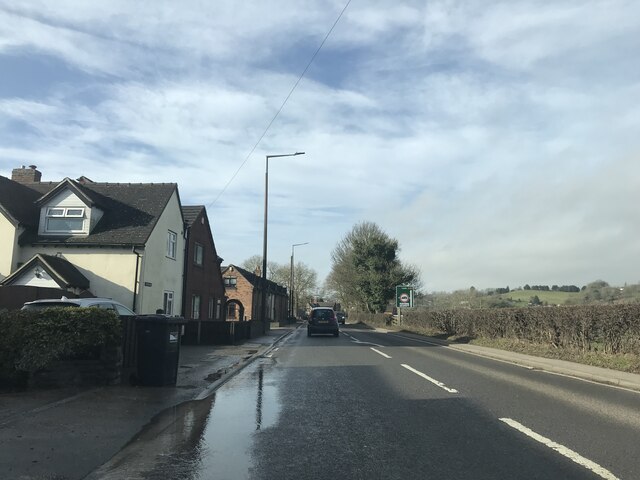
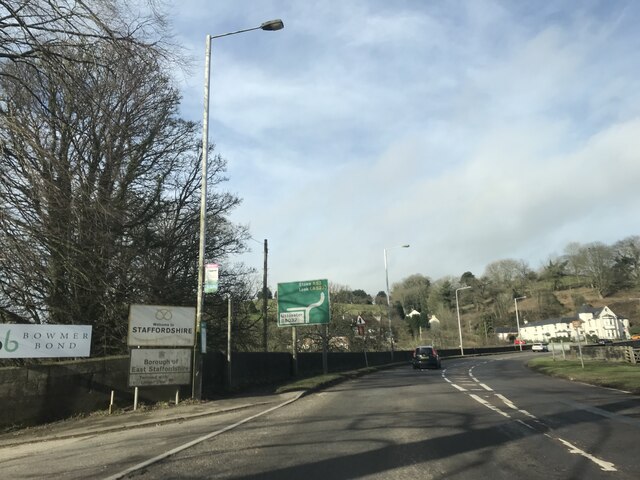
Clifton and Compton Images

Images are sourced within 2km of 53.001656/-1.747987 or Grid Reference SK1744. Thanks to Geograph Open Source API. All images are credited.

Mayfield, St. John the Baptist Church: Southern aspect
Mayfield, St. John the Baptist Church: Chancel  southern aspect
Mayfield, St. John the Baptist Church: Chancel southern aspect
Mayfield: Detached house
Mayfield, St. John the Baptist Church: Saxon cross in the churchyard
Interesting windows The windows are semi-transparent, with sylvan designs, which I assume to be either very lightly painted or plastic film with the design printed. Which ever it is very effective.
Interesting windows
The windows are semi-transparent, with sylvan designs, which I assume to be either very lightly painted or plastic film with the design printed. Which ever it is very effective.
Dig Street Dig Street is now very quiet, comparatively, as the far end has traffic blocked so that it is now a one-way street.
Dig Street
Dig Street is now very quiet, comparatively, as the far end has traffic blocked so that it is now a one-way street.
Shadows on the old Grammar School Taken from School Lane looking towards the centre of Ashbourne. The shadows on the 'Old Grammar School' are from the Old House and Mansion House opposite the former school buildings. The grammar school was endowed in 1585 during the reign of Elizabeth I. These buildings are now flats and the school is in a different part of the town.

Beyond the shadows is the Grey House.
Shadows on the old Grammar School
Taken from School Lane looking towards the centre of Ashbourne. The shadows on the 'Old Grammar School' are from the Old House and Mansion House opposite the former school buildings. The grammar school was endowed in 1585 during the reign of Elizabeth I. These buildings are now flats and the school is in a different part of the town. Beyond the shadows is the Grey House.
A515 view
A515 view
Garden Centre signage
Junction signage - A515
Roundabout signage - Ashbourne
Houses in Hangingbridge
Welcome to Staffordshire
Junction signage outside Mayfield
Jubilee bunting in St John's Street, Ashbourne
Buildings in St John's Street, Ashbourne
Shop fronts in St John's Street, Ashbourne
Show me another place!

Clifton and Compton is located at Grid Ref: SK1744 (Lat: 53.001656, Lng: -1.747987)

Administrative County: Derbyshire

District: Derbyshire Dales

Police Authority: Derbyshire

What 3 Words

///blubber.retrain.polices. Near Mayfield, Staffordshire

Nearby Locations

Clifton and Compton

Related Wikis

Clifton and Compton

Clifton and Compton is a civil parish within the Derbyshire Dales district, in the county of Derbyshire, England. The parish, despite the name, only includes...

Clifton, Derbyshire

Clifton is a village in the Derbyshire Dales district of Derbyshire, England. The village is situated about 1.2 miles (2 km) south west of Ashbourne,...

Clifton (Mayfield) railway station

Clifton (Mayfield) railway station was opened on 3 May 1852 by the North Staffordshire Railway at Clifton on the southern fringes of Ashbourne, Derbyshire...

Henmore Brook

The Henmore Brook or the River Henmore is a tributary of the River Dove in Derbyshire, England, and is 20 km (12 miles) in length.In its upper reaches...

St Oswald's Hospital

St Oswald's Hospital is a healthcare facility on Clifton Road in Ashbourne, Derbyshire, England. It is managed by Derbyshire Community Health Services...

Mayfield, Staffordshire

Mayfield is a village on the outskirts of Ashbourne in Derbyshire, about 9 miles from Uttoxeter, situated in East Staffordshire. The village is divided...

St John the Baptist's Church, Mayfield

St John the Baptist's Church is an Anglican church in the village of Mayfield, Staffordshire, England. It is a Grade I listed building. The core is a Norman...

Bentley Brook, Bradbourne

The Bentley Brook or Bradbourne Brook is a small tributary of the River Dove in Derbyshire, England, and is 14.5 kilometres (9 miles) long == Name == In...

Nearby Amenities

Located within 500m of 53.001656,-1.747987
Post Box
Brand: Royal Mail
Brand Wikidata: Q638098
Brand Wikipedia: en:Royal Mail
Operator: Royal Mail
Operator Wikidata: Q638098
Ref: DE6 817
Lat/Long: 53.00107/-1.7532887
Clifton
Place: village
Wikidata: Q5133127
Lat/Long: 53.0005677/-1.753789
Cliftoncross
Place: hamlet
Lat/Long: 53.0043767/-1.7507243
Power: pole
Lat/Long: 53.004935/-1.7429452
Power: pole
Lat/Long: 53.0053419/-1.7454167
Power: pole
Lat/Long: 53.0060808/-1.7487561
Power: pole
Lat/Long: 53.006026/-1.7481946
Speedy Shop
Addr City: Ashbourne
Addr Postcode: DE6 2GL
Addr Street: Cock Hill
Addr Village: Clifton
Note: NOT associated with building which appears in satellite view - see: http://www.ashbournenewstelegraph.co.uk/Speedy-Shop-s-anniversary-trading-Clifton/story-26188135-detail/story.html Website (see website tag) also gives live stock.
Opening Hours: 07:00-23:30
Shop: convenience
Source: survey
Website: http://villagevending.com/live-stock?machine=00003
Wheelchair: yes
Lat/Long: 53.000859/-1.7549638
Bus Stop
Bench: yes
Bus: yes
Public Transport: platform
Shelter: yes
Lat/Long: 53.0009214/-1.7536349
Barrier: stile
Stile: stepover
Lat/Long: 53.0039269/-1.7455199
Direction: SW
Generator Method: photovoltaic
Generator Output Electricity: yes
Generator Solar Modules: 16
Generator Source: solar
Generator Type: solar_photovoltaic_panel
Location: roof
Power: generator
Lat/Long: 52.998454/-1.7523554
Direction: SW
Generator Method: photovoltaic
Generator Output Electricity: yes
Generator Solar Modules: 18
Generator Source: solar
Generator Type: solar_photovoltaic_panel
Location: roof
Power: generator
Lat/Long: 52.999001/-1.753556
Direction: SSE
Generator Method: photovoltaic
Generator Output Electricity: yes
Generator Solar Modules: 8
Generator Source: solar
Generator Type: solar_photovoltaic_panel
Location: roof
Power: generator
Lat/Long: 53.0012093/-1.7537813
Direction: SSE
Generator Method: photovoltaic
Generator Output Electricity: yes
Generator Solar Modules: 8
Generator Source: solar
Generator Type: solar_photovoltaic_panel
Location: roof
Power: generator
Lat/Long: 53.0012383/-1.753674
Direction: ESE
Generator Method: photovoltaic
Generator Output Electricity: yes
Generator Solar Modules: 16
Generator Source: solar
Generator Type: solar_photovoltaic_panel
Location: roof
Power: generator
Lat/Long: 53.0019231/-1.7523732
Direction: SSE
Generator Method: photovoltaic
Generator Output Electricity: yes
Generator Solar Modules: 10
Generator Source: solar
Generator Type: solar_photovoltaic_panel
Location: roof
Power: generator
Lat/Long: 52.9991253/-1.7516811
Direction: SW
Generator Method: photovoltaic
Generator Output Electricity: yes
Generator Solar Modules: 8
Generator Source: solar
Generator Type: solar_photovoltaic_panel
Location: roof
Power: generator
Lat/Long: 53.0046278/-1.7514994
The data included in this document is from www.openstreetmap.org. The data is made available under ODbL.

Have you been to Clifton and Compton?

Leave your review of Clifton and Compton below (or comments, questions and feedback).