Clenchwarton
Civil Parish in Norfolk King's Lynn and West Norfolk
England
Clenchwarton

Clenchwarton is a civil parish located in the county of Norfolk, England. Situated approximately 5 miles west of King's Lynn, it falls within the district of King's Lynn and West Norfolk. The parish covers an area of about 13 square kilometers.
The village of Clenchwarton is nestled along the River Great Ouse, offering picturesque views and a tranquil atmosphere. The area is known for its scenic countryside, with fields and farmland stretching across the parish. The landscape is dotted with traditional Norfolk cottages, giving the village a charming and timeless appeal.
Clenchwarton has a close-knit community and a population of around 2,000 residents. The village boasts a range of amenities, including a primary school, a village hall, and a local pub. The nearby town of King's Lynn provides additional services and facilities, such as shopping centers, healthcare facilities, and secondary schools.
The parish is well-connected by road, with the A17 passing through the area, providing easy access to other parts of Norfolk and beyond. Public transportation options include regular bus services to King's Lynn and surrounding villages.
Clenchwarton offers a variety of recreational activities for residents and visitors alike. The River Great Ouse provides opportunities for boating, fishing, and riverside walks. The village also has several green spaces and nature reserves, allowing for outdoor pursuits and wildlife observation.
Overall, Clenchwarton is a scenic and peaceful civil parish, combining the tranquility of rural living with the convenience of nearby amenities.
If you have any feedback on the listing, please let us know in the comments section below.
Clenchwarton Images
Images are sourced within 2km of 52.76324/0.348532 or Grid Reference TF5820. Thanks to Geograph Open Source API. All images are credited.


Clenchwarton is located at Grid Ref: TF5820 (Lat: 52.76324, Lng: 0.348532)
Administrative County: Norfolk
District: King's Lynn and West Norfolk
Police Authority: Norfolk
What 3 Words
///bind.formal.remote. Near Clenchwarton, Norfolk
Nearby Locations
Related Wikis

Clenchwarton
Clenchwarton is a village, civil parish and electoral ward in the English county of Norfolk. It is located about 1+1⁄4 miles (2 km) west of the River Great...
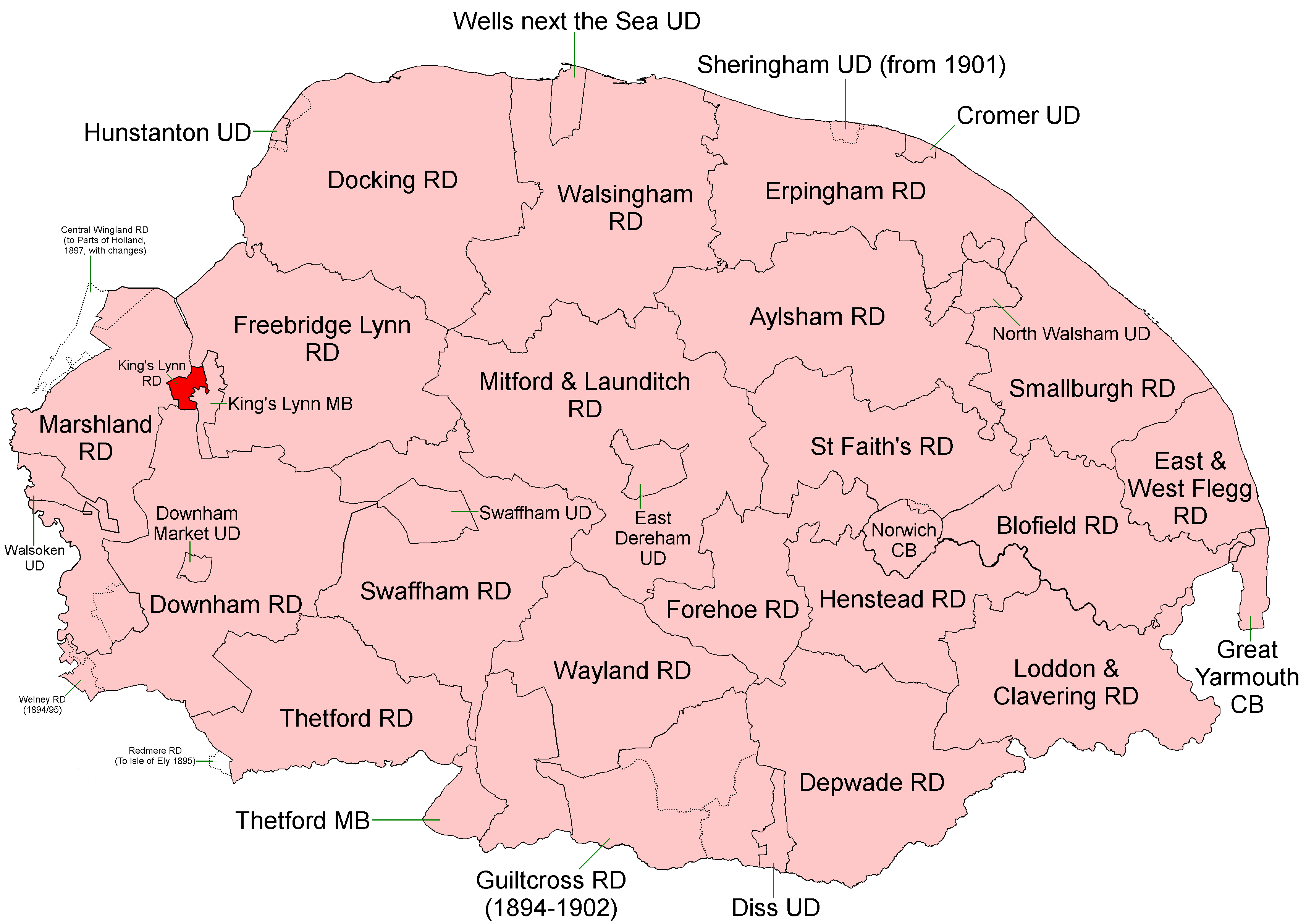
King's Lynn Rural District
King's Lynn Rural District was a rural district in Norfolk from 1894 to 1935. It was situated on the west bank of the River Great Ouse, opposite the town...

Clenchwarton railway station
Clenchwarton Railway Station is a former train station in Clenchwarton, Norfolk. It was part of the Midland and Great Northern Joint Railway line from...

West Lynn, Norfolk
West Lynn is a suburb of King's Lynn in Norfolk, England. It is the part of the town lying on the west bank of the River Great Ouse, linked to the main...
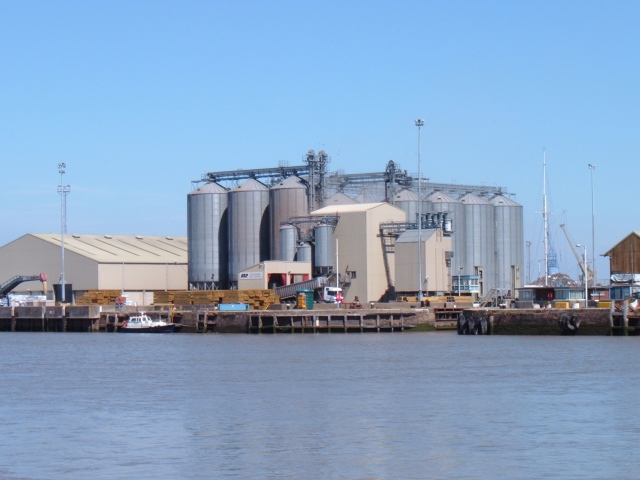
King's Lynn Docks
King's Lynn Docks are located to the north of the town of King's Lynn in the English county of Norfolk. They are on the River Great Ouse which provides...
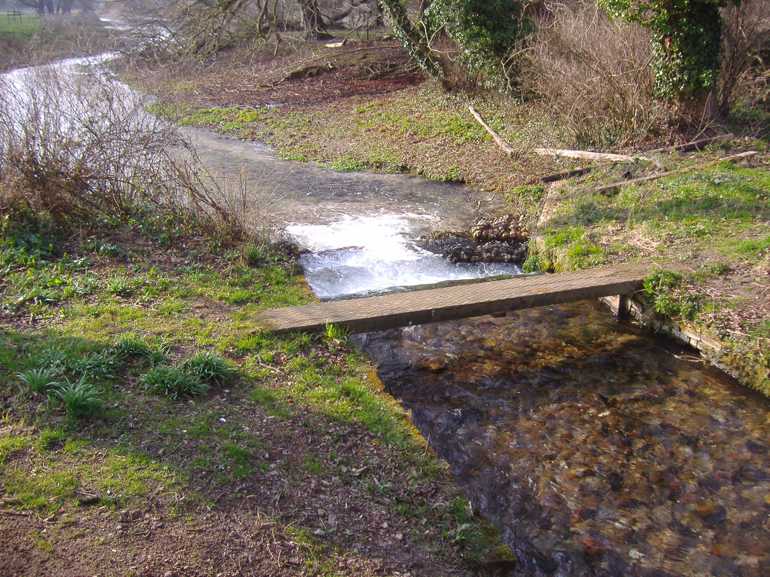
River Babingley
The Babingley is a minor river in the northwest of the county Norfolk in England. It runs 12.2 miles (19.6 km) from its source at the village of Flitcham...
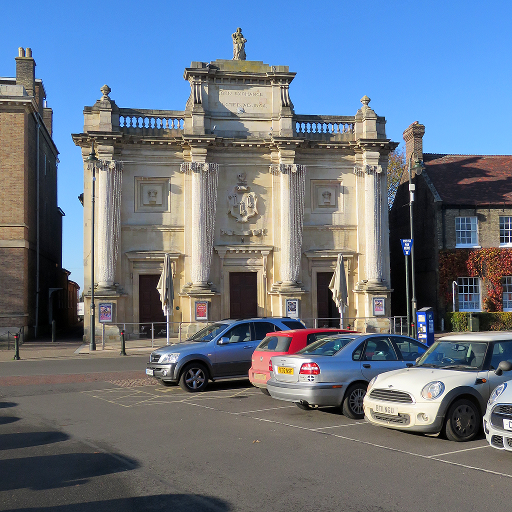
Corn Exchange, King's Lynn
The Corn Exchange is a commercial building in Tuesday Market Place, King's Lynn, Norfolk, England. The structure, which was commissioned as a corn exchange...
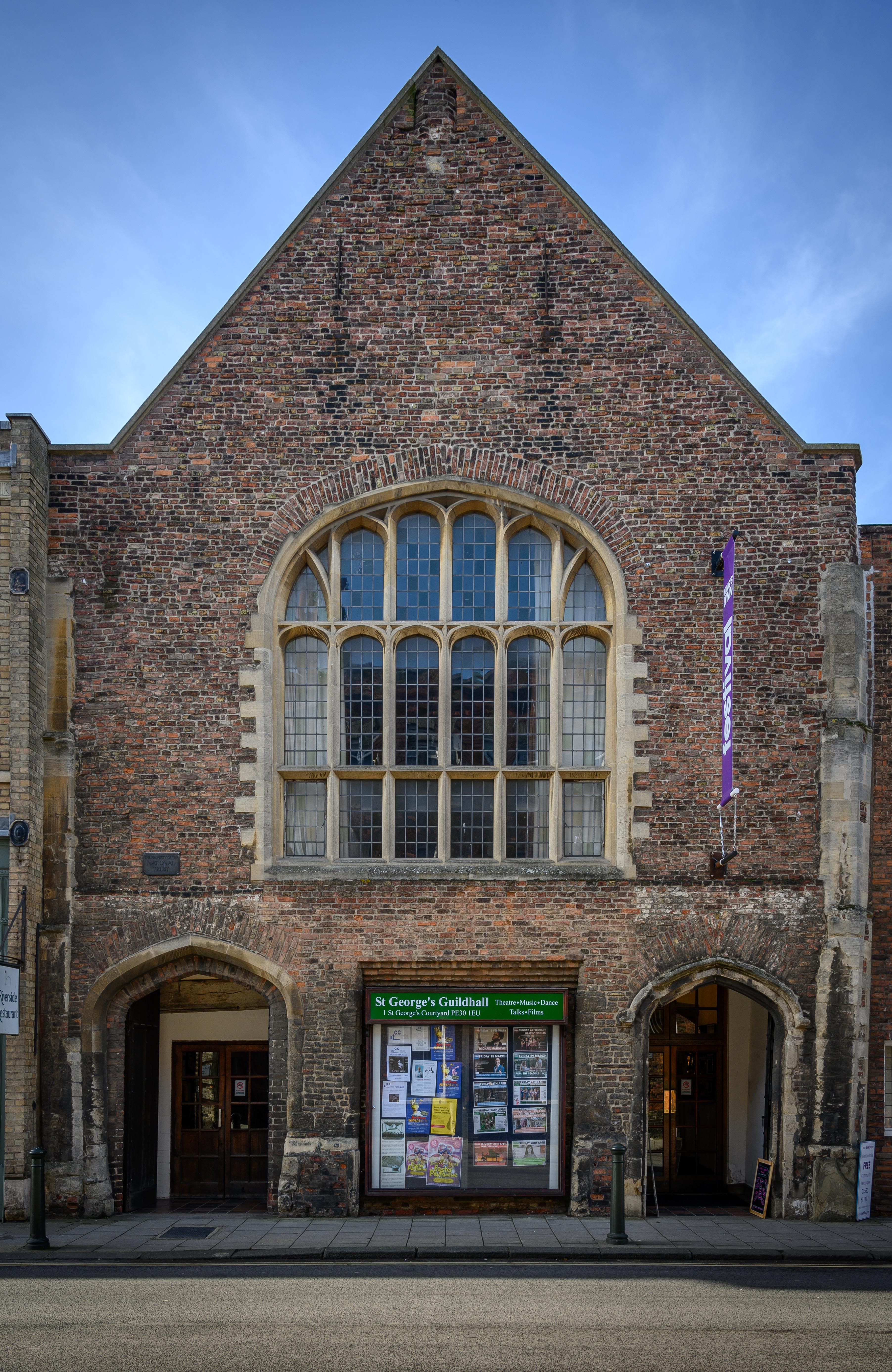
Guildhall of St George
The Guildhall of St George is a Grade I listed building in King’s Lynn, Norfolk, England. The Guild of St George was founded in 1376 and constructed the...
Nearby Amenities
Located within 500m of 52.76324,0.348532Have you been to Clenchwarton?
Leave your review of Clenchwarton below (or comments, questions and feedback).