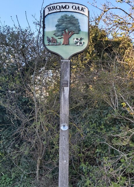
Broad Oak
Settlement in Kent Canterbury
England
Broad Oak
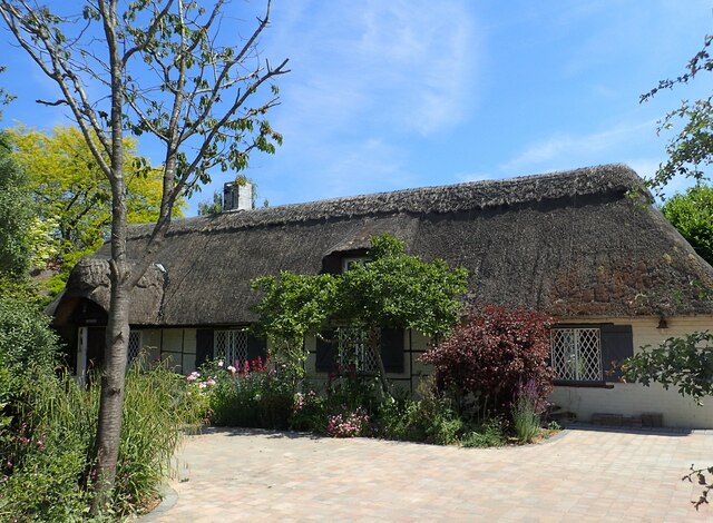
Broad Oak is a small village located in the county of Kent, in the southeast of England. Situated approximately 9 miles southeast of Canterbury, this rural community is nestled in the heart of the picturesque Kentish countryside.
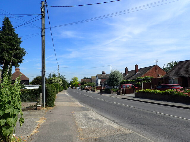
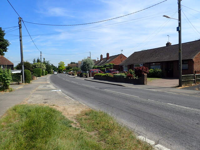
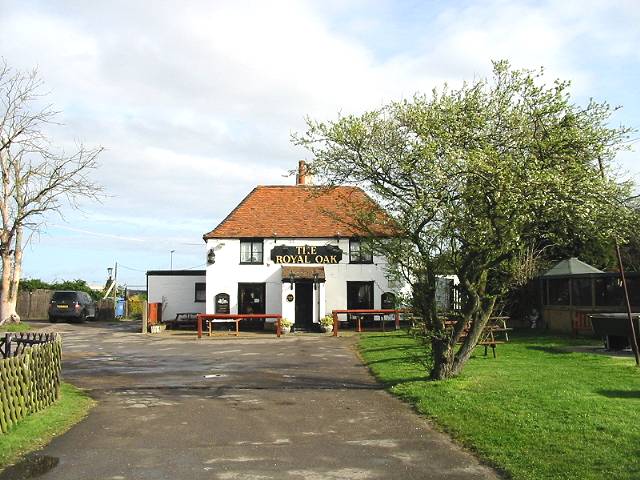
The village itself is characterized by its charming and quaint atmosphere, with a population of around 600 residents. The focal point of Broad Oak is its village green, a tranquil open space surrounded by a scattering of traditional cottages and a local pub. This green serves as a gathering place for community events and provides a peaceful spot for locals and visitors to relax.
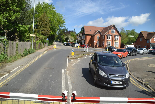
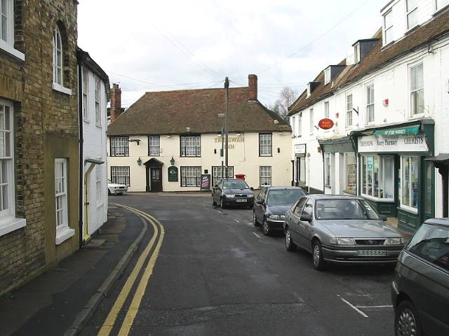
Broad Oak benefits from its close proximity to the larger towns of Canterbury and Ashford, which provide a range of amenities and services. The village is well-connected to these towns and other nearby areas via a network of roads, making it easily accessible for both residents and commuters.
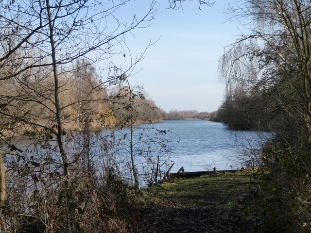
The surrounding countryside offers stunning views and ample opportunities for outdoor activities. Nature enthusiasts can explore nearby nature reserves, such as Blean Woods or Howletts Wild Animal Park, which are known for their diverse wildlife and beautiful landscapes.
Overall, Broad Oak is a charming village that offers a peaceful and idyllic lifestyle, surrounded by the natural beauty of the Kentish countryside.
If you have any feedback on the listing, please let us know in the comments section below.
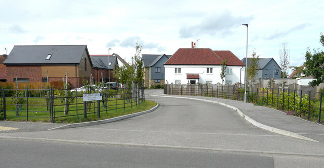
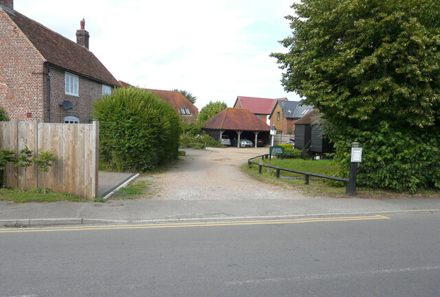
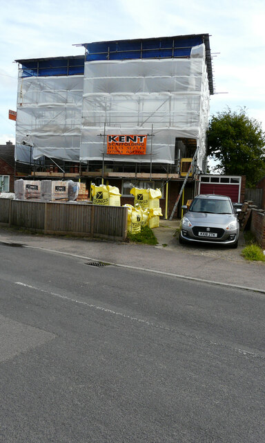
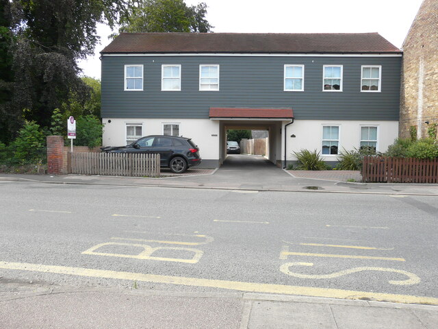
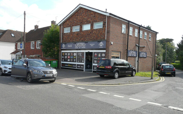
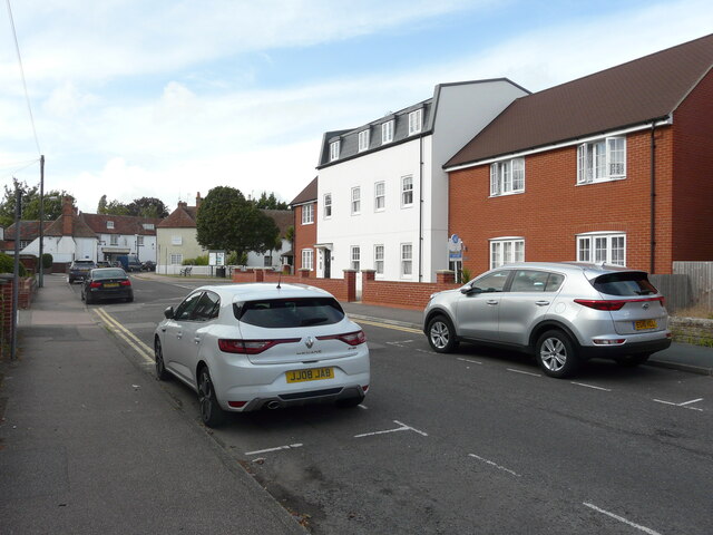
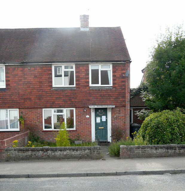
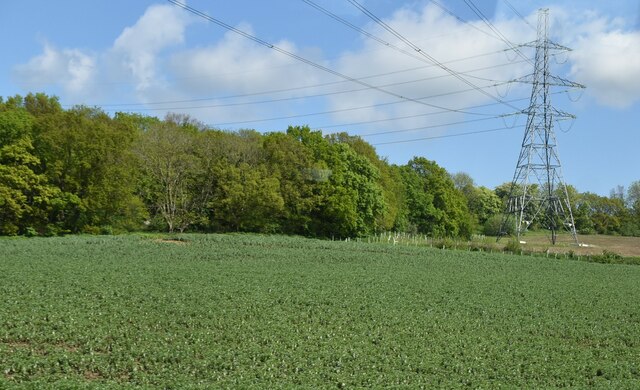
Broad Oak Images
Images are sourced within 2km of 51.309832/1.1085856 or Grid Reference TR1661. Thanks to Geograph Open Source API. All images are credited.

Broad Oak is located at Grid Ref: TR1661 (Lat: 51.309832, Lng: 1.1085856)
Administrative County: Kent
District: Canterbury
Police Authority: Kent
What 3 Words
///master.dumps.masking. Near Sturry, Kent
Nearby Locations
Related Wikis
Broad Oak, Kent
Broad Oak is a village in Sturry parish, Kent, England. It lies west of the A291 road to Herne Bay; the centre of the village is about half a mile northwest...

Sturry Pit
Sturry Pit is a 0.7 hectares (1.7 acres) geological Site of Special Scientific Interest north-east of Canterbury in Kent. It is a Geological Conservation...
Sturry
Sturry is a village on the Great Stour river situated 3 miles (4.8 km) northeast of Canterbury in Kent. Its large civil parish incorporates several hamlets...
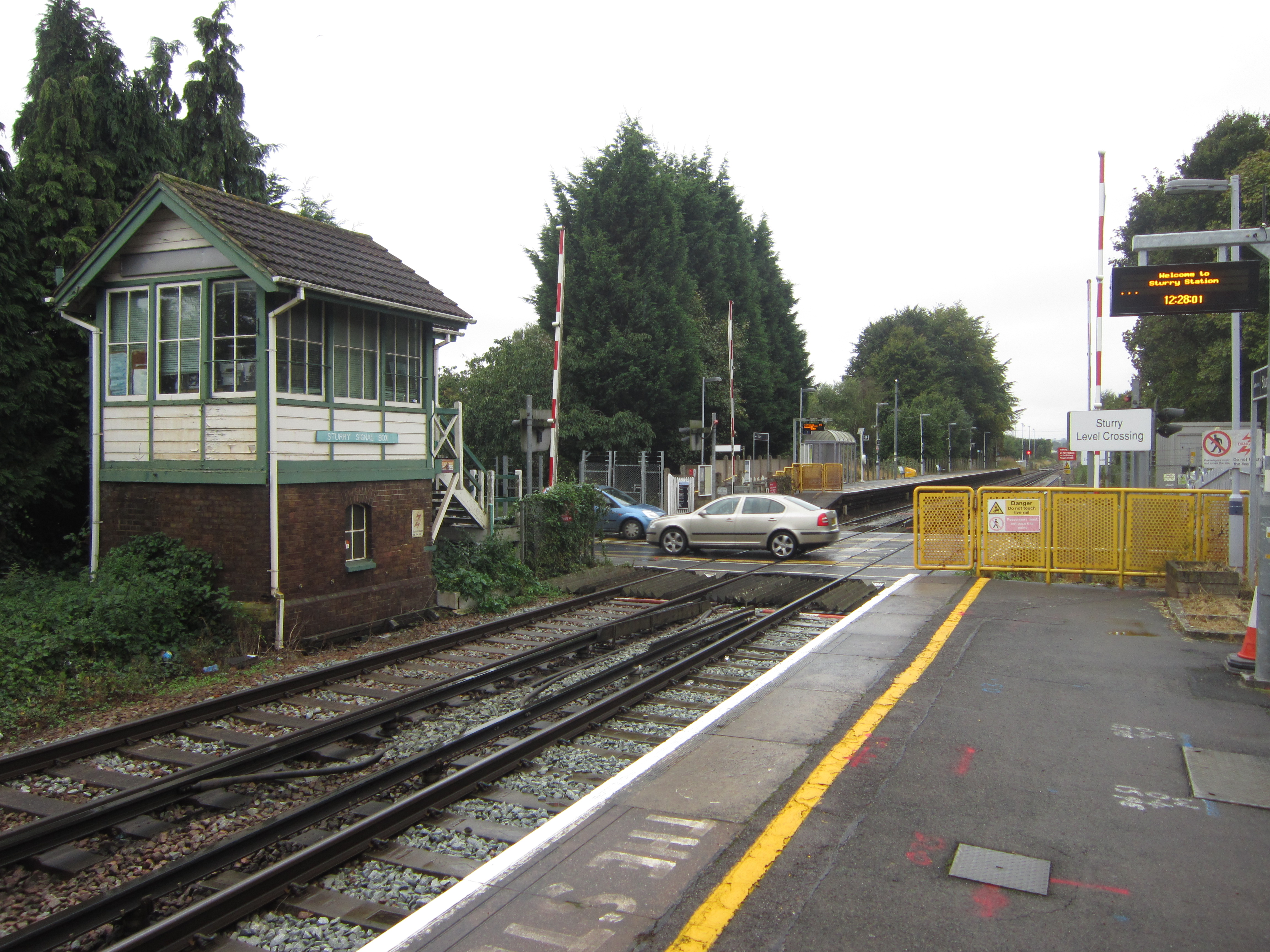
Sturry railway station
Sturry railway station is a railway station Kent, England, serving Sturry and Fordwich on the Ashford to Ramsgate line in Kent. It is 2+1⁄4 miles (3.6...

Tithe Barn, Sturry
The Tithe Barn, Sturry, Kent, England is a barn dating from the early 16th century. The barn was built as the tithe barn for the grange of St Augustine...

Calcott, Kent
Calcott is a hamlet in Sturry parish, in the Canterbury District of the English county of Kent. It lies on the A291 road, about 1+1⁄2 miles (2.4 km) north...

St Nicholas' Church, Sturry
St Nicholas' Church, Sturry, is a joint Anglican and Methodist church standing on a bank beside the River Stour, in the village of Sturry, near Canterbury...
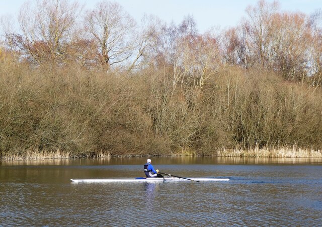
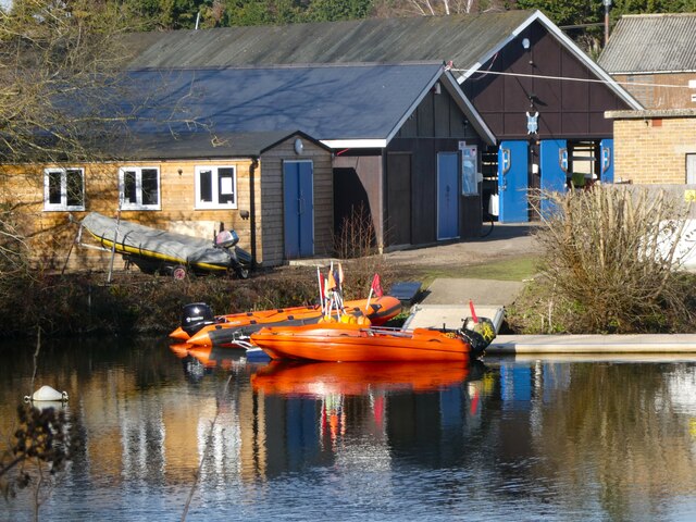
King's School Canterbury Boat Club
King's School Canterbury Boat Club is a rowing club based at Brett Sturry Quarry, Westbere Lakes, Sturry, Canterbury, Kent. == History == The club has...
Nearby Amenities
Located within 500m of 51.309832,1.1085856Have you been to Broad Oak?
Leave your review of Broad Oak below (or comments, questions and feedback).