Clawson, Hose and Harby

Civil Parish in Leicestershire Melton

England

Clawson, Hose and Harby

Meadows Lane crossing Wash Dyke At the junction, Canal Lane runs left to Long Clawson, and Hose lane goes right towards Colston Bassett.
Meadows Lane crossing Wash Dyke Credit: Tim Heaton

Clawson, Hose, and Harby is a civil parish located in the county of Leicestershire, England. It is situated approximately 12 miles northeast of the city of Leicester. The parish is made up of three small villages - Long Clawson, Hose, and Harby - each with its own distinctive characteristics and charm.

Long Clawson is the largest of the three villages and is known for its famous Stilton cheese production. The village is home to the Long Clawson Dairy, which has been producing Stilton cheese since the early 20th century. The dairy is a significant employer in the area and has gained recognition for its high-quality products.

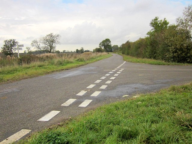
Hose is a small village that lies to the south of Long Clawson. It is a quiet and picturesque place with a close-knit community. The village is surrounded by beautiful countryside, making it an ideal location for outdoor activities such as walking and cycling.

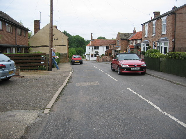
Harby, the smallest of the three villages, is located to the west of Long Clawson. It is a traditional English village with a mix of old and new houses. The village has a strong sense of community and is known for its annual Harby Festival, which celebrates local talent and showcases various forms of art and culture.

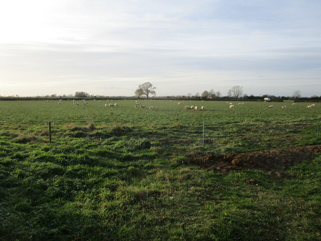
Overall, Clawson, Hose, and Harby offer a peaceful and rural lifestyle surrounded by stunning landscapes. The area is known for its agricultural heritage, with farming being a significant part of the local economy. Additionally, the close proximity to larger towns and cities provides access to further amenities and opportunities for residents.

If you have any feedback on the listing, please let us know in the comments section below.

Clawson, Hose and Harby Images

Images are sourced within 2km of 52.850554/-0.912003 or Grid Reference SK7328. Thanks to Geograph Open Source API. All images are credited.

Meadows Lane crossing Wash Dyke At the junction, Canal Lane runs left to Long Clawson, and Hose lane goes right towards Colston Bassett.
Meadows Lane crossing Wash Dyke
At the junction, Canal Lane runs left to Long Clawson, and Hose lane goes right towards Colston Bassett.
Stubble field near Hall Farm, Long Clawson
Rusting shed, Hose Lane
Dutch barn, Hose Lane
Grass field with sheep, Hose Lane
Seven swans a-swimming Five cygnets and two adults on the Grantham canal.
Seven swans a-swimming
Five cygnets and two adults on the Grantham canal.
Frozen canal With a light dusting of snow.
Frozen canal
With a light dusting of snow.
Bridge over the canal Before the Grantham Canal can once again become navigable, this bridge, and many like it, will need to be replaced.
Bridge over the canal
Before the Grantham Canal can once again become navigable, this bridge, and many like it, will need to be replaced.
Public bridleway leading to Hose
Public bridleway to Waltham Lane
Meadows Lane Bridleway G36/2 leaves the straight lane on the left at this point, opposite Vale Farm.
Meadows Lane
Bridleway G36/2 leaves the straight lane on the left at this point, opposite Vale Farm.
Gate on path west of Grantham Canal On footpath G50A/1 and heading for the canal. Not sure whether there's supposed to be a stile on the right; I climbed over the gate.
Gate on path west of Grantham Canal
On footpath G50A/1 and heading for the canal. Not sure whether there's supposed to be a stile on the right; I climbed over the gate.
Canal Lane Further along then the scene in <a href="https://www.geograph.org.uk/photo/945266">SK7230 : Canal Lane in Northeast Leicestershire</a>, and approaching the junction with Meadows Lane <a href="https://www.geograph.org.uk/photo/1069484">SK7230 : Junction of Canal Lane and Meadows Lane</a>.
Canal Lane
Further along then the scene in SK7230 : Canal Lane in Northeast Leicestershire, and approaching the junction with Meadows Lane SK7230 : Junction of Canal Lane and Meadows Lane.
Junction of Canal Lane and Meadows Lane Even gloomier than as shown in <a href="https://www.geograph.org.uk/photo/1069484">SK7230 : Junction of Canal Lane and Meadows Lane</a>, but perhaps a tad less desolate, thanks to some leaves on some trees.
Junction of Canal Lane and Meadows Lane
Even gloomier than as shown in SK7230 : Junction of Canal Lane and Meadows Lane, but perhaps a tad less desolate, thanks to some leaves on some trees.
Field boundary by Meadows Lane Curving away from the lane shown in <a href="https://www.geograph.org.uk/photo/1069479">SK7230 : Meadows Lane</a>.
Field boundary by Meadows Lane
Curving away from the lane shown in SK7230 : Meadows Lane.
Ditch somewhere near Meadows Lane Providing the main landscape feature of this field boundary, cutting away from bridleway G36/2 across flat fields. The contents flow into the Wash Dyke, itself a tributary of the Stroom Dyke.
Ditch somewhere near Meadows Lane
Providing the main landscape feature of this field boundary, cutting away from bridleway G36/2 across flat fields. The contents flow into the Wash Dyke, itself a tributary of the Stroom Dyke.
Bridleway north of Meadows Lane The bridleway, G36/2, makes a right turn at the field boundary ahead, towards the Grantham Canal. The distant barn on the left is at White House Farm.
Bridleway north of Meadows Lane
The bridleway, G36/2, makes a right turn at the field boundary ahead, towards the Grantham Canal. The distant barn on the left is at White House Farm.
Field boundary, Vale of Belvoir Looking towards the Grantham Canal from bridleway G36/2.
Field boundary, Vale of Belvoir
Looking towards the Grantham Canal from bridleway G36/2.
Show me another place!

Clawson, Hose and Harby is located at Grid Ref: SK7328 (Lat: 52.850554, Lng: -0.912003)

Administrative County: Leicestershire

District: Melton

Police Authority: Leicestershire

What 3 Words

///firewall.installs.shirts. Near Long Clawson, Leicestershire

Nearby Locations

Clawson, Hose and Harby

Related Wikis

Hose, Leicestershire

Hose is a village and former civil parish, now in the parish of Clawson, Hose and Harby, in the Borough of Melton and the county of Leicestershire, England...

Clawson, Hose and Harby

Clawson, Hose and Harby is a civil parish in Leicestershire, England, forming part of the Melton district. It contains the villages of Harby, Hose and...

Long Clawson

Long Clawson is a village and former civil parish, now included in that of Clawson, Hose and Harby, in the Melton district and the county of Leicestershire...

Long Clawson and Hose railway station

Long Clawson and Hose railway station was a railway station serving the villages of Long Clawson and Hose, Leicestershire on the Great Northern and London...

Nearby Amenities

Located within 500m of 52.850554,-0.912003
The data included in this document is from www.openstreetmap.org. The data is made available under ODbL.

Have you been to Clawson, Hose and Harby?

Leave your review of Clawson, Hose and Harby below (or comments, questions and feedback).