Clapham
Civil Parish in Bedfordshire
England
Clapham

Clapham is a civil parish located in the county of Bedfordshire, England. It is situated approximately 3 miles north-west of Bedford, the county town. The parish covers an area of around 1,400 acres and is bordered by the River Great Ouse to the east.
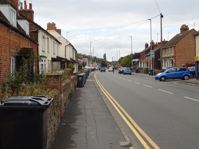
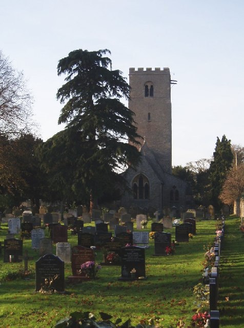
The village of Clapham has a population of approximately 3,000 residents. It is a picturesque village with a rich history dating back to the Roman times. The village is known for its beautiful cottages and historic buildings, including the Grade I listed All Saints Church, which dates back to the 13th century.
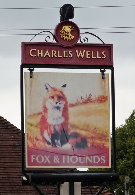
Clapham is a vibrant community with a range of amenities and services. The village has a primary school, a post office, a village hall, and a number of shops and local businesses. There are also several pubs and restaurants, providing a variety of dining options for residents and visitors.
The surrounding countryside offers plenty of opportunities for outdoor activities. Clapham Park, a local green space, provides a peaceful setting for walks and picnics. The nearby River Great Ouse is popular for boating and fishing.
Transport links in Clapham are convenient, with regular bus services connecting the village to nearby towns and cities. The A6 road, which passes through the village, provides easy access to Bedford and other major road networks.
Overall, Clapham, Bedfordshire is a charming and well-connected village, offering a peaceful rural lifestyle with easy access to amenities and transport links.
If you have any feedback on the listing, please let us know in the comments section below.
Clapham Images
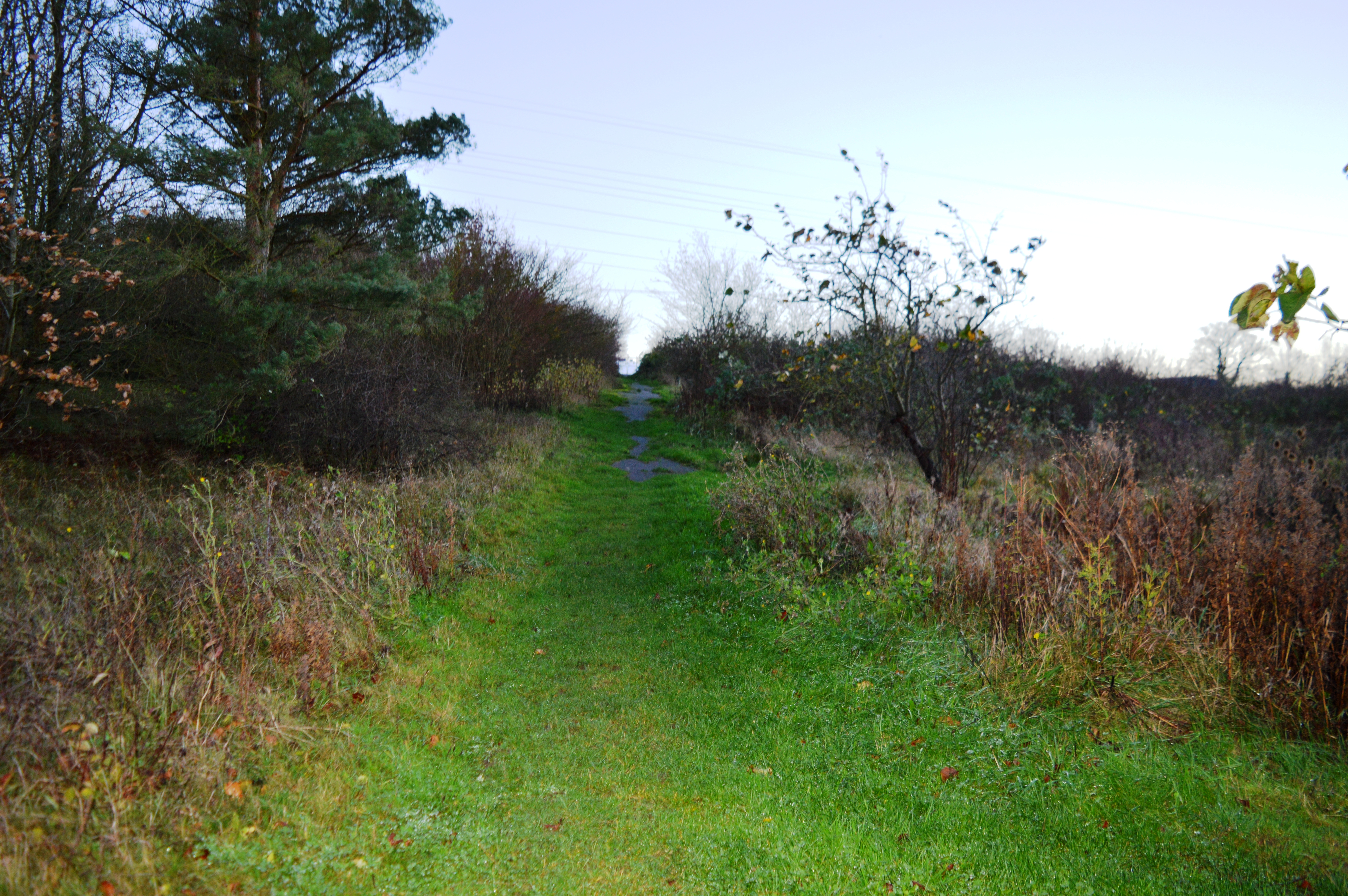
Images are sourced within 2km of 52.172285/-0.48729 or Grid Reference TL0353. Thanks to Geograph Open Source API. All images are credited.


Clapham is located at Grid Ref: TL0353 (Lat: 52.172285, Lng: -0.48729)
Unitary Authority: Bedford
Police Authority: Bedfordshire
What 3 Words
///twice.ecologist.meant. Near Clapham, Bedfordshire
Nearby Locations
Related Wikis

Bedford & County Golf Club
Bedford & County Golf Club is a golf club to the northeast of Clapham, Bedfordshire, England. It was established in 1912. As of 1995 the course measured...

RAF Twinwood Farm
Royal Air Force Twinwood Farm or more simply RAF Twinwood Farm is a former Royal Air Force satellite station located 4 mi (6.4 km) north of Bedford, Bedfordshire...
Church of St Thomas of Canterbury, Clapham, Bedfordshire
Church of St Thomas of Canterbury (also Clapham Parish Church, or Thomas à Becket) is a parish church and Grade I listed building in Clapham, Bedfordshire...

Browns Wood Local Nature Reserve
Browns Wood is a six hectare Local Nature Reserve north of Clapham in Bedfordshire. It is owned and managed by Bedford Borough Council.The wood was planted...

Clapham, Bedfordshire
Clapham is a village and civil parish in the Borough of Bedford in Bedfordshire, England. It had a population of 3,643 as at the 2001 census, increasing...
St Thomas More Catholic School, Bedford
St Thomas More Catholic School is a mixed secondary school and sixth form located in Bedford in the English county of Bedfordshire. The school is located...
Park Wood, Bedford
Park Wood is a 5.2 hectare Local Nature Reserve located in the Brickhill area of Bedford. It is owned by Bedford Borough Council and managed by the council...
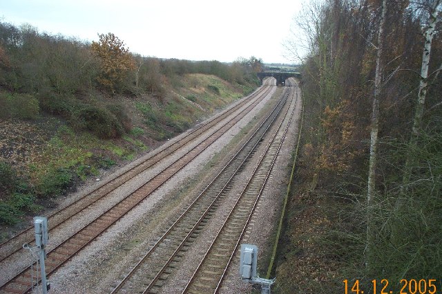
Oakley railway station (Bedfordshire)
Oakley railway station was built by the Midland Railway in 1857 on its extension from Leicester to Bedford and Hitchin. It was closed to passengers in...
Nearby Amenities
Located within 500m of 52.172285,-0.48729Have you been to Clapham?
Leave your review of Clapham below (or comments, questions and feedback).