Churcham

Civil Parish in Gloucestershire Forest of Dean

England

Churcham

Track in Highnam Woods Track through Highnam Woods on a frosty December morning.
Track in Highnam Woods Credit: Philip Halling

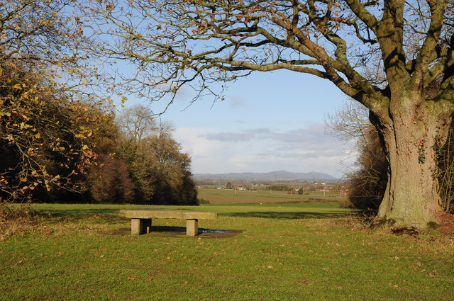
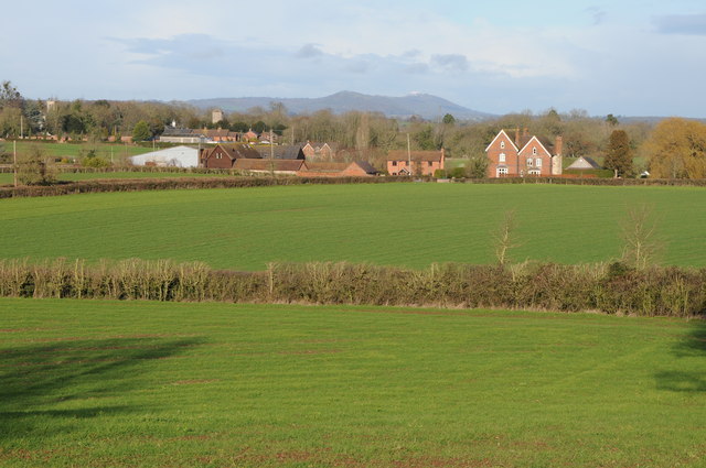
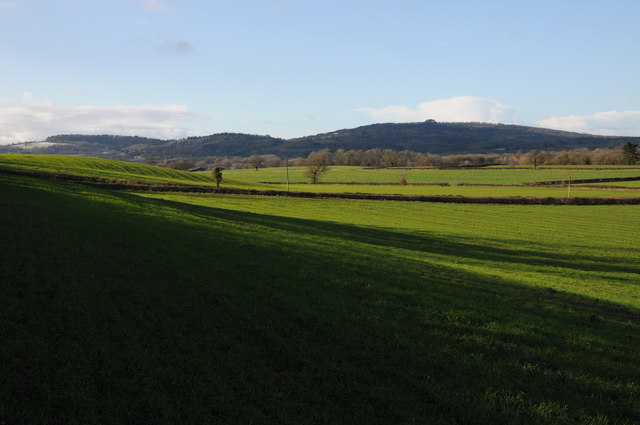
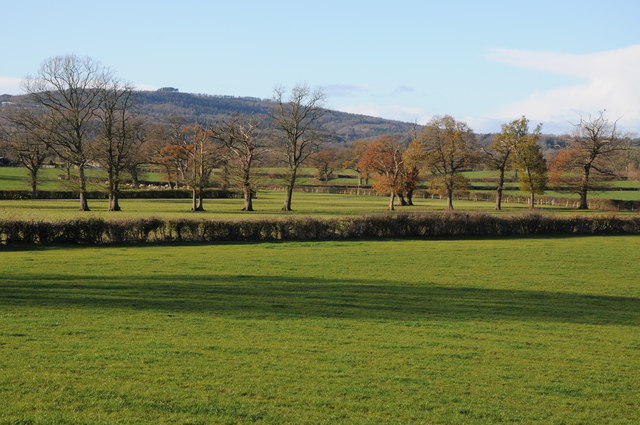
Churcham is a civil parish located in the county of Gloucestershire, England. Situated approximately 7 miles west of the city of Gloucester, it covers an area of around 8 square miles. The parish is primarily rural, characterized by picturesque landscapes and rolling hills, with the River Severn flowing to the west.

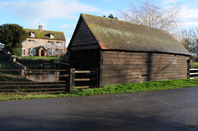
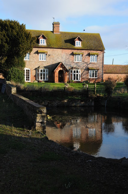
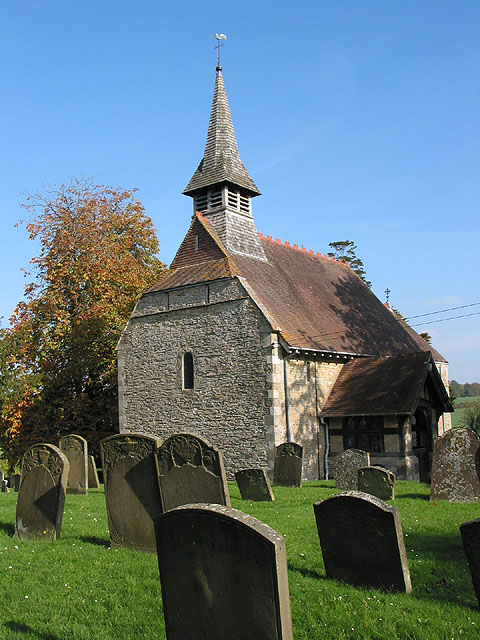
The village of Churcham itself is a small settlement with a population of around 400 people. It is known for its quaint and charming atmosphere, with a mix of traditional stone cottages and more modern houses. The local church, St. Andrew's, is a prominent feature and dates back to the 12th century, offering a glimpse into the area's rich history.

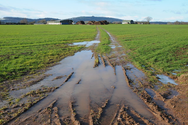
Agriculture plays a significant role in the economy of Churcham, with many farms dotting the surrounding countryside. The fertile land supports a variety of crops, including wheat, barley, and vegetables. Livestock farming, particularly sheep and cattle rearing, is also prevalent.

The parish offers a range of amenities for its residents and visitors. These include a village hall, a primary school, and a local pub. The village hall acts as a community hub, hosting various events and activities throughout the year.

Churcham is well-connected to nearby towns and cities. The A40 road runs through the parish, providing easy access to Gloucester and other destinations. Additionally, public transportation options, such as buses, ensure connectivity to the wider region.

Overall, Churcham is a peaceful and picturesque civil parish, offering a rural lifestyle with access to modern amenities and nearby urban centers.

If you have any feedback on the listing, please let us know in the comments section below.
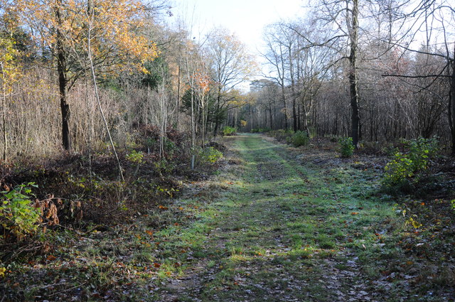
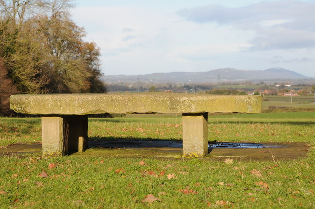
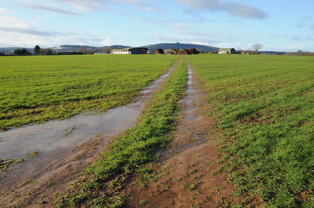
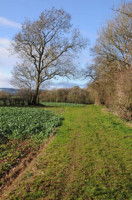
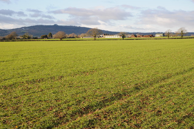
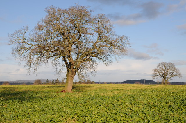
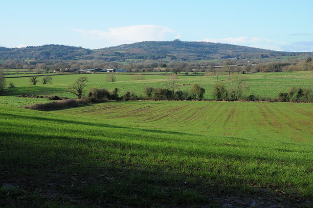
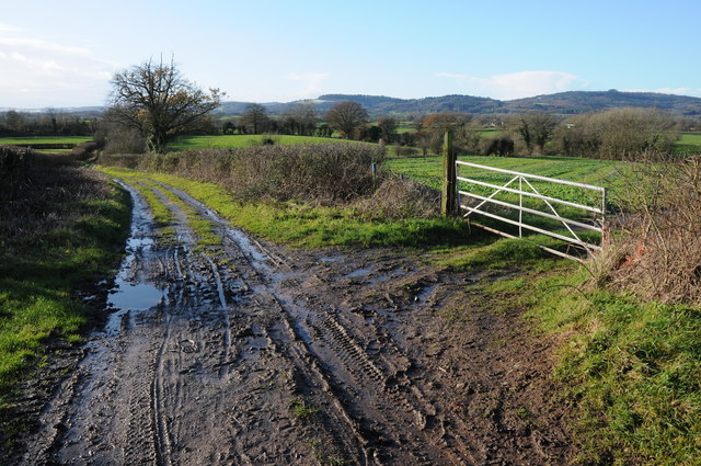
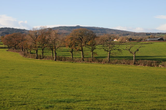
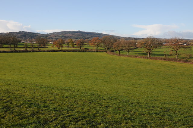
Churcham Images

Images are sourced within 2km of 51.868205/-2.355424 or Grid Reference SO7518. Thanks to Geograph Open Source API. All images are credited.

Track in Highnam Woods Track through Highnam Woods on a frosty December morning.
Track in Highnam Woods
Track through Highnam Woods on a frosty December morning.
Memorial bench, Bulley This bench beside Desmesne Wood has an inscription to Morgan Philips Price 'who owned and loved these woods'.  The Malvern Hills can be seen in the distance.
Memorial bench, Bulley
This bench beside Desmesne Wood has an inscription to Morgan Philips Price 'who owned and loved these woods'. The Malvern Hills can be seen in the distance.
Memorial bench, Bulley Memorial bench to Morgan Philips Price 'who owned and loved these woods'.  The Malvern
Memorial bench, Bulley
Memorial bench to Morgan Philips Price 'who owned and loved these woods'. The Malvern
Colliers End Farm Track across a field to Colliers End with May Hill in the background.
Colliers End Farm
Track across a field to Colliers End with May Hill in the background.
Colliers End Farm Track across a field to Colliers End with May Hill in the background.
Colliers End Farm
Track across a field to Colliers End with May Hill in the background.
Footpath beside Desmesne Wood Footpath beside Desmesne Wood near Bulley.
Footpath beside Desmesne Wood
Footpath beside Desmesne Wood near Bulley.
Colliers End Farm Colliers End Farm viewed across an arable field.  May Hill is in the distance.
Colliers End Farm
Colliers End Farm viewed across an arable field. May Hill is in the distance.
Trees in an arable field Trees in an arable field probably marking the line of a former hedge near Collier's End.  The Malvern Hills can be seen in the horizon.
Trees in an arable field
Trees in an arable field probably marking the line of a former hedge near Collier's End. The Malvern Hills can be seen in the horizon.
View to Tibberton View to the village of Tibberton with the church tower in middle distance, the Malvern Hills are on the horizon.
View to Tibberton
View to the village of Tibberton with the church tower in middle distance, the Malvern Hills are on the horizon.
May Hill View to May Hill from Collier's End.
May Hill
View to May Hill from Collier's End.
Colliers End Farm Colliers End Farm near Bulley comprises a number of traditional farm buildings.
Colliers End Farm
Colliers End Farm near Bulley comprises a number of traditional farm buildings.
Colliers End Farm Traditional farmhouse complete with pond at Colliers End Farm near Bulley.
Colliers End Farm
Traditional farmhouse complete with pond at Colliers End Farm near Bulley.
May Hill May Hill viewed from near Collier's End.
May Hill
May Hill viewed from near Collier's End.
Track near Colliers End Track near Colliers Elm with May Hill on the horizon to the right.
Track near Colliers End
Track near Colliers Elm with May Hill on the horizon to the right.
Farmland near Merrimans, Huntley A line of trees mark a hedgerow, Merrimans Farm can be seen to the right with May Hill in the background.
Farmland near Merrimans, Huntley
A line of trees mark a hedgerow, Merrimans Farm can be seen to the right with May Hill in the background.
View to May Hill View to May Hill from a footpath situated between Bulley and Huntley.
View to May Hill
View to May Hill from a footpath situated between Bulley and Huntley.
Line of trees Line of trees in a field near Birdwood possibly marking the line of a former hedge, May Hall is in the distance.
Line of trees
Line of trees in a field near Birdwood possibly marking the line of a former hedge, May Hall is in the distance.
St. Andrew's church, Churcham Occupying a hilltop position above the Vale of Gloucester, the distinctive spire of this parish church is explained in <a href="https://www.geograph.org.uk/photo/592012">SO7618 : St. Andrew's Church, Churcham</a>.
Pictured on Good Friday, 2011.
St. Andrew's church, Churcham
Occupying a hilltop position above the Vale of Gloucester, the distinctive spire of this parish church is explained in SO7618 : St. Andrew's Church, Churcham. Pictured on Good Friday, 2011.
Show me another place!

Churcham is located at Grid Ref: SO7518 (Lat: 51.868205, Lng: -2.355424)

Administrative County: Gloucestershire

District: Forest of Dean

Police Authority: Gloucestershire

What 3 Words

///prefect.blindfold.gears. Near Huntley, Gloucestershire

Nearby Locations

Churcham

Related Wikis

Bulley

Bulley is a village and former civil parish, now in the parish of Churcham, in the Forest of Dean district, in Gloucestershire, almost 7 miles (11 km)...

Churcham

Churcham is a small village and civil parish in the Forest of Dean District of Gloucestershire in England, located 4 miles (6.4 km) west of Gloucester...

Oakle Street railway station

Oakle Street railway station served the village of Oakle Street, Gloucestershire, England from 1851 to 1964 on the Gloucester-Newport line. == History... ==

School of the Lion

The School of the Lion was an independent school based in Churcham, Gloucestershire. The school was founded in by 1987 by a group of Gloucestershire-based...

Nearby Amenities

Located within 500m of 51.868205,-2.355424
The data included in this document is from www.openstreetmap.org. The data is made available under ODbL.

Have you been to Churcham?

Leave your review of Churcham below (or comments, questions and feedback).