Chipstable
Civil Parish in Somerset Somerset West and Taunton
England
Chipstable

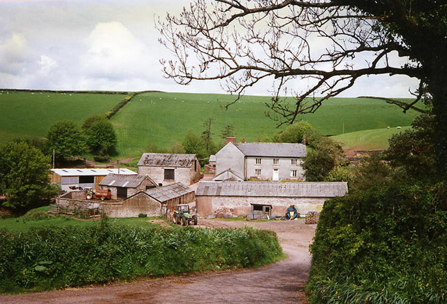
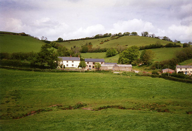
Chipstable is a civil parish located in Somerset, England. Situated within the Taunton Deane district, it covers an area of approximately 5.61 square kilometers. The parish is nestled in the picturesque Brendon Hills, offering stunning views of the surrounding countryside.
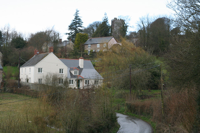
The village of Chipstable itself is small and charming, with a population of around 200 residents. The architecture in the area is predominantly traditional, with many historic buildings dotting the landscape. These include the Grade II listed Church of St. Margaret, which dates back to the 14th century and is a prominent feature of the village.
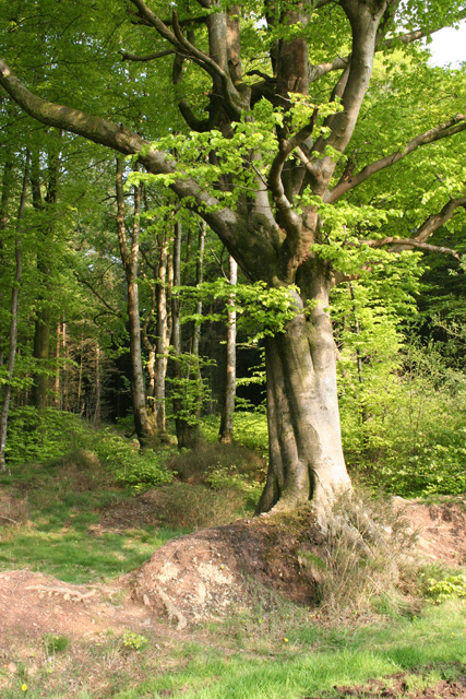
The parish is known for its agricultural heritage, with farming playing a significant role in the local economy. The fertile land is used for various purposes, including livestock rearing and crop cultivation. As a result, the countryside is adorned with lush green fields and rolling hills, making it an ideal location for outdoor activities such as hiking and horse riding.
Chipstable is also home to a close-knit community that values its rural surroundings. The village has a village hall, which serves as a hub for social gatherings and community events. Residents can also enjoy the tranquility of the nearby Chipstable Common, a designated Site of Special Scientific Interest that provides a peaceful retreat for nature lovers.
Overall, Chipstable is a picturesque civil parish in Somerset that offers a rural lifestyle and a strong sense of community. Its stunning countryside, historic buildings, and agricultural heritage make it an attractive place to live or visit for those seeking a tranquil escape.
If you have any feedback on the listing, please let us know in the comments section below.
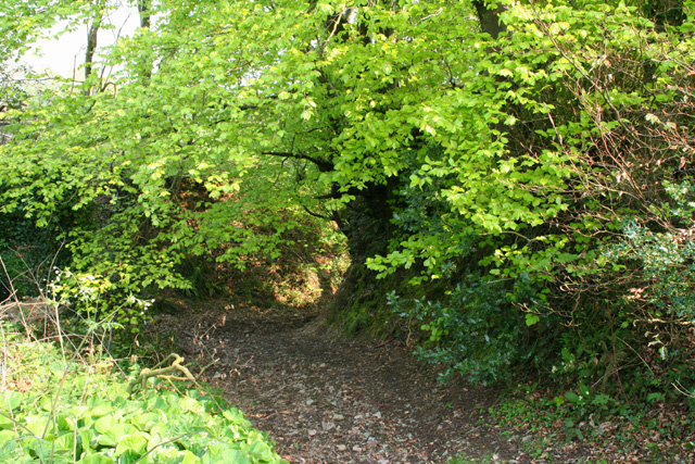
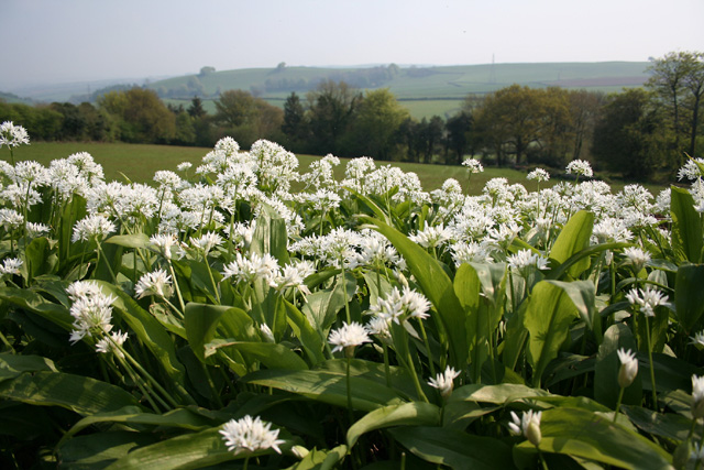
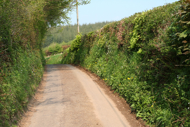
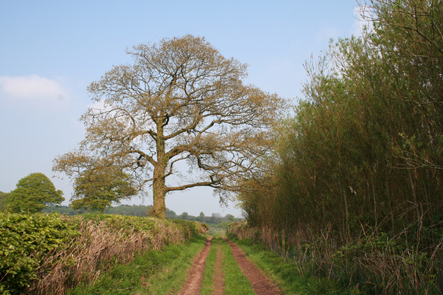
Chipstable Images
Images are sourced within 2km of 51.028174/-3.376314 or Grid Reference ST0326. Thanks to Geograph Open Source API. All images are credited.


Chipstable is located at Grid Ref: ST0326 (Lat: 51.028174, Lng: -3.376314)
Administrative County: Somerset
District: Somerset West and Taunton
Police Authority: Avon and Somerset
What 3 Words
///vies.outlined.monkeys. Near Wiveliscombe, Somerset
Nearby Locations
Related Wikis

Church of All Saints, Chipstable
The Church of All Saints is an Anglican church in Chipstable, Somerset, England which probably dates from the early 13th century. It is located in the...

Chipstable
Chipstable is a village and civil parish in Somerset, England, situated beside Heydon Hill 10 miles (16.1 km) west of Taunton. The parish has a population...

Castles Camp
Castles Camp is a univallate Iron Age hill fort in the Taunton Deane district of Somerset, England. The hill fort is situated approximately 1 mile (1.6...

Huish Champflower
Huish Champflower is a village and civil parish in Somerset, England, three miles north-west of Wiveliscombe and ten miles north of Wellington. It has...

Petton, Devon
Petton, also known as Petton Cross, is an English village in the civil parish of Bampton, the district of Mid Devon, and the county of Devon. It lies on...

Clayhanger, Devon
Clayhanger is a hamlet and civil parish in the Mid Devon district of Devon, England. At the time of the 2011 census it had a population of 127. == Roman... ==
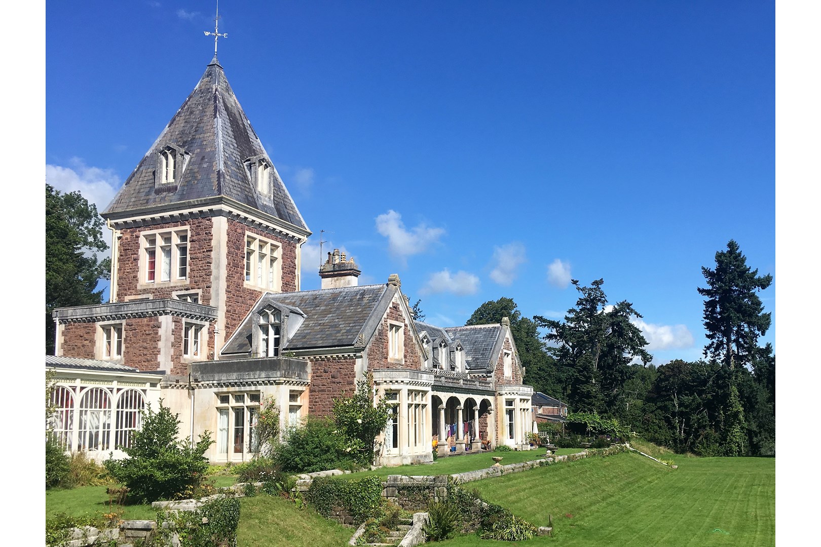
Abbotsfield, Wiveliscombe
Abbotsfield is a country house and farm, to the west of the town of Wiveliscombe, Somerset, England. Built in 1872, it became a Grade II listed building...
Bathealton Court
Bathealton Court is a Grade II listed country house in Bathealton, Somerset, England. It was built in around 1766 and underwent significant alteration...
Nearby Amenities
Located within 500m of 51.028174,-3.376314Have you been to Chipstable?
Leave your review of Chipstable below (or comments, questions and feedback).