Chipping Norton
Civil Parish in Oxfordshire West Oxfordshire
England
Chipping Norton

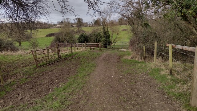
Chipping Norton is a civil parish located in the county of Oxfordshire, England. Situated in the Cotswold Hills, it is about 20 miles northwest of the city of Oxford and 12 miles southwest of Banbury. The town itself is part of the larger West Oxfordshire district.
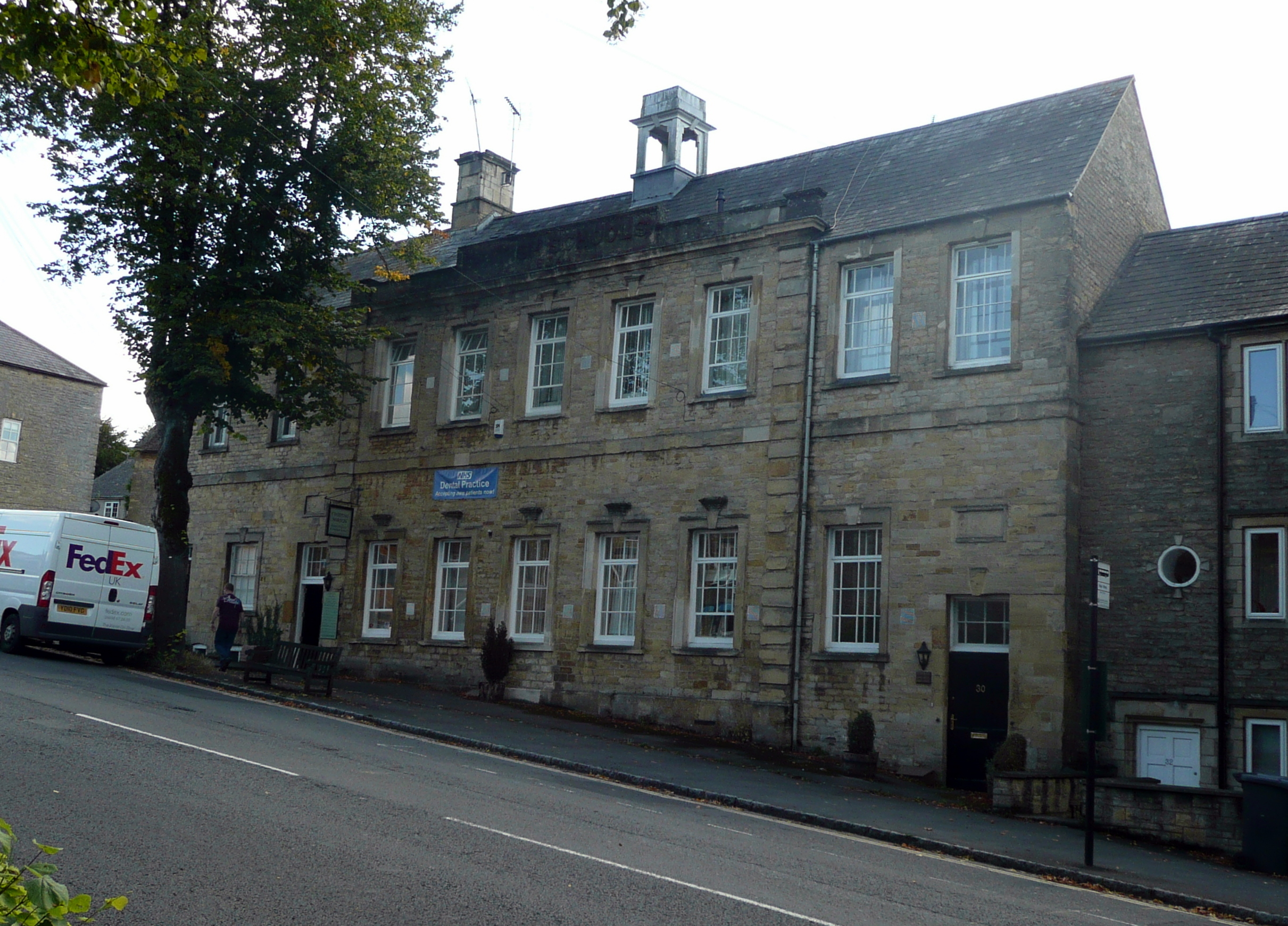
Chipping Norton is a historic market town, known for its picturesque setting and charming architecture. The town is built around a central market square, which has been the heart of the community for centuries. The square is surrounded by a variety of independent shops, pubs, and cafes, offering a range of goods and services to residents and visitors alike.
The town also boasts several notable landmarks and attractions. The Chipping Norton Museum showcases the local history and heritage of the area, while the Bliss Tweed Mill is a popular spot for those interested in textiles and weaving. For nature enthusiasts, the nearby Rollright Stones, a collection of ancient megalithic monuments, provide a fascinating glimpse into the region's prehistoric past.
Chipping Norton is also well-connected, with good transport links to nearby towns and cities. The town has its own railway station, providing regular services to Oxford, London, and other major destinations. Additionally, a number of bus routes pass through the area, making it easy to travel to surrounding areas.
In terms of amenities, Chipping Norton has a range of facilities including schools, healthcare services, and recreational spaces. The town is also home to a number of community organizations and hosts various events throughout the year, fostering a strong sense of community spirit.
Overall, Chipping Norton is a charming and vibrant town with a rich history and a range of amenities to suit residents and visitors alike.
If you have any feedback on the listing, please let us know in the comments section below.
Chipping Norton Images
Images are sourced within 2km of 51.937731/-1.542343 or Grid Reference SP3126. Thanks to Geograph Open Source API. All images are credited.


Chipping Norton is located at Grid Ref: SP3126 (Lat: 51.937731, Lng: -1.542343)
Administrative County: Oxfordshire
District: West Oxfordshire
Police Authority: Thames Valley
What 3 Words
///succumbs.bikers.inflame. Near Chipping Norton, Oxfordshire
Nearby Locations
Related Wikis

Chipping Norton School
Chipping Norton School is a mixed secondary school with academy status located in Chipping Norton, Oxfordshire, United Kingdom. It is attended by 1000...
Chipping Norton Museum
Chipping Norton Museum (aka Chipping Norton Museum of Local History) is an independent local museum located on the High Street in the town of Chipping...
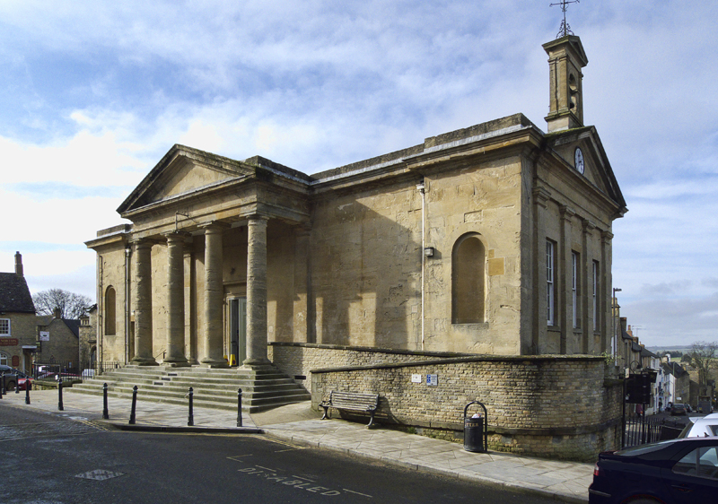
Chipping Norton Town Hall
Chipping Norton Town Hall is a municipal building in the Market Place, Chipping Norton, Oxfordshire, England. The building, which is used as an events...
Chipping Norton Recording Studios
Chipping Norton Recording Studios was a residential recording studio in Chipping Norton, Oxfordshire, England, which operated from 1971 until October...

Chipping Norton
Chipping Norton is a market town and civil parish in the Cotswold Hills in the West Oxfordshire district of Oxfordshire, England, about 12 miles (19 km...
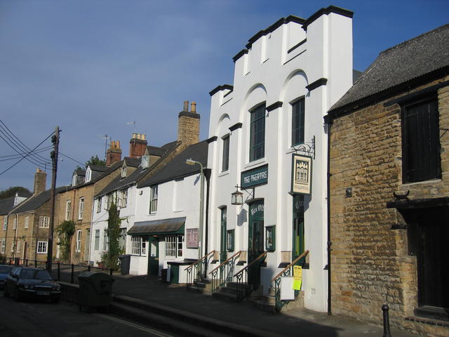
The Theatre Chipping Norton
The Theatre Chipping Norton, sometimes The Theatre, Chipping Norton, is a multi-arts theatre, cinema, gallery and music venue in Chipping Norton, Oxfordshire...
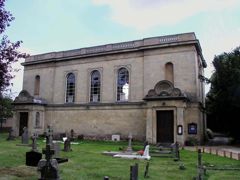
Holy Trinity Church, Chipping Norton
Holy Trinity Church is a historic Catholic parish church in Chipping Norton, Oxfordshire, England. It is situated on the London road in the centre of the...
Chipping Norton Rural District
Chipping Norton Rural District was a rural district in Oxfordshire, England from 1894 to 1974. It surrounded but did not include the town of Chipping Norton...
Nearby Amenities
Located within 500m of 51.937731,-1.542343Have you been to Chipping Norton?
Leave your review of Chipping Norton below (or comments, questions and feedback).