Chipping
Civil Parish in Lancashire Ribble Valley
England
Chipping
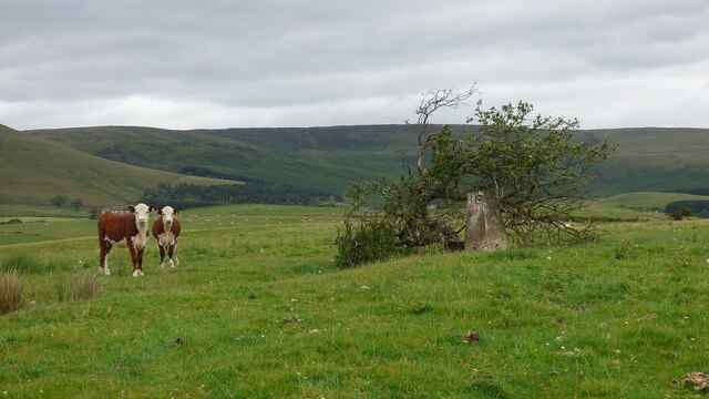
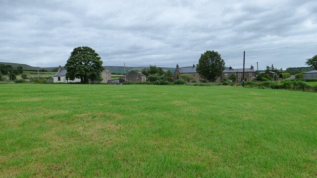
Chipping is a civil parish located in the Ribble Valley district of Lancashire, England. It is a picturesque village situated in the Forest of Bowland, an Area of Outstanding Natural Beauty. The parish covers an area of approximately 6 square miles and has a population of around 500 residents.
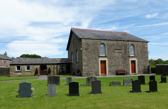
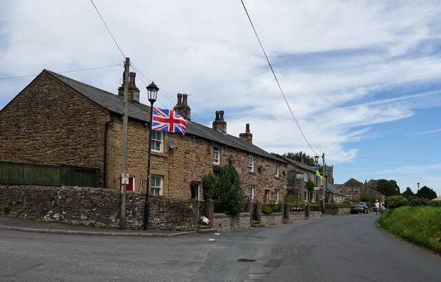
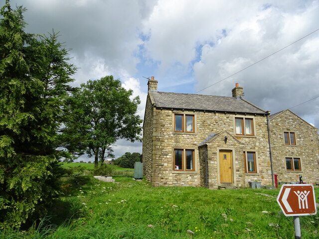
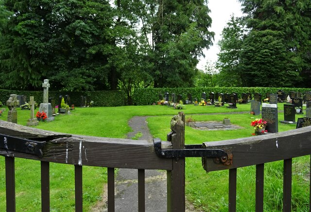
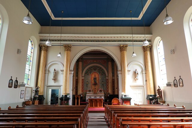
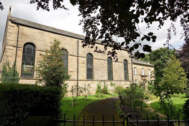
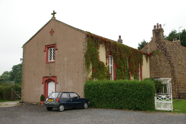
Chipping is known for its charming stone-built houses and traditional English countryside setting. The village is centered around a cobbled market square, which is lined with historic buildings, including the 16th-century Sun Inn. The village also boasts a beautiful medieval church, St. Bartholomew's, which dates back to the 12th century and is a Grade I listed building.
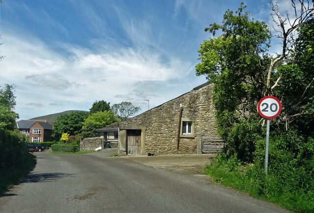
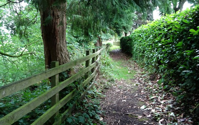
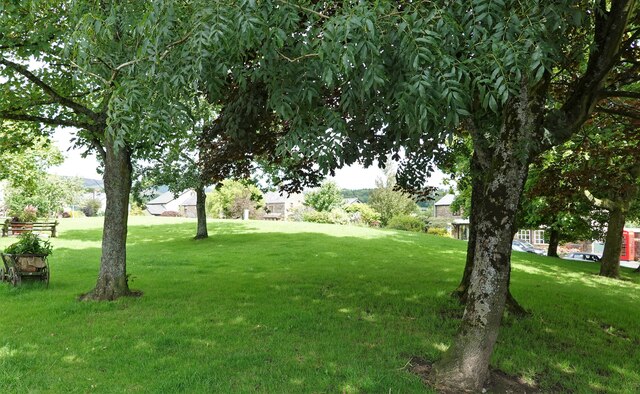
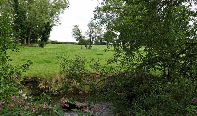
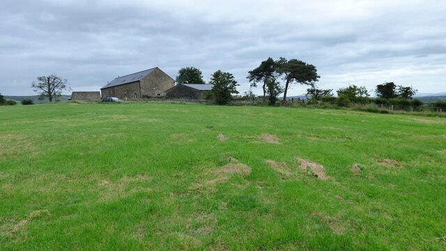
The surrounding area of Chipping is characterized by rolling hills, lush green fields, and agricultural land. It is a popular destination for outdoor enthusiasts, offering a range of activities such as hiking, cycling, and fishing. The nearby River Hodder is also a popular spot for picnicking and relaxation.
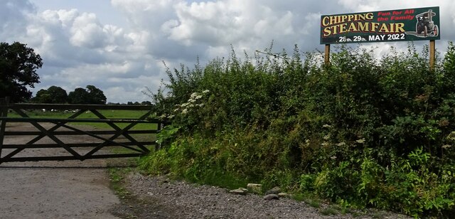
Chipping has a strong sense of community and hosts various events throughout the year, including an annual agricultural show and a Christmas market. The village is home to a primary school, a village hall, and a few local businesses, including a post office and a small grocery store.
Overall, Chipping is a tranquil and picturesque village that offers a peaceful retreat in the heart of the Lancashire countryside. Its rich history, stunning natural surroundings, and close-knit community make it a desirable place to live or visit.
If you have any feedback on the listing, please let us know in the comments section below.
Chipping Images
Images are sourced within 2km of 53.884126/-2.601929 or Grid Reference SD6043. Thanks to Geograph Open Source API. All images are credited.


Chipping is located at Grid Ref: SD6043 (Lat: 53.884126, Lng: -2.601929)
Administrative County: Lancashire
District: Ribble Valley
Police Authority: Lancashire
What 3 Words
///managed.purified.reapply. Near Longridge, Lancashire
Nearby Locations
Related Wikis

Bowland Forest Gliding Club
Bowland Forest Gliding Club is a British gliding club near the village of Chipping, Lancashire. It was formed as the Blackpool and Fylde Gliding Club in...

Kirk Mill
Kirk Mill is an early example of an Arkwright-type cotton mill and a grade II listed building in Chipping, Lancashire, in Ribble Valley, to the north of...

St Bartholomew's Church, Chipping
St Bartholomew's Church is in the village of Chipping, Lancashire, England. It is an active Anglican parish church in the deanery of Whalley, the archdeaconry...
Chipping, Lancashire
Chipping is a village and civil parish in the borough of Ribble Valley, Lancashire, England, within the Forest of Bowland Area of Outstanding Natural Beauty...
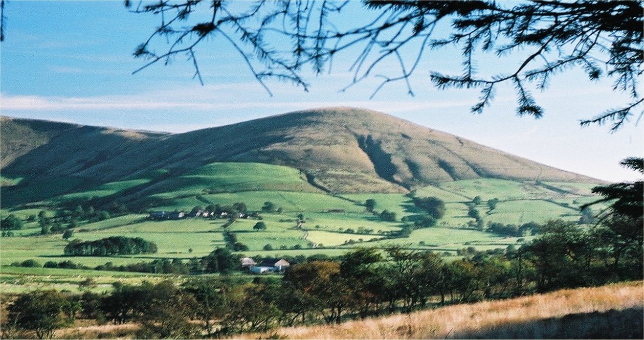
Parlick
Parlick (also known as Parlick Pike) is an approximately cone-shaped steep-sided hill at the extreme south of the main range of Bowland fells in Lancashire...

Hesketh End
Hesketh End is an historic building in the English village of Chipping, Lancashire. Built in 1591, with later additions made in the early 17th century...

Bowland-with-Leagram
Bowland-with-Leagram is a civil parish in the Ribble Valley district of Lancashire, England, covering part of the Forest of Bowland. According to the census...
Thornley-with-Wheatley
Thornley-with-Wheatley is a civil parish in the Borough of Ribble Valley, Lancashire, England. It is entirely rural, with no villages or other substantial...
Nearby Amenities
Located within 500m of 53.884126,-2.601929Have you been to Chipping?
Leave your review of Chipping below (or comments, questions and feedback).