Chinnor
Civil Parish in Oxfordshire South Oxfordshire
England
Chinnor

Chinnor is a civil parish located in the county of Oxfordshire, England. Situated at the foot of the Chiltern Hills, it is approximately 20 miles southeast of the city of Oxford. The parish covers an area of around 3,500 acres and is home to a population of about 6,000 residents.
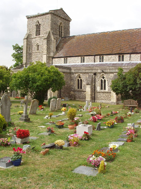
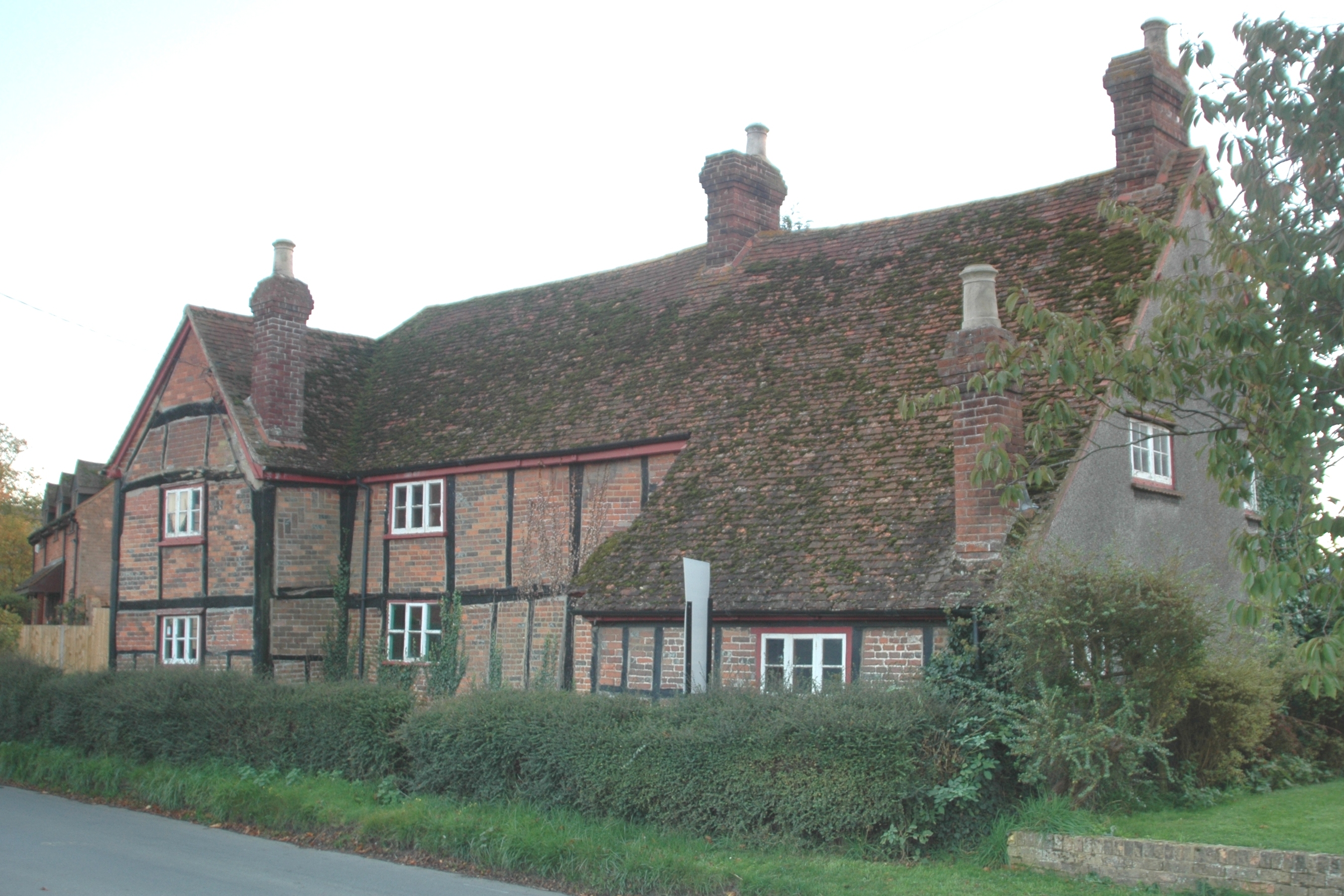
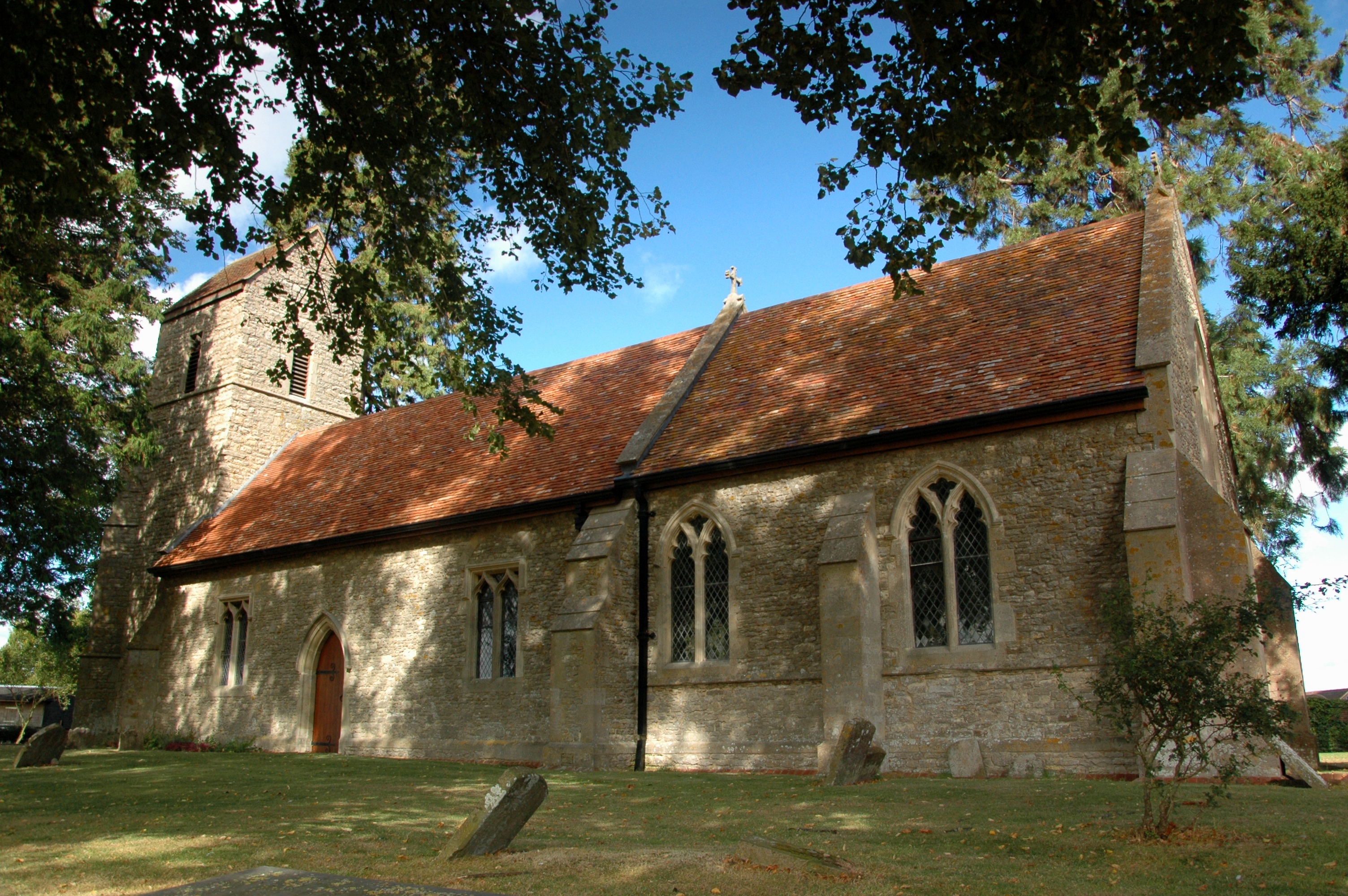
The village of Chinnor has a rich history that dates back to the Anglo-Saxon era. It was mentioned in the Domesday Book of 1086 and has since evolved into a thriving community. The village center features a mix of traditional and modern architecture, creating a charming atmosphere.
The parish is known for its picturesque countryside, with the Chiltern Hills providing a stunning backdrop. The area is a haven for outdoor enthusiasts, offering numerous walking trails and opportunities for nature exploration. Additionally, Chinnor is located close to the Ridgeway National Trail, a 87-mile ancient track that runs along the chalk ridge of the Chilterns.
Chinnor also boasts a range of amenities and facilities to cater to its residents. The village has a primary school, several shops, pubs, and restaurants, providing a convenient and vibrant community hub. The local sports and social club offers a variety of activities, including football, cricket, and tennis, ensuring there is something for everyone.
Overall, Chinnor is a picturesque and welcoming civil parish that combines a rich history, beautiful landscapes, and a strong sense of community.
If you have any feedback on the listing, please let us know in the comments section below.
Chinnor Images
Images are sourced within 2km of 51.70842/-0.909286 or Grid Reference SP7501. Thanks to Geograph Open Source API. All images are credited.


Chinnor is located at Grid Ref: SP7501 (Lat: 51.70842, Lng: -0.909286)
Administrative County: Oxfordshire
District: South Oxfordshire
Police Authority: Thames Valley
What 3 Words
///speakers.clever.shrubbery. Near Chinnor, Oxfordshire
Nearby Locations
Related Wikis

Chinnor F.C.
Chinnor Football Club is a football club based in Chinnor, Oxfordshire, England. They are currently members of the Hellenic League Division Two East and...
Chinnor
Chinnor is a large village and civil parish in South Oxfordshire about 4 miles (6.4 km) southeast of Thame, close to the border with Buckinghamshire. The...
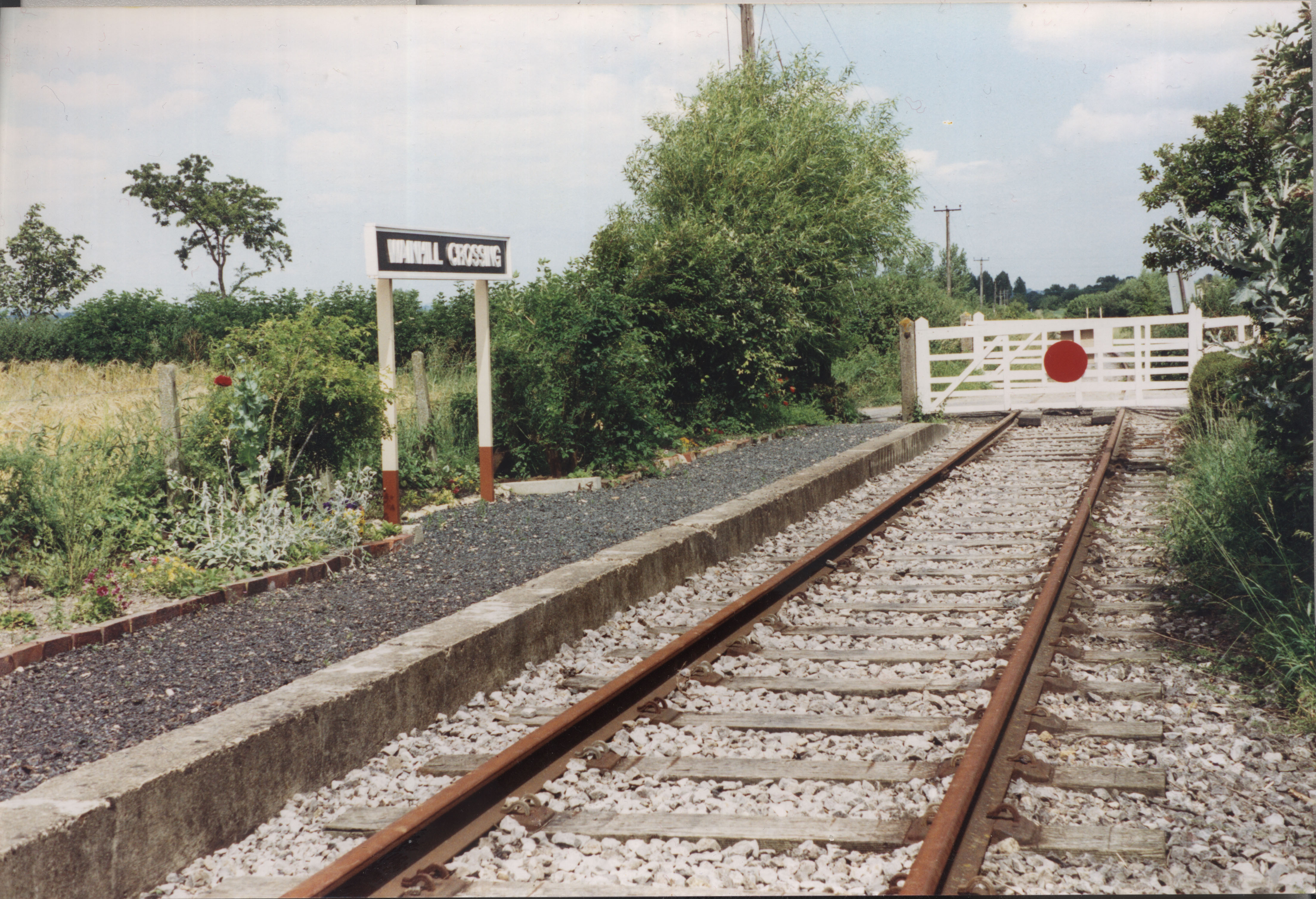
Wainhill Crossing Halt railway station
Wainhill Crossing Halt was a halt on the Watlington and Princes Risborough Railway which the Great Western Railway opened in 1925 to serve the Oxfordshire...

Chinnor and Princes Risborough Railway
The Chinnor and Princes Risborough Railway is a preserved standard gauge heritage railway with its headquarters and main station at Chinnor in South Oxfordshire...
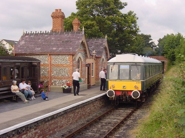
Chinnor railway station
Chinnor railway station in Oxfordshire is on the line of the former Watlington and Princes Risborough Railway. The station was reopened by the Chinnor...

Oakley, Oxfordshire
Oakley is a spring line settlement at the foot of the Chiltern Hills on the route of the Lower Icknield Way. It is about 4.5 miles (7.2 km) southeast of...
Henton, Oxfordshire
Henton is a hamlet in Oxfordshire, about 3 miles (5 km) west of Princes Risborough in Buckinghamshire. Henton is in the civil parish of Chinnor, just off...
Emmington
Emmington is a village in the civil parish of Chinnor, in the South Oxfordshire district, in the county of Oxfordshire, England. It is about 4.5 miles...
Nearby Amenities
Located within 500m of 51.70842,-0.909286Have you been to Chinnor?
Leave your review of Chinnor below (or comments, questions and feedback).