Childswickham

Civil Parish in Gloucestershire Wychavon

England

Childswickham

A44 at the turning for Murcot
A44 at the turning for Murcot Credit: Peter Whatley

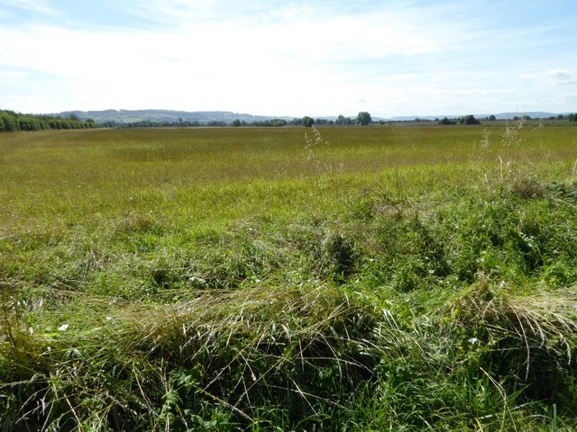
Childswickham is a civil parish located in the county of Gloucestershire, England. It is situated approximately 2 miles southwest of the town of Evesham and covers an area of around 700 acres. The parish is predominantly rural, with a population of around 400 people.

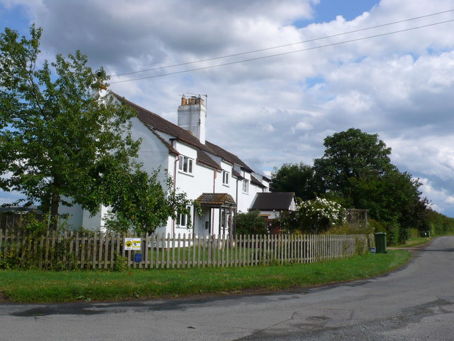
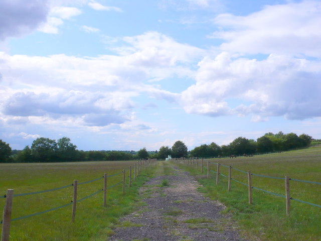
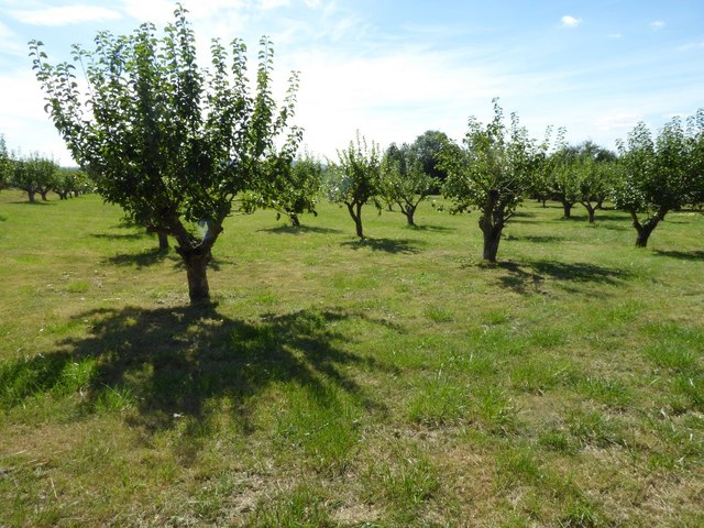
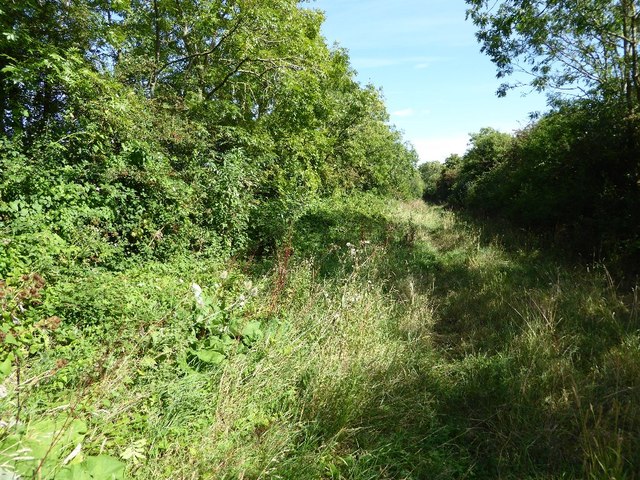
The village of Childswickham itself is small and charming, with a mix of traditional stone cottages and more modern houses. It is surrounded by picturesque countryside, including rolling hills, meadows, and woodland, making it a desirable location for those seeking a peaceful and idyllic setting.

The parish is known for its historic buildings, including the 12th-century St. Mary's Church, which is a Grade I listed building. The church features a striking tower and a beautiful interior with stained glass windows and intricate woodwork. Other notable buildings in the area include Childswickham House, a Georgian manor house, and several traditional farmhouses.

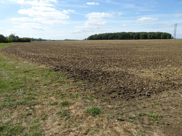
The local economy in Childswickham is primarily based on agriculture, with many residents working in farming or related industries. The village has a strong sense of community, with regular social events and activities organized by local groups. There is also a small primary school serving the village and surrounding areas.

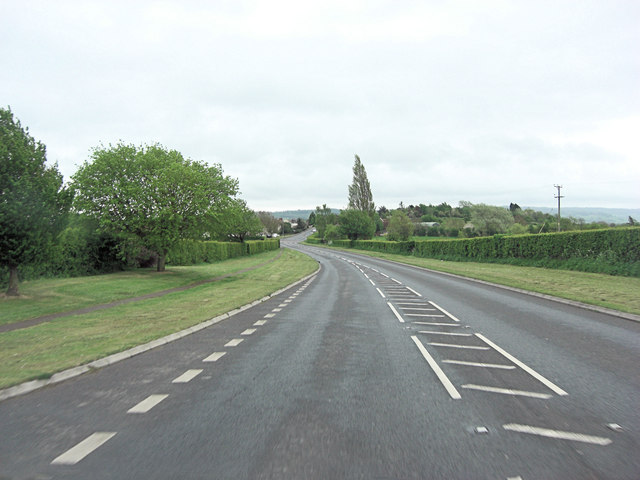
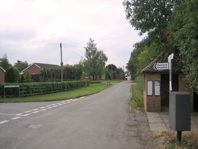
Childswickham benefits from its proximity to the larger town of Evesham, which offers a wider range of amenities, including shops, restaurants, and leisure facilities. The parish is well-connected to the surrounding areas by road, with good access to major routes such as the A46 and A44.

If you have any feedback on the listing, please let us know in the comments section below.

Childswickham Images

Images are sourced within 2km of 52.052714/-1.907188 or Grid Reference SP0639. Thanks to Geograph Open Source API. All images are credited.

A44 at the turning for Murcot
A44 at the Farm Shop, Wickhamford
Never to drive again [2] In the previous image from May 2010 <a href="https://www.geograph.org.uk/photo/1913627">SP0740 : Never to drive again [1]</a> these two vehicles, then 40 and 37 years old, were in a parlous state.  The two intervening years have not improved their condition.
Never to drive again [2]
In the previous image from May 2010 SP0740 : Never to drive again [1] these two vehicles, then 40 and 37 years old, were in a parlous state. The two intervening years have not improved their condition.
A44 at Murcot turn
A44 at Murcot turn
Tally Ho Cottages These cottages are located at a sharp bend in the minor road, Murcot Rd that runs from Childswickham to Wickhamford. This bend was once a "t" junction  with the other road going to Murcot Farm.
Tally Ho Cottages
These cottages are located at a sharp bend in the minor road, Murcot Rd that runs from Childswickham to Wickhamford. This bend was once a "t" junction with the other road going to Murcot Farm.
Horse Paddocks near Wickhamford This land was used as arable land until quite recently and it is adjacent to some large orchards.
Horse Paddocks near Wickhamford
This land was used as arable land until quite recently and it is adjacent to some large orchards.
Sewage Pumping Station This small pumping station is on the Murcot road running west out of Wickhamford. The blue sign on the left says Severn Trent Water, Sewage Pumping Station, Wickhamford, Murcot Lane.
Sewage Pumping Station
This small pumping station is on the Murcot road running west out of Wickhamford. The blue sign on the left says Severn Trent Water, Sewage Pumping Station, Wickhamford, Murcot Lane.
Orchard at Wickhamford there are extensive orchards all round the village. This one is on the Murcot road leading south west out of the village.
Orchard at Wickhamford
there are extensive orchards all round the village. This one is on the Murcot road leading south west out of the village.
Sandys Avenue Wickhamford This road is named after the Sandys family , an old landed family politically active in Elizabethan and Jacobean times, one branch of which settled in Wickhamford.
Sandys Avenue Wickhamford
This road is named after the Sandys family , an old landed family politically active in Elizabethan and Jacobean times, one branch of which settled in Wickhamford.
Houses In Sandys Avenue This small terrace of houses is situated at the north end of this residential cul-de-sac. The houses back onto the local recreation and football ground.
Houses In Sandys Avenue
This small terrace of houses is situated at the north end of this residential cul-de-sac. The houses back onto the local recreation and football ground.
A44 south of Wickham Farm
A44 passes entrance to Bond Industrial Estate
Wickhamford, Pitchers Hill The A44 is a major road in the United Kingdom that runs for 155 miles from Oxford in southern England to Aberystwyth in west Wales.
<span class="nowrap"><a title="http://www.sabre-roads.org.uk/wiki/index.php?title=A44" rel="nofollow ugc noopener" href="http://www.sabre-roads.org.uk/wiki/index.php?title=A44">Link</a><img style="margin-left:2px;" alt="External link" title="External link - shift click to open in new window" src="https://s1.geograph.org.uk/img/external.png" width="10" height="10"/></span>  SABRE
<span class="nowrap"><a title="https://en.wikipedia.org/wiki/A44_road" rel="nofollow ugc noopener" href="https://en.wikipedia.org/wiki/A44_road">Link</a><img style="margin-left:2px;" alt="External link" title="External link - shift click to open in new window" src="https://s1.geograph.org.uk/img/external.png" width="10" height="10"/></span>  Wikipedia
Wickhamford, Pitchers Hill
The A44 is a major road in the United Kingdom that runs for 155 miles from Oxford in southern England to Aberystwyth in west Wales. LinkExternal link SABRE LinkExternal link Wikipedia
Road junction on Murcot Road Road junction on Murcot Road near Tally-ho Cottages near Wickhamford.  For the same location in February 2010, see: <a href="https://www.geograph.org.uk/photo/1725224">SP0640 : Tally-ho Cottages, Wickhamford</a>
Road junction on Murcot Road
Road junction on Murcot Road near Tally-ho Cottages near Wickhamford. For the same location in February 2010, see: SP0640 : Tally-ho Cottages, Wickhamford
Flat farmland in the Vale of Evesham The Vale of Evesham is synonymous which market gardening and horticulture but here is a view over arable farmland near Childswickham. The Cotswold Hills can be seen on the horizon.
Flat farmland in the Vale of Evesham
The Vale of Evesham is synonymous which market gardening and horticulture but here is a view over arable farmland near Childswickham. The Cotswold Hills can be seen on the horizon.
Orchard near Wickhamford
Bridleway to Wickhamford Bridleway between Hinton on the Green and Wickhamford.
Bridleway to Wickhamford
Bridleway between Hinton on the Green and Wickhamford.
Arable field near Porter's Plantation A bridleway crosses this arable field, en route to Hinton on the Green.
Arable field near Porter's Plantation
A bridleway crosses this arable field, en route to Hinton on the Green.
Show me another place!

Childswickham is located at Grid Ref: SP0639 (Lat: 52.052714, Lng: -1.907188)

Administrative County: Worcestershire

District: Wychavon

Police Authority: West Mercia

What 3 Words

///amicably.showdown.younger. Near Broadway, Worcestershire

Nearby Locations

Childswickham

Related Wikis

Murcot

Murcot is a hamlet in the English county of Worcestershire. Murcot is located in the west of the Vale of Evesham and is to the west and south of the village...

Childswickham

Childswickham is a village in Worcestershire, England, situated within the flat open landscape of the Vale of Evesham, between the Bredon and Cotswold...

Wickhamford

Wickhamford is a village and a civil parish in Worcestershire, England. It is situated on the A44 road approximately halfway between the towns of Evesham...

Aston Somerville

Aston Somerville is a small village approximately 3 miles (4.8 km) south of Evesham, Worcestershire, England. == History == Historically, the Aston Somerville...

Nearby Amenities

Located within 500m of 52.052714,-1.907188
Barrier: stile
Lat/Long: 52.050139/-1.9053228
Power: pole
Lat/Long: 52.0485911/-1.9069581
Power: pole
Lat/Long: 52.0496608/-1.9078137
Power: pole
Lat/Long: 52.0493474/-1.9075669
Hinton Road Cottages
Power: pole
Transformer: distribution
Voltage Primary: 11000
Lat/Long: 52.0499429/-1.9079854
The data included in this document is from www.openstreetmap.org. The data is made available under ODbL.

Have you been to Childswickham?

Leave your review of Childswickham below (or comments, questions and feedback).