Cheslyn Hay

Civil Parish in Staffordshire South Staffordshire

England

Cheslyn Hay

The A460 towards the M6 Toll Road
The A460 towards the M6 Toll Road Credit: Ian S

Cheslyn Hay is a civil parish located in the county of Staffordshire, England. It lies approximately 15 miles north of Wolverhampton and 12 miles south of Stafford. The parish covers an area of around 3.5 square miles and is home to a population of approximately 9,000 residents.

Historically, Cheslyn Hay was a mining village, with collieries operating in the area from the late 19th century until the mid-20th century. The mining industry played a significant role in the development of the village, shaping its character and providing employment for many locals.

Today, Cheslyn Hay is a thriving community with a range of amenities and services. The village center boasts a variety of shops, including convenience stores, cafes, and restaurants, catering to the needs of residents and visitors alike.

The parish is also home to several schools, providing education for children of all ages. Cheslyn Hay Academy is a popular choice among local families, offering a comprehensive curriculum and excellent facilities.

For outdoor enthusiasts, Cheslyn Hay offers picturesque countryside surroundings, with ample opportunities for walking, cycling, and exploring nature. The village is surrounded by green spaces, including Cheslyn Hay Local Nature Reserve and Cheslyn Hay Leisure Centre, which provides sporting facilities such as a swimming pool and a gym.

Overall, Cheslyn Hay is a charming and vibrant civil parish, blending its rich mining heritage with modern amenities and a strong sense of community.

If you have any feedback on the listing, please let us know in the comments section below.

Cheslyn Hay Images

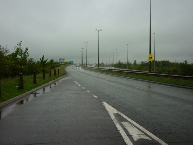
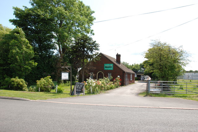
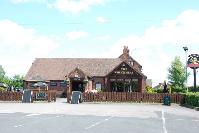
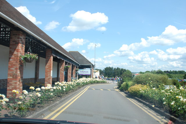
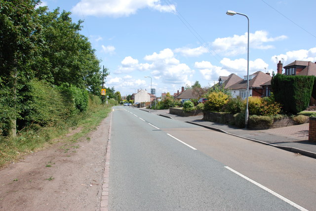
Images are sourced within 2km of 52.663341/-2.038766 or Grid Reference SJ9707. Thanks to Geograph Open Source API. All images are credited.

The A460 towards the M6 Toll Road
Looking Up To The A5 Roundabout>
Dale Engineering Co. This Is A Light Engineering Company, in Wedges Mills.
Dale Engineering Co.
This Is A Light Engineering Company, in Wedges Mills.
Roundabout On A5 Over Toll Road. M6 Toll road can be seen heading right for the M6 over the Argos Lorry. In the middle of the Picture there is lot of Construction work going on.
Roundabout On A5 Over Toll Road.
M6 Toll road can be seen heading right for the M6 over the Argos Lorry. In the middle of the Picture there is lot of Construction work going on.
Hair Studio. North St. Bridgtown.
Looking Down North Street. Bridgtown.
Start of the houses Wood Lane, Wedges Mills
The Hollies Poultry Farm, Wolverhampton Road
The Wheatsheaf, Wolverhampton Road This part of the Wolverhampton road was the main road from Cannock to Wolverhampton until it was bypassed when the M6 Toll road and dual carriageway were built, and now it is only a dead end road.
The Wheatsheaf, Wolverhampton Road
This part of the Wolverhampton road was the main road from Cannock to Wolverhampton until it was bypassed when the M6 Toll road and dual carriageway were built, and now it is only a dead end road.
Main Entrance Hollybush Garden Centre
Looking down the B4156, Cheslyn Hay
M6 Toll Road, taken from the Cheslyn Hay bridge Not many cars using the Toll Road, perhaps the Toll charge has something to do with it, I thought it was supposed to ease congestion on the M6.
M6 Toll Road, taken from the Cheslyn Hay bridge
Not many cars using the Toll Road, perhaps the Toll charge has something to do with it, I thought it was supposed to ease congestion on the M6.
M6 Toll Road 2002, from Cheslyn Hay bridge
Brownfield Site, Walkmill Lane This part of Bridgtown has altered beyond recognition in the past few years, how long before this site is covered with Offices etc.
Brownfield Site, Walkmill Lane
This part of Bridgtown has altered beyond recognition in the past few years, how long before this site is covered with Offices etc.
Lakeside Boulevard, Bridgtown This is one of the new complexes being built around Walkmill lane.
Lakeside Boulevard, Bridgtown
This is one of the new complexes being built around Walkmill lane.
Old Warstone Lane to junction with Hilton Lane
The Ramada Hotel, Cannock
Looking north along the M6 Toll from the A460
Show me another place!

Cheslyn Hay is located at Grid Ref: SJ9707 (Lat: 52.663341, Lng: -2.038766)

Administrative County: Staffordshire

District: South Staffordshire

Police Authority: Staffordshire

What 3 Words

///dated.sports.silent. Near Great Wyrley, Staffordshire

Nearby Locations

Cheslyn Hay

Related Wikis

Cheslyn Hay

Cheslyn Hay is a former mining village and civil parish in the South Staffordshire district of Staffordshire, England. It is 3 miles south of Cannock,...

Cheslyn Hay Academy

Cheslyn Hay Academy (formerly Cheslyn Hay Sport and Community High School) is a mixed secondary school and sixth form located in Cheslyn Hay in the English...

Wyrley and Cheslyn Hay railway station

Wyrley and Cheslyn Hay railway station served the villages of Great Wyrley and Cheslyn Hay in Staffordshire, England, between 1858 and 1965. == History... ==

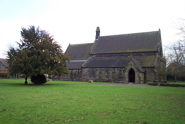
St Mark's Church, Great Wyrley

St Mark's is the parish church of Great Wyrley, South Staffordshire, England. It is known for having had the first South Asian vicar of any Church of England...

Nearby Amenities

Located within 500m of 52.663341,-2.038766
Mini Roundabout
Direction: clockwise
Lat/Long: 52.6615371/-2.0408033
Cheslyn Hay
Place: village
Wikidata: Q2136719
Lat/Long: 52.6608908/-2.03555
Bus Stop
Colliers Arms PH
Bus: yes
Naptan AtcoCode: 3800C610500
Naptan Bearing: W
Naptan CommonName: Library
Naptan Indicator: Adj
Naptan Landmark: Library
Naptan Street: High Street
Naptan Verified: no
Public Transport: platform
Source: naptan_import
Lat/Long: 52.6601465/-2.0363415
Bus Stop
Cheslyn Hay Academy
Bus: yes
Naptan AtcoCode: 3800C616801
Naptan Bearing: SW
Naptan CommonName: Cheslyn Hay High School
Naptan Indicator: Opp
Naptan Landmark: High Sch
Naptan Street: Wolverhampton Rd
Naptan Verified: no
Public Transport: platform
Source: naptan_import
Lat/Long: 52.6598008/-2.0432651
Bus Stop
Cheslyn Hay Academy
Bus: yes
Naptan AtcoCode: 3800C616802
Naptan Bearing: NE
Naptan BusStopType: CUS
Naptan CommonName: Cheslyn Hay High School
Naptan Indicator: Adj
Naptan Landmark: High Sch
Naptan Street: Wolvehampton Rd
Naptan Verified: no
Public Transport: platform
Source: naptan_import
Lat/Long: 52.6609718/-2.0417683
Bus Stop
Hatherton Street
Bus: yes
Naptan AtcoCode: 3800C650301
Naptan Bearing: NW
Naptan CommonName: Hatherton Street
Naptan Indicator: Adj
Naptan Landmark: Hatherton St
Naptan Street: High St
Naptan Verified: no
Public Transport: platform
Source: naptan_import
Lat/Long: 52.6602986/-2.0386037
Bus Stop
Wesley Avenue
Bus: yes
Naptan AtcoCode: 3800C650601
Naptan Bearing: NE
Naptan CommonName: Wesley Avenue
Naptan Indicator: Opp
Naptan Landmark: Wesley Ave
Naptan Street: Lowe St
Naptan Verified: no
Public Transport: platform
Source: naptan_import
Lat/Long: 52.6613594/-2.0385159
Bus Stop
Queen Street
Bus: yes
Naptan AtcoCode: 3800C650701
Naptan Bearing: SE
Naptan CommonName: Queen Street
Naptan Indicator: Opp
Naptan Landmark: Queen Street
Naptan Street: Lowe St
Naptan Verified: no
Public Transport: platform
Source: naptan_import
Lat/Long: 52.6616994/-2.0347977
Leisure: swimming_pool
Lat/Long: 52.6614364/-2.0425619
Post Box
Collection Times: Mo-Fr 16:00; Sa 10:30
Lat/Long: 52.6601946/-2.0361525
Crossing
Crossing: uncontrolled
Crossing Markings: yes
Lat/Long: 52.6618453/-2.0426128
Cafe
Cakes-A-Daisy
Lat/Long: 52.6601256/-2.0338278
Restaurant
K & K
Cuisine: chinese
Lat/Long: 52.6603053/-2.0347829
AJ's Taxis
Office: yes
Lat/Long: 52.660343/-2.0354569
Cheslyn Hay Leisure Centre
Leisure: sports_centre
Lat/Long: 52.6617277/-2.0426967
Generator Method: photovoltaic
Generator Output Electricity: yes
Generator Source: solar
Generator Type: solar_photovoltaic_panel
Location: roof
Power: generator
Lat/Long: 52.6616001/-2.0367515
Generator Method: photovoltaic
Generator Output Electricity: yes
Generator Source: solar
Generator Type: solar_photovoltaic_panel
Location: roof
Power: generator
Lat/Long: 52.6610014/-2.0399541
Generator Method: photovoltaic
Generator Output Electricity: yes
Generator Source: solar
Generator Type: solar_photovoltaic_panel
Location: roof
Power: generator
Lat/Long: 52.6610323/-2.040005
Generator Method: photovoltaic
Generator Output Electricity: yes
Generator Source: solar
Generator Type: solar_photovoltaic_panel
Location: roof
Power: generator
Lat/Long: 52.6610958/-2.0400989
Generator Method: photovoltaic
Generator Output Electricity: yes
Generator Source: solar
Generator Type: solar_photovoltaic_panel
Location: roof
Power: generator
Lat/Long: 52.6611267/-2.0401606
Generator Method: photovoltaic
Generator Output Electricity: yes
Generator Source: solar
Generator Type: solar_photovoltaic_panel
Location: roof
Power: generator
Lat/Long: 52.6611787/-2.0402625
Generator Method: photovoltaic
Generator Output Electricity: yes
Generator Source: solar
Generator Type: solar_photovoltaic_panel
Location: roof
Power: generator
Lat/Long: 52.6597032/-2.0398951
Generator Method: photovoltaic
Generator Output Electricity: yes
Generator Source: solar
Generator Type: solar_photovoltaic_panel
Location: roof
Power: generator
Lat/Long: 52.6591484/-2.039592
Generator Method: photovoltaic
Generator Output Electricity: yes
Generator Source: solar
Generator Type: solar_photovoltaic_panel
Location: roof
Power: generator
Lat/Long: 52.6612015/-2.034367
Generator Method: photovoltaic
Generator Output Electricity: yes
Generator Source: solar
Generator Type: solar_photovoltaic_panel
Location: roof
Power: generator
Lat/Long: 52.6612031/-2.034241
Generator Method: photovoltaic
Generator Output Electricity: yes
Generator Source: solar
Generator Type: solar_photovoltaic_panel
Location: roof
Power: generator
Lat/Long: 52.6621906/-2.0335141
Generator Method: photovoltaic
Generator Output Electricity: yes
Generator Source: solar
Generator Type: solar_photovoltaic_panel
Location: roof
Power: generator
Lat/Long: 52.6622573/-2.0333934
Generator Method: photovoltaic
Generator Output Electricity: yes
Generator Source: solar
Generator Type: solar_photovoltaic_panel
Location: roof
Power: generator
Lat/Long: 52.6622817/-2.0333263
Generator Method: photovoltaic
Generator Output Electricity: yes
Generator Source: solar
Generator Type: solar_photovoltaic_panel
Location: roof
Power: generator
Lat/Long: 52.6620881/-2.0328999
Crossing
Crossing: traffic_signals
Lat/Long: 52.6601348/-2.0428867
Village Barbers
Shop: hairdresser
Lat/Long: 52.6603412/-2.035375
Dentist
Cheslyn Hay Dental Practice
Healthcare: dentist
Lat/Long: 52.6603327/-2.0352304
Restaurant
Hawa Spice
Cuisine: indian
Lat/Long: 52.6603132/-2.0349169
Fast Food
Pizza Mexicano
Lat/Long: 52.6603096/-2.0348464
Library
Lat/Long: 52.6593985/-2.0385395
Crossing
Crossing: uncontrolled
Crossing Markings: yes
Lat/Long: 52.6617538/-2.0423217
The data included in this document is from www.openstreetmap.org. The data is made available under ODbL.

Have you been to Cheslyn Hay?

Leave your review of Cheslyn Hay below (or comments, questions and feedback).