Cherington

Civil Parish in Gloucestershire Cotswold

England

Cherington

Stone Stile, Culkerton On Gloucestershire footpath NCH9 that heads SE to the A433 at Trull. This view looks NE from the road, the view looking back is <a href="https://www.geograph.org.uk/photo/7295826">ST9196 : Stone Stile, Culkerton</a>.
Stone Stile, Culkerton Credit: Jayne Tovey

Cherington is a civil parish located in the county of Gloucestershire, England. Situated in the Cotswold District, it is a picturesque village that is known for its natural beauty and historical significance. The parish covers an area of approximately 7.25 square kilometers and is home to a population of around 300 residents.

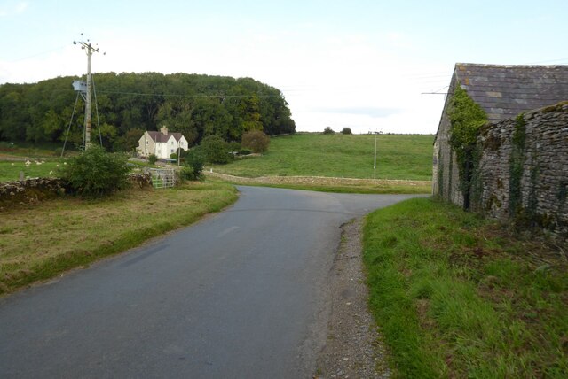
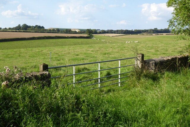
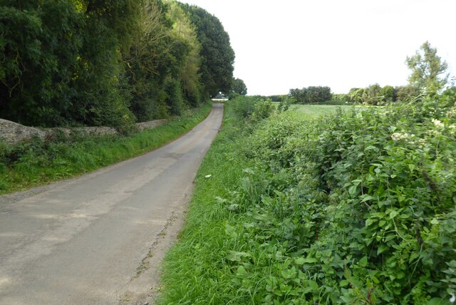
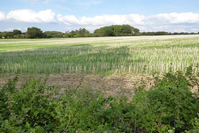
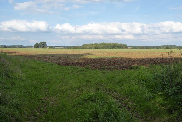
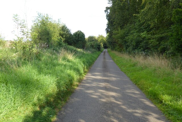
The village of Cherington is nestled in the heart of the Cotswolds, surrounded by rolling hills, lush green fields, and charming countryside. It is characterized by its traditional stone buildings, quaint cottages, and narrow winding lanes, giving it a quintessential English village feel.

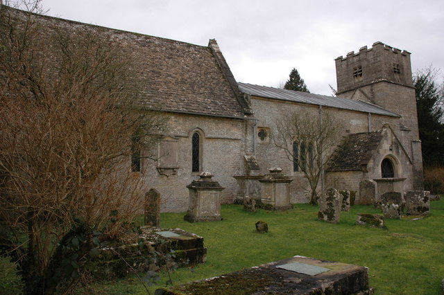
Cherington boasts a rich history, with evidence of settlements dating back to the Roman times. The village is home to St. Nicholas Church, a Grade II* listed building that dates back to the 12th century. The church is known for its beautiful stained glass windows and impressive architecture.

The village itself offers limited amenities, with a small village hall and a pub, The Cherington Arms, serving as the main social hubs. However, residents have easy access to neighboring towns such as Tetbury and Malmesbury, which offer a wider range of facilities including shops, schools, and healthcare services.

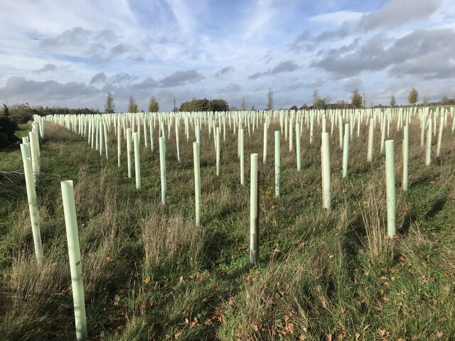
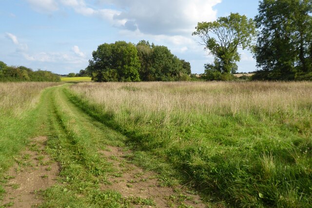
Cherington is a popular destination for nature lovers and outdoor enthusiasts, with several walking trails and footpaths that meander through the surrounding countryside. The village is also within close proximity to the Westonbirt Arboretum, a renowned botanical garden that attracts visitors from near and far.

Overall, Cherington is a charming and idyllic village, offering a peaceful and rural lifestyle within the stunning backdrop of the Cotswolds.

If you have any feedback on the listing, please let us know in the comments section below.
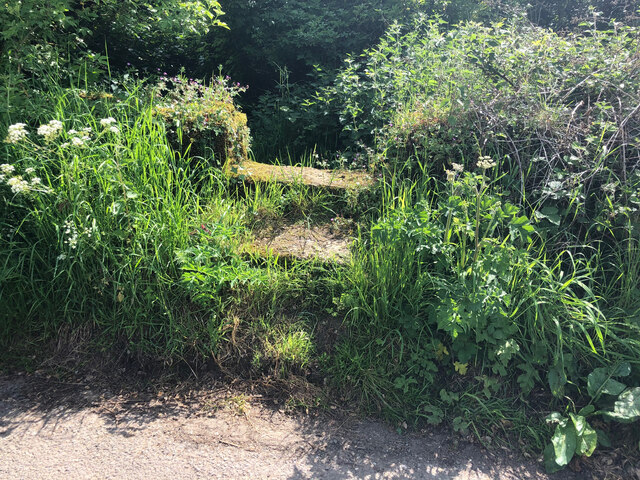
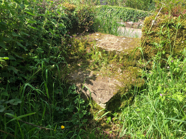
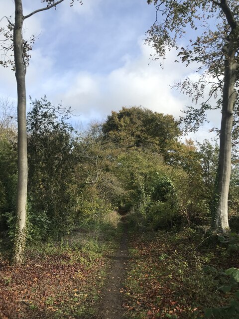
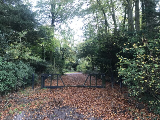
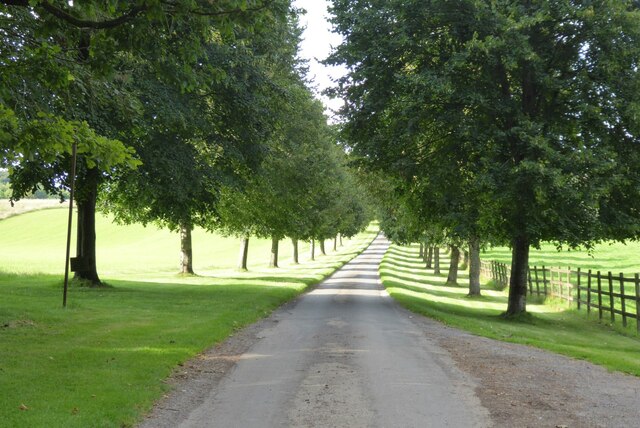
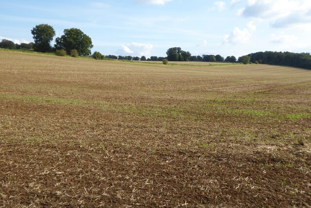
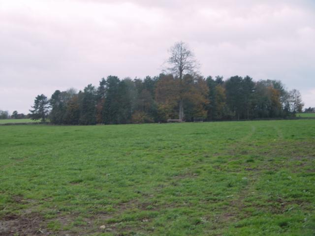
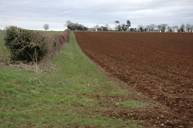
Cherington Images

Images are sourced within 2km of 51.682565/-2.126531 or Grid Reference ST9198. Thanks to Geograph Open Source API. All images are credited.

Stone Stile, Culkerton On Gloucestershire footpath NCH9 that heads SE to the A433 at Trull. This view looks NE from the road, the view looking back is <a href="https://www.geograph.org.uk/photo/7295826">ST9196 : Stone Stile, Culkerton</a>.
Stone Stile, Culkerton
On Gloucestershire footpath NCH9 that heads SE to the A433 at Trull. This view looks NE from the road, the view looking back is ST9196 : Stone Stile, Culkerton.
Stone Stile, Culkerton On Gloucestershire footpath NCH9 that heads SE to the A433 at Trull. This view looks SW to the road, the view looking in is <a href="https://www.geograph.org.uk/photo/7295825">ST9196 : Stone Stile, Culkerton</a>.
Stone Stile, Culkerton
On Gloucestershire footpath NCH9 that heads SE to the A433 at Trull. This view looks SW to the road, the view looking in is ST9196 : Stone Stile, Culkerton.
Trees by the bridleway
By-way gate
By-way gate
Plastic trees!
Plastic trees!
Country road passing Lowesmoor Farm A fairly typical high Cotswold grid square with little in it other than farmland and a few isolated buildings.
Country road passing Lowesmoor Farm
A fairly typical high Cotswold grid square with little in it other than farmland and a few isolated buildings.
Farmland south of Aston Down Beyond the fields large former hangars can be seen from the former RAF Aston Down.
Farmland south of Aston Down
Beyond the fields large former hangars can be seen from the former RAF Aston Down.
Farmland track Farmland track giving access to farmland north of the village of Cherington.
Farmland track
Farmland track giving access to farmland north of the village of Cherington.
Road to Cherington Country road from Culkerton to Cherington.
Road to Cherington
Country road from Culkerton to Cherington.
Farmland near Cherington
Country road to Rodmarton
Entrance to Hazleton Manor Farm Tree-lined drive to Hazleton Manor Farm.
Entrance to Hazleton Manor Farm
Tree-lined drive to Hazleton Manor Farm.
Arable field Arable field near Rodmarton.
Arable field
Arable field near Rodmarton.
Woodland near Culkerton
Thatched Cotswold cottage near Hazleton Manor Attractive thatched cottage near Hazleton Manor.
Thatched Cotswold cottage near Hazleton Manor
Attractive thatched cottage near Hazleton Manor.
The Macmillan Way to the east of Cherington View to the east along the Macmillan Way between Cherington and Rodmarton.
The Macmillan Way to the east of Cherington
View to the east along the Macmillan Way between Cherington and Rodmarton.
St Nicholas church, Cherington
Show me another place!

Cherington is located at Grid Ref: ST9198 (Lat: 51.682565, Lng: -2.126531)

Administrative County: Gloucestershire

District: Cotswold

Police Authority: Gloucestershire

What 3 Words

///cute.triangles.coconut. Near Avening, Gloucestershire

Nearby Locations

Cherington

Related Wikis

Cherington, Gloucestershire

Cherington is a village and civil parish in the Cotswold District of Gloucestershire, England. It lies under 3 miles south east of Minchinhampton and 4...

Trull House

Trull House is a Grade II listed country house near the hamlet of Trull, to the north of the village of Ashley and about 3.4 miles (5.5 km) northeast of...
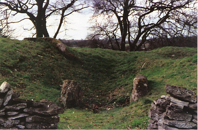
Windmill Tump

Windmill Tump, also known as Rodmarton Chambered Tomb, is a Neolithic burial site, a stone tumulus or barrow. It is a mound covering the site of graves...

Culkerton Halt railway station

Culkerton Halt railway station served the hamlet of Culkerton, Gloucestershire, England, from 1889 to 1964 on the Tetbury Branch Line. == History == The...

Church's Hill Halt railway station

Church's Hill Halt railway station served the village of Ashley, Gloucestershire, England, from 1959 to 1964 on the Tetbury Branch Line. == History... ==
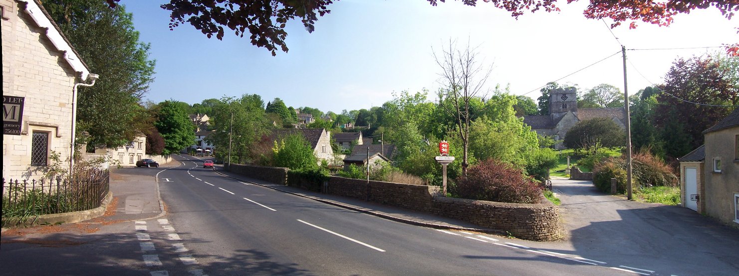
Avening

Avening () is a village and civil parish in the Cotswold district of Gloucestershire, England, about three miles (5 km) north of Tetbury. According to...

Rodmarton

Rodmarton is a village and civil parish in Gloucestershire. == History == Evidence of a Roman settlement has been found at Rodmarton. Through the parish...
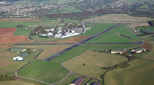
Aston Down

Aston Down is in Gloucestershire, South West England, 2+1⁄2 miles (4 km) east of Minchinhampton, 6 miles (10 km) southeast of Stroud and 7 miles (11 km...

Nearby Amenities

Located within 500m of 51.682565,-2.126531
Power: pole
Source: bing
Lat/Long: 51.6781656/-2.1271099
Power: pole
Source: bing
Lat/Long: 51.6782753/-2.128392
Power: pole
Source: bing
Lat/Long: 51.678445/-2.1245591
Power: pole
Source: bing
Lat/Long: 51.6787942/-2.1233468
Power: pole
Source: bing
Lat/Long: 51.679165/-2.1221049
Power: pole
Source: bing
Lat/Long: 51.6803832/-2.1318921
Power: pole
Source: bing
Lat/Long: 51.6807266/-2.1302171
Power: pole
Source: bing
Lat/Long: 51.6810135/-2.1287848
Power: pole
Source: bing
Lat/Long: 51.6813178/-2.1272747
Power: pole
Source: bing
Lat/Long: 51.6815756/-2.125998
Power: pole
Source: bing
Lat/Long: 51.681845/-2.1246918
Power: pole
Source: bing
Lat/Long: 51.6843611/-2.1249653
Power: pole
Source: bing
Lat/Long: 51.6839138/-2.1239461
Power: pole
Source: bing
Lat/Long: 51.6834931/-2.1229644
Power: pole
Source: bing
Lat/Long: 51.6821078/-2.1233828
Power: pole
Source: bing
Lat/Long: 51.6830258/-2.1218768
Power: pole
Source: bing
Lat/Long: 51.6838132/-2.1206068
The data included in this document is from www.openstreetmap.org. The data is made available under ODbL.

Have you been to Cherington?

Leave your review of Cherington below (or comments, questions and feedback).