Charlton-on-Otmoor
Civil Parish in Oxfordshire Cherwell
England
Charlton-on-Otmoor

Charlton-on-Otmoor is a civil parish located in the county of Oxfordshire, England. Situated approximately 8 miles northeast of the city of Oxford, it covers an area of about 6 square miles. The parish is part of the Cherwell district and is surrounded by the Otmoor nature reserve, a protected wetland area renowned for its diverse wildlife.
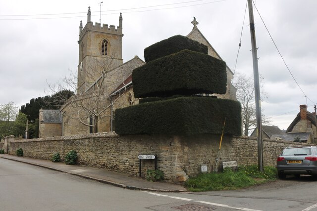
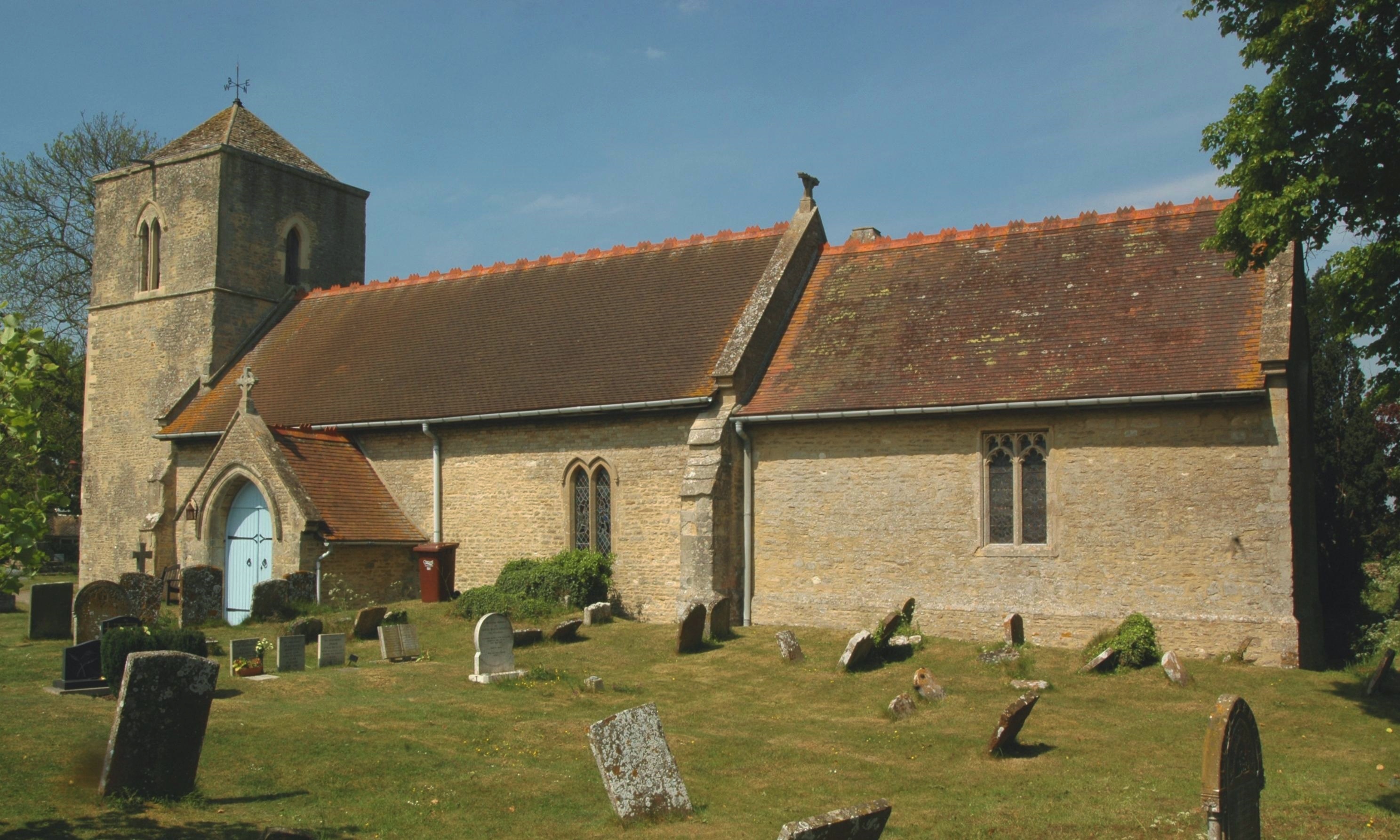
Charlton-on-Otmoor is a small and picturesque village that dates back to the medieval period. It is home to a population of around 500 people, giving it a close-knit and community-oriented atmosphere. The village is characterized by its charming stone cottages and historic buildings, including the 13th-century St. Mary's Church, which serves as a focal point for the local community.
The parish offers a range of amenities and services for its residents. These include a primary school, village hall, local pub, and a post office. Additionally, Charlton-on-Otmoor benefits from excellent transport links, with regular bus services connecting it to nearby towns and villages.
The surrounding Otmoor nature reserve provides ample opportunities for outdoor activities and exploration. It is a haven for birdwatchers, as it is home to a variety of rare and protected species, including the Eurasian bittern and the marsh harrier. The reserve also offers scenic walking and cycling routes, allowing visitors to enjoy the beauty of the Oxfordshire countryside.
Overall, Charlton-on-Otmoor offers a peaceful and idyllic setting for its residents, with its rich history, natural surroundings, and strong sense of community.
If you have any feedback on the listing, please let us know in the comments section below.
Charlton-on-Otmoor Images
Images are sourced within 2km of 51.844417/-1.189628 or Grid Reference SP5516. Thanks to Geograph Open Source API. All images are credited.


Charlton-on-Otmoor is located at Grid Ref: SP5516 (Lat: 51.844417, Lng: -1.189628)
Administrative County: Oxfordshire
District: Cherwell
Police Authority: Thames Valley
What 3 Words
///clocks.appoints.crusted. Near Ambrosden, Oxfordshire
Nearby Locations
Related Wikis

Charlton-on-Otmoor
Charlton-on-Otmoor is a village and civil parish about 9 miles (14 km) NE of Oxford and 6 miles (10 km) SW of Bicester in Oxfordshire, England. The village...

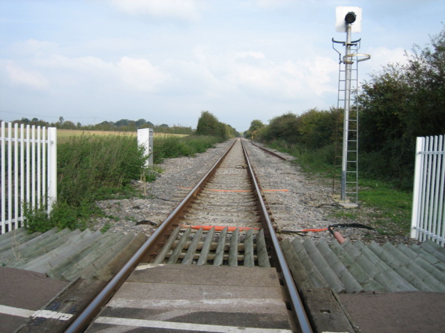
Charlton Halt railway station (Oxfordshire)
Charlton Halt was a railway station on the Varsity Line 1 mile (1.6 km) north of the village of Charlton-on-Otmoor. The London and North Western Railway...

Wendlebury Meads and Mansmoor Closes
Wendlebury Meads and Mansmoor Closes is a 73.2-hectare (181-acre) biological Site of Special Scientific Interest south of Wendlebury in Oxfordshire.Wendlebury...

Woodsides Meadow
Woodsides Meadow is a 4-hectare (9.9-acre) nature reserve south of Wendlebury in Oxfordshire. It is managed by the Berkshire, Buckinghamshire and Oxfordshire...

Fencott
Fencott is a hamlet between the River Ray and Otmoor in the civil parish of Fencott and Murcott, about 4 miles (6.4 km) south of Bicester in Oxfordshire...
Oddington, Oxfordshire
Oddington is a village and civil parish about 5 miles (8 km) south of Bicester in Oxfordshire, England. The village is close to the River Ray on the northern...
Oddington Halt railway station
Oddington Halt was a railway station on the Varsity Line 1 mile (1.6 km) northwest of the village of Oddington, Oxfordshire. The London and North Western...
Fencott and Murcott
Fencott and Murcott is a civil parish about 4 miles (6 km) south of Bicester in the Cherwell district of Oxfordshire, England. The parish is bounded on...
Nearby Amenities
Located within 500m of 51.844417,-1.189628Have you been to Charlton-on-Otmoor?
Leave your review of Charlton-on-Otmoor below (or comments, questions and feedback).