Charley

Civil Parish in Leicestershire North West Leicestershire

England

Charley

Mount St Bernard Abbey
Mount St Bernard Abbey Credit: AJD

Charley is a civil parish located in the county of Leicestershire, England. It is situated approximately 5 miles west of the town of Coalville and 11 miles north of the city of Leicester. The parish covers an area of about 2.5 square miles and is home to a small population.

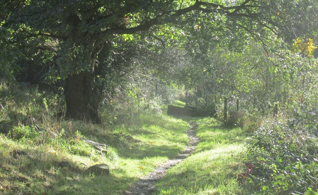
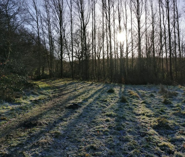
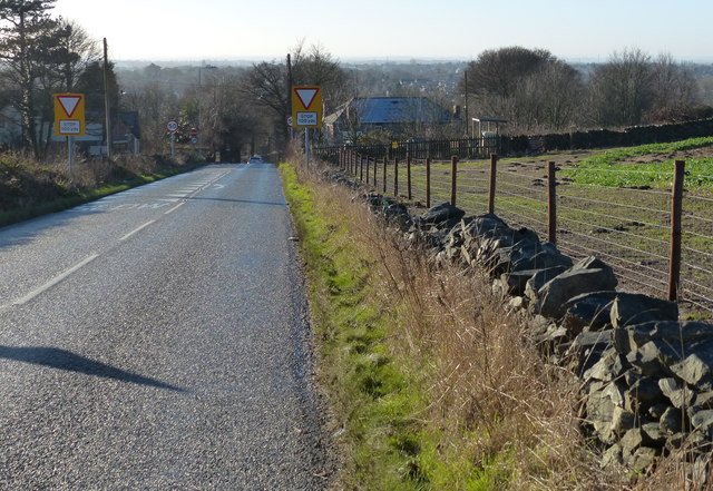
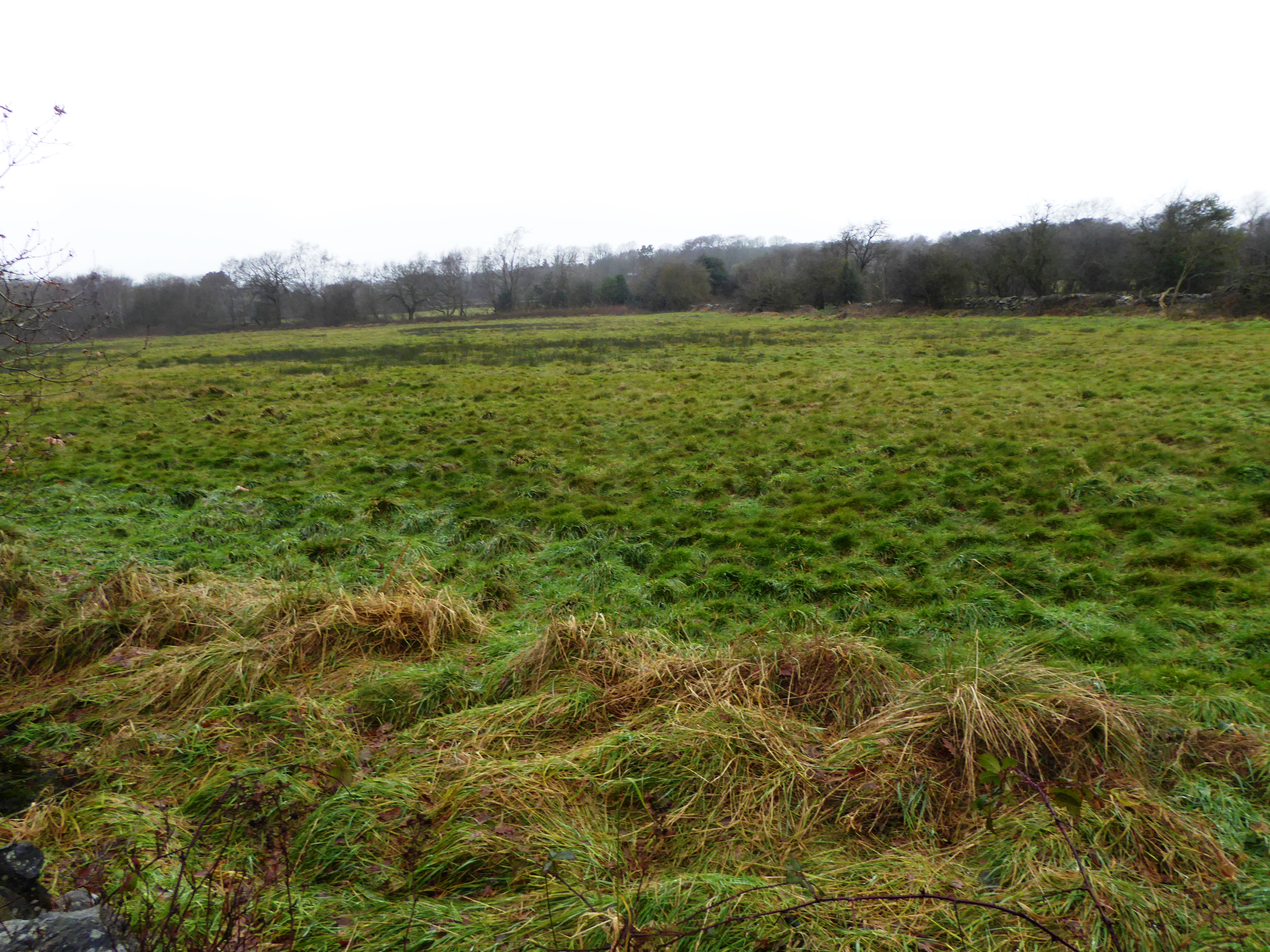
Charley is a rural area characterized by its picturesque countryside and charming villages. The parish is surrounded by open fields, farmland, and woodlands, providing a tranquil and idyllic setting. It is part of the National Forest, a designated area that aims to create a sustainable forest covering parts of Leicestershire, Derbyshire, and Staffordshire.

Within Charley, there are a few notable landmarks and attractions. One such landmark is Charley's Mill, a historic water mill dating back to the 18th century. The mill, which is no longer operational, adds to the area's rural charm and serves as a reminder of its industrial past.

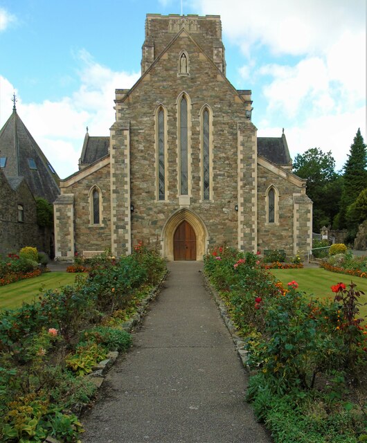
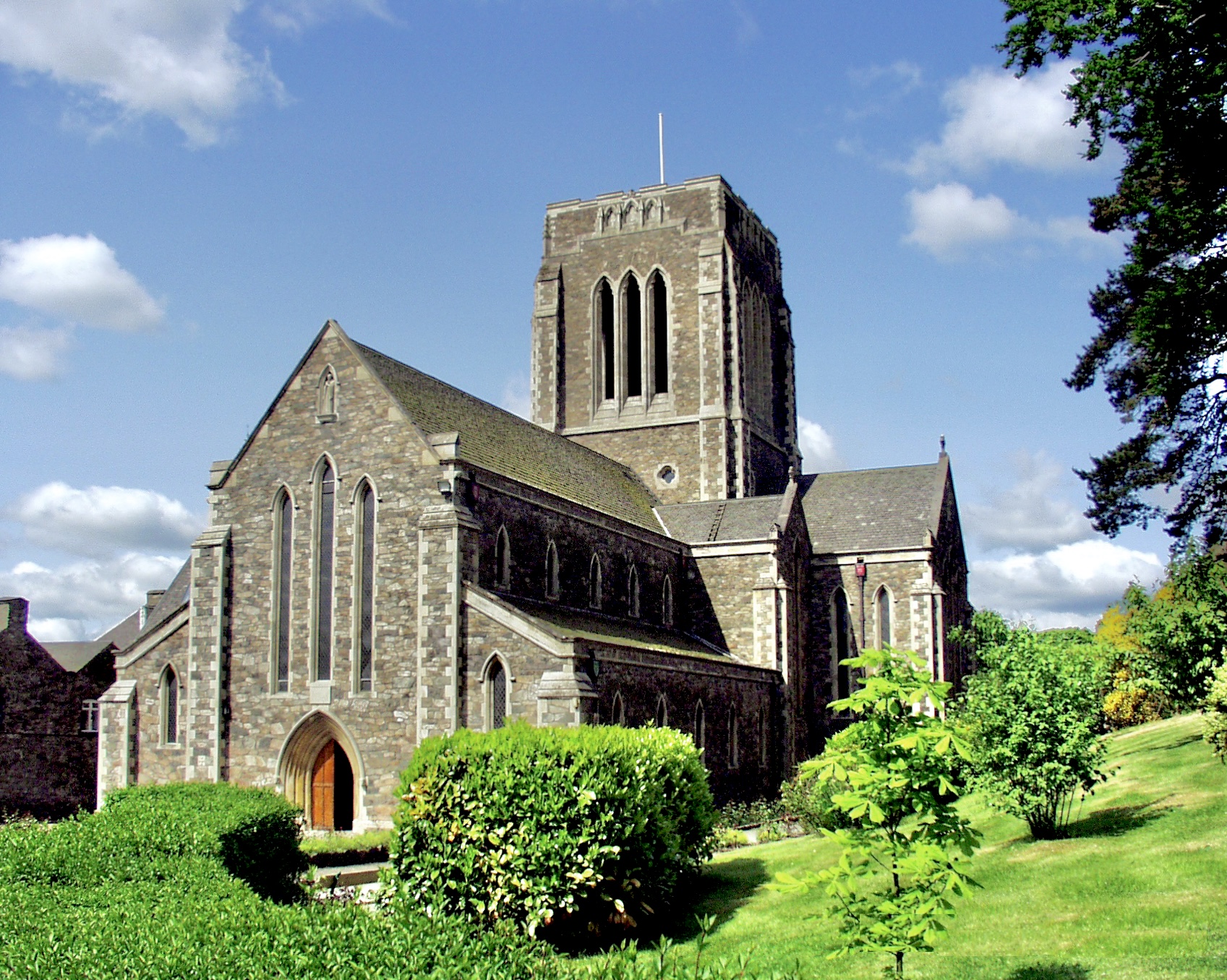
The parish is also home to St. John the Baptist Church, a beautiful Grade II listed building. The church, with its striking architecture and stained glass windows, is an important historical and cultural site within the community.

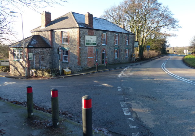
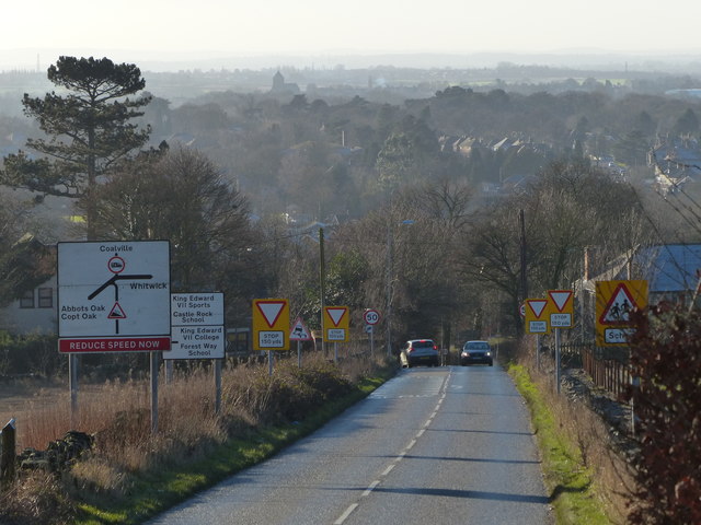
Charley is a close-knit community that values its rural heritage and natural surroundings. Residents and visitors can enjoy the peaceful countryside, go for walks or hikes, and engage in outdoor activities. The area is well-connected by road, making it easily accessible from nearby towns and cities.

If you have any feedback on the listing, please let us know in the comments section below.
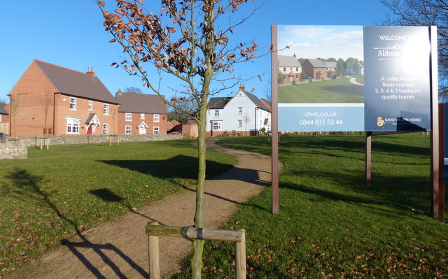
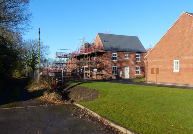
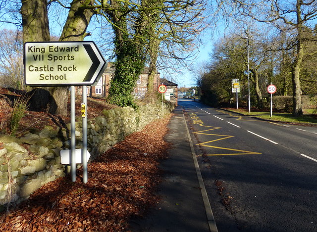
Charley Images

Images are sourced within 2km of 52.734036/-1.3031 or Grid Reference SK4715. Thanks to Geograph Open Source API. All images are credited.

Mount St Bernard Abbey
Abbey Road towards Shepshed
The Lodge on Abbey Road at Charnwood
Charley Road from Abbey Road
Footpath near Upper Greenhill Farm Bardon Hill walk.
Footpath near Upper Greenhill Farm
Bardon Hill walk.
A wet M1, southbound The M1 is a north–south motorway connecting London to Leeds, where it joins the A1(M) near Aberford. It was the first motorway to be completed in the United Kingdom.
The motorway is 193 miles long and was constructed in four phases. Most of the motorway was opened between 1959 and 1968 but the southern end was extended in 1977 and the northern end was extended in 1999.
A wet M1, southbound
The M1 is a north–south motorway connecting London to Leeds, where it joins the A1(M) near Aberford. It was the first motorway to be completed in the United Kingdom. The motorway is 193 miles long and was constructed in four phases. Most of the motorway was opened between 1959 and 1968 but the southern end was extended in 1977 and the northern end was extended in 1999.
Low winter sunlight along the Ivanhoe Way The Ivanhoe Way has just left Vercor Close in Agar Nook, and is heading south towards Bardon Hill.
Low winter sunlight along the Ivanhoe Way
The Ivanhoe Way has just left Vercor Close in Agar Nook, and is heading south towards Bardon Hill.
Abbots View at Agar Nook, Coalville A new housing development on the edge of Coalville.
Abbots View at Agar Nook, Coalville
A new housing development on the edge of Coalville.
New houses at Abbots View A new housing development at Agar Nook, on the edge of Coalville.
New houses at Abbots View
A new housing development at Agar Nook, on the edge of Coalville.
Castle Rock High School Along Meadow Lane in Coalville.
Castle Rock High School
Along Meadow Lane in Coalville.
Meadow Lane near Agar Nook, Coalville
The Forest Rock Offices A former pub on the corner of Leicester Road and Meadow Lane near Whitwick.
<a href="https://www.geograph.org.uk/photo/461810">SK4515 : The Forest Rock Hotel, Leicester Road</a>
The Forest Rock Offices
A former pub on the corner of Leicester Road and Meadow Lane near Whitwick. SK4515 : The Forest Rock Hotel, Leicester Road
Abbey Road descending towards Coalville
Hillside Cottage East Midlands Airport is visible in the distance.
Hillside Cottage
East Midlands Airport is visible in the distance.
Abbey Lodge along Abbey Road This lodge is at the entrance to a track that leads to the Mount St Bernard Abbey.
Abbey Lodge along Abbey Road
This lodge is at the entrance to a track that leads to the Mount St Bernard Abbey.
Woodland near High Tor Farm
Show me another place!

Charley is located at Grid Ref: SK4715 (Lat: 52.734036, Lng: -1.3031)

Administrative County: Leicestershire

District: North West Leicestershire

Police Authority: Leicestershire

What 3 Words

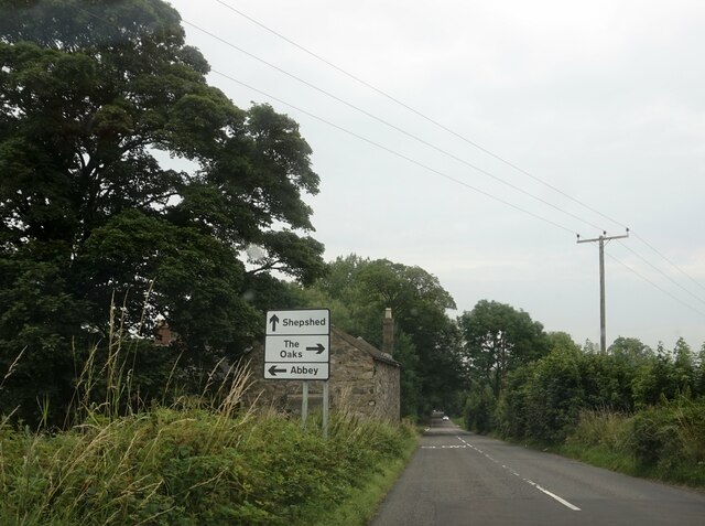
///crouching.gulped.medium. Near Shepshed, Leicestershire

Related Wikis

Oaks in Charnwood

Oaks in Charnwood is a hamlet of scattered houses in the English county of Leicestershire within the Charnwood Forest. Oaks in Charnwood is located in...

Charnwood Lodge

Charnwood Lodge is a 134.2-hectare (332-acre) biological and geological Site of Special Scientific Interest in Charnwood Forest, east of Coalville in Leicestershire...

Charley Woods

Charley Woods is a 26.8 hectares (66 acres) nature reserve north of Copt Oak in Leicestershire. It is owned and managed by the Leicestershire and Rutland...

Charley, Leicestershire

Charley is a civil parish located in the North West Leicestershire district of Leicestershire, England. According to the 2001 census, it had a population...

Charley Priory

Charley Priory was a small former priory in Leicestershire, England. == History == The exact date Charley Priory was established is unknown, but is at...

Abbots Oak

Abbots Oak is a hamlet near Coalville, Leicestershire, comprising a cluster of dwellings near Warren Hills, either side of the road between Whitwick and...

Holly Rock Fields

Holly Rock Fields is a 3.9 hectares (9.6 acres) biological Site of Special Scientific Interest east of Coalville in Leicestershire.This is a nationally...

Mount St Bernard Abbey

Mount St Bernard Abbey is a Roman Catholic, Trappist monastery near Coalville, Leicestershire, England, founded in 1835 in the parish of Whitwick and now...

Nearby Amenities

Located within 500m of 52.734036,-1.3031
Alter Stone
Place: locality
Source: Bing
Lat/Long: 52.7330836/-1.3002017
Charnwood Lodge
Place: isolated_dwelling
Source: Bing
Lat/Long: 52.7372139/-1.3076447
Collier Hill
Place: locality
Source: Bing
Lat/Long: 52.7376851/-1.3048034
Springfield Farm
Note: Keith Cook Training here
Note Website: http://www.kcts.me.uk/
Place: farm
Source: Bing
Lat/Long: 52.7362476/-1.2978892
Timberwood Hill
Place: locality
Source: Bing
Lat/Long: 52.730113/-1.3036514
Barrier: kissing_gate
Lat/Long: 52.732796/-1.303514
The data included in this document is from www.openstreetmap.org. The data is made available under ODbL.

Have you been to Charley?

Leave your review of Charley below (or comments, questions and feedback).