Marston, Broad
Settlement in Gloucestershire Wychavon
England
Marston, Broad
Marston is a small village located in the county of Gloucestershire, England. Situated in the district of Stroud, it is nestled in the beautiful countryside of the Cotswolds. Marston is part of a larger civil parish called Cam & Dursley, and is approximately 15 miles southwest of the city of Gloucester.
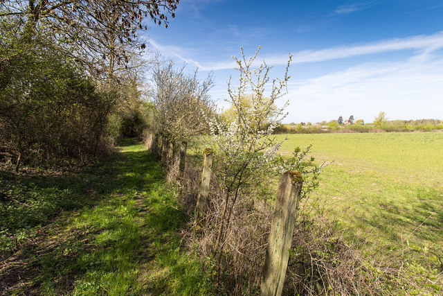
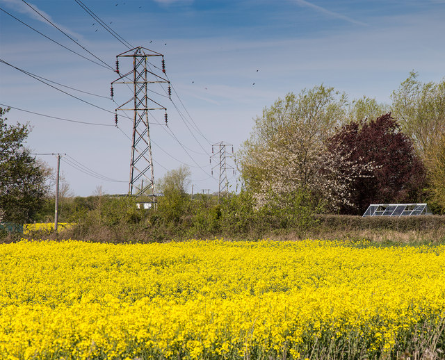
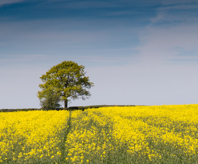
The village of Marston is known for its picturesque and idyllic setting. Surrounded by rolling hills, lush green fields, and charming cottages, it offers a peaceful and rural atmosphere. Marston is home to a close-knit community, with a population of around 500 residents.
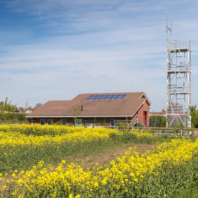
Although small, Marston offers a range of amenities for its residents. The village has a primary school, providing education for local children, as well as a village hall that serves as a hub for community events and gatherings. Marston also has a traditional pub, where locals and visitors can enjoy a pint and sample delicious pub food.
For those seeking outdoor activities, Marston is a great base to explore the surrounding countryside. The village is close to the Cotswold Way, a popular walking trail that stretches for 102 miles, offering stunning views of the Cotswolds Area of Outstanding Natural Beauty.
In conclusion, Marston is a charming and peaceful village in Gloucestershire, with beautiful surroundings and a strong sense of community. It provides a tranquil escape from the hustle and bustle of city life while still offering essential amenities and access to the stunning Cotswold countryside.
If you have any feedback on the listing, please let us know in the comments section below.
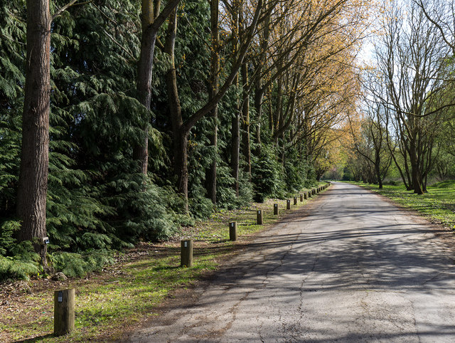
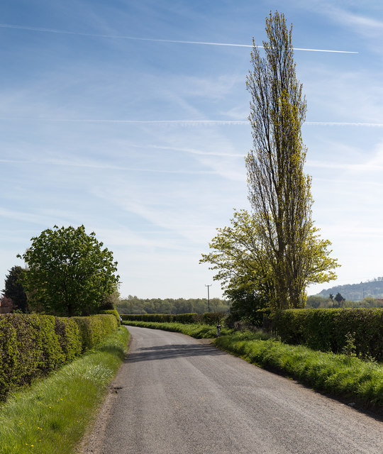
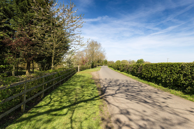
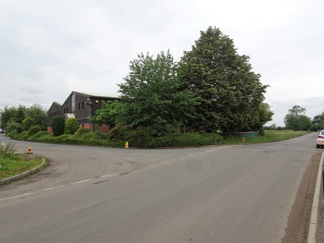
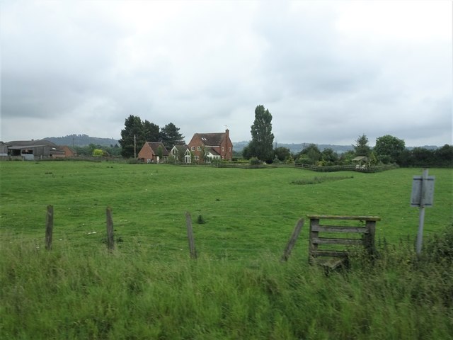
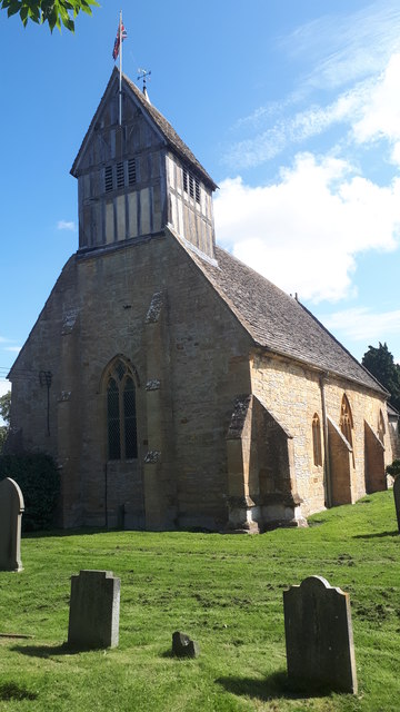
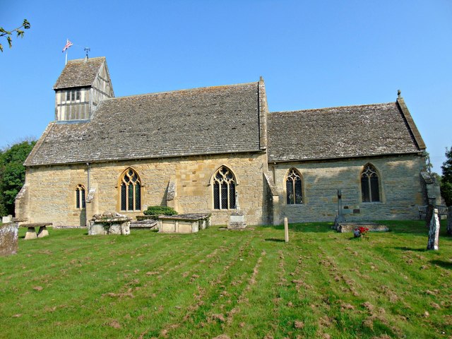
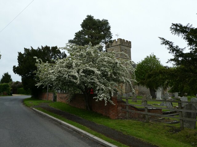
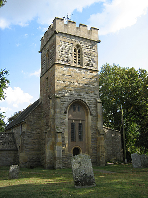
Marston, Broad Images
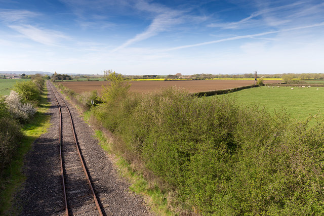
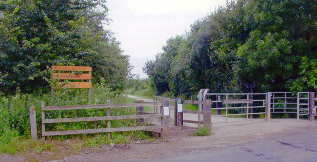
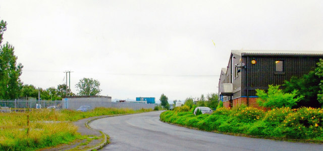
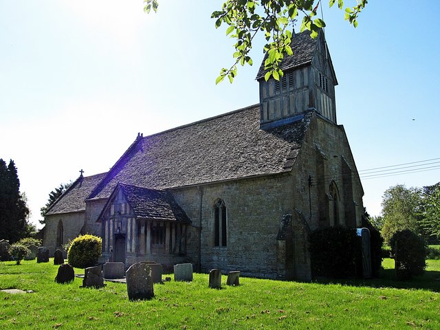
Images are sourced within 2km of 52.116151/-1.792588 or Grid Reference SP1446. Thanks to Geograph Open Source API. All images are credited.
Marston, Broad is located at Grid Ref: SP1446 (Lat: 52.116151, Lng: -1.792588)
Administrative County: Worcestershire
District: Wychavon
Police Authority: West Mercia
What 3 Words
///ruler.jetliner.belonged. Near Mickleton, Gloucestershire
Nearby Locations
Related Wikis

The Priory, Pebworth
The Priory, Pebworth (Broad Marston Priory) is a listed building in the village of Pebworth, in Worcestershire, England. == References ==
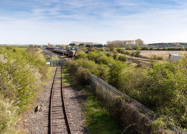
Pebworth Halt railway station
Pebworth Halt railway station served the village of Pebworth, Worcestershire, England from 1937 to 1966 on the Gloucestershire Warwickshire Railway....
Pebworth
Pebworth is a village and civil parish in the county of Worcestershire, lying about 5 miles north-north-west of the town of Chipping Campden in Gloucestershire...

Long Marston railway station
Long Marston railway station was a station at Long Marston, Warwickshire on the Great Western Railway line between Stratford-upon-Avon and Honeybourne...
Middle Quinton
Middle Quinton is the name given by the developers St. Modwen Properties and The Bird Group to a proposed new eco-town near Long Marston in Warwickshire...

Long Marston, Warwickshire
Long Marston is a village and civil parish about 5 miles (8 km) southwest of Stratford-upon-Avon in Warwickshire, England. The southern and western boundaries...

Marston Sicca Rural District
Marston Sicca was, from 1894 to 1931, a rural district in the administrative county of Gloucestershire, England. The district formed part of a salient...

Mickleton, Gloucestershire
Mickleton is a village and civil parish in the Cotswold District of Gloucestershire, England. The village is the northernmost settlement in Gloucestershire...
Nearby Amenities
Located within 500m of 52.116151,-1.792588Have you been to Marston, Broad?
Leave your review of Marston, Broad below (or comments, questions and feedback).